
Lake Tahoe, with its crystalline blue waters and majestic mountain backdrop, serves as the centerpiece for some of America’s most breathtaking drives. Straddling the California-Nevada border, this alpine treasure offers motorists an unparalleled opportunity to experience the diverse beauty of the Sierra Nevada range from the comfort of their vehicles.
Whether you’re seeking day trips from the lake or want to experience the entire shoreline, these 13 scenic routes showcase the best of the Tahoe region throughout all four seasons.
Lake Tahoe Scenic Loop
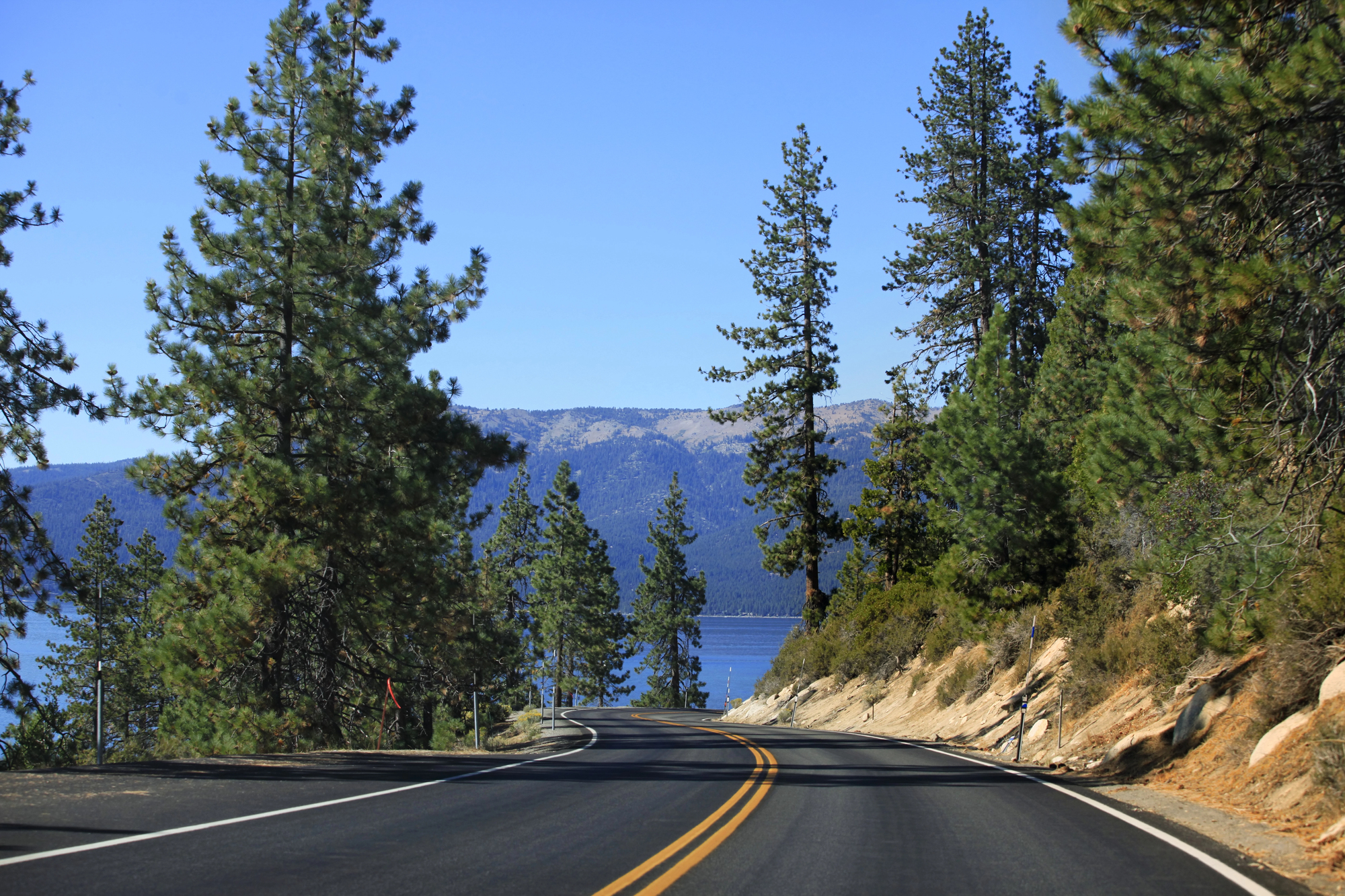
Often called “the most beautiful drive in America,” the complete 72-mile circuit around Lake Tahoe delivers an ever-changing panorama of azure waters, forested shores, and mountain vistas. The loop combines segments of several highways (US 50, NV 28, CA 89, CA 28) as it winds through charming lakeside communities and past numerous vista points.
The crown jewel of this route is undoubtedly Emerald Bay on the southwest shore, where a picture-perfect inlet framed by steep slopes creates one of the most photographed scenes in the country.
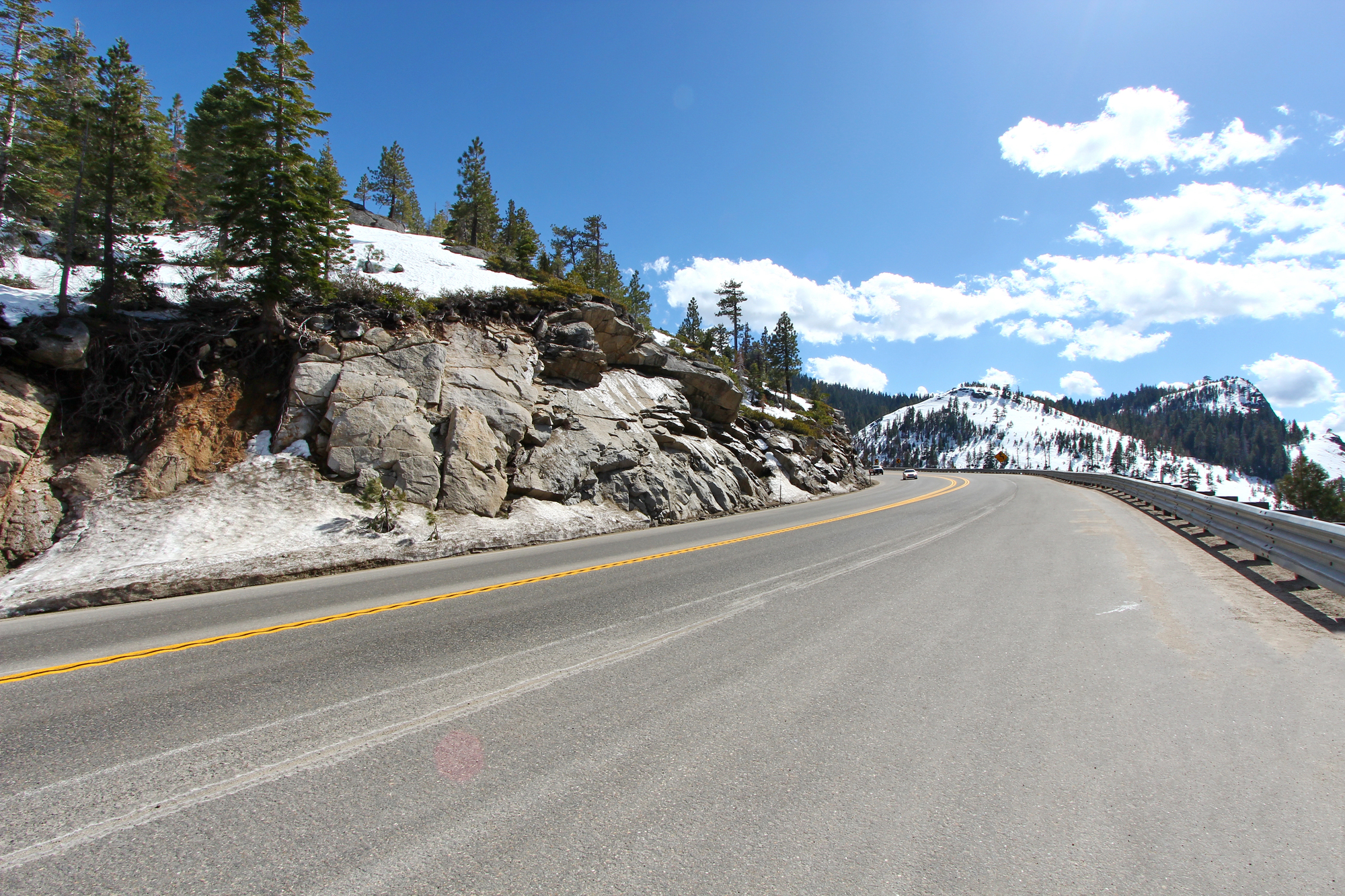
Mount Rose Highway (NV-431)
Rising dramatically from Incline Village on Tahoe’s northeastern shore, the Mount Rose Highway ascends to an impressive 8,911 feet at its summit—the highest year-round pass in the Sierra Nevada. This 23-mile journey between Incline Village and Reno offers thrilling overlooks of both Lake Tahoe to the west and Washoe Valley to the east.
At Mount Rose Summit, visitors can access a network of hiking trails, including the path to Mount Rose itself, while winter brings snowshoers and backcountry skiers to the expansive meadows along the ridgeline.
Carson Pass Highway (CA-88)
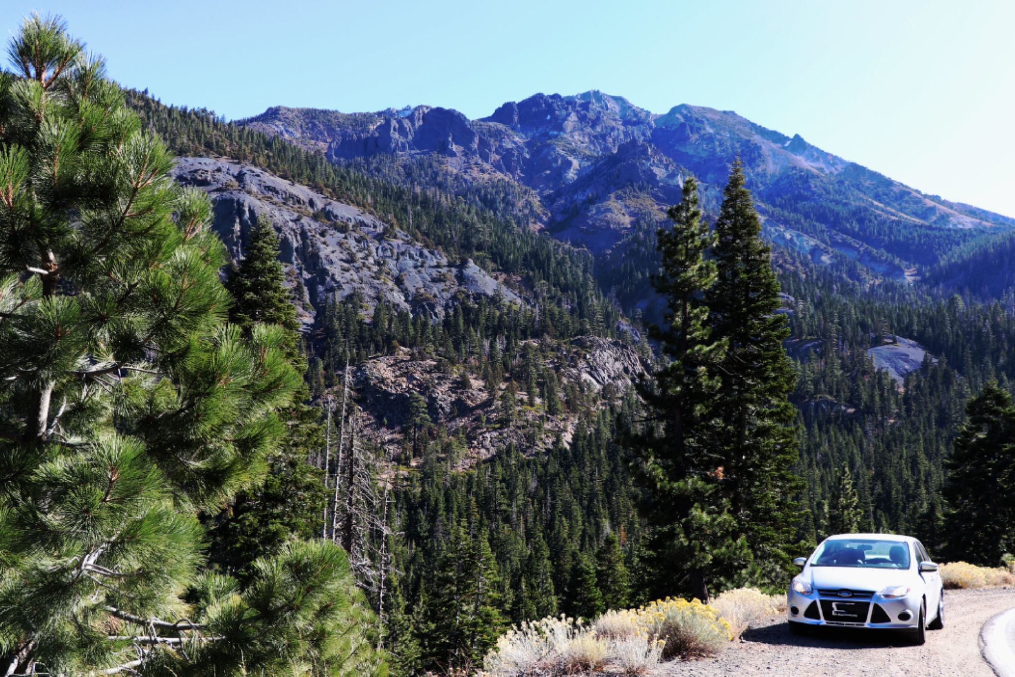
Traversing some of the Sierra’s most spectacular high-country terrain, the Carson Pass Highway connects the Sacramento Valley with the eastern Sierra Nevada. The route climbs through the Eldorado and Humboldt-Toiyabe National Forests, topping out at 8,650 feet at Carson Pass, where dramatic alpine vistas spread in all directions.
Travelers encounter a series of pristine mountain lakes, including Silver Lake, Caples Lake, and Red Lake, while the surrounding landscape transitions from dense forests to open meadows bursting with wildflowers in summer.
Like Travel Pug’s content? Follow us on MSN.
Ebbetts Pass National Scenic Byway (CA-4)
This nationally designated scenic byway delivers an intimate high Sierra experience along its 61-mile stretch between Arnold and Markleeville. Unlike wider, more developed trans-Sierra routes, Ebbetts Pass retains a delightfully primitive feel with narrow, winding sections that often lack even centerlines.
Climbing to 8,736 feet, the pass offers access to pristine wilderness areas, alpine lakes, and the magnificent groves of giant sequoias at Calaveras Big Trees State Park. The eastern descent features particularly dramatic hairpin turns that demand careful navigation but reward drivers with spectacular panoramic views.
Luther Pass (CA-89)
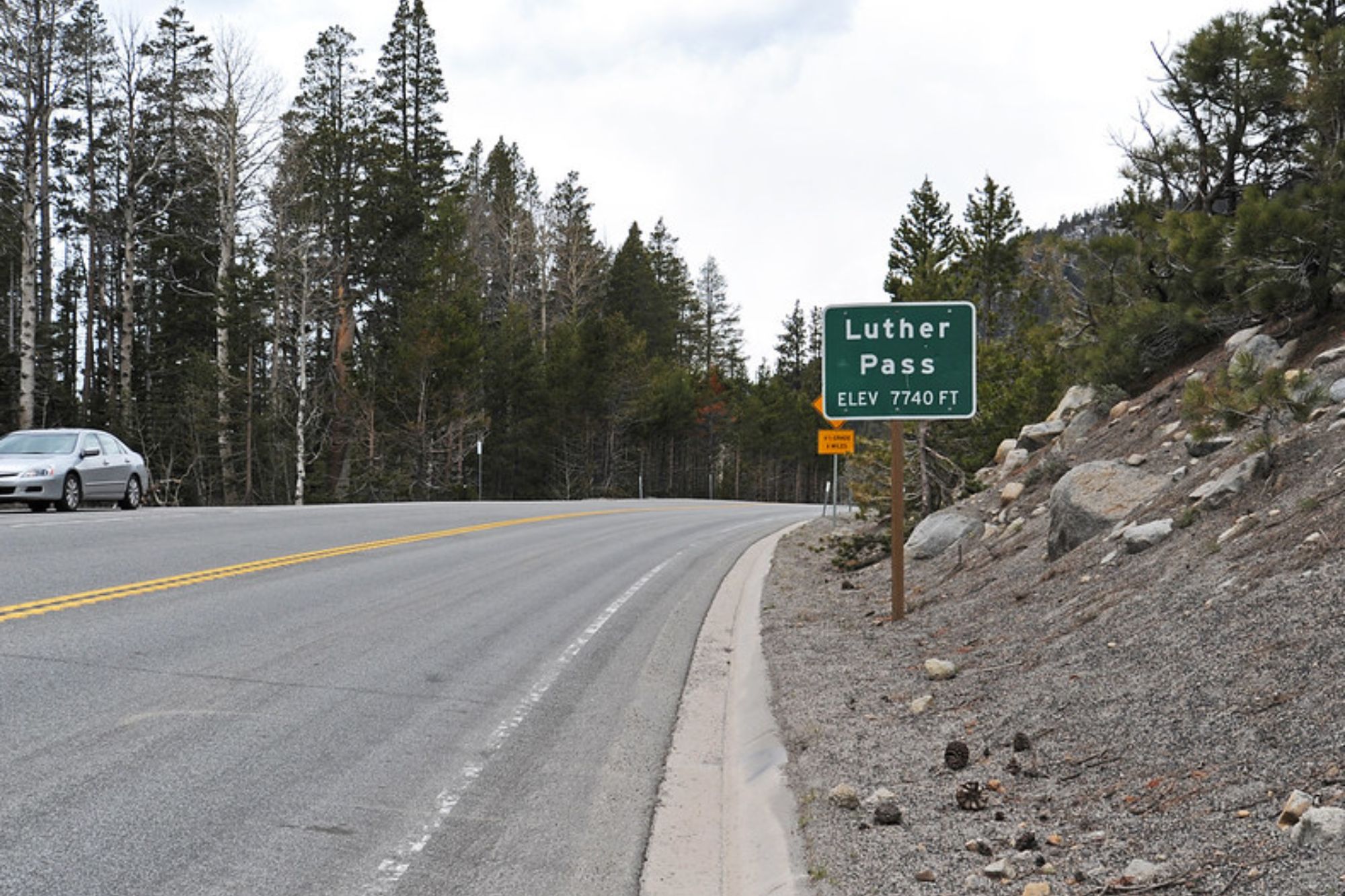
Connecting the Lake Tahoe Basin with the Carson Valley via Hope Valley, Luther Pass provides a relatively gentle crossing of the Sierra at 7,740 feet. The 10-mile segment of Highway 89 between US-50 near Meyers and Highway 88 winds through forests of lodgepole pine and fir while offering access to excellent hiking trails, including a segment of the Pacific Crest Trail.
In autumn, the aspen groves of nearby Hope Valley create a dazzling golden spectacle that draws photographers and leaf-peepers from across the region.
Kingsbury Grade (NV-207)
Connecting the Carson Valley with the South Shore of Lake Tahoe, this steep mountain road offers dramatic elevation changes and sweeping vistas in a relatively short distance. The 11-mile route climbs more than 2,500 feet from the valley floor near Gardnerville, Nevada, to the heights of Daggett Pass before descending to the casino area at Stateline.
Numerous pullouts allow motorists to safely take in the panoramic views of the Carson Valley below, while the upper sections provide glimpses of Lake Tahoe through the pine forests.
Like Travel Pug’s content? Follow us on MSN.
Pioneer Trail
Paralleling US-50 between Meyers and South Lake Tahoe, this quieter alternative route offers a more relaxed pace through forested neighborhoods and meadows. Once the original stagecoach route into the Tahoe Basin, Pioneer Trail now serves as a peaceful bypass that allows travelers to avoid the often-congested main highway during busy periods.
The road passes historic sites, mountain bike trailheads, and provides easy access to neighborhoods tucked among the towering pines away from the hustle of the main commercial corridors.
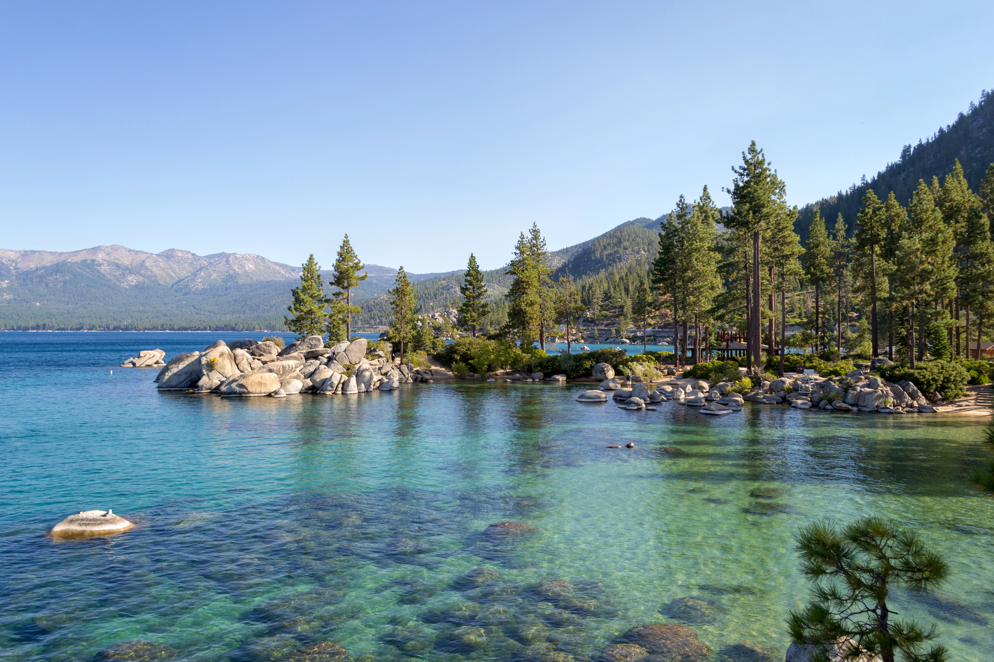
Emerald Bay Road (CA-89)
Though technically part of the main Lake Tahoe loop, the segment of Highway 89 from South Lake Tahoe to Emerald Bay merits special attention for its extraordinary beauty. This winding stretch of road clings to steep mountainsides while providing access to some of the lake’s most stunning vistas.
Multiple roadside turnouts invite motorists to stop and admire Emerald Bay from different angles, including the famous Inspiration Point overlook, where the postcard view encompasses the bay, Fannette Island, and Vikingsholm Castle nestled along the shoreline below.
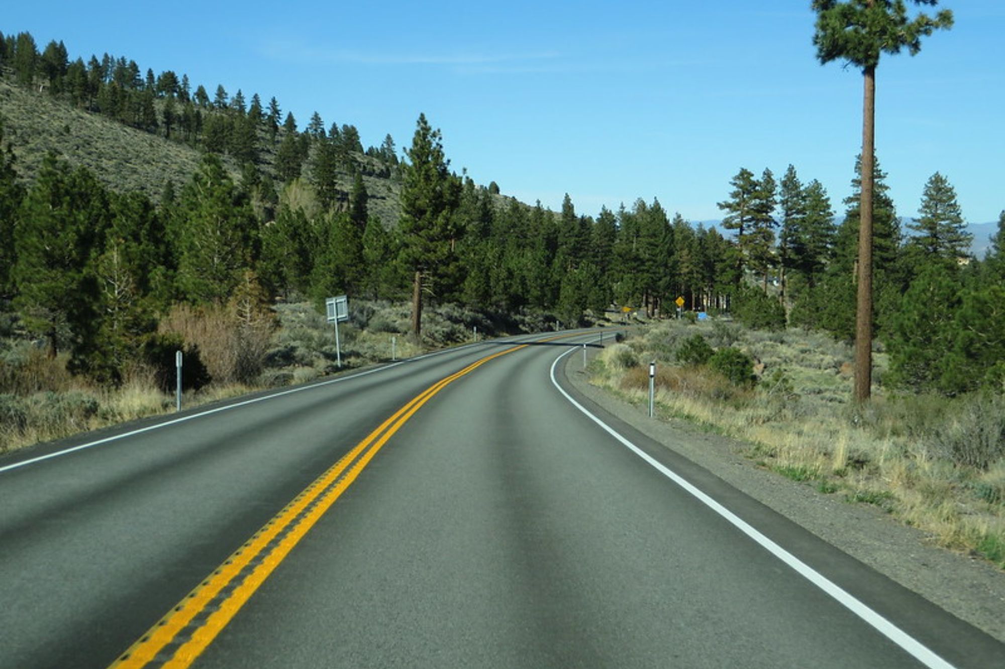
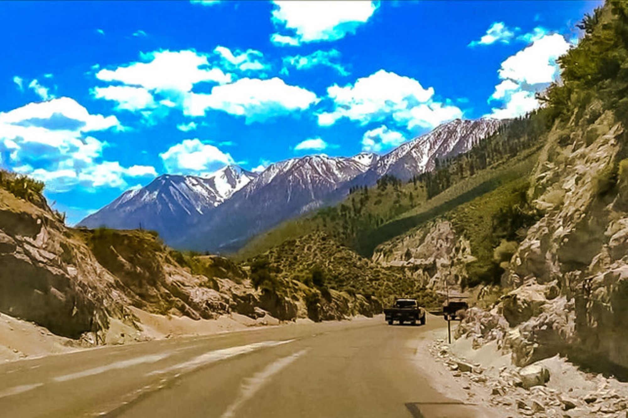
Monitor Pass (CA-89)
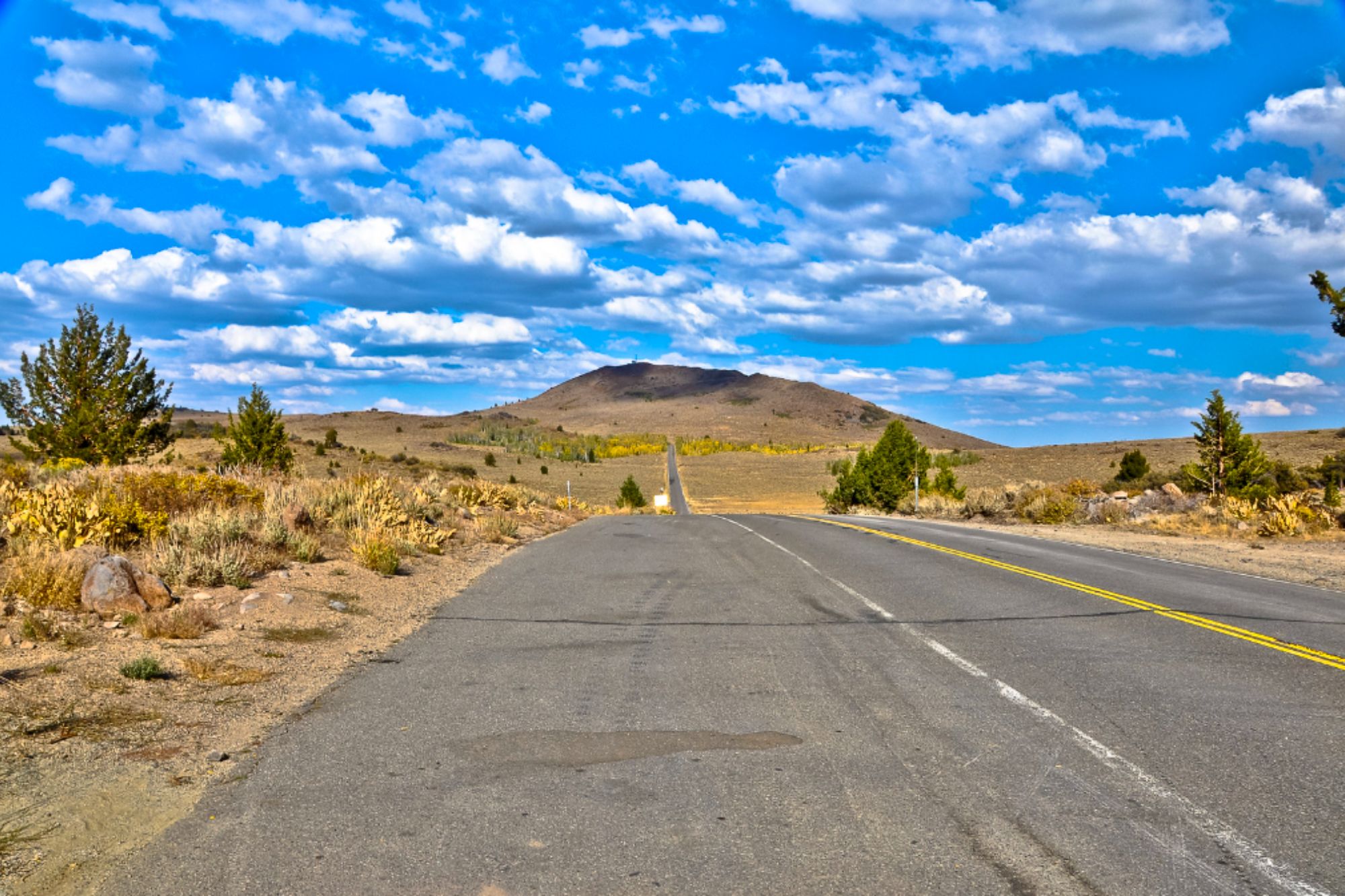
Branching off from US-395 south of Topaz Lake, this lesser-known Sierra crossing connects the eastern Sierra with the Markleeville area and eventually Lake Tahoe. Climbing to 8,314 feet, Monitor Pass offers sweeping, unobstructed views across vast open terrain that differ greatly from the densely forested slopes found elsewhere in the region.
In spring, the hillsides transform with spectacular wildflower displays, while fall brings brilliant colors to the aspen groves scattered across the landscape. The relatively light traffic on this route allows for a more contemplative driving experience.
Like Travel Pug’s content? Follow us on MSN.
Donner Pass Road
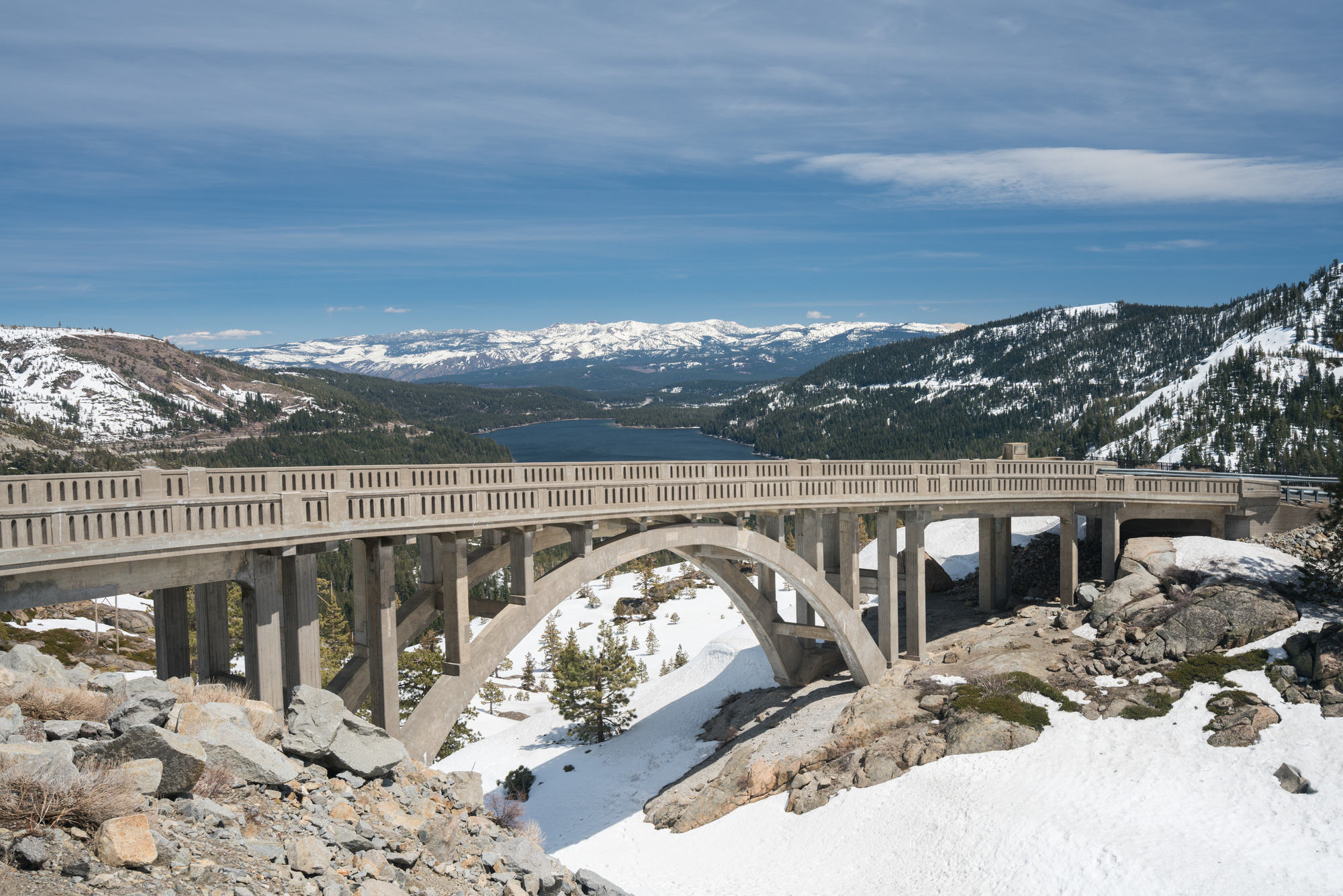
Following the historic route of the first transcontinental railroad, Donner Pass Road parallels Interstate 80 between Truckee and Norden but offers a far more intimate experience of this historically significant Sierra crossing. The road winds past massive granite outcroppings, through a landscape once traversed by pioneers, including the ill-fated Donner Party.
Historic sites along the route include the Summit Tunnel, China Wall, and various interpretive displays explaining the monumental achievement of building the railroad through this challenging terrain in the 1860s.
Fallen Leaf Lake Road
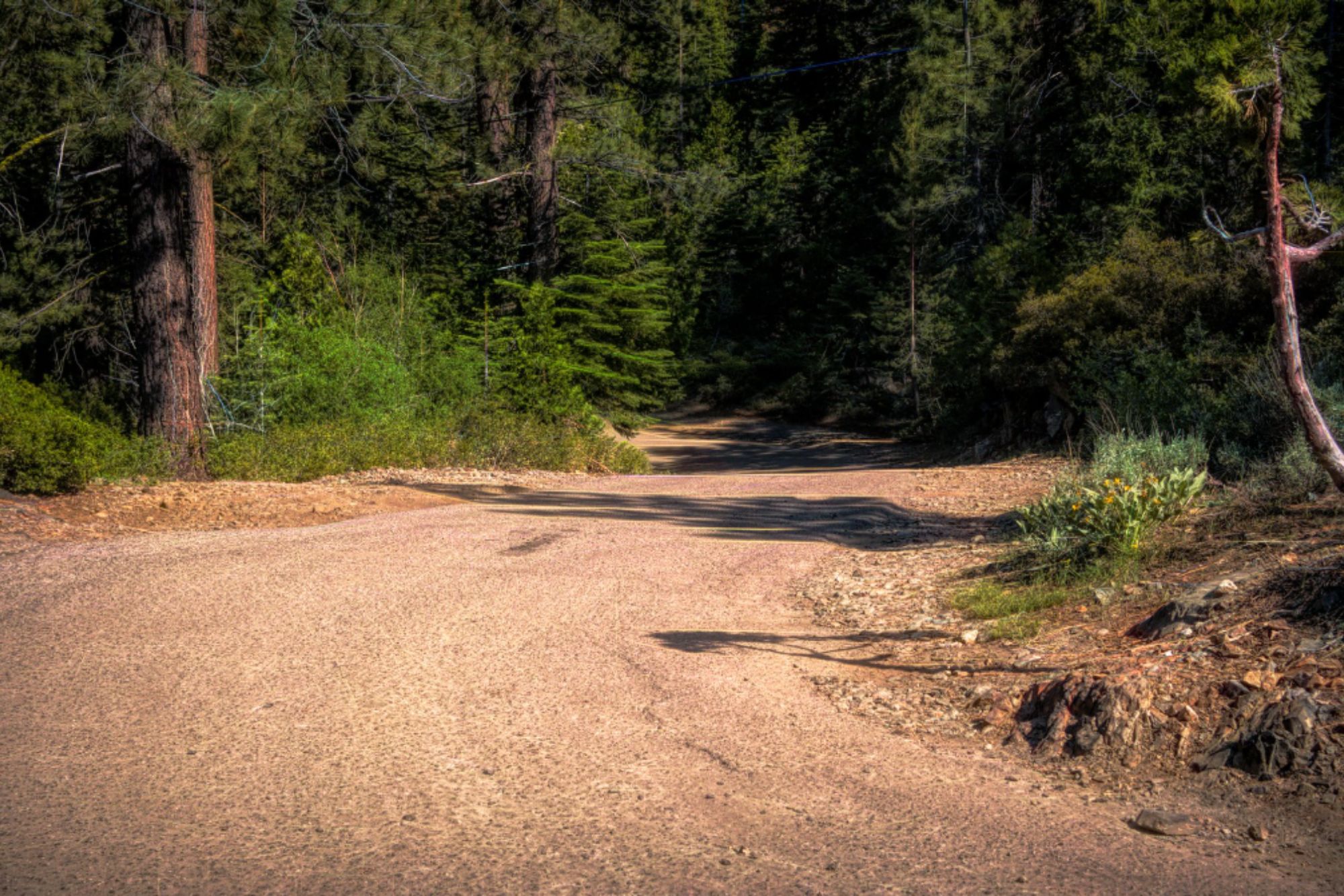
Branching south from Highway 89 near Camp Richardson, this narrow, sometimes bumpy road leads to the shores of Fallen Leaf Lake, a pristine alpine gem nestled beneath the towering flanks of Mount Tallac. The 5-mile drive takes visitors through dense forest before revealing stunning views of the crystal-clear lake and surrounding peaks.
At the road’s end, the historic Stanford Sierra Camp occupies a picturesque setting, while nearby trailheads provide access to wilderness areas, including Desolation Wilderness with its numerous alpine lakes and granite landscapes.
Tahoe-Pyramid Trail
Following the course of the Truckee River as it flows from its origin at Lake Tahoe down toward Pyramid Lake in Nevada, this route showcases the dramatic transition from alpine to desert environments. Beginning at the Lake Tahoe Dam in Tahoe City, the drive follows the river’s course through the vibrant town of Truckee, then continues through the spectacular Truckee River Canyon toward Reno.
Along the way, numerous pullouts and parks provide access to the river, where anglers, kayakers, and picnickers enjoy the clear mountain waters.
Like Travel Pug’s content? Follow us on MSN.
Olympic Valley Road
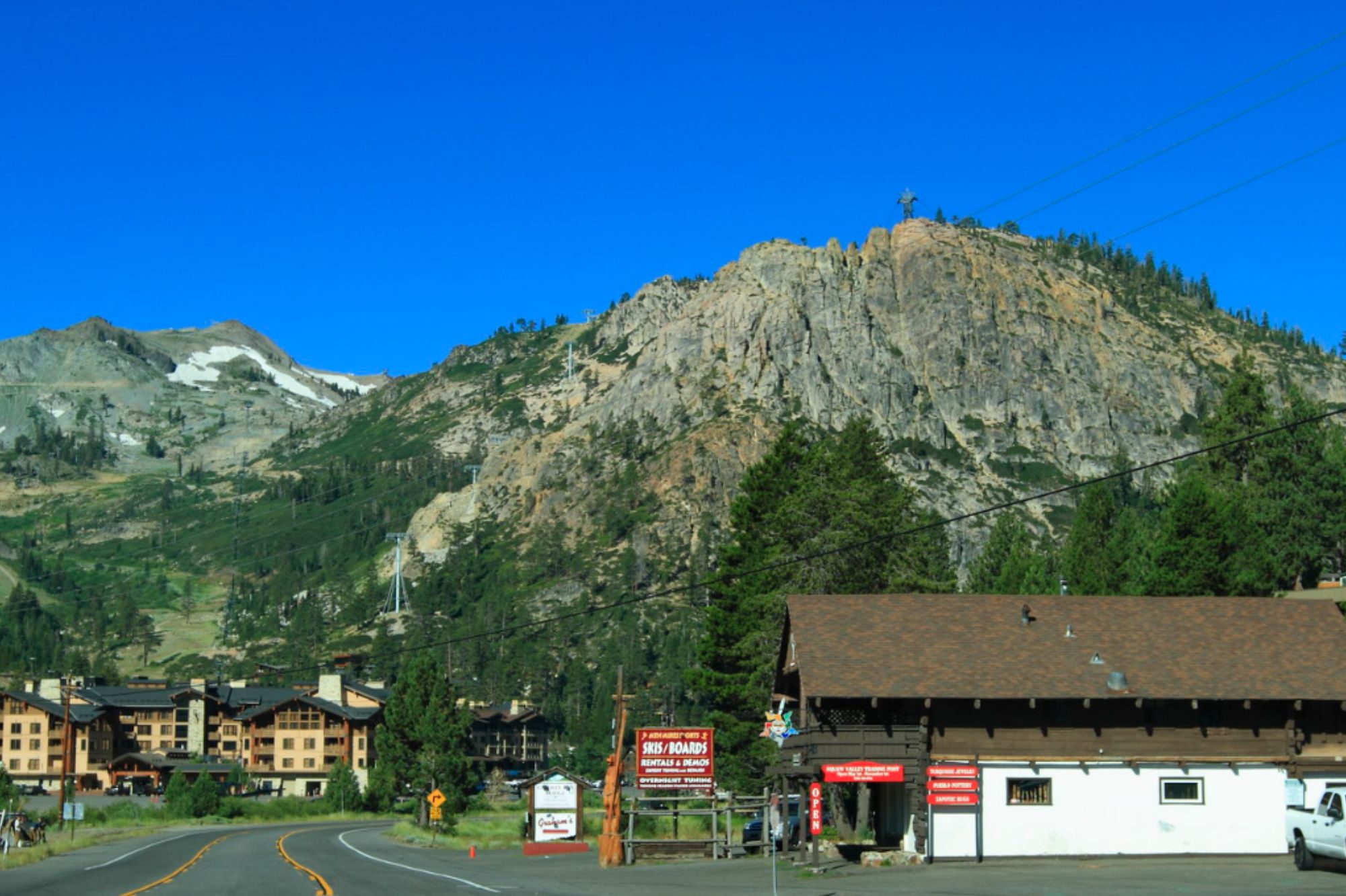
Branching west from Highway 89 between Tahoe City and Truckee, this short but spectacular drive leads into the magnificent valley that hosted the 1960 Winter Olympics. The road winds beneath towering peaks before opening into the broad meadow where Palisades Tahoe ski resort (formerly Squaw Valley) sits at the valley’s head. In winter, the route provides access to world-class ski terrain, while summer brings wildflower displays and access to the aerial tram that carries visitors to High Camp at 8,200 feet for panoramic views of the surrounding Sierra Nevada.
Alpine Splendor
What makes the Lake Tahoe region truly special for driving enthusiasts is not just the majesty of any single route but the remarkable diversity of landscapes accessible within a relatively compact area. From ancient forests to alpine meadows, from rushing rivers to peaceful lakeshores, the network of roads surrounding Lake Tahoe offers an ever-changing tableau of natural beauty.
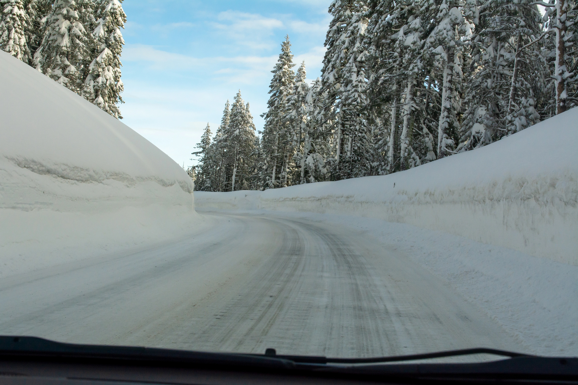
Each season brings its own distinct character to these routes—spring wildflowers, summer greenery, autumn gold, and winter snow—ensuring that even familiar drives reveal fresh wonders with each visit. Whether you have just a few hours or several days to explore, these scenic byways provide windows into the rich natural and cultural heritage of this extraordinary corner of the Sierra Nevada.
More from Travel Pug

- Cities Growing so Fast You Won’t Recognize Them in 10 Years
- 13 Destinations Where Tourists Regularly Regret Their Trip
- 16 U.S. Cities That Are Quietly Becoming Travel Hotspots
- Where to Travel If You Love Long Bus Rides and Daydreams
- 20 Cities Perfect for Solo Travelers Who Crave Adventure & Culture
Like Travel Pug’s content? Follow us on MSN.