The vast outback of Australia is full of geological formations shaped by natural
processes over millions of years. These formations, documented through geological
surveys and scientific studies, represent significant examples of weathering, erosion,
and tectonic activity.
From established national parks to remote wilderness areas, these sites offer
firsthand opportunities to observe unique geological processes.
The Walls of China, Mungo National Park
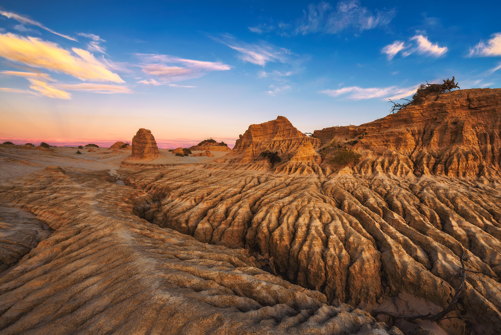
These clay and sand formations extend almost 19 miles in New South Wales.
Science dating has found evidence that humans have occupied this place for more
than 40,000 years, though archaeological evidence on the site includes Mungo Man
and Mungo Lady.
The site is currently managed jointly with the traditional custodians. Guided tours are available through authorized operators.
Lost City, Litchfield National Park
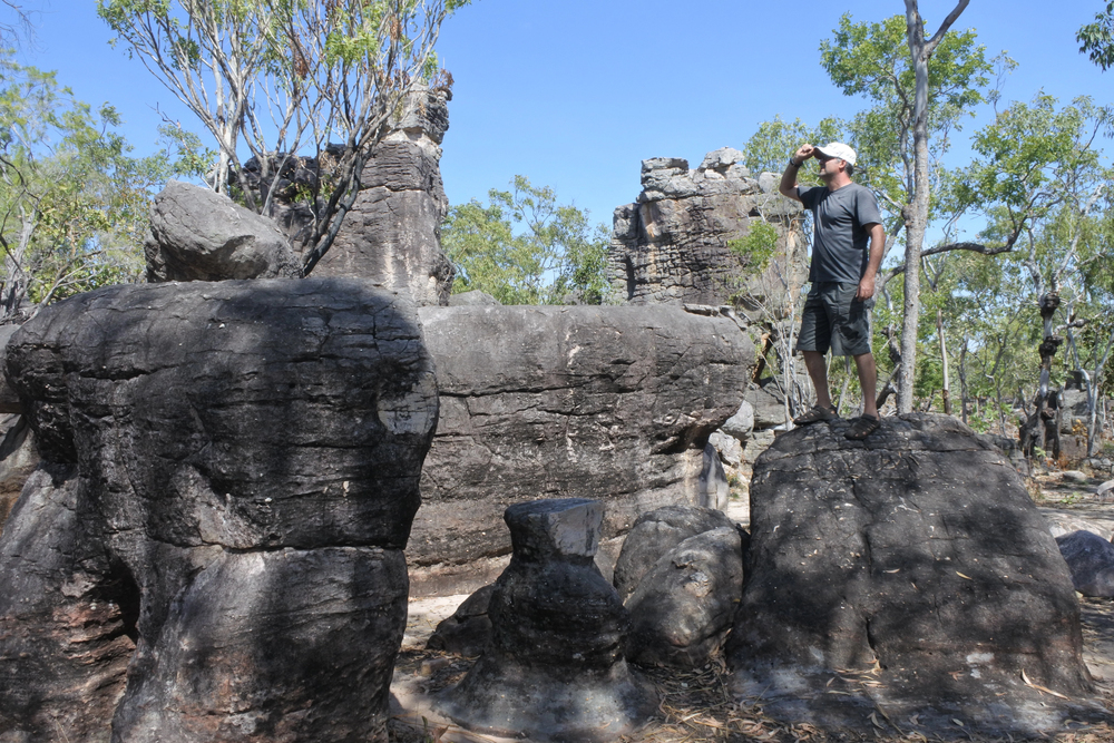
This Northern Territory sandstone collection features closely packed pillars resulting
from massive weathering processes. The site is about 6 miles from the nearest
accessible road, and geologic studies show that the pillars were created through
differential erosion due to differences in rock density.
It requires a tough hike through documented bush trails, and the best time to visit is during the dry season, from May to October.
Like Travel Pug’s content? Follow us on MSN.
The Pinnacles, Nambung Desert
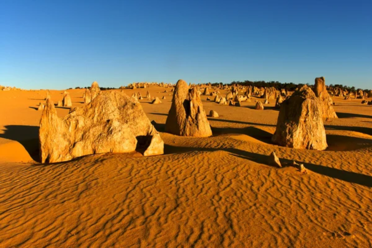
These Nambung National Park spires in Western Australia rose out of ancient
seabeds some 25,000 to 30,000 years ago. They range in height from 3 to 16 feet
and can be pointed or rounded.
The spires can be accessed by a marked 2.5-mile driving trail through Nambung National Park, and there are even established walking paths that allow more intimate observation.
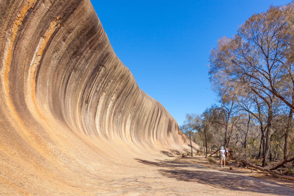
Wave Rock, Hyden

This granite formation in Western Australia is 46 feet tall and stretches for 360 feet.
Geological studies date the rock to about 2.7 billion years ago, and its wave-like
shape is due to chemical weathering and water erosion.
The site has documented Indigenous rock art and established walking trails, and research indicates that it is a water catchment area for local ecosystems.
Devils Marbles, Karlu Karlu
These granite formations are known as Karlu Karlu by the Warumungu, Kaytetye,
Alyawarre, and Warlpiri people, located in the Northern Territory. The boulders range
from 3 to 20 feet in diameter and have been formed through spheroidal weathering
of granitic bedrock.
The conservation reserve is managed through a joint arrangement with traditional owners and has documented cultural significance spanning generations.
Like Travel Pug’s content? Follow us on MSN.
Murphy’s Haystacks, Eyre Peninsula
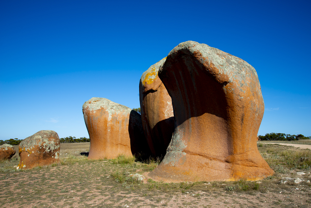
These inselbergs on South Australia’s Eyre Peninsula consist of pink granite dated to
approximately 1.5 billion years old. The formations demonstrate documented
weathering processes, including tafoni (cavity) development and exfoliation.
Historical records from the 1800s confirm the origin of their name when early settlers
viewed them from a distance.
Bungle Bungle Range, Purnululu
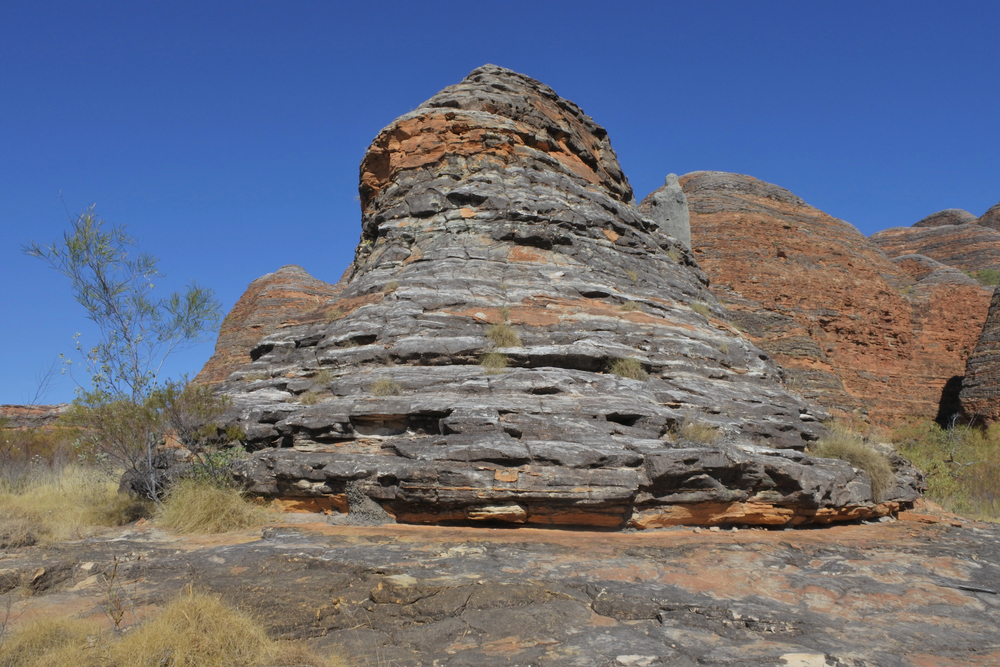
This sandstone range in Western Australia’s Kimberley region displays distinctive
orange and grey banding patterns. Geological studies indicate the formations
developed approximately 350 million years ago, with the unique striping resulting
from alternating layers of cyanobacteria-coated sandstone.
The site received a World Heritage listing in 2003, recognizing its exceptional natural and cultural significance.
Kings Canyon, Watarrka National Park
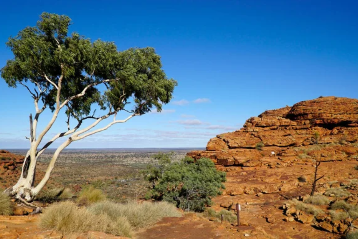
This sandstone formation in the Northern Territory features vertical cliffs rising 328
feet from the desert floor. Geological evidence indicates the canyon formed
approximately 440 million years ago when sand was deposited in an ancient sea
bed.
The established Rim Walk circuit extends for 3.7 miles, with documented archaeological sites.
Like Travel Pug’s content? Follow us on MSN.
Cave Hill, Pukatja
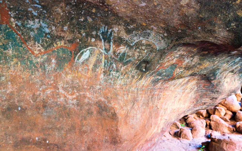
Archaeological surveys have documented significant rock art sites on this sandstone
outcrop in South Australia. Access to the site is managed through the Anangu
Pitjantjatjara Yankunytjatjara lands permit system, and visits require accompaniment
from traditional owners.
Research has confirmed the presence of both prehistoric and contemporary Indigenous artwork.
The Breadknife, Warrumbungle National Park
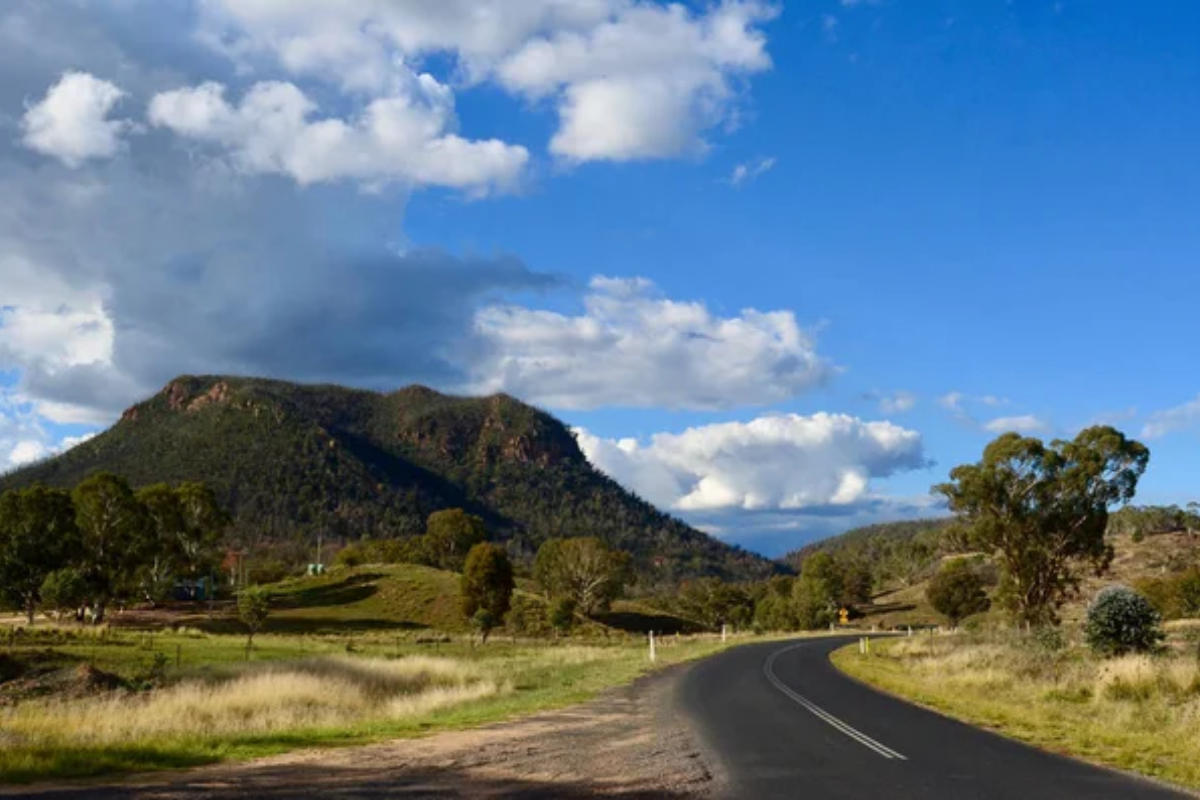
This New South Wales volcanic dyke has an elevation of 295 feet and is 12 feet in
width. Geologists dated it as approximately 13-17 million years old when magma
intruded through existing rock layers.
Access is via a defined 2.3-mile walking track and viewing platforms at significant points.
Mount Connor, Red Centre
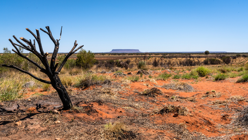
This inselberg in the Northern Territory rises 984 feet above the surrounding plain
and covers an area of approximately 14 square miles. Geological research dates the
sandstone formation to the late Neoproterozoic period, approximately 550 million
years ago.
The formation, known as Attila to the Yankunytjatjara and Pitjantjatjara people, requires permits for close access.
Like Travel Pug’s content? Follow us on MSN.
Cockburn Range, Kimberley
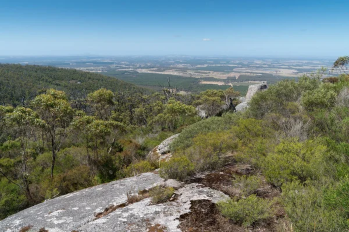
This sandstone escarpment extends 37 miles across the Kimberley region of
Western Australia. Geological studies indicate the range formed during the
Proterozoic era, approximately 1.8 billion years ago.
Seasonal watercourses have created documented erosion patterns across the cliff faces, which rise approximately 2,000 feet above the surrounding plains.
Castle Rock, Porongurup Range
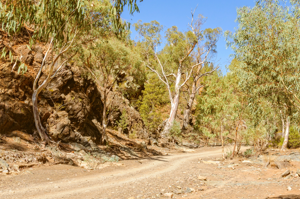
This granite outcrop in Western Australia’s Porongurup National Park demonstrates
classic examples of spheroidal weathering processes. The formation sits atop a
ridge system of approximately 1.1 billion years old.
Access is via a designated 2.2- mile hiking trail, with safety infrastructure installed at key viewing points.
Wilpena Pound, Flinders Ranges
This natural amphitheater in South Australia is 8 miles in diameter and has rim walls
that rise to 3,000 feet. Geological evidence indicates that it was formed by folding
sedimentary rocks approximately 800 million years ago.
The site, known as Ikara to the Adnyamathanha people, features documented archaeological sites and established walking trails.
Like Travel Pug’s content? Follow us on MSN.
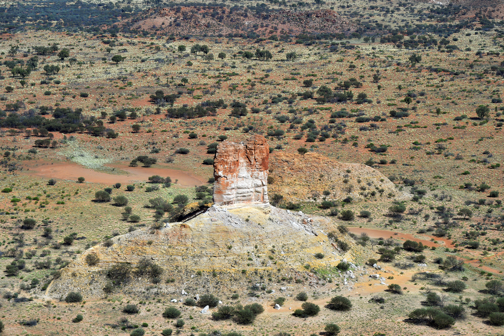
Chambers Pillar, Simpson Desert
This sandstone column in the Northern Territory measures 164 feet from its base
and is made of cross-bedded sandstone layers. Geological studies have shown that
it was formed approximately 350 million years ago when an inland sea covered the
land.
The earliest historical accounts state that early European explorers used this column as a navigation landmark in the 1860s.
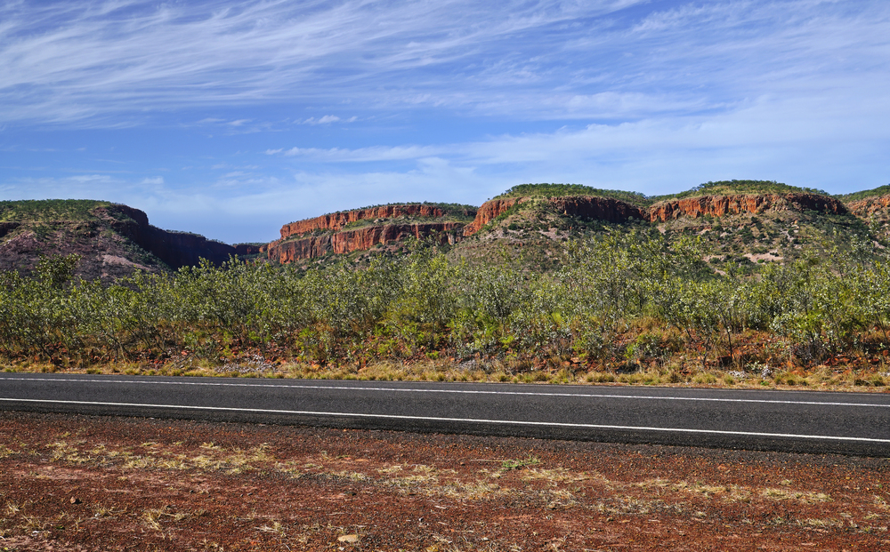
Gun Barrel Highway Breakaways

These mesa formations in Western Australia demonstrate differential erosion
patterns in sedimentary rock layers. Scientific studies indicate the formations from
the weathering of ancient landscapes during the Cenozoic era.
Due to their remote location, access requires four-wheel drive vehicles and documented safety preparations.
The Granites, Tanami Desert
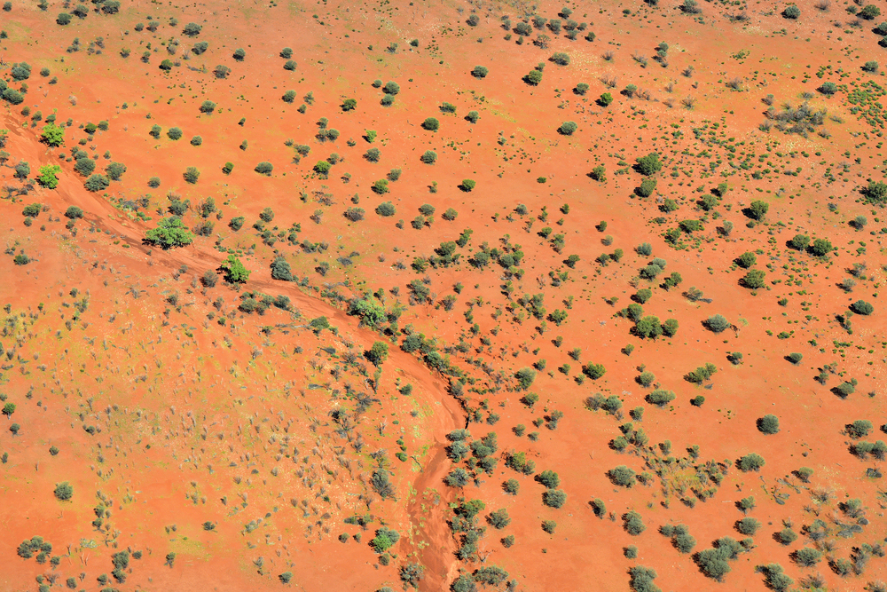
These granite outcrops in the Northern Territory contain documented evidence of
geological processes and human occupation. Archaeological surveys have recorded
numerous Indigenous rock art sites, with occupation evidence dating back thousands
of years.
Access requires permits and careful navigation across designated desert tracks.
Like Travel Pug’s content? Follow us on MSN.
Cathedral Gorge, Bungle Bungles
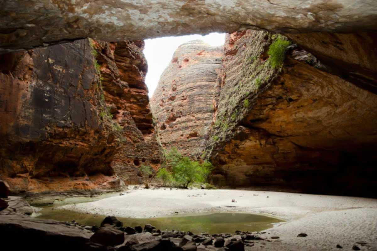
This natural amphitheater within the Bungle Bungle Range demonstrates the effects
of water erosion on sandstone formations. Acoustic studies have documented the
site’s natural sound reflection properties.
The gorge is accessible via a designated 1- mile walking trail from the range’s main access road.
Gog and Magog, Mount Augustus
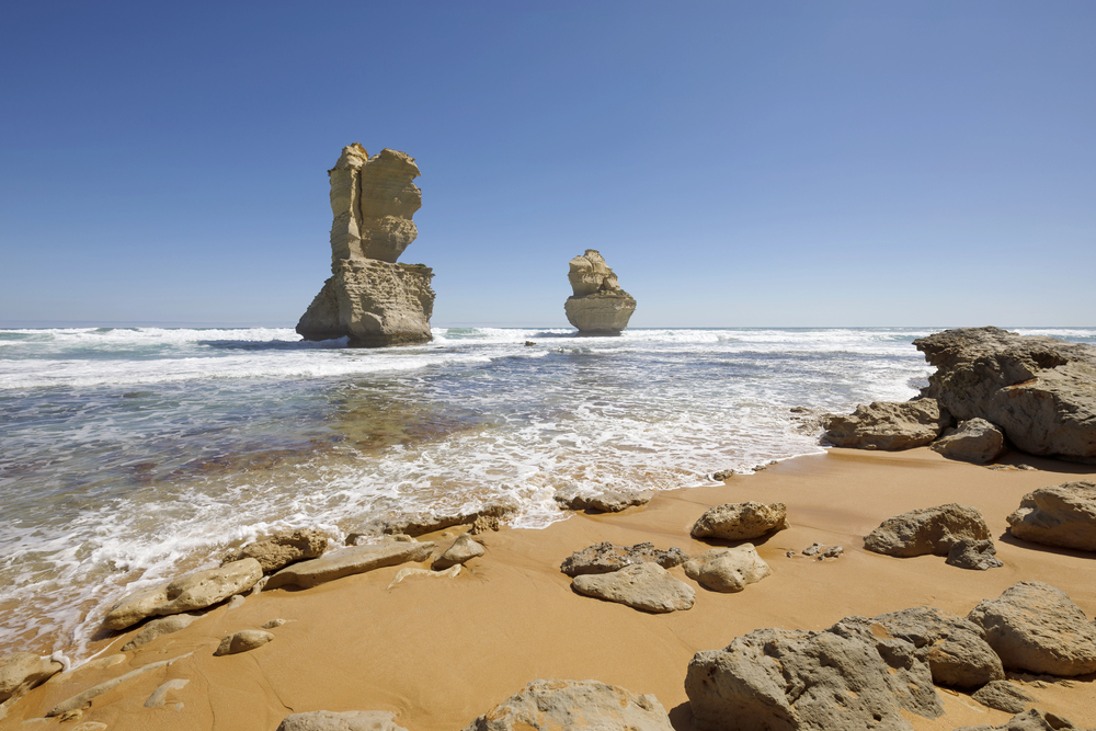
These weathered rock formations near Mount Augustus in Western Australia show
advanced stages of granite erosion. Geological studies indicate they share origins
with the main monolith, which dates back about 1.6 billion years.
Traditional custodians maintain documented cultural connections to these formations through stablished storylines.
Cave Creek Towers, MacDonnell Ranges
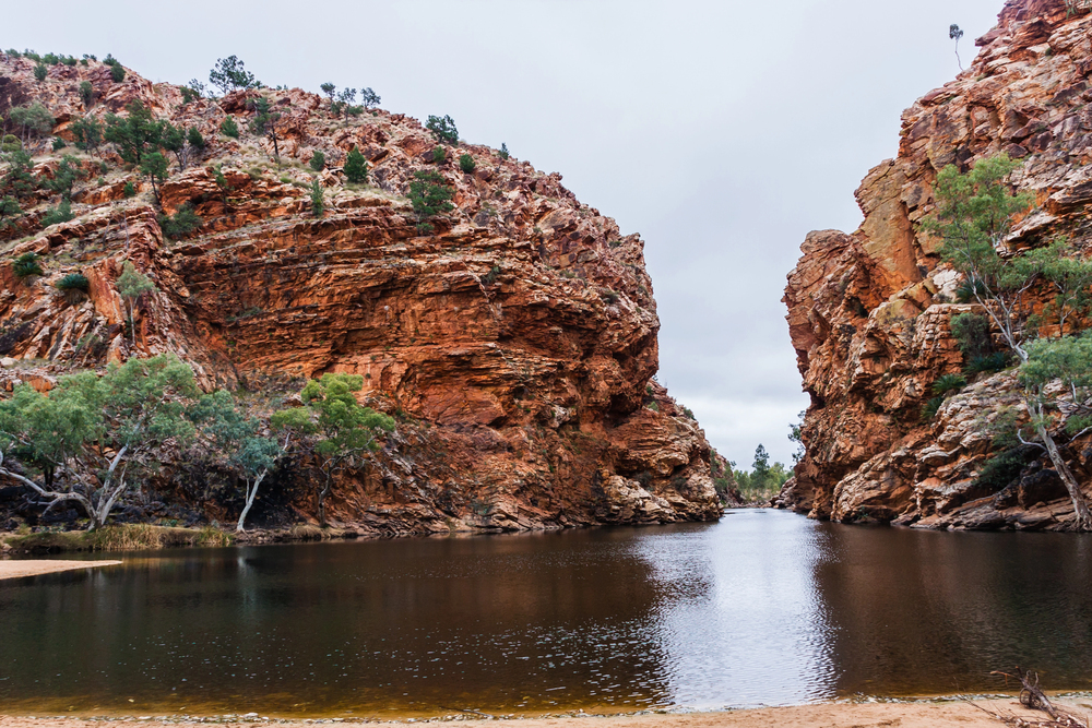
These sandstone formations in the Northern Territory demonstrate extensive
weathering patterns documented through geological surveys. Research indicates
their formation through differential erosion of varying rock layers over millions of
years.
Access requires a challenging 12-mile hike through marked trails, with established protocols for visitor management.
Like Travel Pug’s content? Follow us on MSN.
Experiencing Australia’s Geological Heritage

These formations are among the most important examples of Australia’s geological
processes, documented through scientific research and cultural knowledge. While many sites require careful preparation and respect for access protocols, they offer
opportunities to observe geological processes spanning billions of years.
Visitors should always check current access requirements, obtain necessary permits,
and follow established guidelines for responsible site visitation.
More from Travel Pug

- 15 Dangerous European Cities to Avoid
- 15 Caribbean Islands Where Tourists Keep Getting Scammed
- The 20 Most Fascinating Abandoned Places: A Journey Through Time and Forgotten Spaces
- 15 Hidden Places in the Smithsonian Museums Locals Love: A Guide to Lesser-Known Treasures
- 16 Hidden Florida Beach Towns That Aren’t Overrun with Tourists
Like Travel Pug’s content? Follow us on MSN.
