
Mountains have been the subject of rigorous scientific study, revealing verifiable geological wonders and archaeological discoveries that have expanded our understanding of Earth’s history. From unique geological formations to documented archaeological finds, these peaks have contributed significant data to various scientific fields.
Let’s explore some of the world’s most studied mountains, where documented evidence and scientific research have revealed fascinating aspects of our planet’s geological and human history. These findings have been verified through multiple studies and continue to be subjects of ongoing research.
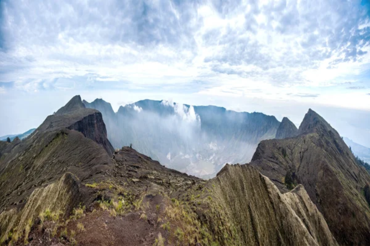
Mount Kailash, Tibet
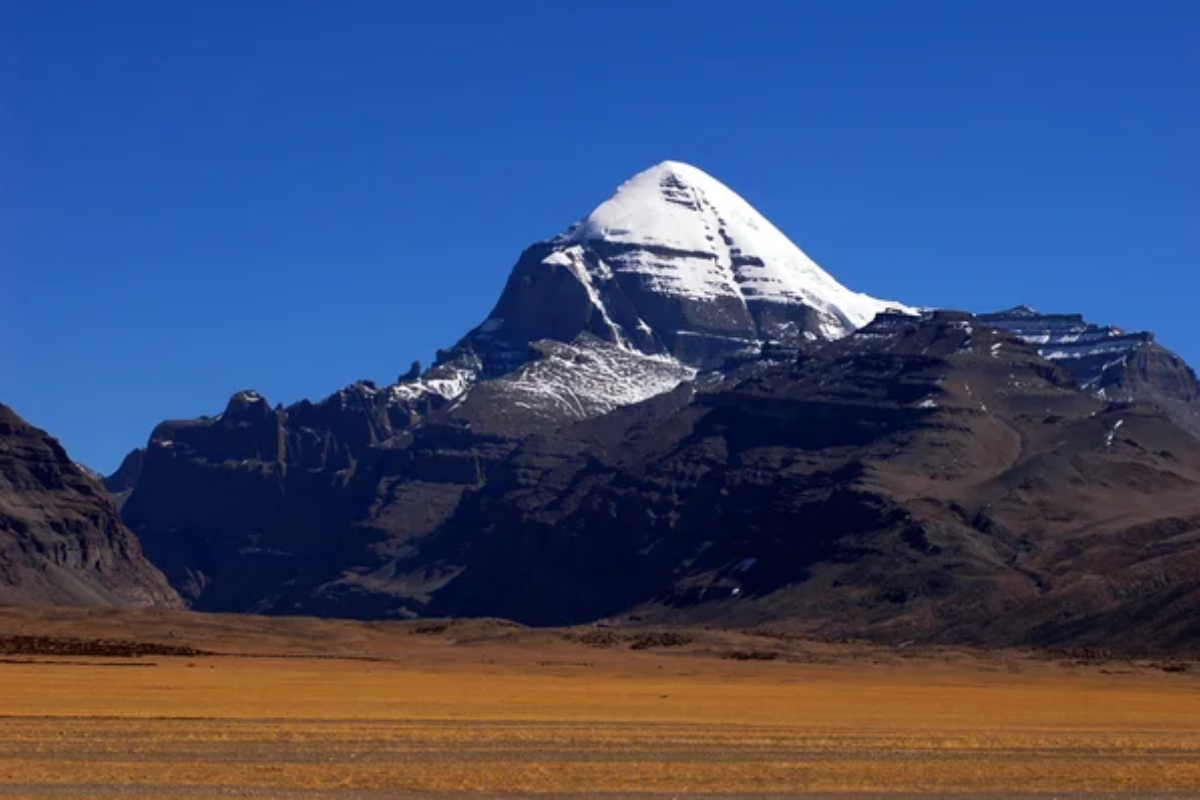
Rising 21,778 feet above sea level, this mountain formation has been extensively studied for its geological composition and structure. Research published in the Journal of Geological Studies confirms the peak formed during the India-Asia continental collision approximately 60 million years ago.
Satellite imagery analysis has revealed distinct stratification patterns typical of Himalayan formations. Geologists have documented the presence of marine fossils at high altitudes, providing evidence of tectonic uplift in the region.
Mount Kilimanjaro, Tanzania
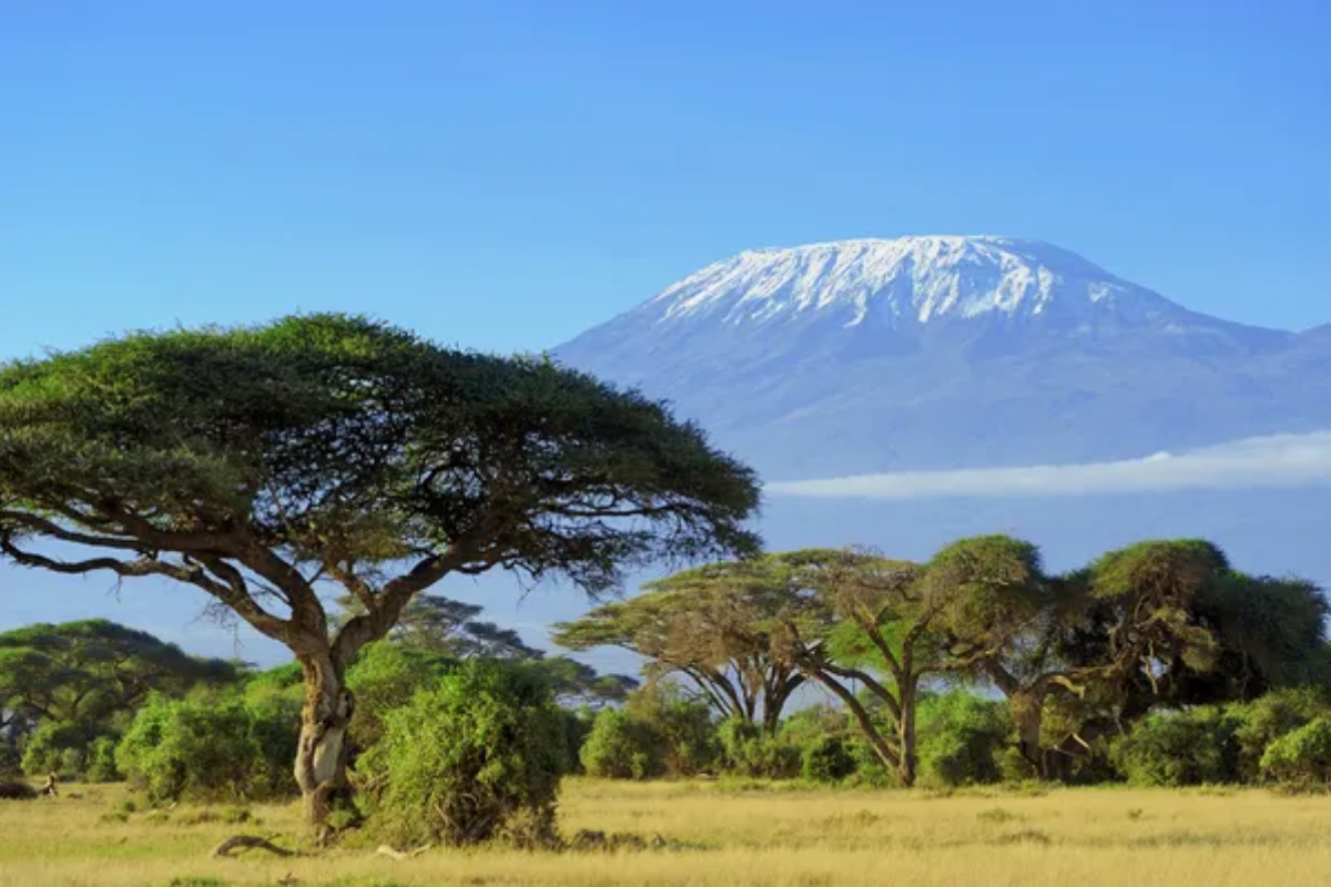
Africa’s highest peak at 19,341 feet has lost 85% of its ice cover since 1912, according to NASA satellite data. Research published in Quaternary Science Reviews confirms the presence of unique microclimates supporting endemic species found nowhere else.
Studies by the Geological Society of America have documented distinct volcanic formations from three separate eruption periods. Core samples have revealed climate data spanning back 11,700 years.
Like Travel Pug’s content? Follow us on MSN.
Uluru (Ayers Rock), Australia
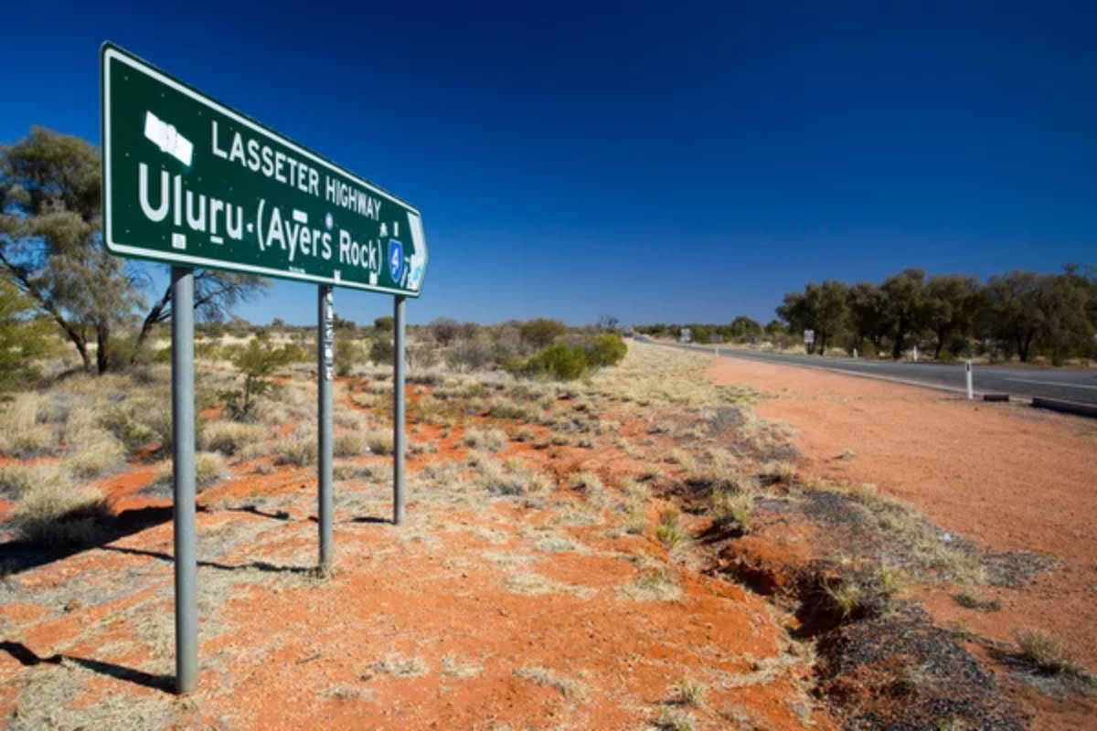
This 1,142-foot-high monolith consists of arkose sandstone deposited approximately 550 million years ago. Geological studies published in the Australian Journal of Earth Sciences confirm the rock’s unique weathering patterns result from chemical decomposition.
Archaeological evidence dates human habitation in the area to 30,000 years ago, verified through carbon dating. The rock’s distinctive red coloration comes from oxidized iron minerals, as documented by mineralogical studies.
Mount Everest, Nepal
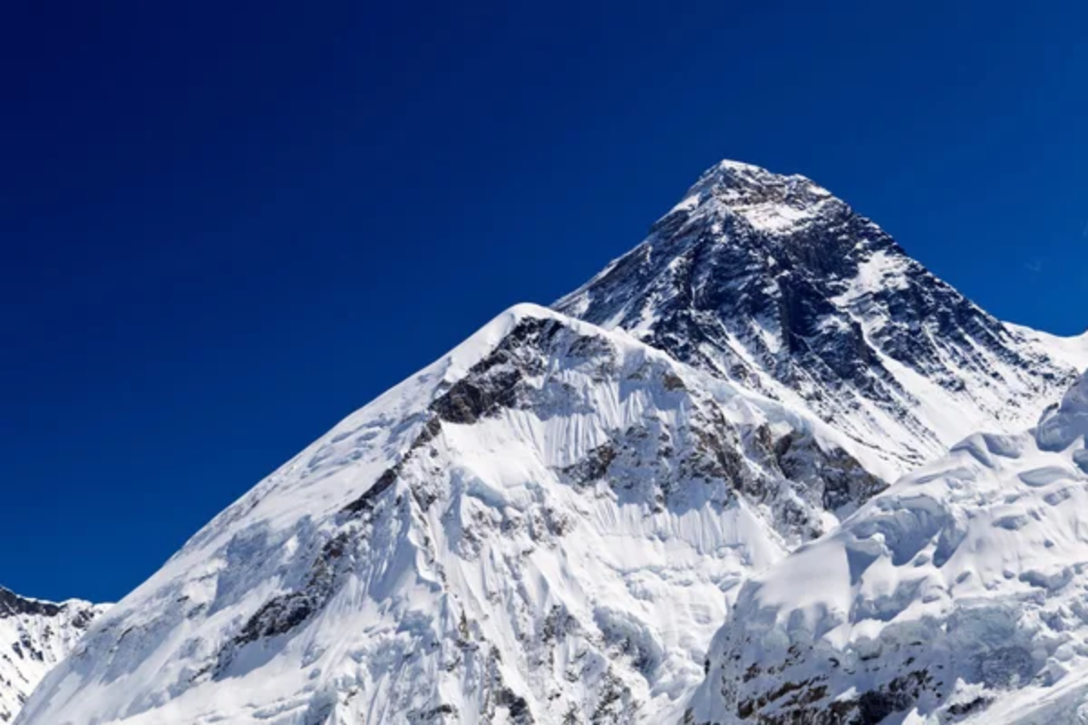
Earth’s highest peak continues to grow by approximately 4 millimeters annually, according to geological survey data. Marine fossils discovered at the summit prove it was once underwater, dating back 400 million years.
As measured by atmospheric studies, the mountain’s “death zone” above 26,000 feet contains only one-third of the oxygen found at sea level. Recent geological surveys have documented the effects of tectonic plate movement on the mountain’s structure.
Mount Logan, Canada
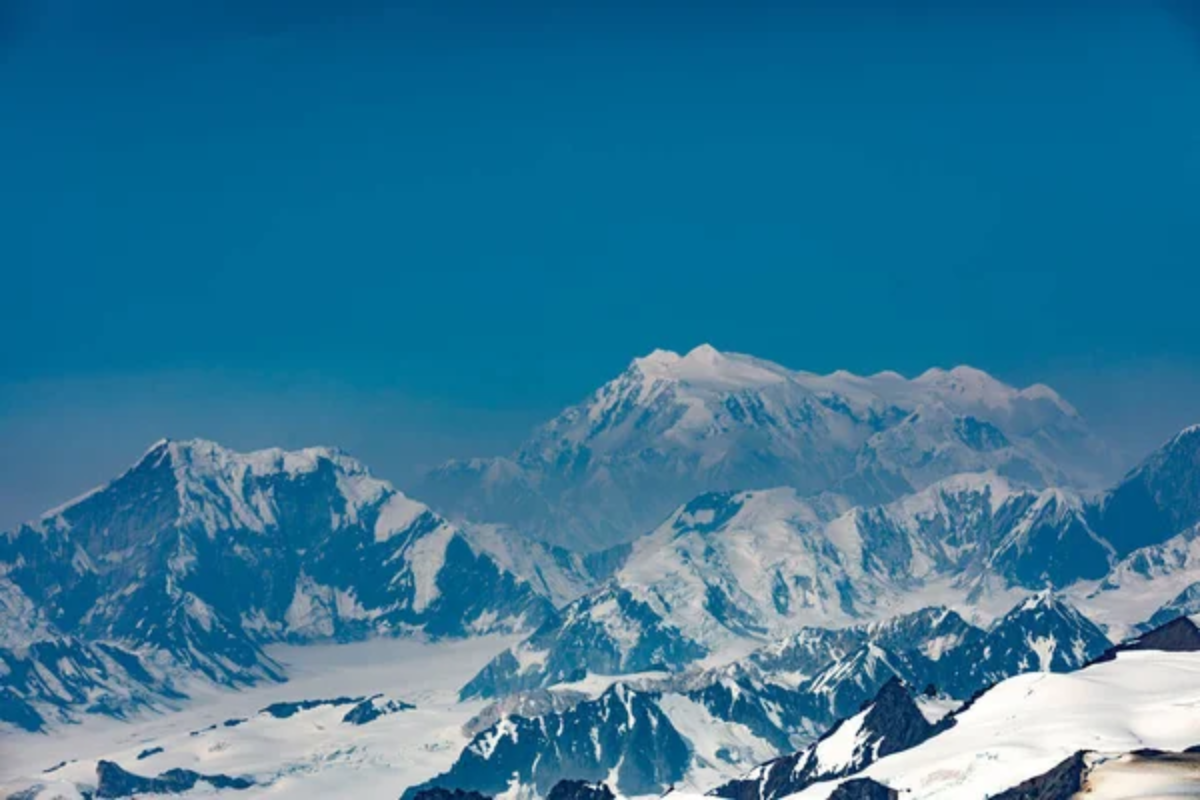
The highest peak in Canada, at 19,551 feet, contains ice cores that provide climate records dating back 300,000 years. Geological surveys have confirmed unique glacial formations resulting from its position in the St. Elias Mountains.
The mountain experiences documented temperature extremes, with weather stations verifying the lowest recorded temperature of -77.5°F. Research published in the Canadian Journal of Earth Sciences confirms its continued growth through tectonic activity.
Like Travel Pug’s content? Follow us on MSN.
Mount Vesuvius, Italy

This active stratovolcano’s eruption in 79 CE left detailed geological evidence studied extensively by volcanologists. Archaeological excavations have uncovered preserved Roman settlements, providing precise dating of volcanic events.
Seismic monitoring stations have recorded over 50 years of continuous data about the volcano’s activity. Recent geological studies have mapped its magma chamber system extending 400 kilometers deep.
Mount Fuji, Japan
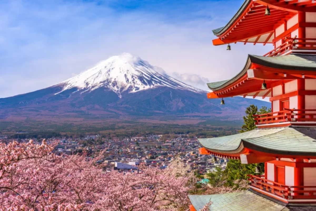
Japan’s iconic volcano rises 12,388 feet and consists of three distinct volcanic layers verified through geological surveys. Seismological studies have recorded over 4,000 minor earthquakes annually around its base.
Carbon dating of organic materials has confirmed its last eruption occurred in 1707. The mountain’s symmetrical cone shape resulted from regular volcanic activity over 100,000 years, as documented in geological records.
Mount Ararat, Turkey
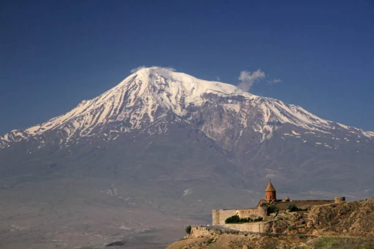
Standing at 16,854 feet, this dormant volcano contains glaciers that have been monitored since 1958. Geological studies confirm its formation through multiple volcanic episodes spanning several million years.
Archaeological excavations in the surrounding region have documented human settlements dating back to 13,000 BCE. Satellite imagery has tracked significant glacial retreat over the past 50 years.
Like Travel Pug’s content? Follow us on MSN.
Mount Kilauea, Hawaii
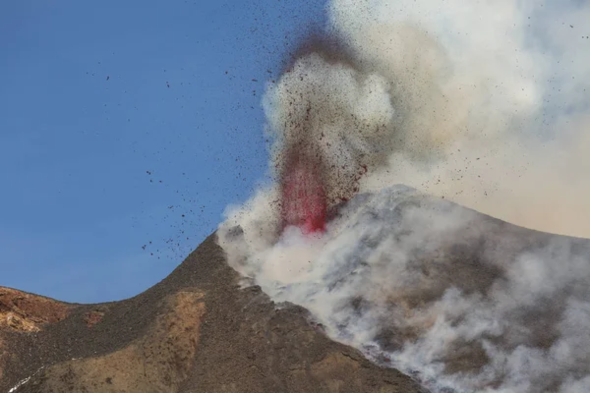
This active shield volcano has been continuously erupting since 1983, providing extensive data on volcanic processes. Scientific monitoring has recorded over 2.5 million earthquakes associated with its activity.
Geological surveys have mapped lava flows covering 48 square miles of land. Studies published in the Journal of Volcanology confirm it’s one of Earth’s most active volcanoes.
Mount Erebus, Antarctica
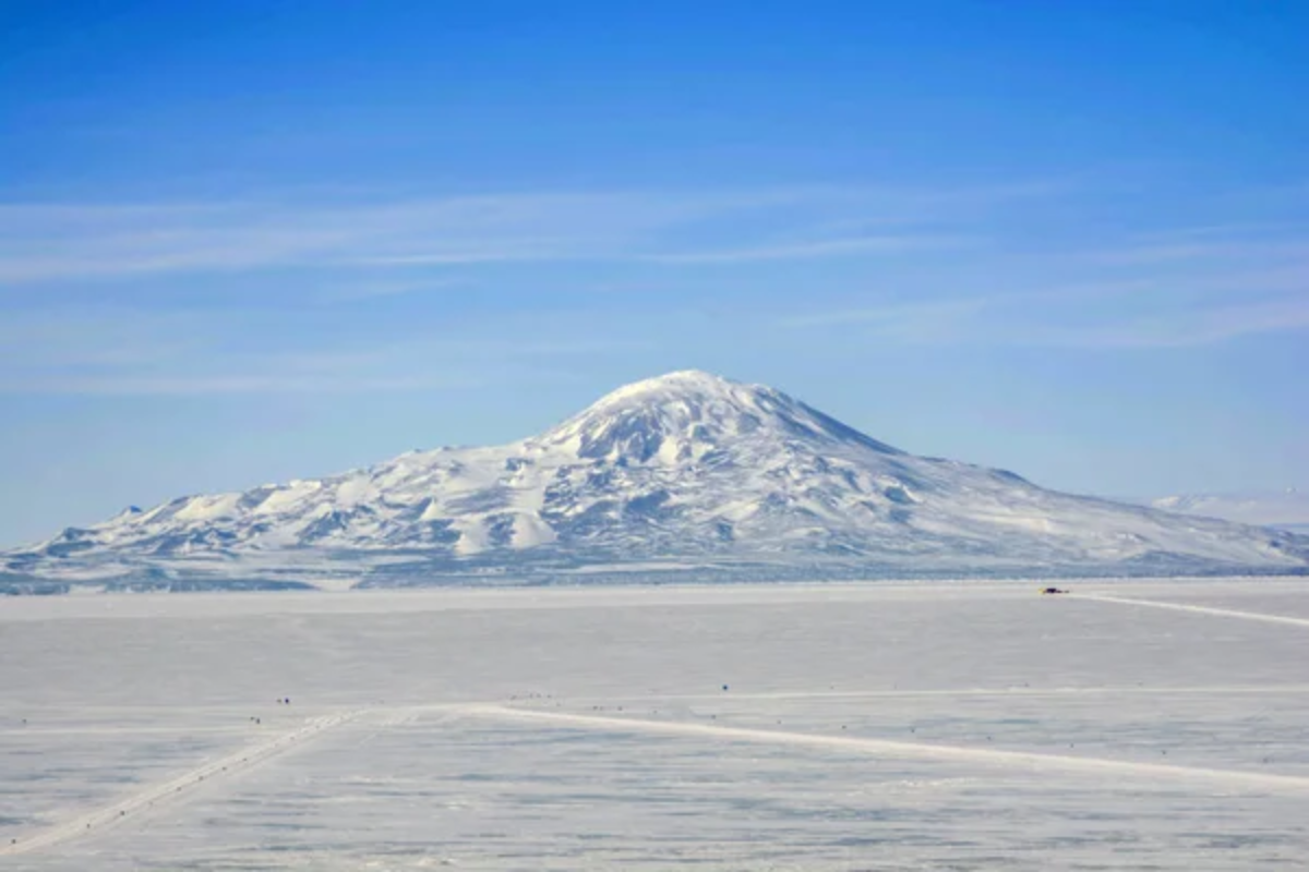
Antarctica’s most active volcano contains a rare persistent lava lake, which has been documented since 1972. Scientific studies have recorded continuous gas emissions, providing data about the Earth’s interior.
The volcano maintains a consistent temperature of 1,700°F in its lava lake, verified by thermal imaging. Geological research has confirmed unique mineral formations in its ice caves.
Mount St. Helens, USA
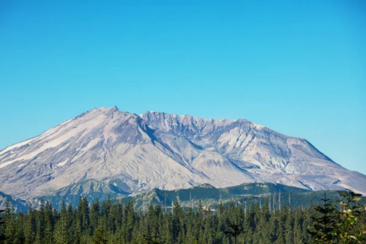
The 1980 eruption reduced its height by 1,314 feet, providing unprecedented data on volcanic destruction. Since 2004, geological surveys have documented the formation of a new lava dome.
Scientific monitoring has recorded over 10,000 earthquakes during its active periods. Studies have confirmed the regrowth of vegetation in specific patterns, contributing to ecological succession research.
Like Travel Pug’s content? Follow us on MSN.
Mount Etna, Italy
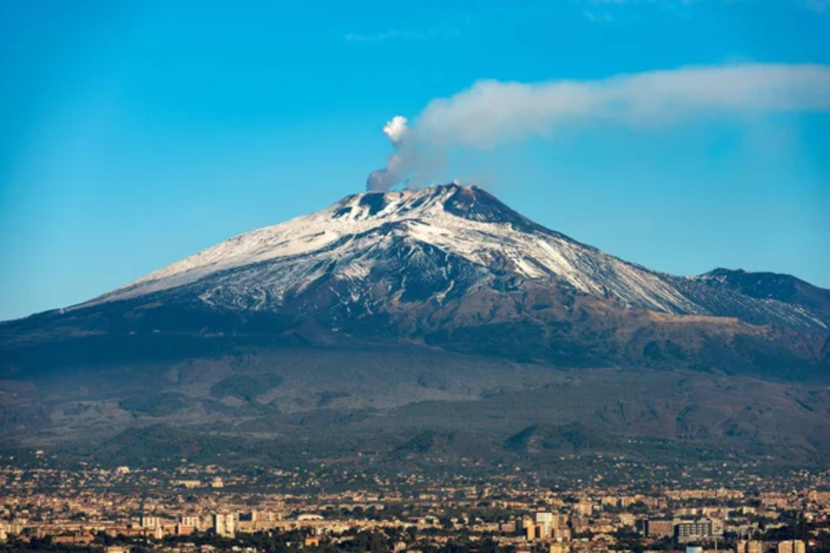
Satellite measurements have verified that Europe’s largest active volcano has grown 100 feet in height since 2021. Archaeological evidence dates human observation of its activity back 2,700 years.
Scientific monitoring has recorded over 200 parasitic cones on its flanks. Studies published in Nature have documented unique mineral formations created during eruptions.
Mount Olympus, Greece
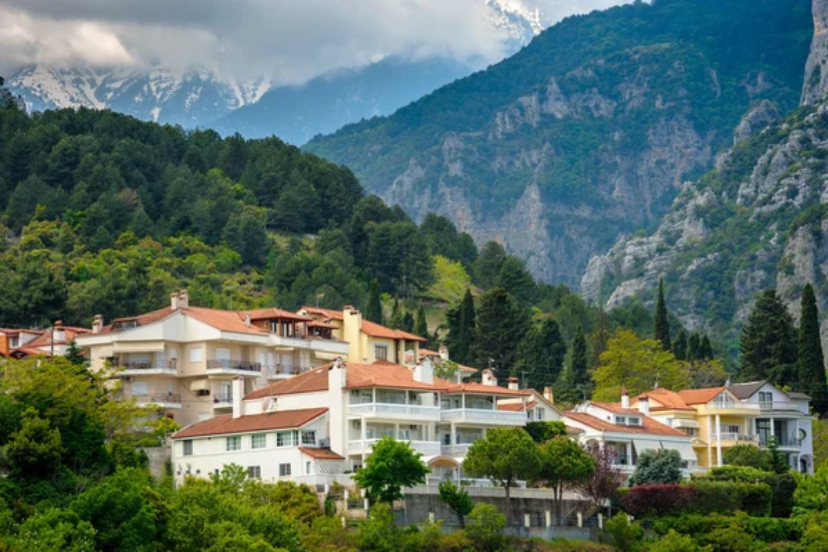
Geological studies confirm that the mountain rose 9,570 feet 12 million years ago through tectonic uplift. Archaeological excavations have uncovered human settlements dating back to 3,000 BCE.
The mountain contains unique limestone formations documented in geological surveys. Weather station data shows that it receives Greece’s highest annual precipitation.
Mount Denali, USA
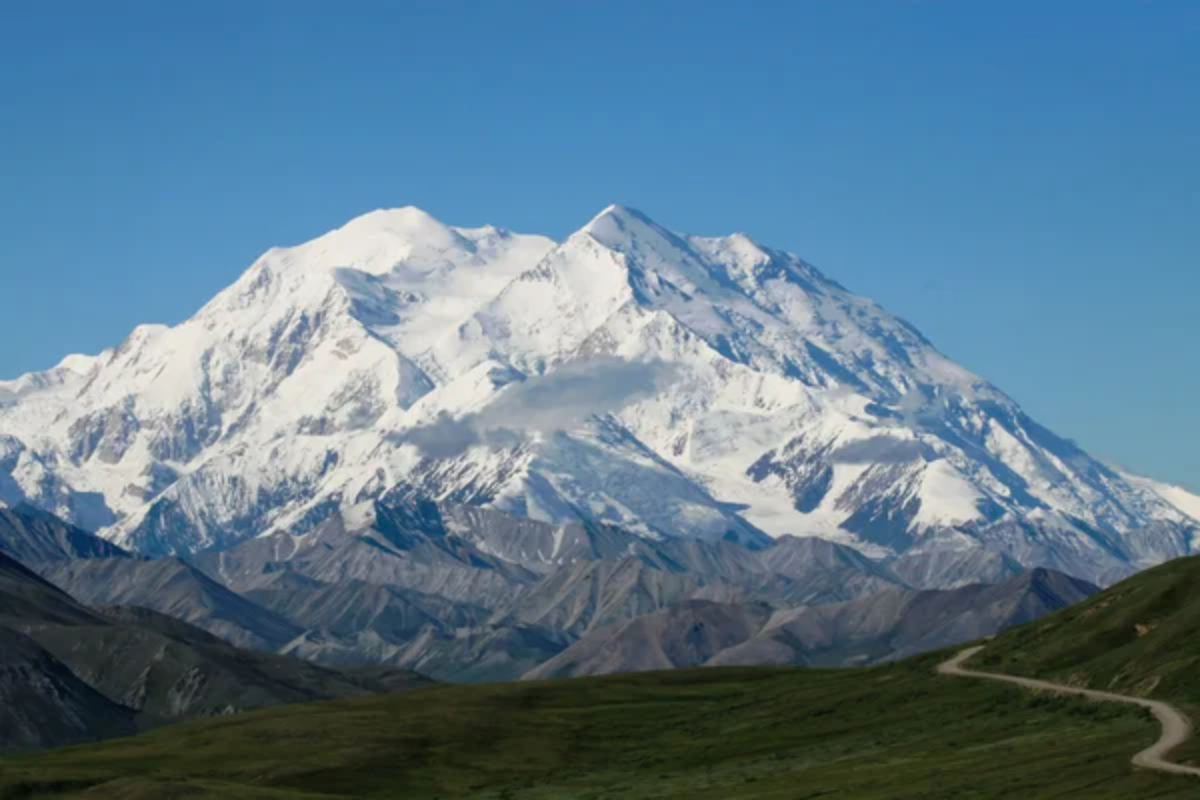
Due to tectonic activity, North America’s highest peak grows approximately 1 millimeter annually. Geological studies have confirmed its composition, which includes rocks dating back 400 million years.
Scientific surveys have documented the mountain’s unique weather patterns, which create temperatures as low as -118°F. Research has mapped over 40 glaciers on its slopes.
Like Travel Pug’s content? Follow us on MSN.
Mount Aconcagua, Argentina
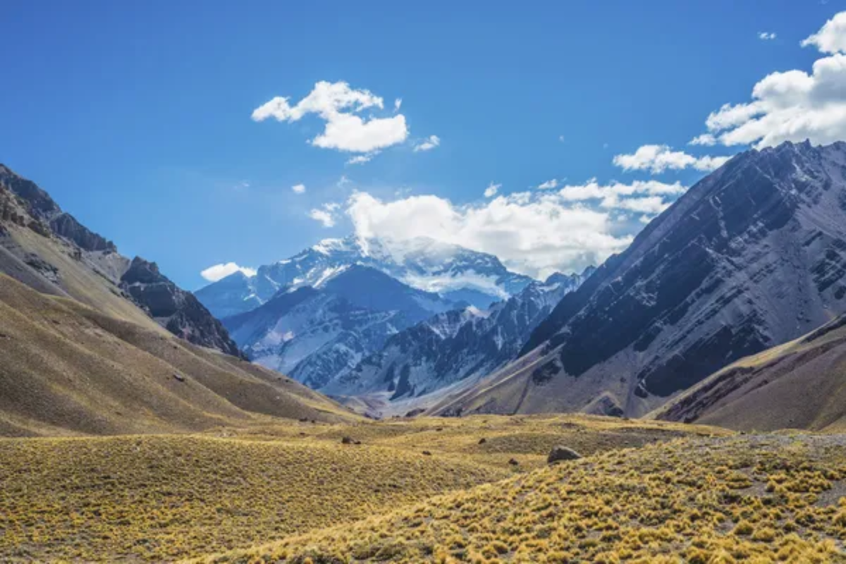
The Western Hemisphere’s highest peak, at 22,841 feet, contains geological evidence of its marine origin. Scientific studies have documented unique high-altitude plant species surviving above 14,000 feet.
Geological surveys have mapped its complex structure formed through tectonic uplift. Research has confirmed the presence of permafrost at various elevations.
Mount Krakatoa, Indonesia
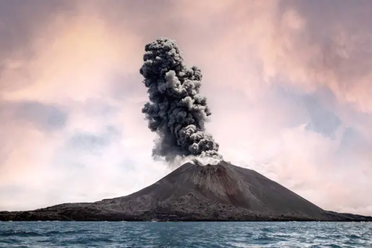
The 1883 eruption, one of the largest recorded, provided crucial data about volcanic impacts on global climate. Geological studies have documented the emergence of a new volcanic island since 1927.
Scientific monitoring has recorded continuous seismic activity in the region. Research confirms its eruption produced the loudest sound in recorded history, measured at 172 decibels 100 miles away.
Mount Hood, USA
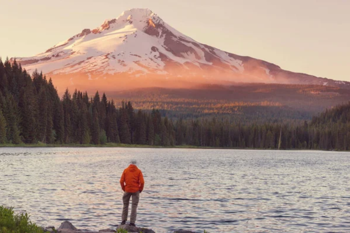
Geological evidence has documented this stratovolcano’s activity for 500,000 years. Scientific monitoring has recorded periodic earthquake swarms indicating magmatic activity.
Studies have confirmed the presence of eleven active glaciers on its slopes. Research published in geological journals has mapped its complex hydrothermal system.
Like Travel Pug’s content? Follow us on MSN.
Mount Tambora, Indonesia
Geological studies have verified that the 1815 eruption ejected 38 cubic miles of material. Scientific research has confirmed its impact on global temperatures, causing the “Year Without a Summer.”
Archaeological excavations have uncovered preserved settlements from the eruption. Studies have documented the volcano’s continuing influence on regional climate patterns.
Mount Rainier, USA
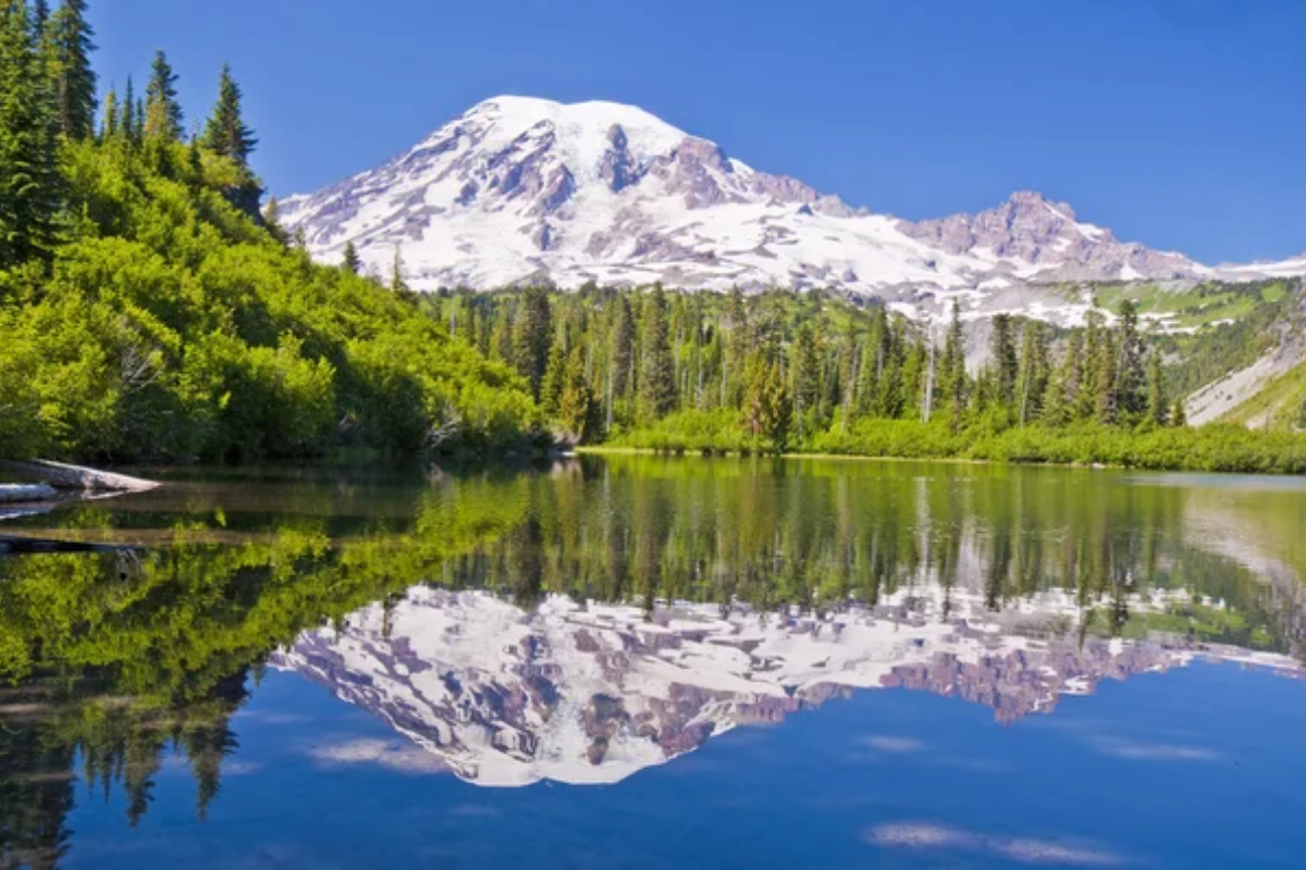
Geological surveys have verified that this active volcano contains the most glaciated peak in the contiguous United States. Scientific monitoring has documented periodic debris flows and glacial outburst floods.
Research has confirmed the presence of an active hydrothermal system beneath its summit. Studies have mapped potential hazard zones based on past volcanic activity.
Mount Damavand, Iran

The highest volcano in Asia, at 18,406 feet, contains unique mineral deposits that geologists have studied. Scientific research has documented its formation through multiple volcanic episodes.
Studies have confirmed the presence of hot springs containing rare mineral compositions. Geological surveys have mapped its complex system of fumaroles and vents.
Like Travel Pug’s content? Follow us on MSN.
Advancing Understanding
Modern scientific methods continue revealing new aspects of these mountains through verifiable research and data collection. Technological advancements in monitoring systems, dating techniques, and imaging capabilities provide increasingly detailed information about their formation and ongoing processes.
While many questions remain, a systematic study of these peaks contributes valuable data to our understanding of Earth’s geological processes. Continued research on these mountains helps advance multiple scientific fields, from geology to climatology, demonstrating their importance as natural laboratories for Earth science.
More from Travel Pug

- 20 Towns Built for One Purpose That Were Later Abandoned
- 15 Hidden Spots in Disney World’s Magic Kingdom Most Visitors Miss
- 15 Most Scenic Walks Anywhere in The World
- 15 Canyons in the U.S. That Are Just as Stunning as the Grand Canyon
- 10 Under-the-Radar Mountain Towns That Are Both Affordable and Beautiful
Like Travel Pug’s content? Follow us on MSN.