Mountain passes are some of the most stunning but demanding roads in North America, cutting across high mountains and providing vistas that appear inaccessible. These mountain roads become winter playgrounds for snow and ice. They become impassable walls that even the hardest-driving motorists cannot overcome. Once spring arrives and snowplows finally open up the roads, however, these roads unfurl like concealed jewels, unearthing landscapes that have been hidden for months.
The fact that these passes are seasonal generates an unusual sense of urgency for tourists as well as locals. These are 20 mountain passes that are closed in winter months but open their gates when the warmth of summer thaws out the blockade.
Trail Ridge Road, Colorado

Trail Ridge Road in Rocky Mountain National Park reaches an elevation of 12,183 feet, making it one of the highest paved roads in North America. The road typically closes from mid-October through late May, since snow accumulations can reach depths of 20 feet or more in some sections.
When it reopens, drivers get access to alpine tundra and wildlife viewing opportunities that simply don’t exist anywhere else at such accessible elevations.
Going-to-the-Sun Road, Montana

This park engineering wonder twists 50 miles through the nation’s most untouched wilderness. Snowplow crews labor for months every spring, in some cases not finishing the complete opening until late July or early August.
Winter driving is impossible due to the road’s limited width and steep grades, but summer travelers are treated to glacial lake vistas and mountain goat views that appear to step out of a photo opportunity.
Like Travel Pug’s content? Follow us on MSN.
Tioga Pass, California

Tioga Pass serves as the eastern entrance to Yosemite National Park, climbing to 9,943 feet through the Sierra Nevada mountains. Heavy snowfall typically keeps this route closed from November through May, sometimes longer during particularly snowy winters.
The pass provides access to some of California’s most spectacular high-country lakes and granite domes that look like nature’s own sculpture garden.
Independence Pass, Colorado
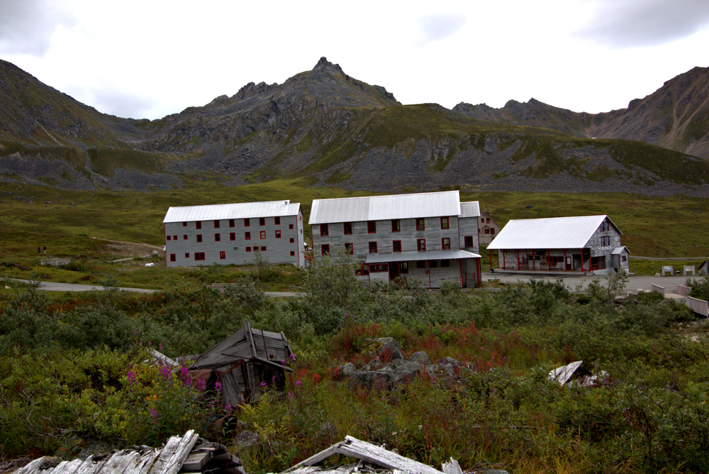
State Highway 82 over Independence Pass tops out at 12,095 feet, linking Aspen to the Arkansas River Valley. It closes in mid-November and doesn’t open again until late May, weather permitting.
This route provides some of the most spectacular alpine landscapes in Colorado, vistas that leave even seasoned mountain dwellers pulling over to take photos.
Beartooth Highway, Montana, and Wyoming

The Beartooth Highway climbs to 10,947 feet and is often called one of the most beautiful drives in America by travel magazines. Snow can linger on this route well into June, sometimes keeping portions closed until July.
The highway passes dozens of alpine lakes while providing access to the Absaroka-Beartooth Wilderness, where the landscape looks more like Alaska than the lower 48 states.
Like Travel Pug’s content? Follow us on MSN.
Mount Evans Road, Colorado
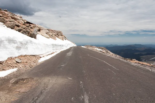
Mount Evans Scenic Byway climbs to 14,130 feet, making it the highest paved road in North America. The road typically opens in stages during late spring and early summer, though the final stretch to the summit often isn’t accessible until late June.
Driving to the top feels like taking an elevator to the clouds, with views stretching across multiple states on clear days.
Pikes Peak Highway, Colorado
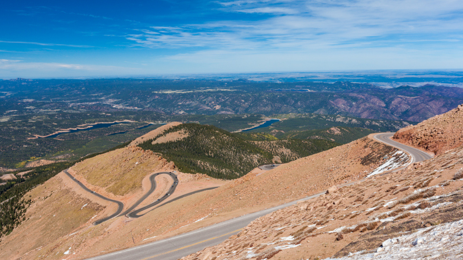
The Pikes Peak Highway winds 19 miles to the summit at 14,115 feet — inspiring the song ‘America the Beautiful.’ Winter conditions make the upper portions of this road extremely dangerous, so it typically closes above the halfway point from late fall through early summer.
The road’s reopening marks the beginning of tourist season in the Colorado Springs area, bringing thousands of visitors to experience the view that inspired Katharine Lee Bates’ famous lyrics.
Guanella Pass, Colorado

Guanella Pass connects Georgetown with Grant at an elevation of 11,669 feet through some of Colorado’s most accessible alpine terrain. The pass usually closes from late November through May, though the exact timing depends on snowpack conditions.
This route offers excellent wildlife viewing opportunities, particularly for mountain goats and bighorn sheep that seem almost tame compared to their wilderness cousins.
Like Travel Pug’s content? Follow us on MSN.
Loveland Pass, Colorado
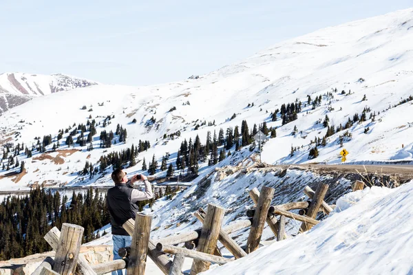
Loveland Pass sits at 11,990 feet on the Continental Divide, serving as a backup route when the Eisenhower Tunnel experiences problems. While the tunnel stays open year-round, the pass itself becomes impassable during winter months due to extreme weather conditions.
The pass provides access to some of Colorado’s best backcountry skiing areas while offering views that make the winding drive worthwhile.
Cottonwood Pass, Colorado
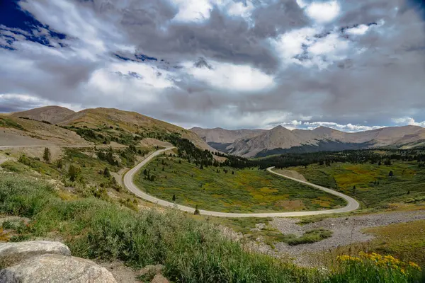
Cottonwood Pass climbs to 12,126 feet, connecting Buena Vista with Taylor Park in the Sawatch Range. The road typically remains closed from mid-November through late May, when snow depths can exceed 15 feet near the summit.
This route provides access to some of Colorado’s highest peaks and offers fishing opportunities in high-altitude lakes that seem to glow with an otherworldly blue color.
Mosquito Pass, Colorado
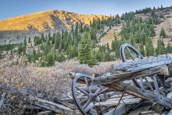
Mosquito Pass holds the distinction of being the highest pass in the United States accessible by passenger car, reaching an elevation of 13,186 feet. The road closes during winter months and often doesn’t fully reopen until July due to its extreme elevation.
The pass connects Leadville with Fairplay through terrain that feels more like the surface of another planet than anything terrestrial.
Like Travel Pug’s content? Follow us on MSN.
Imogene Pass, Colorado
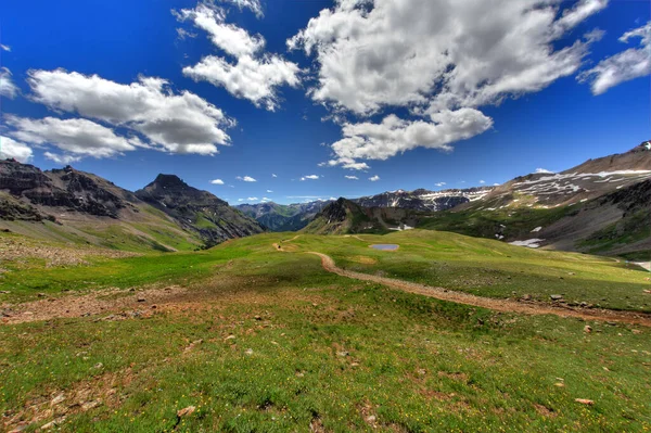
Imogene Pass reaches 13,114 feet between Ouray and Telluride, requiring four-wheel drive vehicles even during summer months. Winter snowfall makes this already challenging route completely impossible, keeping it closed from October through June in most years.
The pass follows old mining roads that seem to hang impossibly on cliff faces, though it offers views that combine beauty with a healthy dose of adrenaline.
Engineer Pass, Colorado
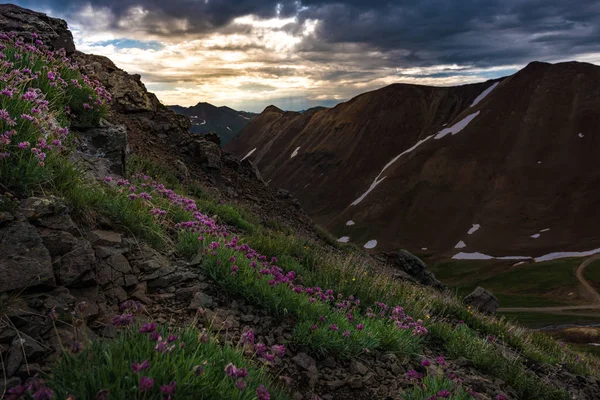
Engineer Pass sits at 12,800 feet in the San Juan Mountains, connecting Lake City with Ouray through some of Colorado’s most rugged terrain. The pass typically remains closed from October through June since snow and ice create conditions that would challenge even experienced mountain drivers.
This route passes through ghost towns and mining ruins that tell the story of Colorado’s silver boom days.
Cinnamon Pass, Colorado
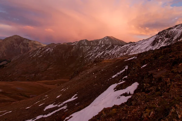
Cinnamon Pass climbs to 12,640 feet through the heart of the San Juan Mountains, requiring high-clearance vehicles even during optimal conditions. Winter weather keeps this pass closed for at least six months each year, sometimes longer during heavy snow years.
The route provides access to some of Colorado’s most remote wilderness areas while offering wildflower displays that carpet entire mountainsides during peak summer months.
Like Travel Pug’s content? Follow us on MSN.
Ophir Pass, Colorado
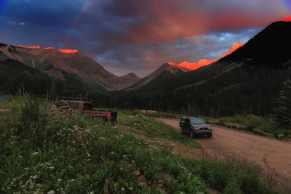
Ophir Pass reaches 11,789 feet between Ouray and Silverton, following routes originally established by miners in the 1800s. The pass closes during the winter months due to avalanche danger and snow accumulations that can completely bury the road.
Summer travelers on this route experience some of the most dramatic mountain scenery in the lower 48 states, featuring waterfalls and alpine meadows that resemble something from a fairy tale.
Black Bear Pass, Colorado
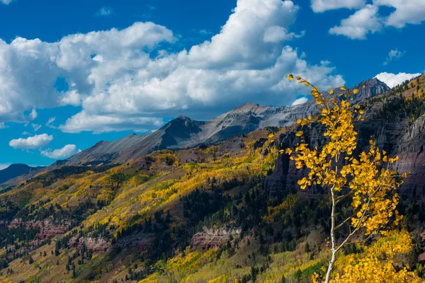
Black Bear Pass climbs to 12,840 feet through terrain so challenging that many consider it one of the most difficult drives in America. Winter conditions make this already extreme route impossible, keeping it closed from October through June.
The pass requires not just four-wheel drive but also nerves of steel since the road seems to defy gravity while clinging to nearly vertical cliff faces.
Cascade Canyon Road, Wyoming
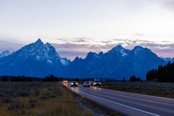
Cascade Canyon Road in Grand Teton National Park provides access to some of the most spectacular mountain scenery in the American West. Heavy snowfall keeps this route closed from November through May, sometimes longer depending on winter conditions.
When the road reopens, visitors gain access to hiking trails that lead directly to the base of the Teton Range, where peaks rise dramatically from the valley floor.
Like Travel Pug’s content? Follow us on MSN.
Chinook Pass, Washington
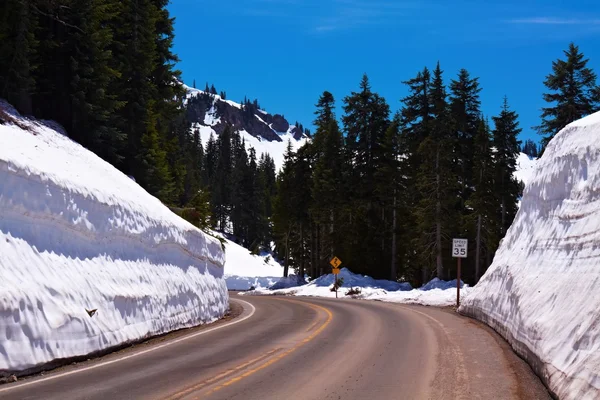
Chinook Pass sits at 5,432 feet on State Route 410, connecting the Puget Sound region with eastern Washington through Mount Rainier National Park. Pacific Northwest snowfall keeps this pass closed from November through May in most years.
The route provides stunning views of Mount Rainier while offering access to alpine meadows that explode with wildflowers during the brief mountain summer.
Stevens Pass, Washington
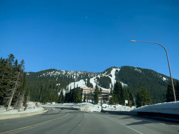
Stevens Pass reaches 4,061 feet on Highway 2, serving as a vital link between Seattle and eastern Washington. While the highway itself remains open year-round, many scenic side roads and recreational areas close during the winter months due to extreme snow conditions.
The pass area receives some of the heaviest snowfall in the continental United States, creating winter conditions that last well into spring.
Mount Washington Auto Road, New Hampshire
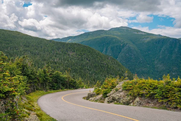
Mount Washington Auto Road climbs to 6,288 feet through New England’s most challenging mountain environment. The road typically closes during the winter months due to extreme weather conditions, which can include hurricane-force winds and temperatures well below zero.
This route offers the chance to drive to the summit of the Northeast’s highest peak, where weather conditions can change from pleasant to life-threatening in minutes.
Like Travel Pug’s content? Follow us on MSN.
Where Winter Roads Meet Summer Dreams
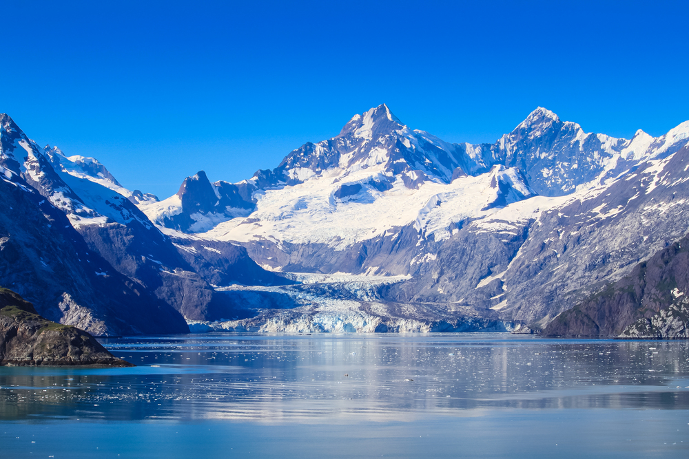
These seasonal closures remind us that some of nature’s greatest treasures remain locked away for much of the year, accessible only when conditions align perfectly with human ambition. The annual ritual of road openings creates a calendar that mountain communities live by, marking the transition from isolation to connection with the outside world.
Each pass represents a victory of engineering over geography, allowing ordinary vehicles to reach elevations that challenge even experienced climbers. When summer arrives, and these routes reopen, though, they offer a temporary window into landscapes that feel both ancient and impossibly remote, connecting us to wilderness areas that remain largely unchanged despite our modern intrusion.
More from Travel Pug

- 20 Best Beach Towns in the Carolinas
- 13 Destinations Where Tourists Regularly Regret Their Trip
- 20 Things You Actually Get in First Class
- 20 Small Airports With Aviation Museums
- 20 Places in the U.S. That Are Perfect for a Reset Trip
Like Travel Pug’s content? Follow us on MSN.
