
Desert highways cut through some of Earth’s most extreme landscapes, crossing vast expanses of sand, salt, and stone where human presence feels temporary and fragile. These remote routes challenge both vehicles and drivers with intense heat, limited services, and otherworldly isolation. Yet they also offer an unmatched sense of adventure and solitude that draws travelers seeking to experience true wilderness.
Here is a list of 20 remarkable desert highways that epitomize the allure of driving through Earth’s most isolated landscapes, where you might drive for hours without seeing another vehicle.
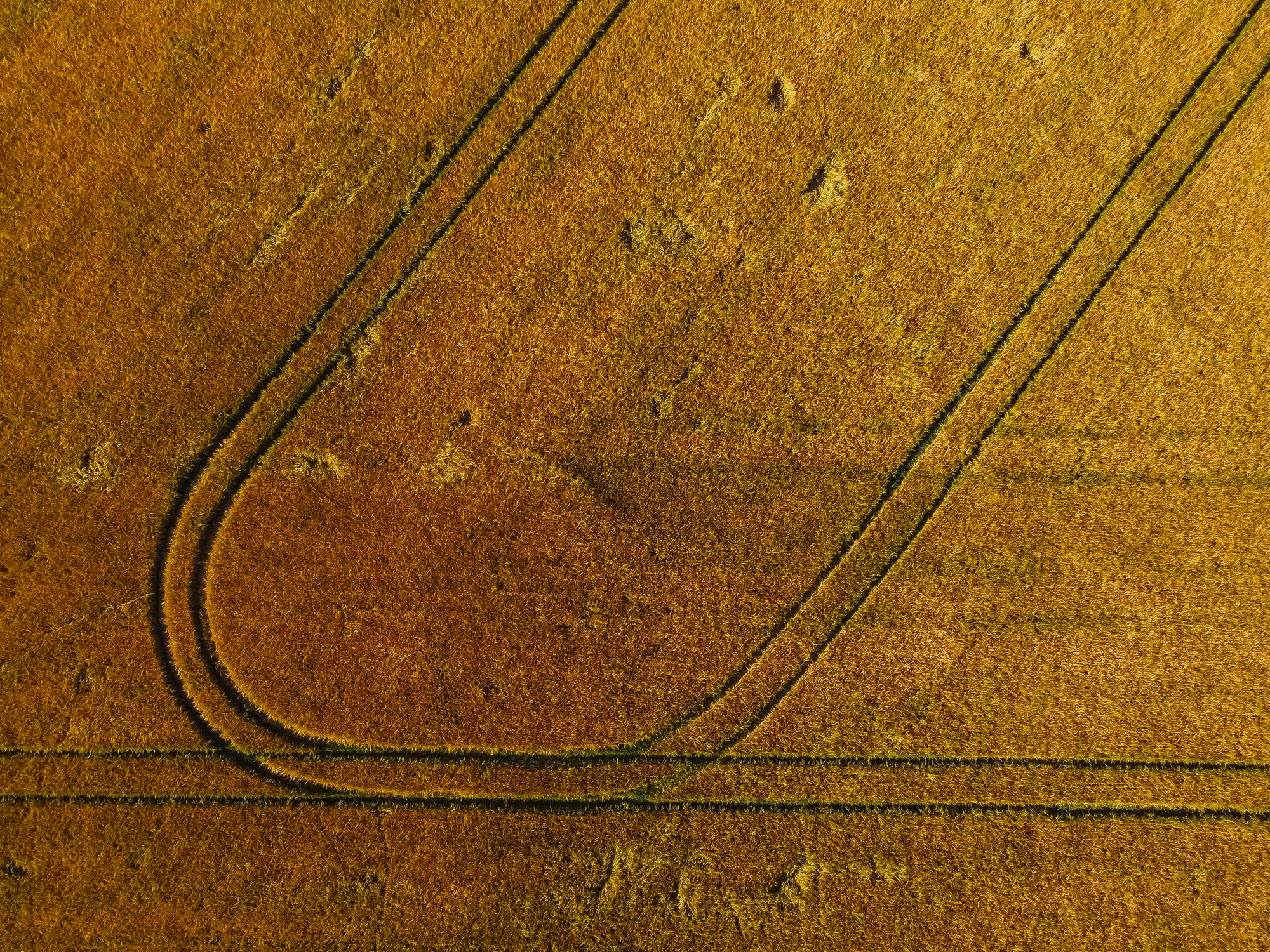
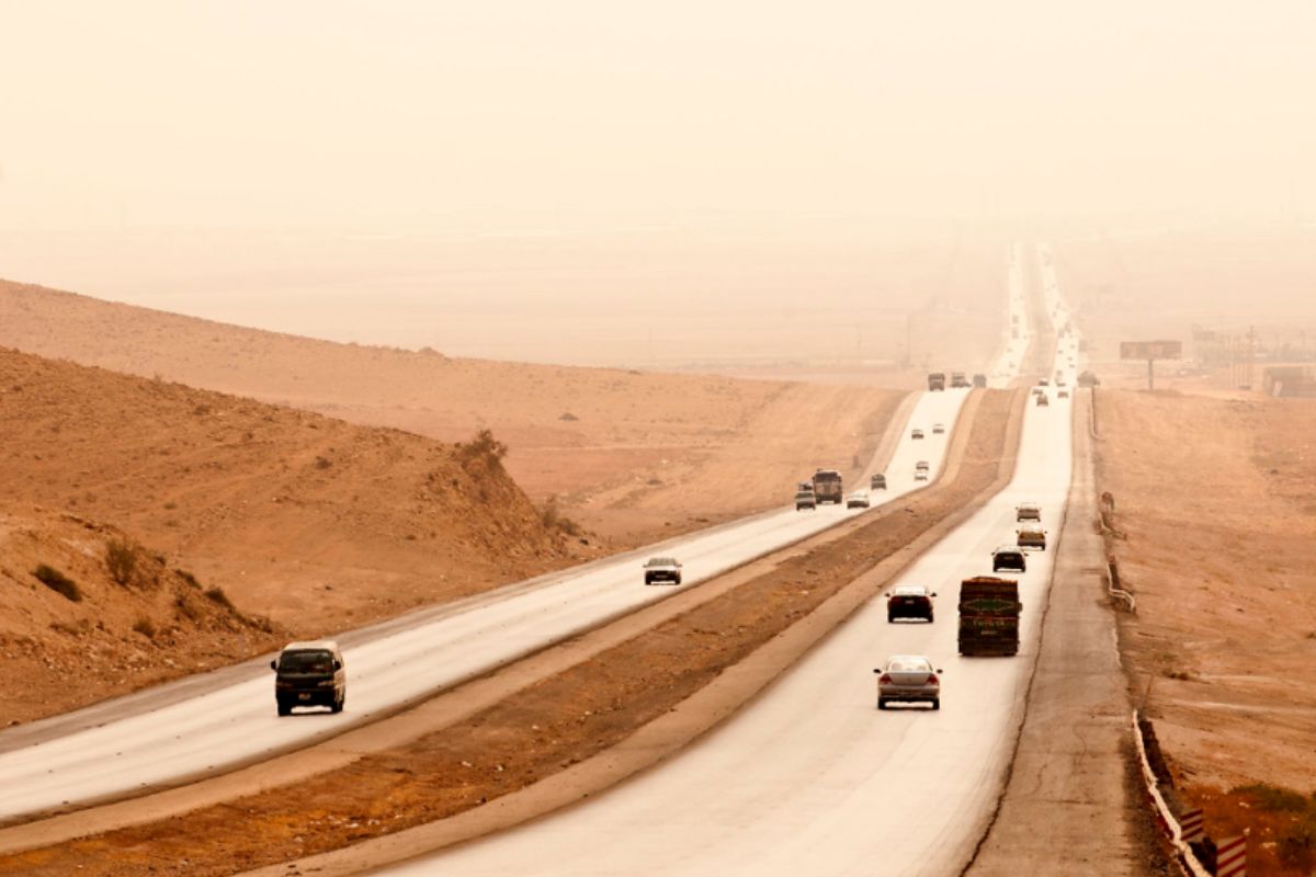
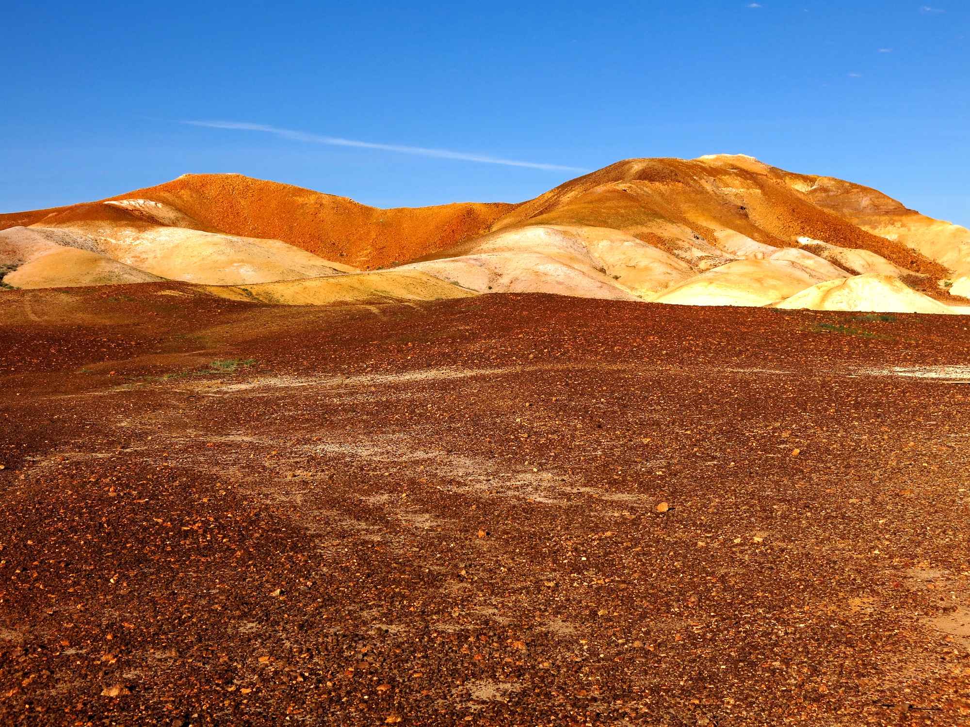
Rub al Khali Highway

This remote road crosses Saudi Arabia’s Empty Quarter, the world’s largest continuous sand desert. The 1,000-mile route passes through endless waves of red and orange dunes that can reach heights of 800 feet.
Special crews work constantly to keep the highway clear of drifting sand, fighting an endless battle against the desert winds. Drivers must carry extensive emergency supplies as service stations can be more than 200 miles apart.
The highway features unique ribbed pavement designed to prevent sand accumulation and maintain traction.
Tanami Track
Australia’s most isolated desert road stretches 648 miles through the heart of the Tanami Desert between Alice Springs and Halls Creek. The unpaved track passes through Aboriginal lands, where sacred sites have been preserved for thousands of years.
Travelers must register their journey with local authorities due to the extreme remoteness and challenging conditions. The route features distinctive termite mounds that rise like ancient monuments from the red earth.
Summer temperatures regularly exceed 120 degrees Fahrenheit, requiring vehicles to carry additional cooling equipment.
Avenue of the Lost
This desolate Peruvian highway connects the coastal desert to the Andes through 311 miles of the driest desert on Earth. Some weather stations along the route have never recorded rainfall in over 50 years of operation.
The road passes through ancient geoglyphs carved into the desert floor by pre-Incan civilizations. Natural formations along the route create strange acoustic effects that gave rise to local legends about lost travelers.
The highway includes emergency shelters built to protect drivers from sudden sandstorms.
Trans-Sahara Highway
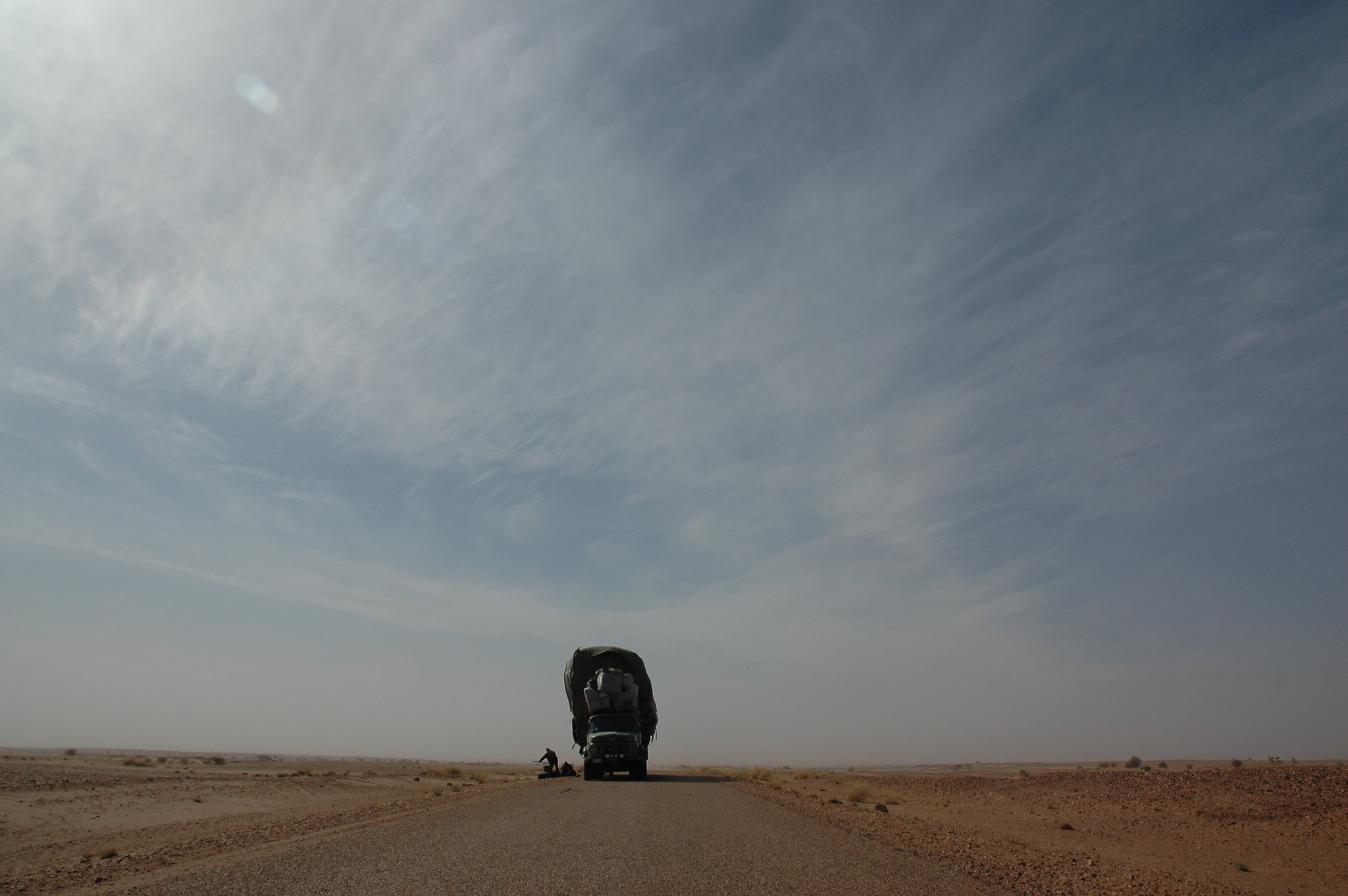
This ambitious route spans 2,800 miles across the Sahara Desert, connecting Algeria to Nigeria. The highway passes through regions that regularly experience sandstorms, which are capable of reducing visibility to zero.
Local guides mark the route with black oil drums to help drivers stay on course when the road disappears under drifting sand. The journey requires extensive paperwork and permits to cross multiple border checkpoints in remote desert locations.
Weeks can pass between maintenance visits to the most isolated sections of the highway.
Skeleton Coast Road
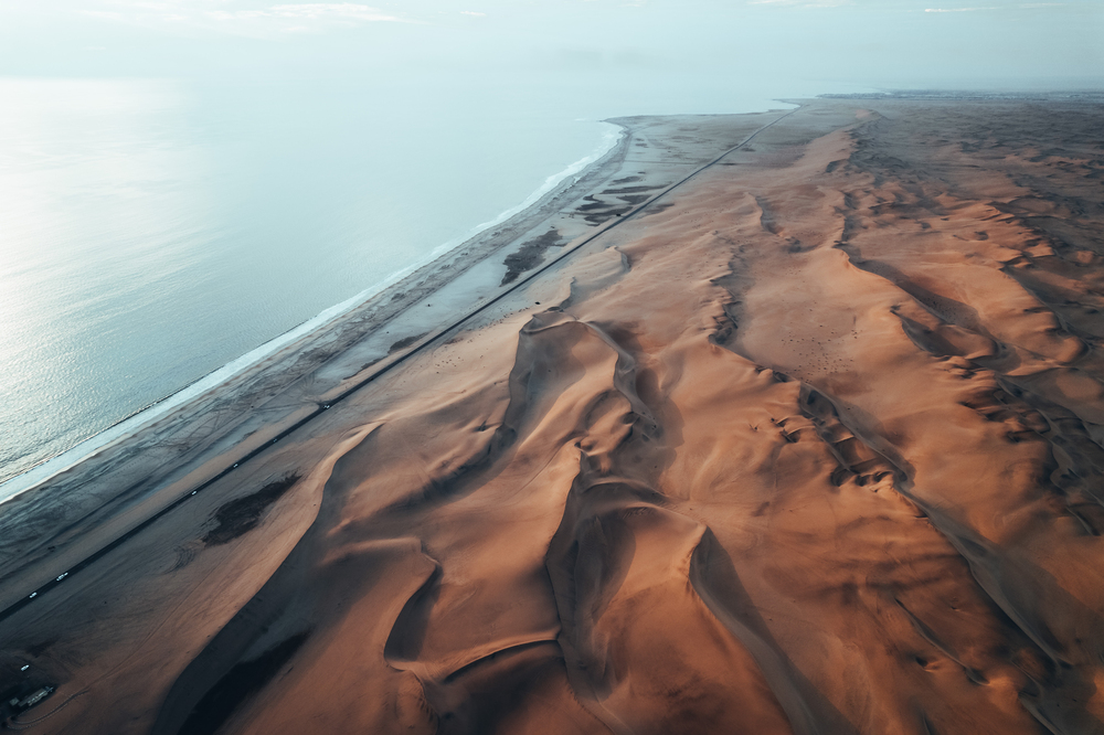
Namibia’s haunting coastal highway runs 310 miles along the Atlantic coast through endless sand and salt pans. The route passes numerous shipwrecks that gave the coast its ominous name, preserved by the desert climate.
Morning fog from the cold ocean current creates surreal driving conditions as it rolls across the desert landscape. The road requires special permits and must be driven during daylight hours due to the presence of wild animals.
Local diamond mining operations maintain sections of the highway, though public access remains strictly controlled.
Highway 50

Nevada’s ‘Loneliest Road in America’ crosses 287 miles of Great Basin Desert between Ely and Fernley. The route follows the historic Pony Express trail through vast expanses of sagebrush and ancient lake beds.
Mountain ranges rise like islands from the desert floor, creating dramatic backdrops for the empty highway. The road passes through old mining towns where boom-time populations of thousands have dwindled to dozens.
Service stations along the route offer tongue-in-cheek ‘survival certificates’ to travelers who complete the journey.
Lhasa Desert Highway
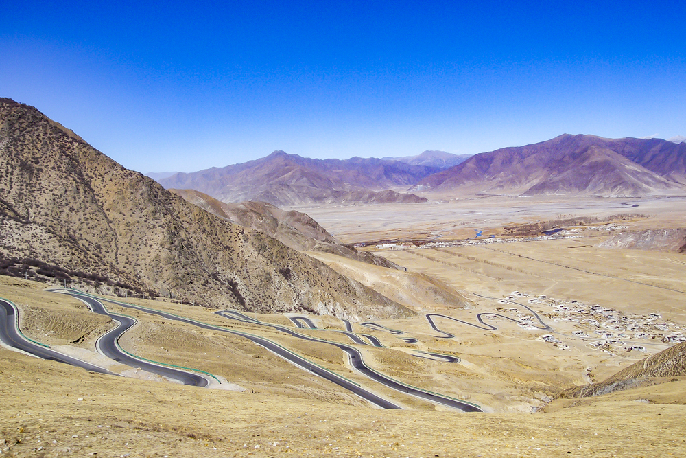
This engineering marvel crosses the Tibetan Plateau’s high-altitude desert, maintaining an average elevation above 14,000 feet. The 1,500-mile route passes through regions so remote that special oxygen supplies are recommended for emergency situations.
Engineers designed the road to withstand extreme temperature swings of up to 80 degrees Fahrenheit between day and night. The highway crosses vast salt flats where mirages regularly fool drivers into seeing nonexistent lakes.
Local maintenance crews must deal with unique challenges created by the combination of high altitude and desert conditions.
Atacama Desert Highway

Chile’s Route 5 traverses 621 miles of the world’s driest non-polar desert between Arica and Antofagasta. The highway passes through regions where decades can pass between measurable rainfall events.
Ancient geoglyphs and mining ruins along the route offer glimpses into the desert’s long human history. The road includes special refuge zones designed to protect vehicles during the desert’s rare but intense rain events. Vast mineral deposits create colorful natural formations visible from the highway.
Tarim Desert Highway
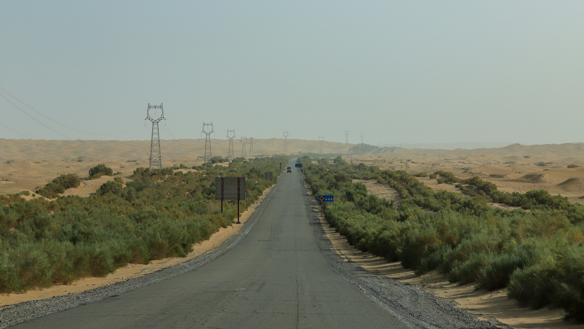
This Chinese engineering achievement crosses 342 miles of the Taklamakan Desert, whose name literally means ‘Place of No Return.’ The route features a unique system of fences and vegetation designed to prevent sand from overwhelming the roadway.
Engineers developed special asphalt mixtures to withstand summer surface temperatures that can exceed 180 degrees Fahrenheit. The highway includes emergency response stations staffed year-round due to the extreme conditions. Local camel herders still cross the highway along ancient trade routes through the desert.
Highway 95
This isolated route through Mexico’s Sonoran Desert connects San Felipe to Mexicali through 155 miles of extreme desert terrain. The highway passes through the Valley of the Giants, home to the world’s largest cactus specimens.
Summer temperatures regularly reach levels that can cause standard tires to fail without warning. The route features unique microwave relay towers that maintain communication links across the desert expanse. Residents still tell stories about gold caches hidden in the desert during various revolutionary periods.
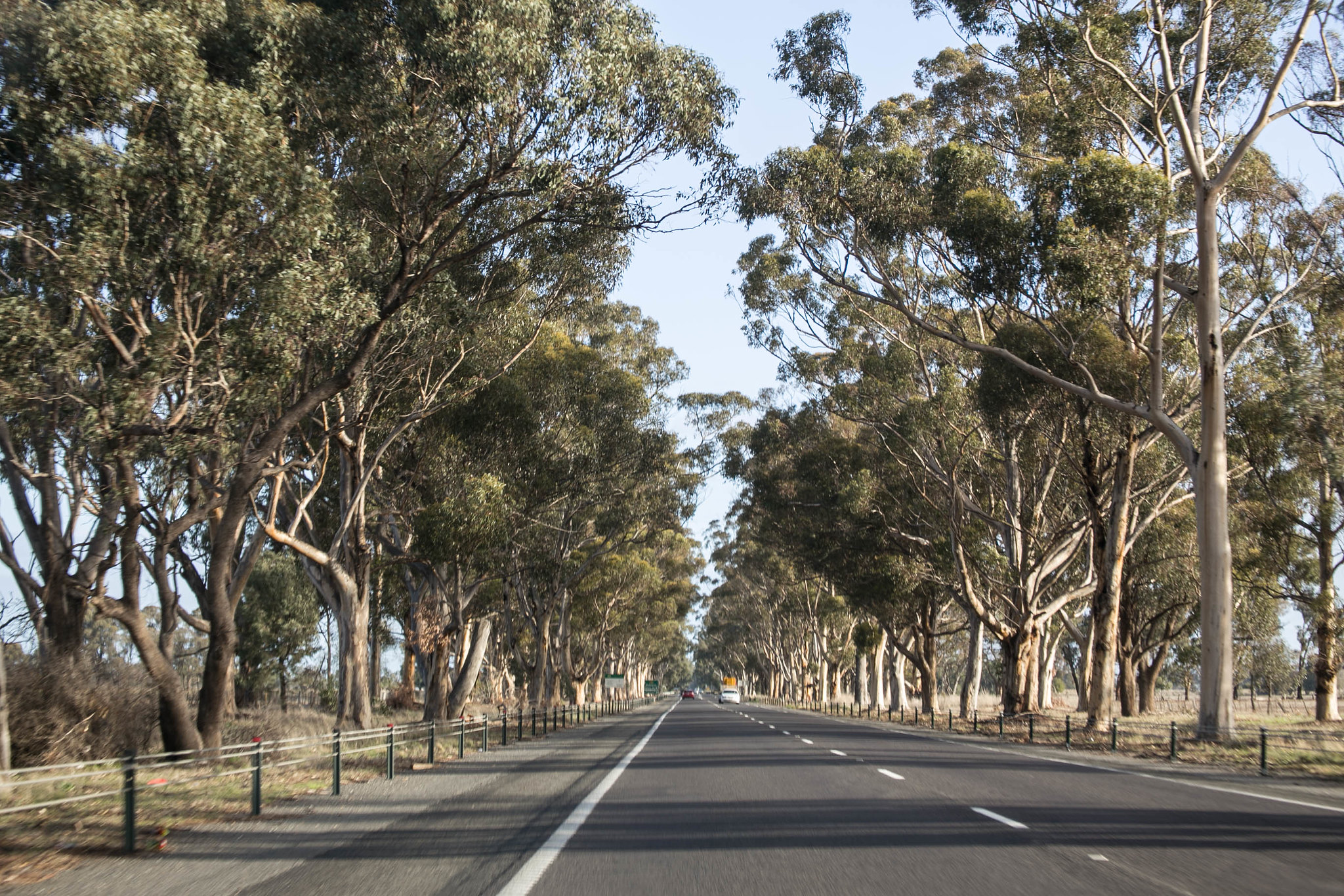
Eyre Highway
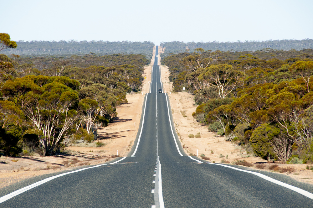
Australia’s East-West crossing spans 1,675 miles through the Nullarbor Plain, including the world’s longest straight section of highway. The route passes through regions so flat and featureless that pilots use the highway for navigation.
Emergency airstrips parallel the highway every 50 miles, dating from the region’s early aviation history. The road crosses Australia’s longest golf course, with one hole in each town along the route.
Drivers must carry extensive spare parts as repair services can be hundreds of miles apart.
Al Mafraq Desert Highway
Jordan’s main desert artery stretches 375 miles through ancient trade routes and biblical landscapes. The highway passes near crusader castles and prehistoric hunting traps visible from the air.
Special drainage systems protect the road from flash floods that can appear without warning in the desert. The route includes rest stops built to resemble traditional desert fortifications.
Local Bedouin tribes still maintain traditional grazing rights along the highway corridor.
Pan-American Highway
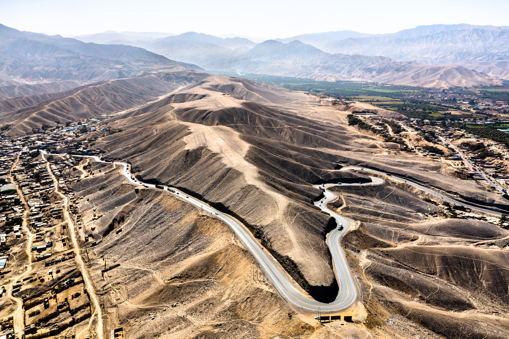
The Peruvian desert section covers 816 miles of coastal desert, passing through one of Earth’s most extreme environments. The highway traverses massive dunes that require constant maintenance to remain passable.
Ancient Nazca lines and geoglyphs appear unexpectedly alongside the modern roadway. The route includes special wind barriers designed to protect vehicles from powerful afternoon dust storms.
Local fishermen still cross the highway to reach ancient beaches that have been unchanged for millennia.
Gobi Desert Highway
This Mongolian route crosses 435 miles of desert terrain between Ulaanbaatar and the Chinese border. The highway passes through regions where traditional nomads still follow seasonal migration routes.
Special markers help drivers navigate during spring dust storms that can last for days. The road includes emergency shelters built to withstand the desert’s extreme temperature variations.
Local wildlife, including wild camels and gazelles, regularly cross the highway along ancient migration paths.
Highway 10

Saudi Arabia’s main east-west route crosses 920 miles of desert between Dammam and Jeddah. The highway features unique cooling systems built into rest stops to protect travelers from extreme temperatures.
Engineers designed special surfaces to prevent heat mirages that can confuse drivers. The route passes through regions where ancient Arabian trade routes crossed the desert for millennia.
Local petroleum operations maintain sections of the highway through the most remote areas.
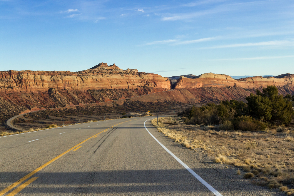
Mojave Desert Highway
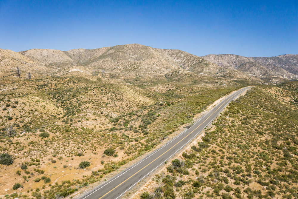
California’s Route 40 spans 155 miles through one of North America’s most extreme desert environments. The highway passes near abandoned mining towns where fortune seekers once searched for gold and silver.
Summer temperatures can cause standard automotive fluids to evaporate at an alarming rate. The route features unique warning signs about dust storms and flash floods.
Local desert tortoises sometimes mistake the warm asphalt for natural rock surfaces.
Simpson Desert Highway
This Australian track requires special permits and equipment to cross 245 miles of the world’s largest parallel dune desert. The route passes over more than a thousand red dunes, each requiring skilled navigation to cross.
Drivers must carry satellite communication equipment due to the complete absence of cellular coverage. The highway closes during summer months when temperatures make travel too dangerous.
Local aboriginal communities maintain traditional ownership of lands crossing the highway.
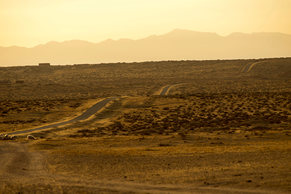
Namib Desert Highway
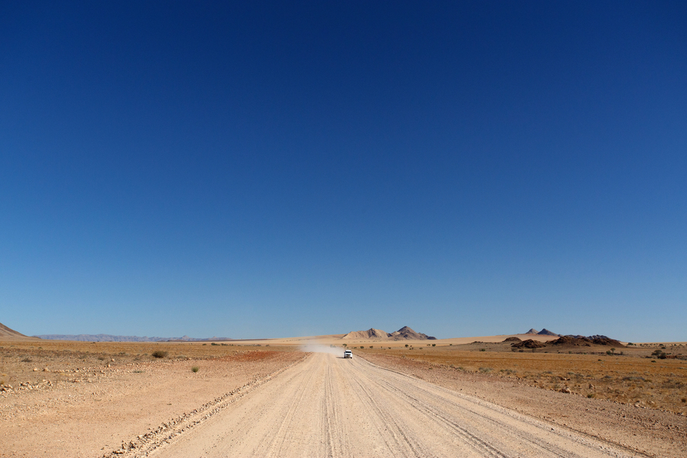
This Namibian route covers 285 miles between Windhoek and Swakopmund through Africa’s oldest desert. The highway passes through regions where desert elephants still roam across ancient migration routes.
Special maintenance crews work constantly to prevent drifting dunes from reclaiming the roadway. The route features dramatic transitions between stark desert and foggy coastal regions.
Local tour operators maintain emergency supply caches along the most isolated sections.
Thar Desert Highway

India’s Route 15 crosses 342 miles of desert terrain between Jaisalmer and Bikaner. The highway passes through regions where traditional camel caravans still transport goods between villages.
Engineers designed special barriers to protect the road from seasonal sandstorms that can last for days. The route includes rest stops built to resemble traditional desert fortresses.
Local artisans maintain workshops along the highway where ancient crafts continue unchanged.
Great Sandy Desert Track

Earth’s most isolated regions. The track passes through areas where aboriginal dreamtime stories explain the creation of the landscape.
Drivers must carry extensive emergency supplies as help can be days away in case of a breakdown. The route features unique wildlife warning signs for animals most people never see.
Local indigenous rangers monitor the highway to assist travelers in trouble.
More from Travel Pug

- 20 Towns Built for One Purpose That Were Later Abandoned
- 15 Hidden Spots in Disney World’s Magic Kingdom Most Visitors Miss
- 20 Photos of the World’s Most Beautiful Glacial Lakes
- 15 Canyons in the U.S. That Are Just as Stunning as the Grand Canyon
- 10 Under-the-Radar Mountain Towns That Are Both Affordable and Beautiful
Like Travel Pug’s content? Follow us on MSN.