
The sapphire waters of Lake Tahoe, surrounded by snow-capped peaks and verdant forests, create one of America’s most photogenic landscapes. While hiking and water activities often dominate visitor itineraries, exploring the region by car offers unparalleled access to breathtaking vistas, hidden beaches, and charming mountain communities that might otherwise go undiscovered.
Here is a list of 20 scenic drives that showcase the remarkable diversity and beauty of the Lake Tahoe region, from short lakeside routes to full-day adventures extending into the surrounding Sierra Nevada mountains.
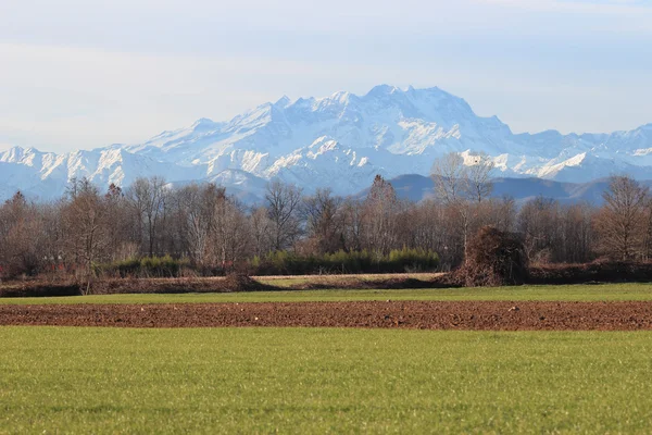
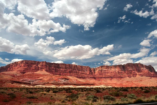
Lake Tahoe Scenic Drive (Nevada State Route 28)

This 28-mile route along the eastern shore offers some of the most iconic views of the lake’s crystal-clear waters against a backdrop of the Sierra Nevada range. The road hugs the shoreline from Incline Village to Stateline, passing highlights like Sand Harbor Beach with its massive granite boulders, the historic Thunderbird Lodge, and numerous pullouts offering frame-worthy perspectives of the lake.
At various points, the drive reaches elevations of 7,100 feet, creating dramatic panoramas where the deep blue waters seem to merge seamlessly with the sky.
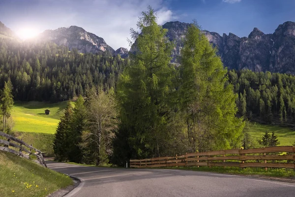
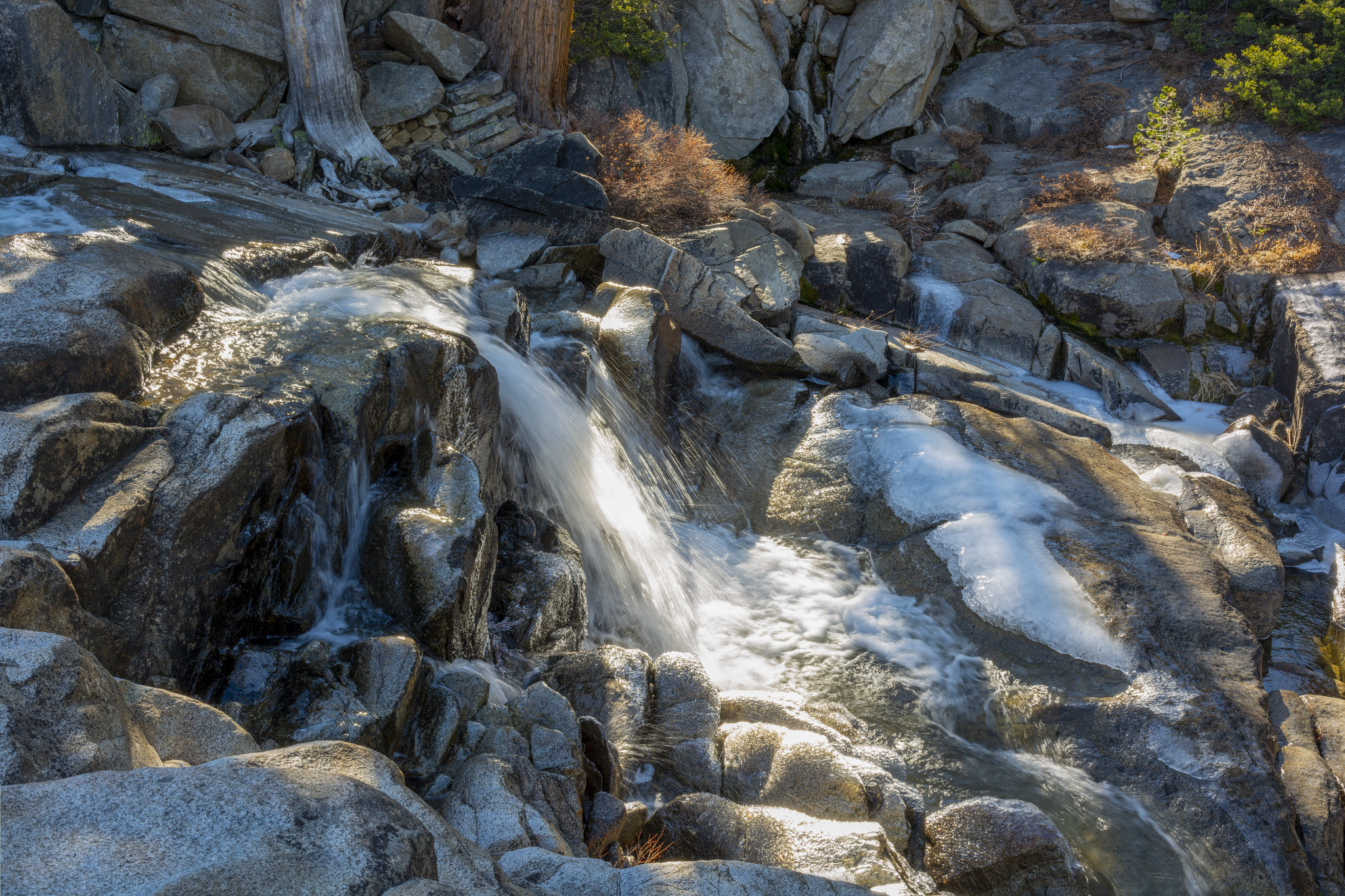
Emerald Bay Road (Highway 89)

This 10-mile stretch from South Lake Tahoe to Emerald Bay showcases what many consider the most photographed location in the entire region. The winding mountain road climbs through dense pine forests before revealing the stunning glacier-carved bay with its emerald-green waters and tiny Fannette Island at its center.
Multiple vista points along the route offer elevated perspectives of this natural wonder, while eagle-eyed drivers might spot Vikingsholm Castle nestled along the shoreline—a 1929 Nordic-inspired mansion that looks as if it were transported from a European fairy tale.
Like Travel Pug’s content? Follow us on MSN.
Mount Rose Highway (Nevada State Route 431)
This dramatic 25-mile journey from Reno to Incline Village climbs more than 4,000 feet in elevation, crossing the Mount Rose Summit at 8,911 feet—the highest year-round pass in the Sierra Nevada. The drive transitions from high desert sage to alpine forest while offering sweeping panoramas of Reno, Washoe Valley, and eventually Lake Tahoe as you descend toward the north shore.
A worthwhile detour includes the moderate hike to Mount Rose Waterfall, where a short forest trail leads to a 20-foot cascade surrounded by seasonal wildflowers and volcanic rock formations.
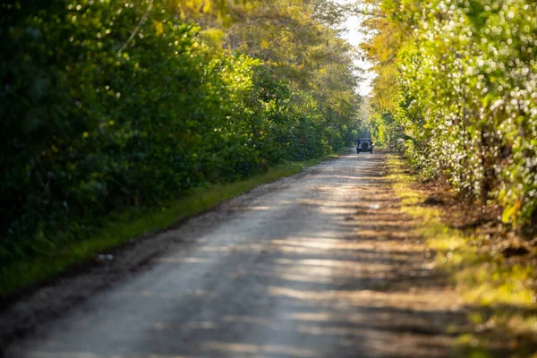
Pioneer Trail
This alternative 9-mile route parallel to Highway 50 between South Lake Tahoe and Meyers follows the historic Pony Express Trail through towering pine forests and meadows without the traffic congestion of the main highway. The peaceful road passes historic sites, including the Celio Ranch, and provides access to multiple trailheads leading into the Eldorado National Forest.
During winter months, this less-traveled route often provides access to excellent snow play areas where families build snowmen and sled down gentle slopes framed by snow-laden pine boughs.
Kingsbury Grade (Nevada State Route 207)
This engineering marvel connects the Carson Valley to South Lake Tahoe via a steep mountain pass that climbs nearly 2,500 feet in just 11 miles. The road features numerous switchbacks and turnouts, offering increasingly spectacular views of the Carson Valley below.
The transition from a high desert to an alpine environment creates a dramatic ecological showcase. As the road crests the Carson Range, drivers are rewarded with a breathtaking vista of Lake Tahoe, which appears suddenly through the trees before the final descent into the Stateline area.
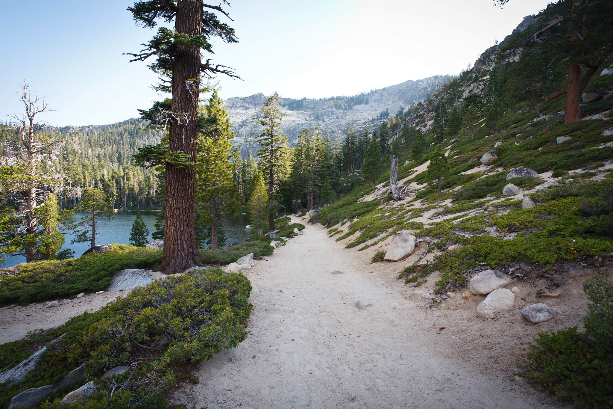
Fallen Leaf Lake Road
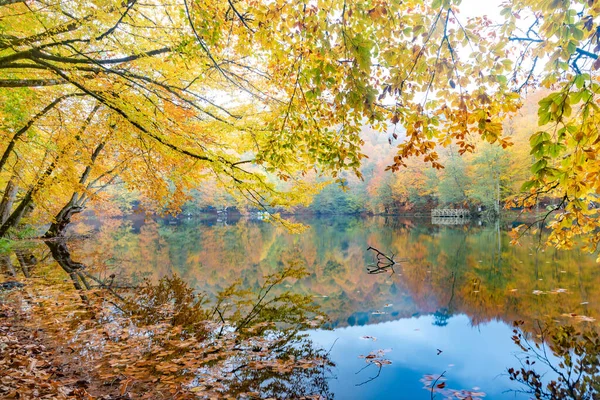
This 5-mile detour off Highway 89 leads to a pristine alpine lake nestled beneath the towering Mount Tallac, offering a quieter alternative to the main shoreline. The narrow road winds through old-growth forest before revealing views of the crystal-clear mountain lake, which reflects the surrounding peaks in its mirror-like surface.
The route passes the historic Stanford Sierra Camp and provides access to excellent hiking trails, including the pathway to Fallen Leaf Falls, a 200-foot cascade that remains refreshingly uncrowded even during peak tourist season.
Like Travel Pug’s content? Follow us on MSN.
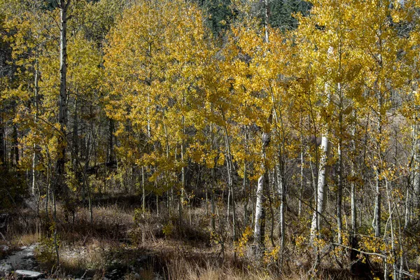
Luther Pass Road (Highway 89)
This 15-mile route connecting the south shore area to Hope Valley traverses beautiful mountain meadows and forest landscapes that transform dramatically with the seasons. In spring, the road passes through meadows carpeted with wildflowers.
At the same time, autumn brings spectacular displays of golden aspen trees that seem to glow against the backdrop of evergreen forests and granite peaks. The broad vista at Red Lake Peak viewpoint offers panoramic views of Hope Valley and the surrounding mountains, creating perfect photo opportunities regardless of season.
Like Travel Pug’s content? Follow us on MSN.
Rubicon Trail Road
This 6-mile adventure from Meeks Bay follows a narrow, winding forest road to the historic Rubicon Point Lighthouse and D.L. Bliss State Park. The route offers tantalizing glimpses of the lake through the trees before arriving at what many consider the most pristine stretch of shoreline on Lake Tahoe, where the water clarity reaches an astonishing 75 feet in depth.
Several pullouts along the way provide access to secluded beaches with massive granite boulders perfect for sunbathing, while interpretive signs explain the region’s natural and cultural history.
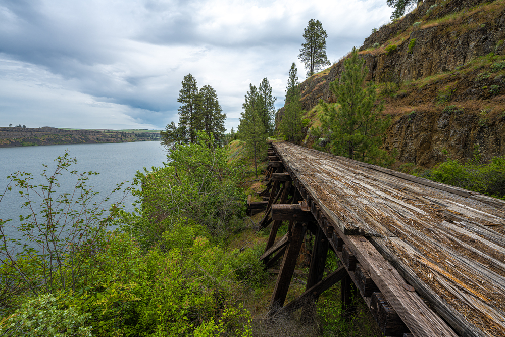
Spooner Summit to Marlette Lake
This 10-mile backcountry route follows a well-maintained dirt road from Highway 50 to a stunning alpine lake situated at 7,838 feet elevation. Accessible from May through October (depending on snow conditions), the forest road climbs steadily through meadows and aspen groves before revealing views of Marlette Lake—a pristine body of water originally created to supply Virginia City during the mining boom.
The higher elevation offers spectacular views of Lake Tahoe to the west, while the North Canyon through which the road passes features excellent wildlife viewing opportunities, including mule deer and black bears.
Echo Summit Road (Highway 50)
This 14-mile stretch from Meyers to Echo Summit follows the route of the historic Lincoln Highway—America’s first transcontinental highway—as it climbs toward the 7,377-foot pass. The road offers expansive views of Christmas Valley and the Upper Truckee River before ascending through dense forests to Echo Summit, where a dramatic vista point reveals Lake Tahoe framed by pine-covered mountains.
History enthusiasts appreciate that this area served as the training site for the 1968 U.S. Olympic men’s track team, who trained at the high elevation to prepare for the Mexico City games.
Like Travel Pug’s content? Follow us on MSN.
Alpine Meadows Road
This 5-mile journey from Highway 89 leads to Alpine Meadows ski resort through a classic Sierra landscape of granite outcroppings, meadows, and forests. The winding road follows the tumbling waters of Bear Creek, with several pullouts offering access to swimming pools during summer months.
As the valley opens up near the road’s end, drivers enjoy spectacular views of the granite peaks forming the Pacific Crest, with the dramatic face of Ward Peak dominating the skyline throughout much of the year.
Blackwood Canyon Road
This 6-mile exploration up Blackwood Creek Canyon offers access to one of the west shore’s most beautiful watersheds and connects to backcountry routes in the Tahoe National Forest. The initial paved section transitions to well-maintained gravel as it climbs through forests and meadows, with multiple spots to view the creek’s cascades over smooth granite.
During winter, this becomes a popular snowmobile and cross-country skiing route, while summer and fall visitors enjoy the abundant wildflowers and aspen colors, respectively.
Donner Pass Road (Old Highway 40)
This historic 15-mile route parallels Interstate 80 between Truckee and Soda Springs, following the original transcontinental railroad route completed in 1868. The winding mountain road crosses the Sierra crest at Donner Pass (7,135 feet), offering dramatic views of Donner Lake, historic railroad tunnels, and the imposing granite batholith that challenged the ill-fated Donner Party and countless pioneers.
Several turnouts along the route provide access to interpretive displays explaining the engineering feats required to establish this crucial transportation corridor through the formidable mountain range.
Like Travel Pug’s content? Follow us on MSN.
Mount Rose Wilderness Loop
This 25-mile adventure combines segments of Mount Rose Highway, Henness Pass Road, and Forest Service routes to circumnavigate the Mount Rose Wilderness Area north of Lake Tahoe. The partially unpaved route passes through diverse landscapes, including subalpine meadows, dense fir forests, and volcanic formations.
Multiple vista points offer perspectives of Tahoe and the surrounding Nevada high desert. The road provides access to several excellent trailheads leading into the wilderness area, including paths to Bronco Falls and Church’s Pond.
Angora Lakes Road
This 3-mile detour from Fallen Leaf Lake Road climbs to a pair of small alpine lakes nestled beneath the Echo Summit ridge. The narrow paved road winds upward through a forest recovering from the 2007 Angora Fire, offering a fascinating look at ecological succession as new growth emerges among fire-scarred trees.
The upper lake features a popular swimming area with a historic lemonade stand operating since the 1920s, where hikers can purchase refreshments after jumping from granite cliffs into the crystal-clear mountain water.
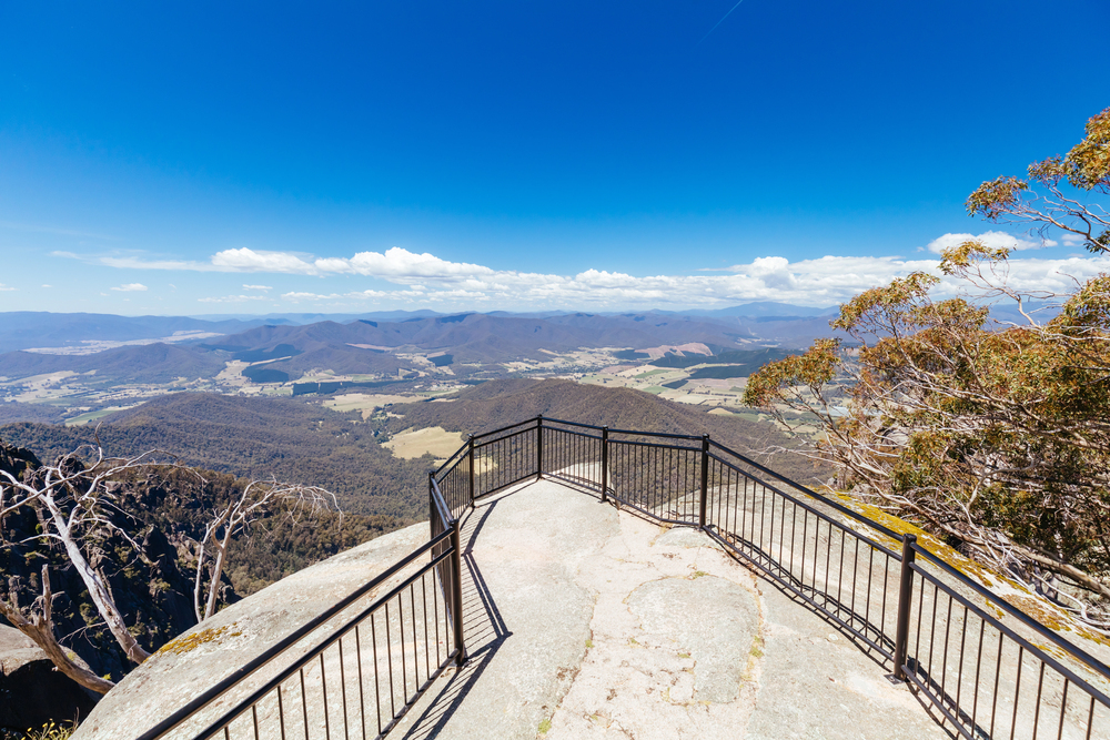
Genoa Peak Road
This 12-mile adventure on well-maintained forest roads from Spooner Summit to Genoa Peak rewards drivers with perhaps the most spectacular aerial perspective of Lake Tahoe available by automobile. The route requires high-clearance vehicles but remains passable without four-wheel drive during summer and fall.
It climbs to over 9,000 feet at the summit, where nearly the entire 72-mile shoreline of Lake Tahoe comes into view. The drive passes through changing ecological zones from Jeffrey pine forest to subalpine terrain, with abundant wildflowers creating carpets of color during the brief mountain summer.
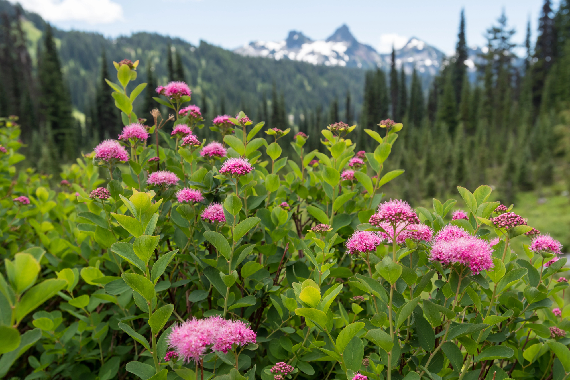
Barker Pass Road

This 7-mile forest route from Highway 89 near Homewood climbs to Barker Pass at 7,600 feet, offering access to the Pacific Crest Trail and stupendous views of Lake Tahoe to the east and the American River Canyon to the west. The road traverses lush meadows that explode with wildflowers in July and passes through groves of quaking aspen that turn brilliant gold in late September.
At the pass, hikers can access the famous long-distance trail for day hikes along the granite spine of the Sierra Nevada, with panoramic vistas in all directions.
Like Travel Pug’s content? Follow us on MSN.
Tahoe Mountain Road
This little-known 4-mile alternate route between South Lake Tahoe and Meyers passes through old-growth forest and meadows away from the congestion of Highway 50. The winding road climbs over the shoulder of Tahoe Mountain, offering glimpses of Freel Peak—the highest mountain in the Tahoe Basin at 10,881 feet—before descending toward the Upper Truckee River.
Local knowledge provides access to several unmarked forest trails along the route, leading to viewpoints and secluded picnic spots unknown to most visitors.
Fiberboard Freeway
This 15-mile forest route traverses the western rim of the Tahoe Basin between Tahoe City and Brockway Summit on a ridge approximately 1,500 feet above lake level. The well-maintained dirt road passes through diverse forest ecosystems while offering intermittent views eastward across the lake to Nevada and westward toward wooded valleys and distant Sierra peaks.
Originally built for logging access in the early 20th century, the road now serves recreation purposes with multiple connector trails to the Tahoe Rim Trail and historic sites related to the region’s timber industry.
Ebbetts Pass Scenic Byway (Highway 4)
This 38-mile journey from Markleeville into the heart of the Sierra Nevada showcases the dramatic eastern slope landscapes just south of the Tahoe Basin. The narrow, winding road climbs through aspen-lined valleys before cresting Ebbetts Pass at 8,730 feet, where views extend across a sea of granite peaks and alpine meadows.
The western descent passes pristine mountain lakes and groves of giant sequoias in Calaveras Big Trees State Park, creating a perfect full-day loop when combined with a return via Highway 88 through Hope Valley.
Like Travel Pug’s content? Follow us on MSN.
A 360-Degree Experience

These drives collectively offer a comprehensive experience of the Tahoe region that simply cannot be gained through stationary viewpoints alone. From the intimate shoreline perspectives where crystal waters lap against granite boulders to the soaring mountain passes where the lake appears as a sapphire jewel set among peaks, exploring by car reveals how dramatically the landscape transforms with changes in elevation, aspect, and ecosystem.
While Tahoe’s famous beaches and trails certainly deserve their reputation, these scenic routes remind us that sometimes the journey itself provides the most lasting impressions of a remarkable landscape.
More from Travel Pug

- Cities Growing so Fast You Won’t Recognize Them in 10 Years
- 13 Destinations Where Tourists Regularly Regret Their Trip
- 16 U.S. Cities That Are Quietly Becoming Travel Hotspots
- Where to Travel If You Love Long Bus Rides and Daydreams
- 20 Cities Perfect for Solo Travelers Who Crave Adventure & Culture
Like Travel Pug’s content? Follow us on MSN.