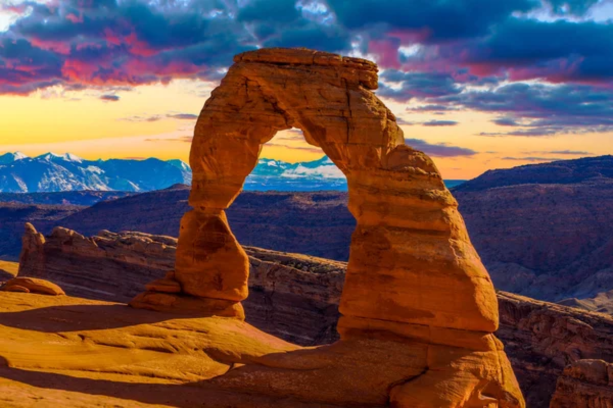
Utah’s red rock landscape offers some of the most stunning terrain for off-road enthusiasts in America. The unique geological formations, ranging from towering arches to deep canyons, create an otherworldly backdrop for adventure seekers.
The vibrant crimson cliffs contrast against the azure sky, providing challenging trails and unforgettable views that will stay with you long after the dust settles. The state’s southeastern region hosts various trails suitable for different skill levels and vehicle types.
Here are 20 exceptional off-road adventures in Utah’s magnificent red rock country.
Moab Rim Trail
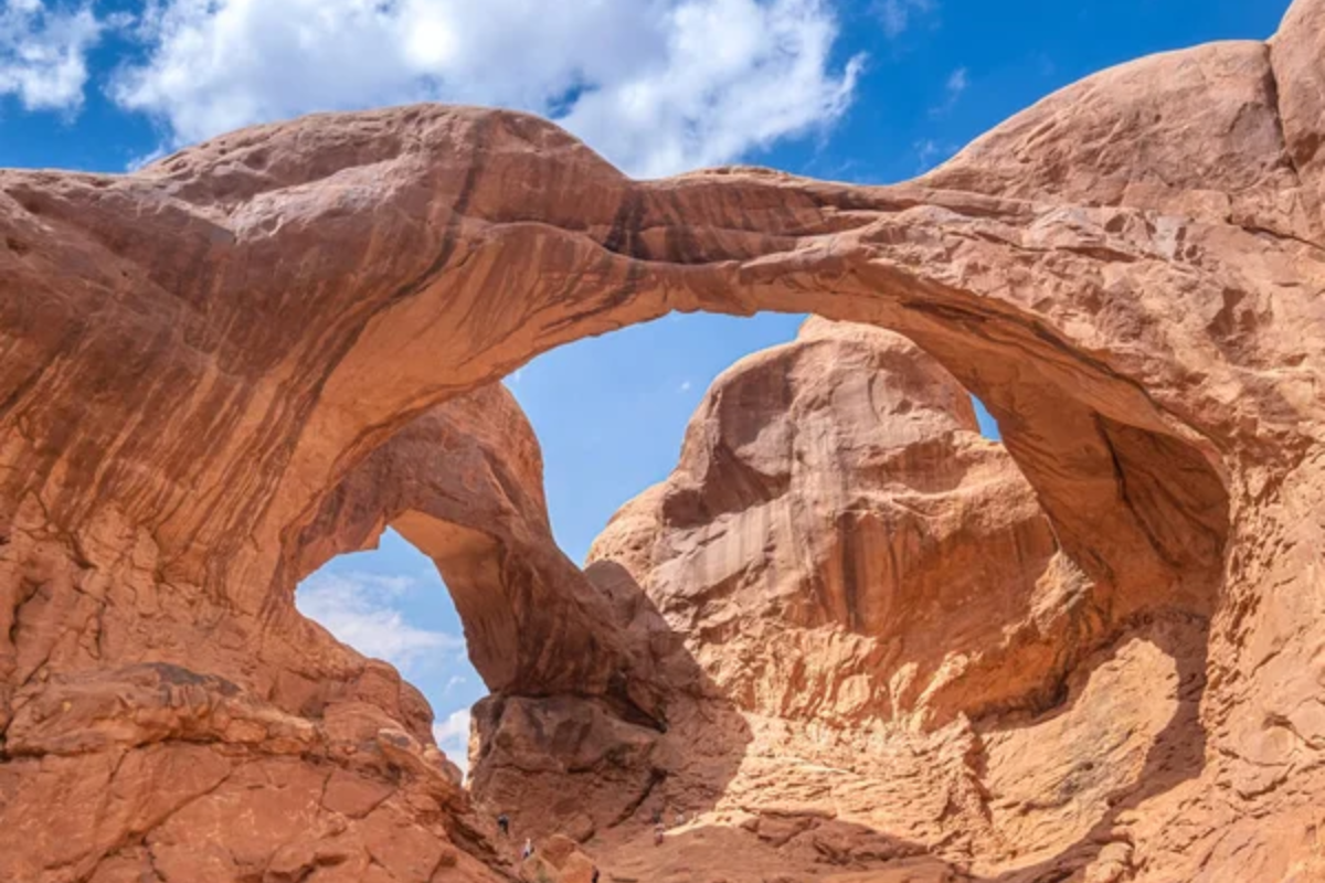
This challenging route delivers heart-pumping excitement with its steep climbs and technical sections. The trail ascends 1,000 feet above the Colorado River and rewards drivers with panoramic views of Moab Valley and the La Sal Mountains.
The notorious obstacles like Devil’s Crack and Z-Turn separate the ambitious from the experienced.
Poison Spider Mesa
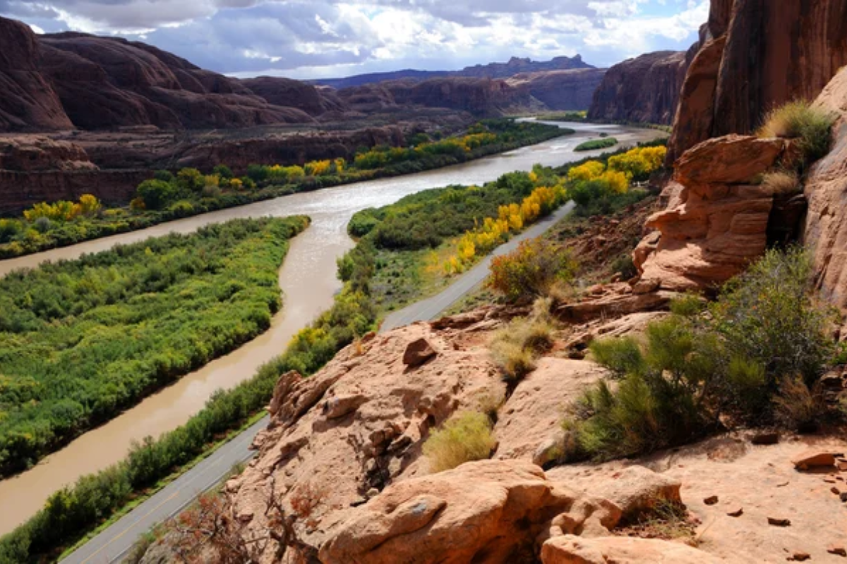
Named for the arachnids that once populated the area, this trail is a difficult adventure that combines sand, slickrock, and ledges. The 9-mile route features the famous Portal Overlook, which offers breathtaking views of Moab and the Colorado River below.
Many drivers combine this with Gold Bar Rim for an extended day of exploration.
Like Travel Pug’s content? Follow us on MSN.
Hell’s Revenge
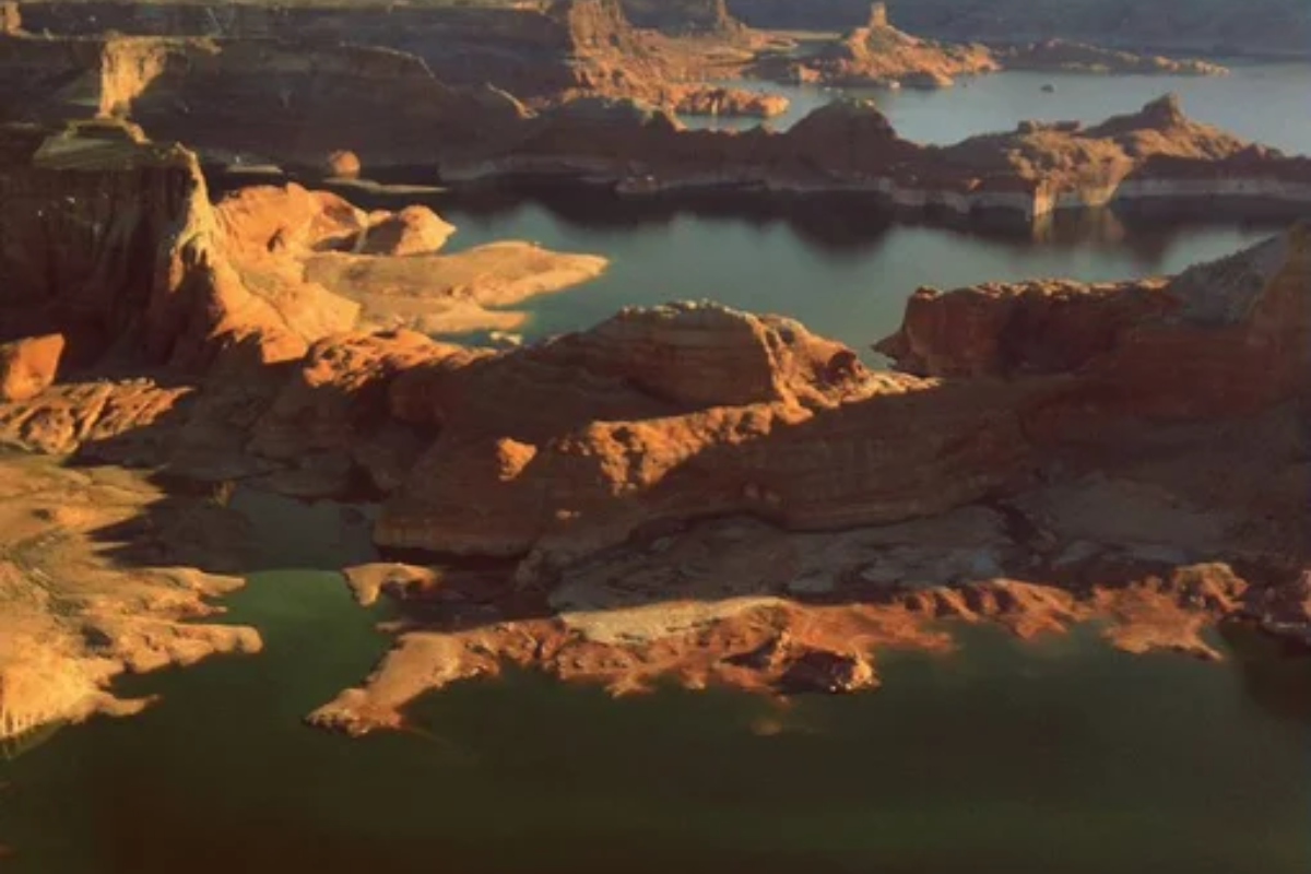
This slickrock playground features steep climbs and descents with intimidating names like ‘Hell’s Gate’ and ‘The Escalator.’ The trail’s distinctive orange and black striped sandstone creates natural roller coaster-like features that test your vehicle’s articulation and nerves.
Despite its hellish name, the heavenly views of the La Sal Mountains make this trail divine.
Gemini Bridges
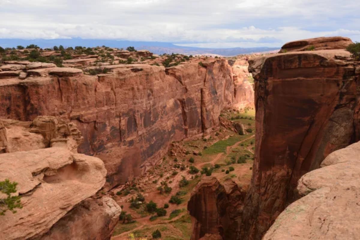
This moderate trail leads to twin natural rock spans that stand side by side like cosmic twins. The route offers plenty of scenic vistas and photo opportunities without requiring advanced off-road skills.
The bridges span approximately 100 feet across a deep canyon, creating a natural wonder that seems almost engineered in its precision.
Elephant Hill
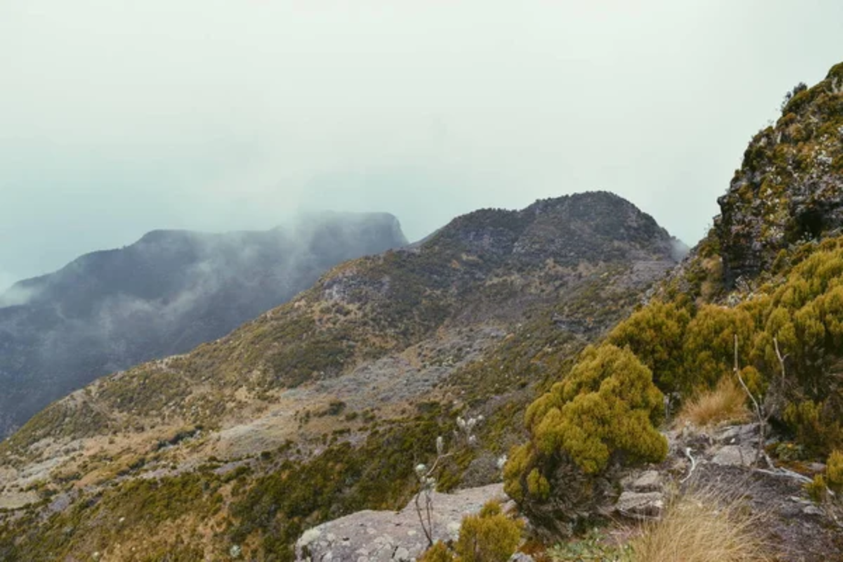
Located in the Needles District of Canyonlands National Park, this trail features tight switchbacks and challenging ledges. The path winds through a surreal landscape of spired rock formations that resemble a stone forest.
Park permits are required, but the extra planning pays off with less crowded trails and pristine backcountry access.
Like Travel Pug’s content? Follow us on MSN.
White Rim Trail
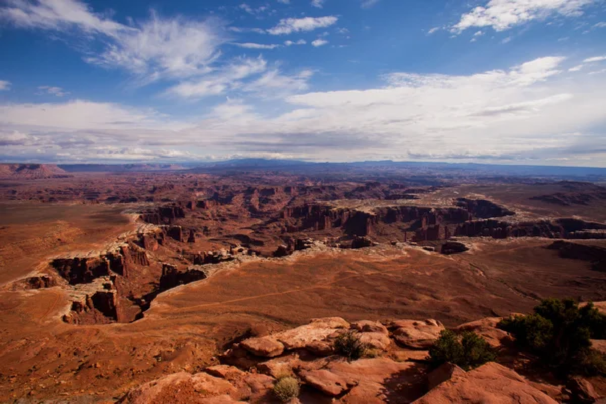
This 100-mile loop circles the Island in the Sky mesa in Canyonlands National Park. The multi-day adventure passes through varied terrain alongside the Colorado and Green Rivers, including canyon bottoms and mesa tops.
The changing light throughout the day transforms the landscape, making each mile visually distinct from the last.
Behind the Rocks

This challenging trail lives up to its name by winding behind massive sandstone fins visible from Moab. Obstacles like White Knuckle Hill and Upchuck Hill require serious off-road capability and experience.
The trail also provides access to incredible rock formations, including Prostitute Butte and Picture Frame Arch.
Fins and Things
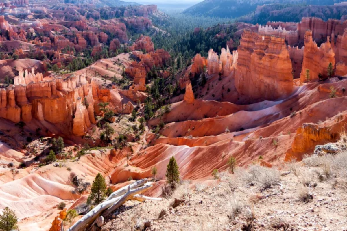
Perfect for intermediate drivers, this trail features continuous slickrock fins that resemble ocean waves frozen in stone. The undulating terrain provides a roller coaster-like experience without extreme obstacles.
Many rental companies suggest this as a first Moab experience that delivers excitement without overwhelming newcomers.
Like Travel Pug’s content? Follow us on MSN.
Metal Masher
This trail includes the famous Arth’s Rim section, with its precarious cliff edges and technical obstacles. It also includes challenging features like Yellow Hill and Mirror Gulch, which will test your driving skills.
The spectacular views of Monitor and Merrimac Buttes make the white-knuckle moments worthwhile.
Steel Bender
Named for its ability to challenge even well-built rigs, this trail crosses Mill Creek multiple times and features several difficult rock obstacles. The varied terrain includes Slickrock climbs, sandy washes, and technical ledges in one route.
Cool creek crossings provide welcome relief during hot summer months.
Dome Plateau
This less-traveled trail offers solitude and stunning views of the Colorado River corridor. The 30-mile route traverses varied terrain, from sandy washes to slick rock, and provides access to prehistoric petroglyphs and scenic arches.
The trail’s remote nature requires self-sufficiency, but the untouched beauty is worth the preparation.
Like Travel Pug’s content? Follow us on MSN.
Pritchett Canyon
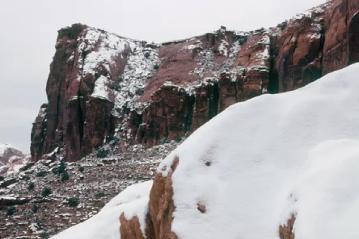
Known as one of Moab’s toughest trails, this route features notorious obstacles like Rocker Knocker and Yellow Hill. The narrow canyon creates tight passages that require precise wheel placement and technical driving skills.
Even experienced drivers often spend an entire day navigating this four-mile challenge.
Seven Mile Rim
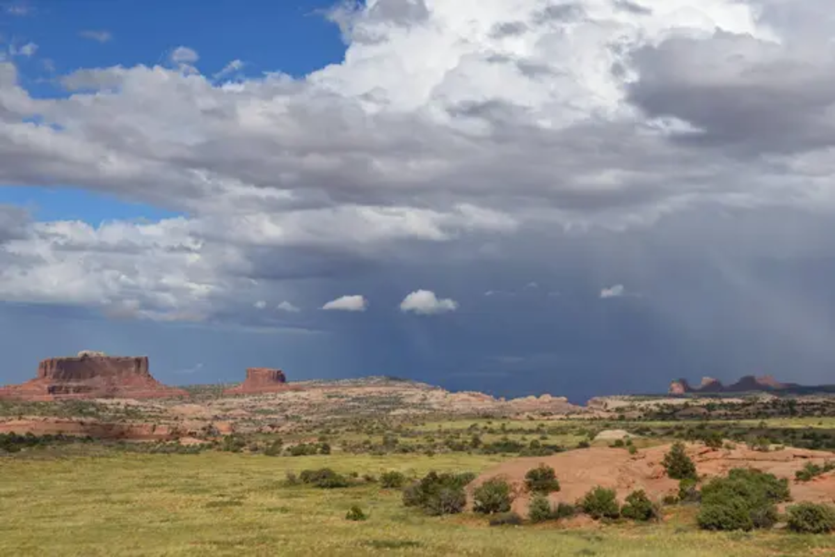
This moderate trail offers outstanding views of Arches National Park and unique features like Monitor and Merrimac Buttes. It includes sections of slick rock, dirt roads, and some moderately challenging ledges without extreme obstacles.
The ‘Uranium Arch’ makes a perfect natural frame for landscape photography.
Chicken Corners
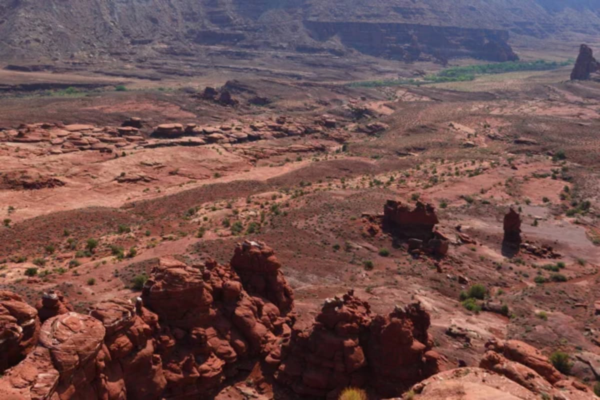
This relatively easy trail follows the Colorado River before turning toward an overlook of Dead Horse Point. The route’s name comes from the narrow section near the end that supposedly separates the brave from the ‘chickens’ who won’t proceed.
The relatively forgiving terrain makes this accessible for stock high-clearance 4x4s.
Like Travel Pug’s content? Follow us on MSN.
Lockhart Basin
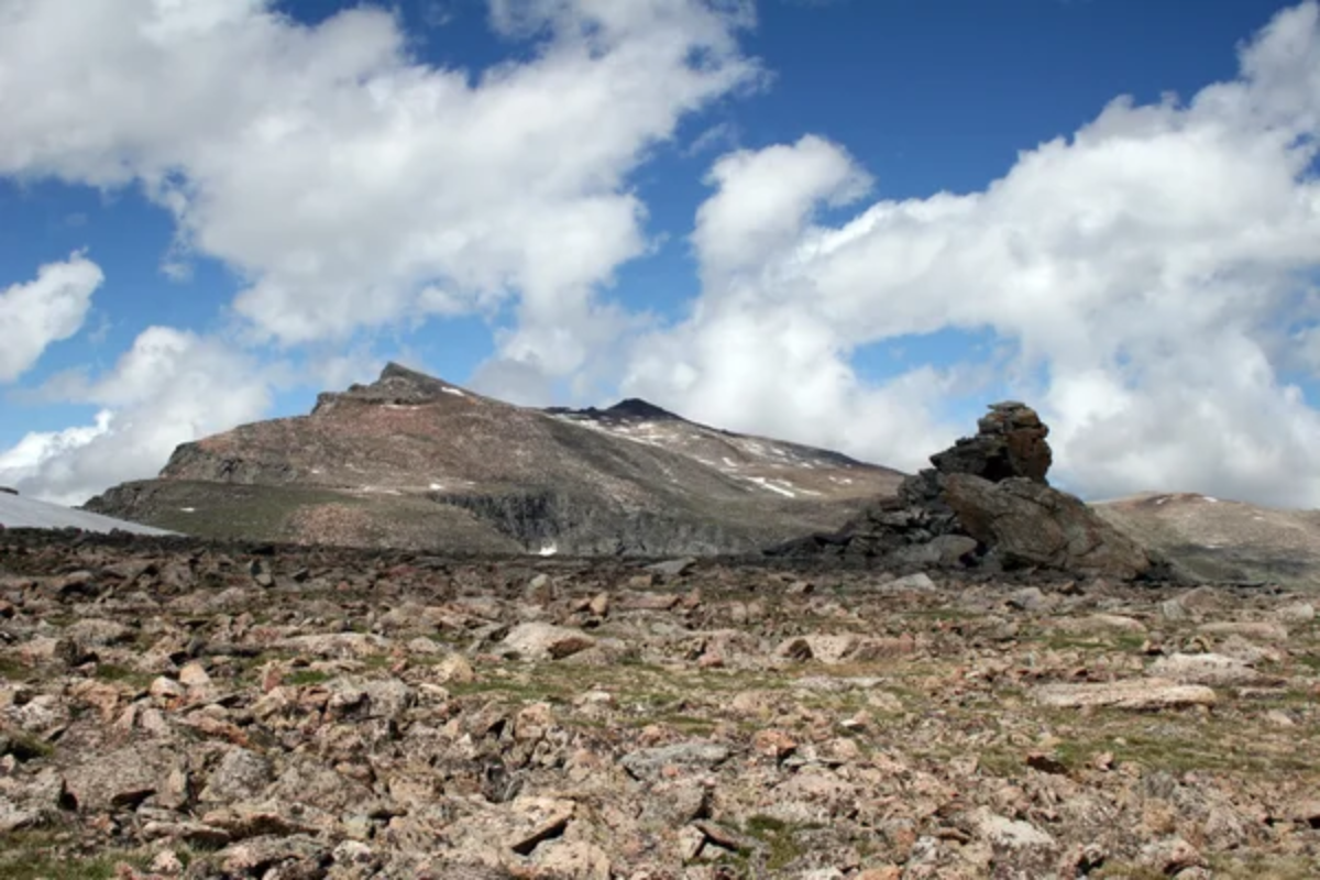
This remote 60-mile route follows beneath the towering cliffs of Canyonlands’ Island in the Sky district. The trail offers magnificent isolation and primitive camping opportunities far from civilization.
The combination of distant views and close-up geological features provides a complete desert experience.
Kane Creek Canyon
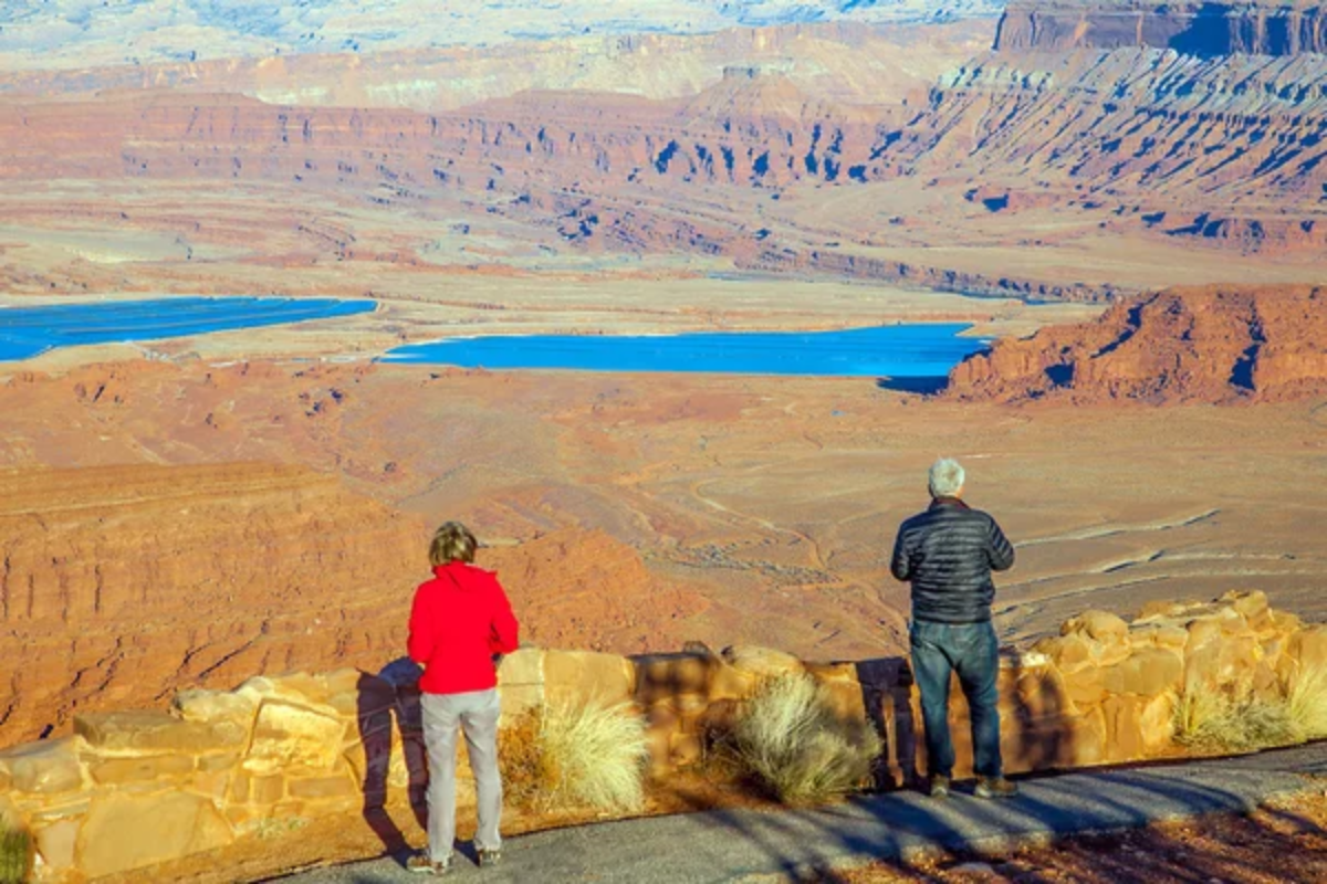
This trail follows a creek bed through a deep canyon. It features multiple water crossings and challenging rocky sections. The route passes by ancient Native American rock art panels that have survived in this protected canyon for centuries.
During spring runoff, water levels can make this trail particularly challenging.
Onion Creek
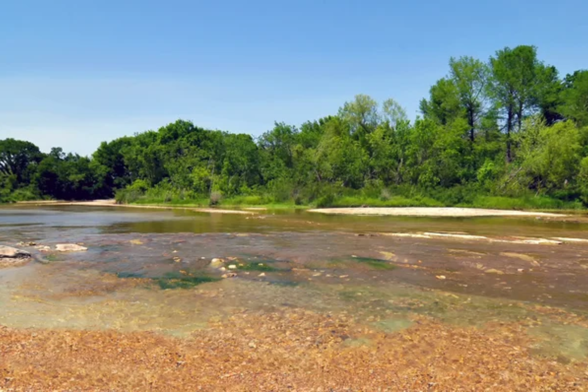
This scenic route crosses a shallow creek dozens of times beneath colorful sandstone cliffs. It then passes through a narrow canyon, where red and yellow striped walls tower hundreds of feet overhead.
The relatively easy driving makes this perfect for those wanting impressive scenery without technical challenges.
Like Travel Pug’s content? Follow us on MSN.
Black Ridge
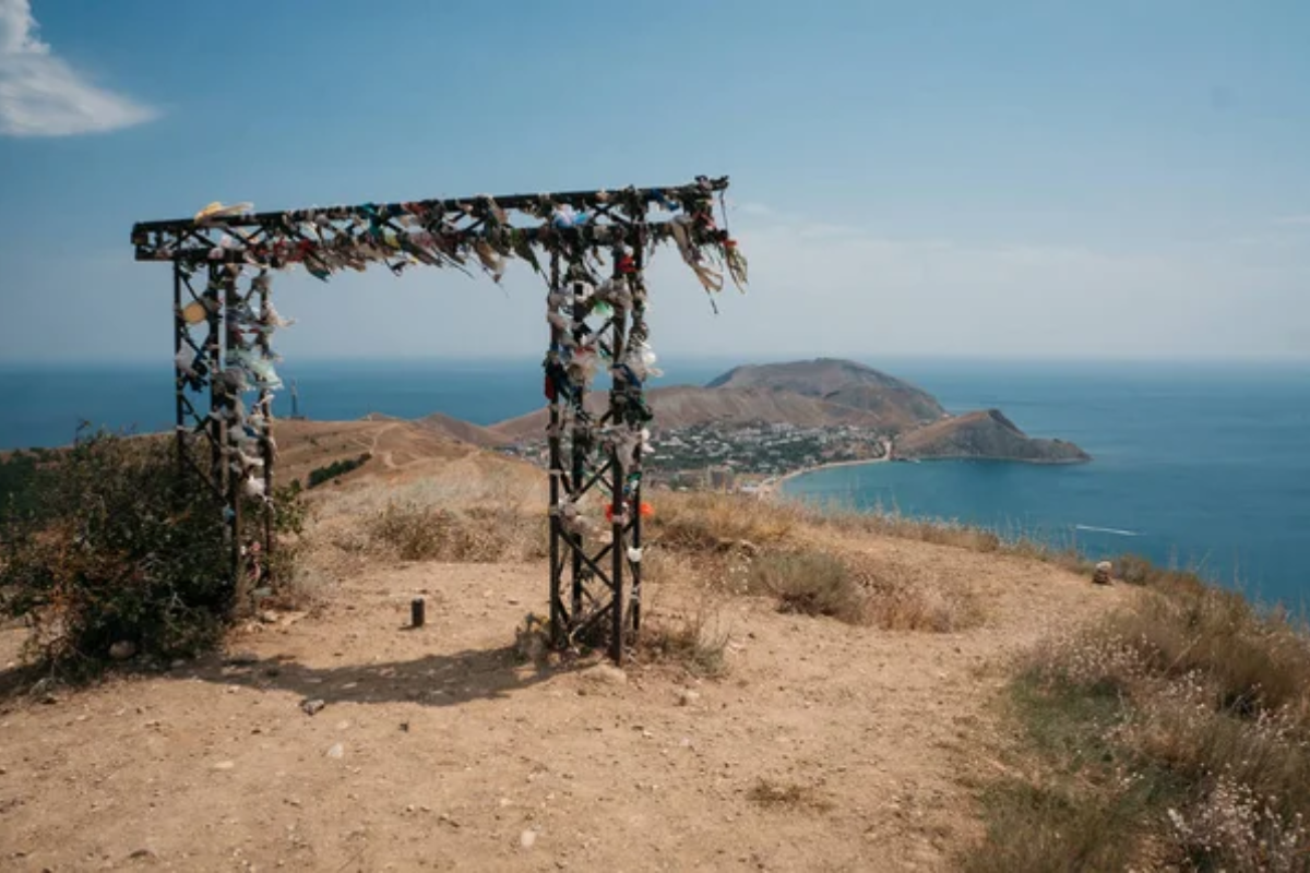
This trail climbs to over 8,000 feet, offering a different ecosystem than the desert below. The route features forests of pinyon and juniper trees with occasional meadows filled with wildflowers in spring.
The dramatic elevation change provides a refreshing temperature drop during hot summer months.
Crystal Geyser
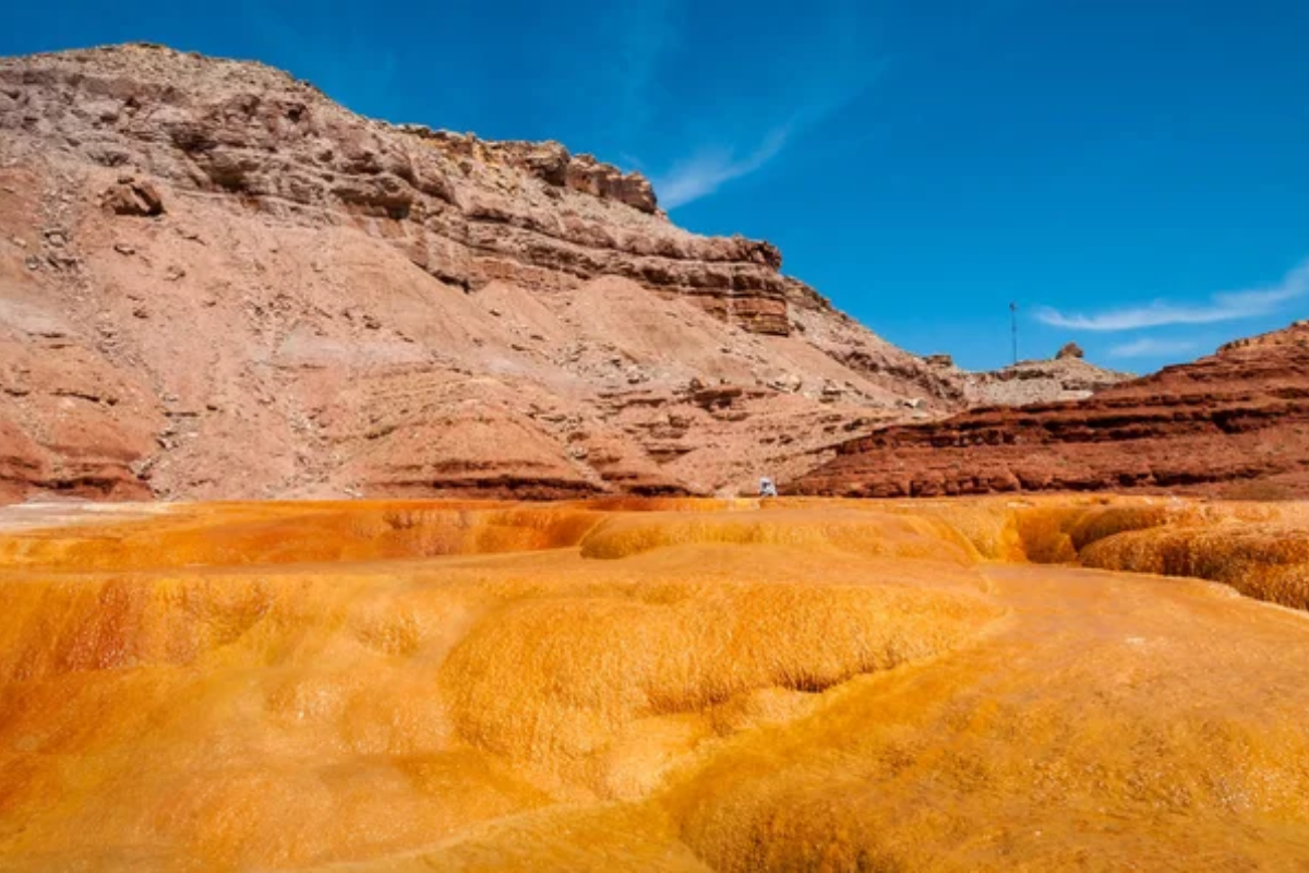
This easy trail leads to a rare cold-water geyser that periodically erupts with carbonated water stained orange by mineral deposits. The route follows the scenic Green River, with minimal technical challenges and maximum visual rewards.
The bizarre geyser cone, formed from minerals, looks like something from another planet.
Toquerville Falls
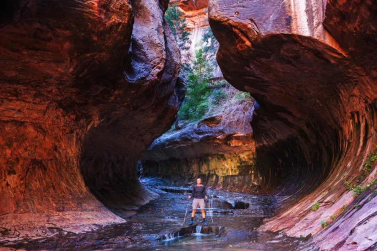
This moderately difficult trail leads to cascading waterfalls in the desert—a truly unexpected sight. The route features several ledges and rocky sections that require careful navigation but remain accessible to most off-road vehicles.
The falls create emerald pools perfect for cooling off after a dusty drive.
Like Travel Pug’s content? Follow us on MSN.
Endless Red Rock Horizons
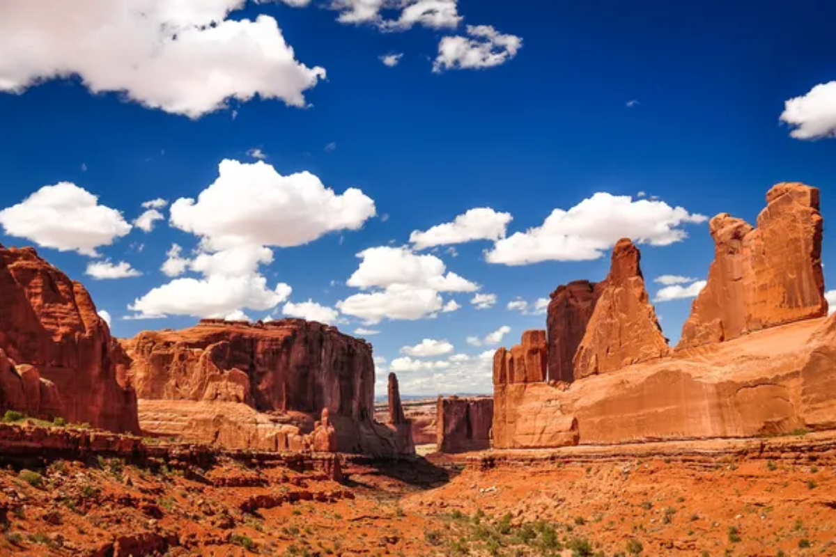
The landscape of Utah’s red rock country has been shaped by millions of years of geological processes, creating the playground we enjoy today. These trails connect us to both ancient history and the raw power of nature’s ongoing work.
The adventure possibilities in this region remain nearly limitless, with variations in weather and seasons transforming familiar routes into new experiences.
More from Travel Pug

- 20 Destinations That Were Once Thriving but Are Now Quietly Disappearing
- 15 Hidden Spots in Disney World’s Magic Kingdom Most Visitors Miss
- 20 Once-Popular Beach Towns That Are Now Ghostly Empty
- 20 Beautiful US Lakefront Towns Where You Can Live for Under $2000 a Month
- 20 Caribbean Islands That Are Safer Than People Think
Like Travel Pug’s content? Follow us on MSN.
