
Ireland’s coastline stretches for over 3,000 miles, creating one of Europe’s most spectacular driving landscapes. While the Wild Atlantic Way gets most of the publicity, the Emerald Isle harbors countless lesser-known coastal routes that offer equally breathtaking scenery without the tourist crowds.
These hidden drives combine dramatic cliff faces, pristine beaches, historic sites, and charming villages, all connected by winding roads that seem designed specifically for the joy of driving. Here is a list of 20 secret coastal routes across Ireland that deserve a place on your driving bucket list.
Copper Coast Byway
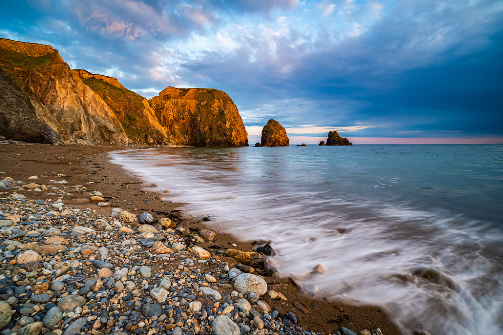
This 25-mile route in County Waterford traces a UNESCO Global Geopark coastline where copper mining once flourished in the 19th century. The road hugs the shoreline between Tramore and Dungarvan, passing through small fishing villages where colorful boats bob in natural harbors that have been used for centuries.
Ancient stone ruins dot the landscape alongside geological formations that showcase 460 million years of Earth’s history, creating a drive that’s as educational as it is beautiful.
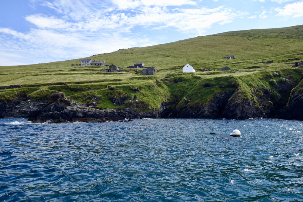
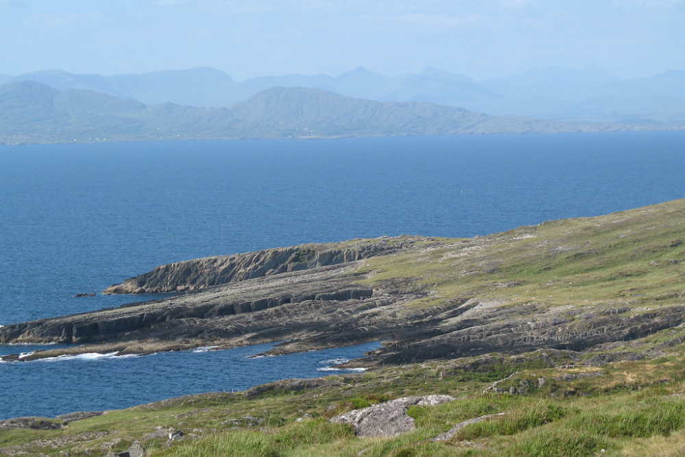
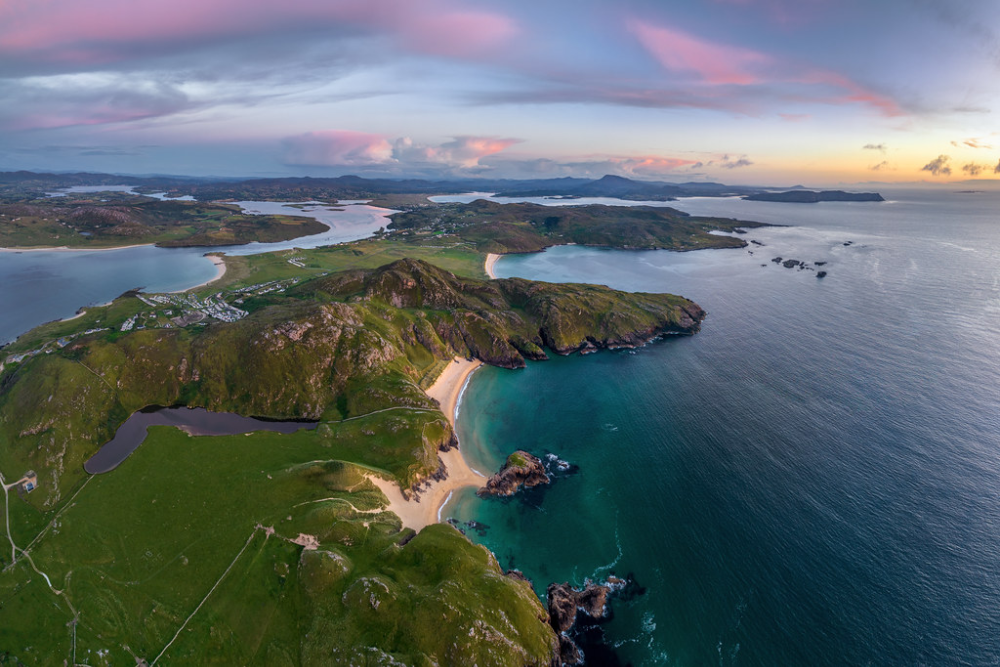
Loop Head Circuit
This lesser-known peninsula in County Clare offers a 20-mile circular route that rivals its famous neighbor, the Cliffs of Moher, without the tour buses. The narrow road circles the headland, providing dramatic views of both the Shannon Estuary and the Atlantic Ocean, where dolphins frequently play in the churning waters.
The Loop Head Lighthouse stands sentinel at the peninsula’s westernmost point, offering tours where visitors can climb to the balcony for panoramic views extending as far as the Dingle Peninsula on clear days.
Like Travel Pug’s content? Follow us on MSN
Hook Peninsula Drive
County Wexford’s hidden gem features a 20-mile route around a finger of land culminating at the world’s oldest operational lighthouse. The medieval Hook Lighthouse has guided ships since the 12th century, while the surrounding coastline alternates between sandy beaches and dramatic rock formations created by centuries of Atlantic storms.
Inishowen 100
This 100-mile route, forming a figure-eight around County Donegal’s northernmost peninsula, takes drivers to Ireland’s most northerly point, Malin Head. The rugged coastal road passes by Doagh Famine Village, Five Finger Strand, and numerous ancient ring forts and stone circles dating back thousands of years.
Recent years have seen the peninsula gain fame as a Star Wars filming location, but the majority of this spectacular drive remains blissfully under-visited even during peak summer months.
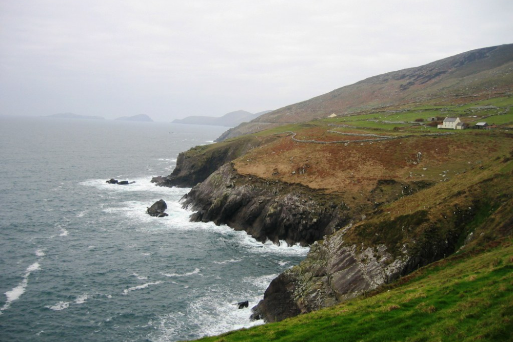
Great Blasket Drive
This intimate 15-mile route on the western edge of the Dingle Peninsula focuses on the dramatic coastline opposite the now-uninhabited Blasket Islands. The narrow road winds through Irish-speaking communities where traditional culture remains vibrant and authentic, not preserved merely for tourism.
Stone beehive huts over 1,000 years old stand in fields alongside the road, while views across to Great Blasket Island reveal the harsh beauty that inspired some of Ireland’s most significant 20th-century literature before the island was evacuated in 1953.
Like Travel Pug’s content? Follow us on MSN
Sheeps Head Way
This 70-mile route follows one of Ireland’s narrowest peninsulas in County Cork, where a single-track road traces both coastlines of a slim finger of land jutting into the Atlantic. The terrain here feels more intimate than Ireland’s famous driving routes, with stone walls running alongside the road and sheep grazing on impossibly green fields that slope dramatically toward the sea.
Achill Island Circuit
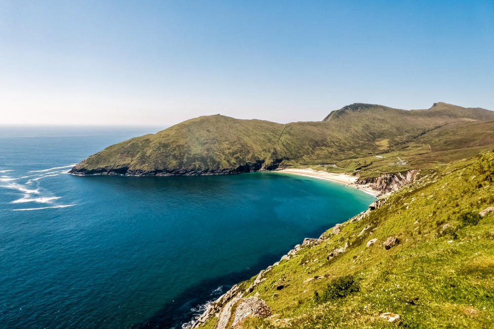
Reached by a bridge from County Mayo, Ireland’s largest island offers a 40-mile coastal drive that showcases abandoned villages, towering sea cliffs, and beaches that rival the Caribbean for beauty if not for warmth. The Atlantic Drive section hugs the island’s southern edge, where the road clings precariously to cliffs rising hundreds of feet from the ocean.
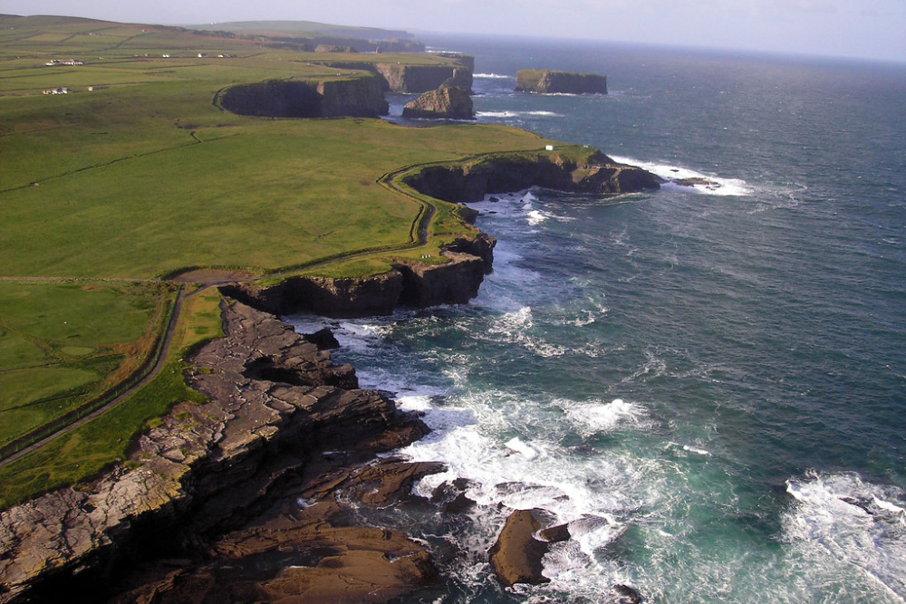
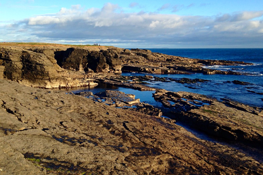
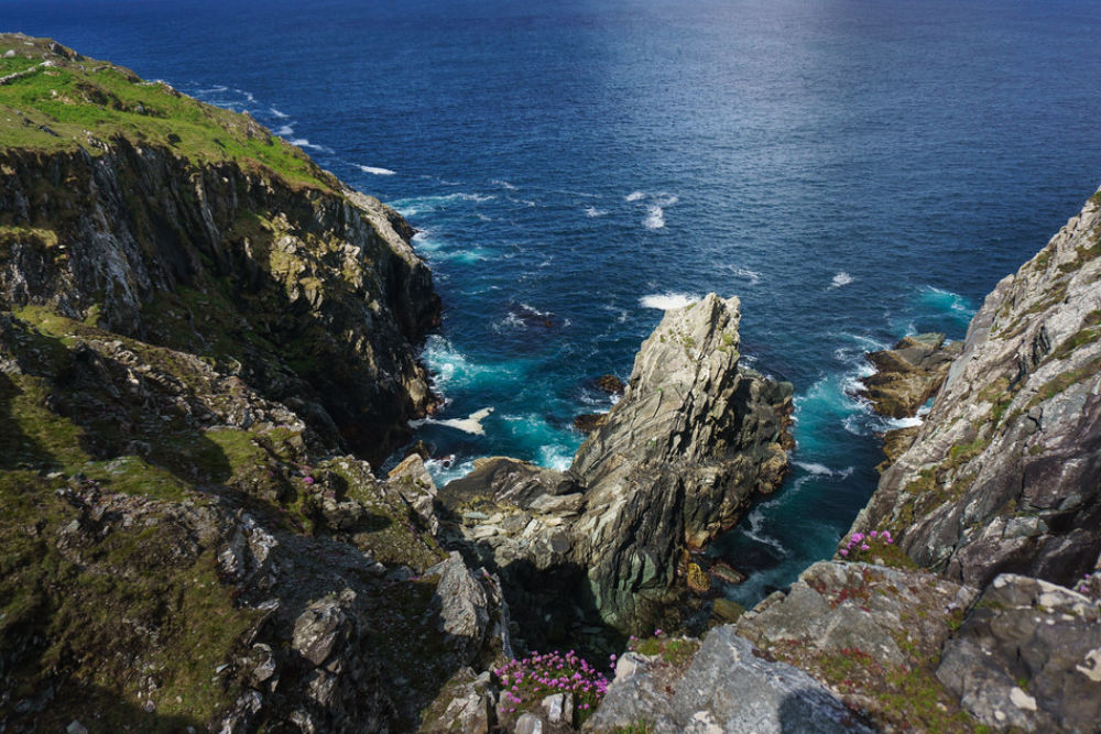
Burren Coastal Road
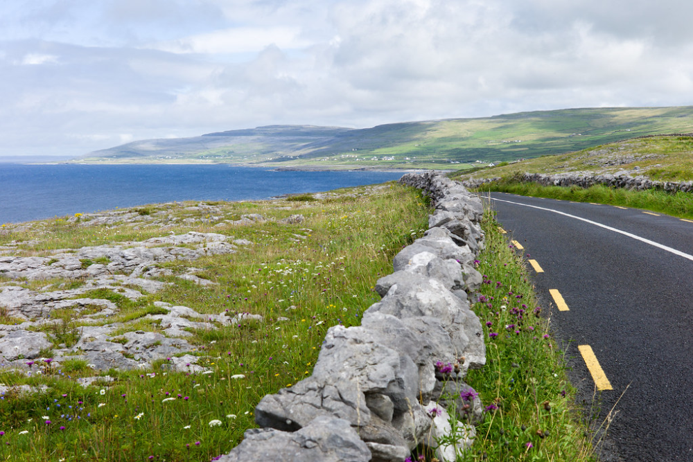
This geological wonderland in County Clare features a 20-mile coastal route where the famous Burren limestone landscape meets the Atlantic Ocean. The road passes through an otherworldly terrain where Arctic and Mediterranean plants grow side by side in the cracks between ancient stone pavements that flow like frozen rivers toward the sea.
Neolithic tombs and Iron Age stone forts appear regularly along the route, making this drive a journey through 5,000 years of human history against one of Ireland’s most distinctive natural backdrops.
Like Travel Pug’s content? Follow us on MSN
Beara Way
The lesser-visited southern neighbor of the famous Ring of Kerry offers an 80-mile route around the Beara Peninsula spanning counties Cork and Kerry. The road traverses mountain passes where ancient copper mines once operated before descending to coastal villages where fishing remains the primary livelihood.
Ireland’s only cable car connects the route to Dursey Island at the peninsula’s tip, carrying passengers 820 feet above the treacherous waters of Dursey Sound, where strong currents make boat crossings impossible.
Mizen Head Drive
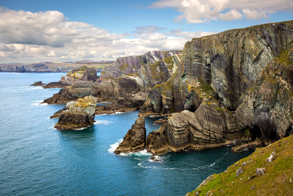
The southernmost of southwest Ireland’s peninsulas features a 50-mile route culminating at the Mizen Head Signal Station, built to warn ships away from this dangerous corner of Ireland. The road weaves through small farming communities where fields are divided by stone walls built during the famine years as public works projects to earn food rations.
Antrim Coast Road
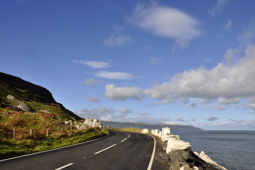
This engineering marvel in Northern Ireland stretches for 25 miles between Larne and Cushendall, carved directly into the base of towering sea cliffs in the 1830s. The road passes through perfectly preserved Georgian villages built from locally quarried limestone that glows pink in the evening light.
Glenariff, the ‘Queen of the Glens,’ meets the sea along this route, creating a dramatic intersection of verdant valley and rugged coastline where waterfalls cascade directly onto the beach at high tide.
Like Travel Pug’s content? Follow us on MSN
Sky Road
This compact 9-mile loop west of Clifden in Connemara, County Galway, packs more jaw-dropping views per mile than perhaps any drive in Ireland. The road climbs steeply from the town to a viewpoint overlooking the Atlantic, with the coastline dramatically indented by fjord-like bays beneath rugged mountains that change color with the shifting light.
Cruit Island Bridge
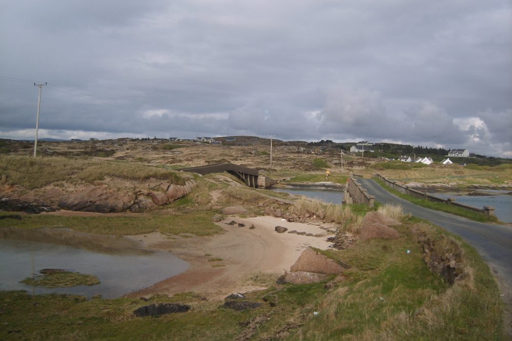
Perhaps Ireland’s shortest coastal drive at just 3 miles, this route in western Donegal crosses a narrow bridge to an island connected to the mainland only since the 1980s. The single-track road circles white sand beaches that could be mistaken for the Caribbean on sunny days, with crystal clear water surrounding the tiny island.
Traditional thatched cottages still serve as summer homes for local families, while the mainland views showcase the distinctive flat-topped mountain of Mount Errigal standing sentinel over the coastline.
Slea Head West
This lesser-driven alternative to the famous Slea Head Drive follows the western edge of the Dingle Peninsula on narrow farm roads barely wide enough for a single car. Ancient Christian settlements dot the landscape, with beehive huts and early stone churches testifying to the area’s importance in early medieval Ireland.
The drive culminates at the Gallarus Oratory, a perfectly preserved stone church built between the 8th and 12th centuries using techniques that have kept the interior dry for over a thousand years without mortar.
Like Travel Pug’s content? Follow us on MSN
Baltimore Beacon Route
This intimate 12-mile drive in West Cork follows the coastline from Skibbereen to the Baltimore Beacon, a distinctive white-painted stone marker built to guide ships safely into the natural harbor. The road passes through lush countryside before emerging at coastal viewpoints overlooking Roaringwater Bay and its scatter of islands where clear Atlantic waters have created a haven for kayakers and sailors.
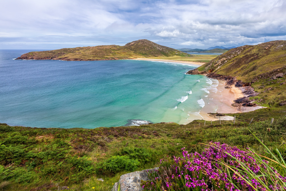
Fanad Peninsula Circuit
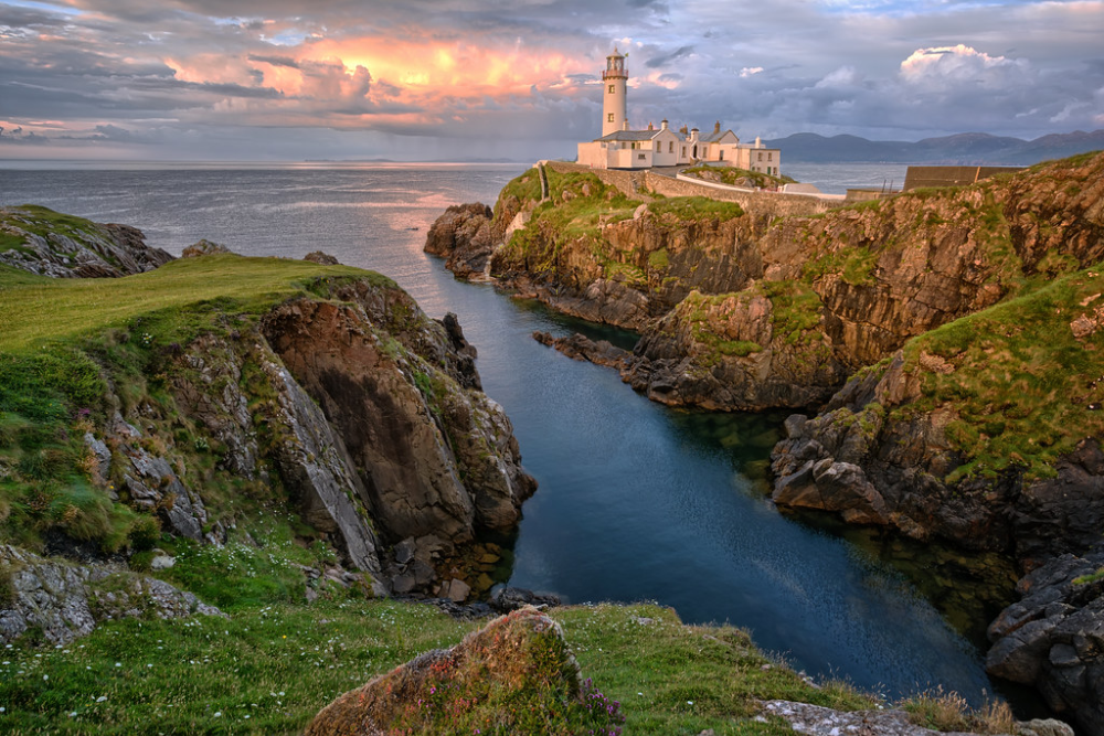
This 70-mile route in north Donegal circles a peninsula defined by three distinct coastlines – the wild Atlantic edge, the sheltered shores of Lough Swilly, and the gentler waters of Mulroy Bay. Fanad Lighthouse marks the peninsula’s northern tip, built after the 1811 sinking of the frigate HMS Saldanha with the loss of 254 lives.
The inland sections of the drive pass through the Knockalla Mountains, where hairpin turns reveal breathtaking views across waters where basking sharks and minke whales are regular summer visitors.
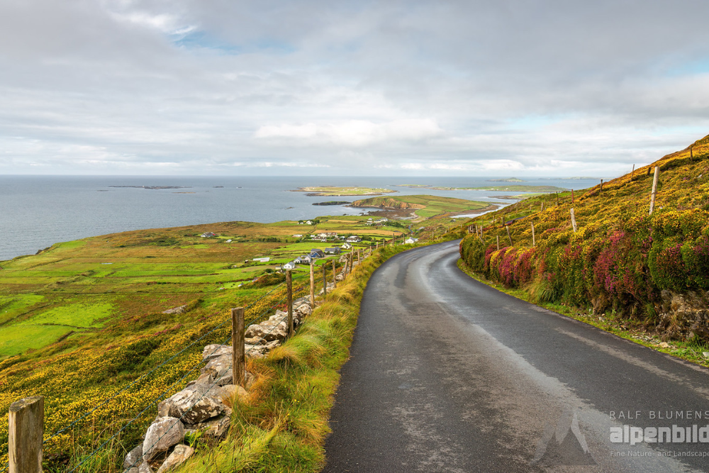
Connemara Bog Road
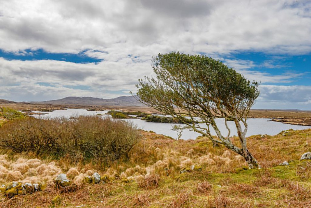
This inland route through County Galway connects to the coast at several points, creating a 40-mile drive through one of Ireland’s most distinctive landscapes. The road crosses vast peat bogs where, for centuries, locals have cut turf for fuel, creating a patchwork landscape of dark pools and geometric cutting patterns.
The route emerges periodically at pristine beaches like Glassilaun, where white sand and turquoise water create swimming spots that would be overrun with tourists if they were located elsewhere in Europe.
Like Travel Pug’s content? Follow us on MSN
Kinsale Harbor Drive
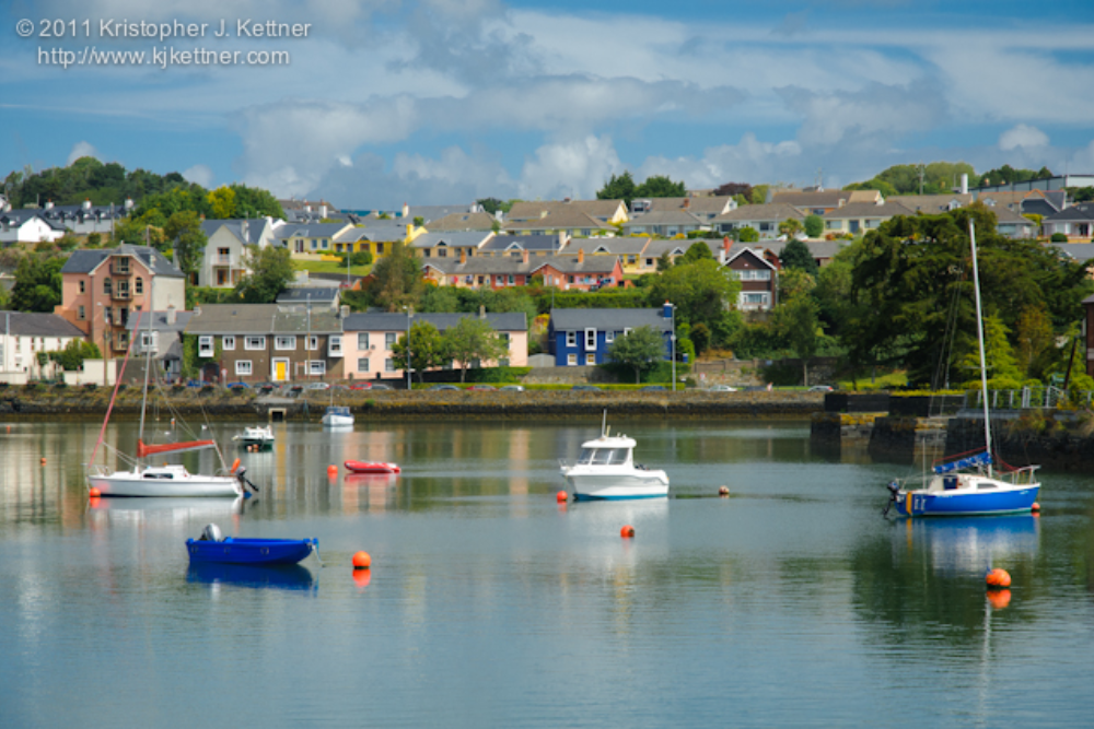
This sophisticated 15-mile route near Cork follows the Bandon Estuary to the historic port town of Kinsale before continuing along the harbor’s edge past Charles Fort, one of Europe’s best-preserved star forts. The road climbs to the Old Head of Kinsale, a dramatic headland where cliffs drop straight to the Atlantic and a lighthouse stands guard over waters where the Lusitania was sunk in 1915.
The area’s natural beauty is complemented by Kinsale’s reputation as Ireland’s gourmet capital, making this drive a feast for all senses.
Dunmanus Bay Circuit
This tranquil 30-mile route on the north side of the Mizen Peninsula in West Cork follows one of Ireland’s least-developed coastlines. Single-track roads hug the shoreline of a bay so sheltered that its waters often appear mirror-like, perfectly reflecting the green hills that rise from its edges.
The area features numerous stone circles and standing stones from the Bronze Age, creating a landscape where ancient spirituality feels palpably close. Sheep farmers still use traditional methods in fields bordering the road, with dry stone walls creating a patchwork visible from miles away.
Rosguill Peninsula Loop
This compact 20-mile circuit in north Donegal circles a tiny peninsula that packs dramatic coastal scenery into a drive that can be completed in under an hour. The road follows the shores of both Sheephaven Bay and Mulroy Bay, connected by the spectacular Atlantic Drive section that clings to cliffs on the peninsula’s northern edge.
The Great Arch, a massive natural rock formation carved by centuries of Atlantic storms, creates a perfect frame for sunset photographs that capture the wild beauty of Ireland’s northwestern corner.
Like Travel Pug’s content? Follow us on MSN
Beyond the Guidebooks
These 20 routes represent Ireland’s coastal driving at its most authentic—experiences that connect travelers with landscapes and communities that have maintained their character despite the pressures of modern tourism. The magic of these drives lies not just in their scenery but in their spontaneity—the unexpected conversations with farmers moving their sheep across the road, the hidden beaches reached by unmarked paths, and the perfect pints in village pubs where tourists remain a novelty rather than the norm.
In an age of over-tourism and Instagram crowds, these secret coastal routes offer something increasingly valuable: the chance to discover Ireland at your own pace, following roads where the journey itself remains the primary destination.
More from Travel Pug

- 20 Towns Built for One Purpose That Were Later Abandoned
- 15 Hidden Spots in Disney World’s Magic Kingdom Most Visitors Miss
- 20 Once-Popular Beach Towns That Are Now Ghostly Empty
- 20 Beautiful US Lakefront Towns Where You Can Live for Under $2000 a Month
- The 20 Most Fascinating Abandoned Places: A Journey Through Time and Forgotten Spaces
Like Travel Pug’s content? Follow us on MSN