
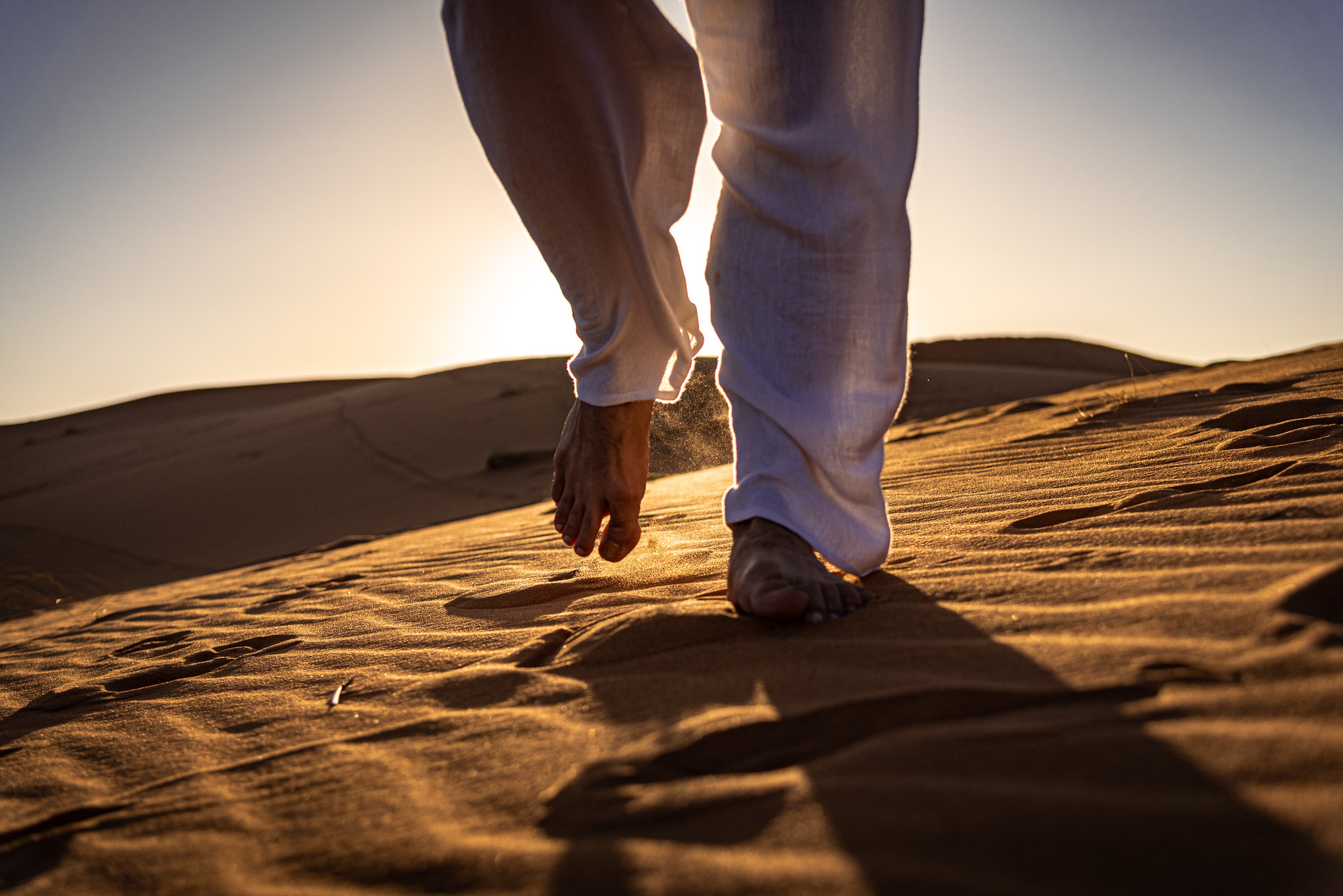
North Africa’s vast deserts have captivated travelers for centuries, from ancient caravans traversing the Sahara to modern explorers seeking landscapes that appear otherworldly. While tourist hotspots like Morocco’s Erg Chebbi dunes draw crowds, countless magnificent routes remain virtually unknown to all but the most dedicated desert enthusiasts and local guides. These hidden paths offer a profound connection to some of Earth’s most dramatic terrains without the distraction of tour buses and selfie sticks.
Here is a list of 20 undiscovered desert road trips through North Africa that showcase stunning landscapes few travelers ever witness. Each route offers a unique perspective on the region’s geological wonders, cultural heritage, and untamed beauty that lies beyond the typical tourist experience.
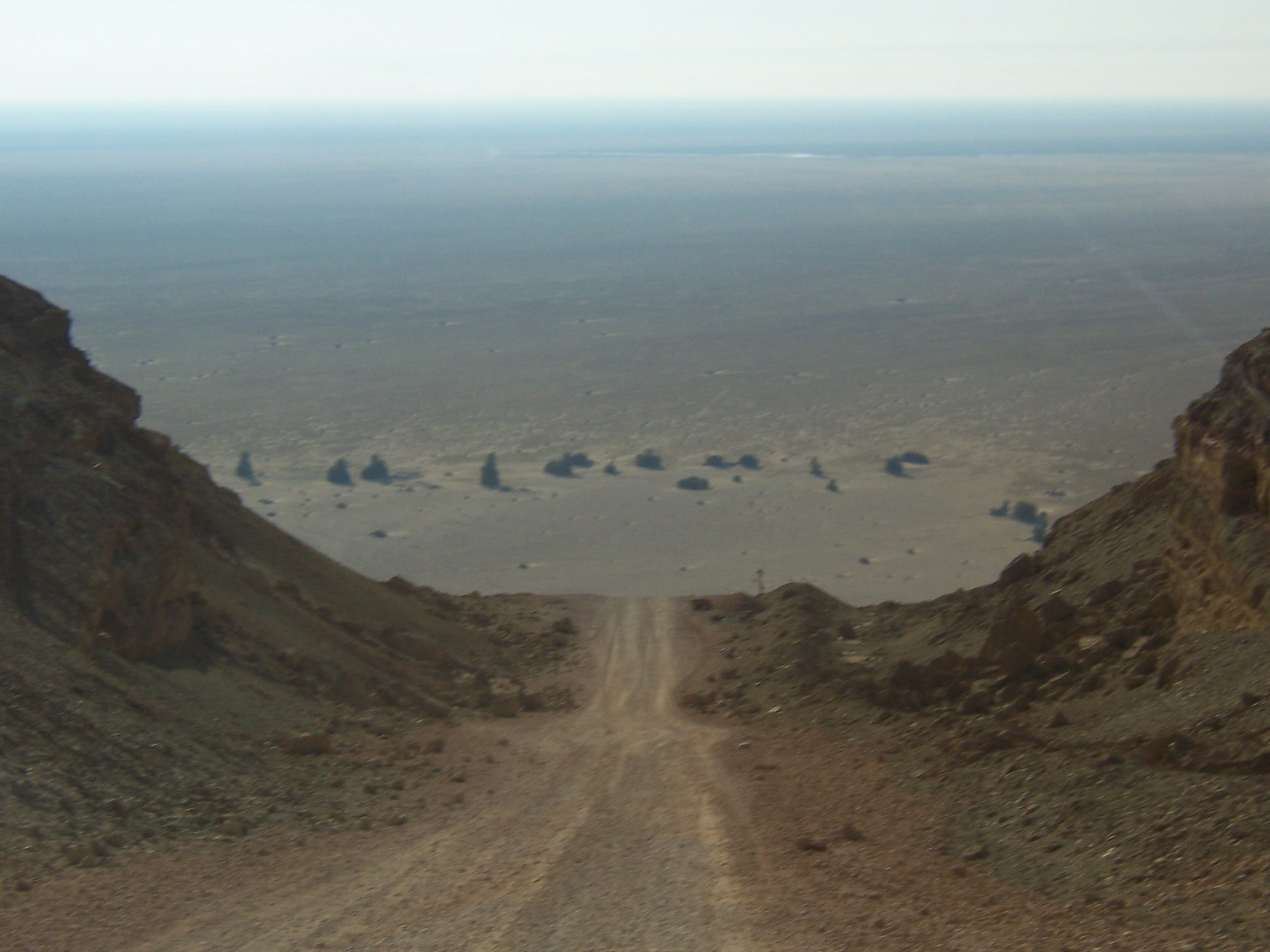
The White Desert Circuit
This otherworldly route through Egypt’s Western Desert connects the oasis town of Bahariya to the limestone formations of Farafra. The road winds through a landscape of chalk-white rock formations sculpted by the wind into shapes resembling mushrooms, chickens, and camels that glow eerily under the moonlight.
Morning light bathes these formations in golden hues, creating a landscape so alien that numerous science fiction films have used it as a stand-in for distant planets.
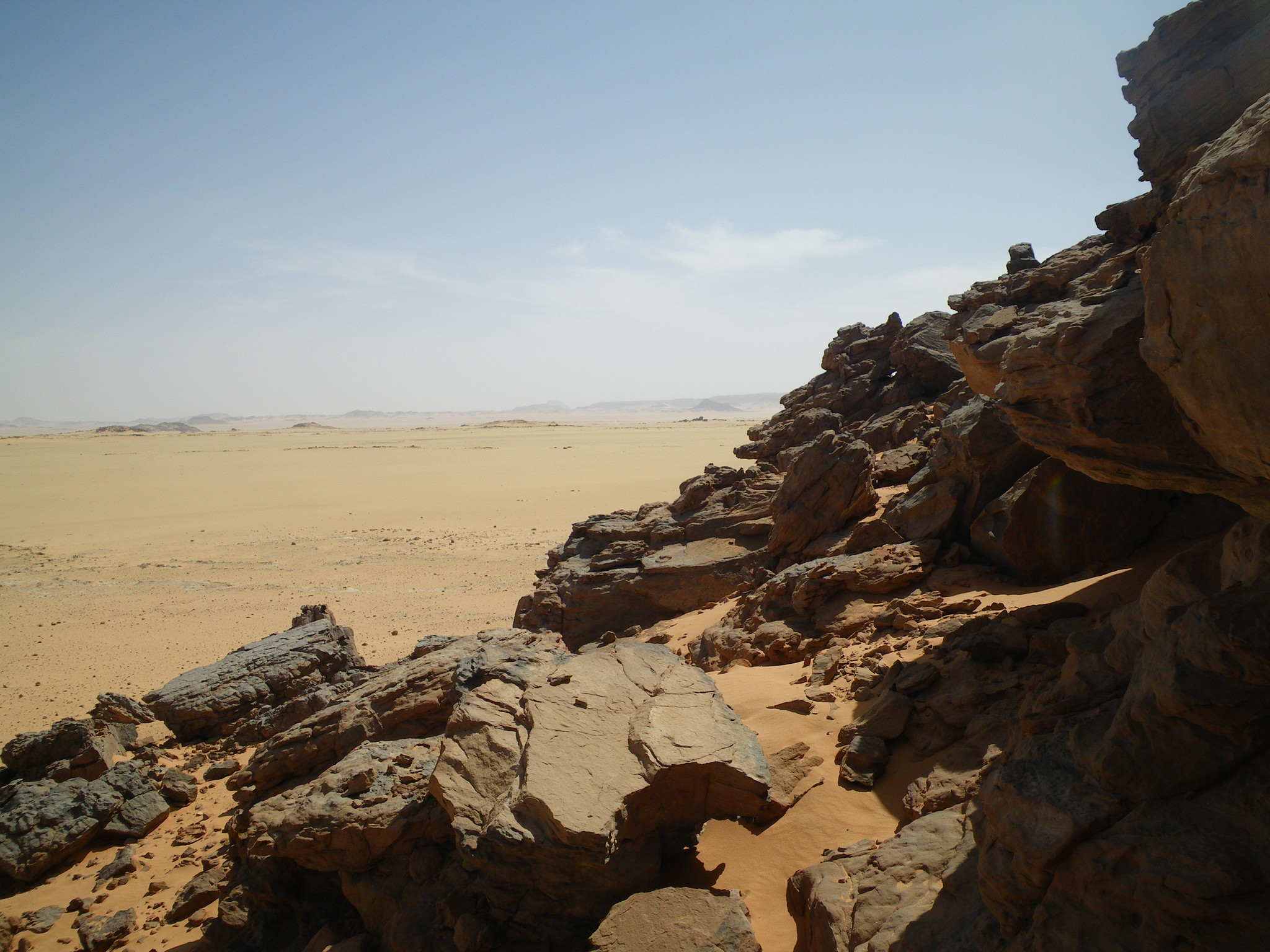
Tassili Corridor
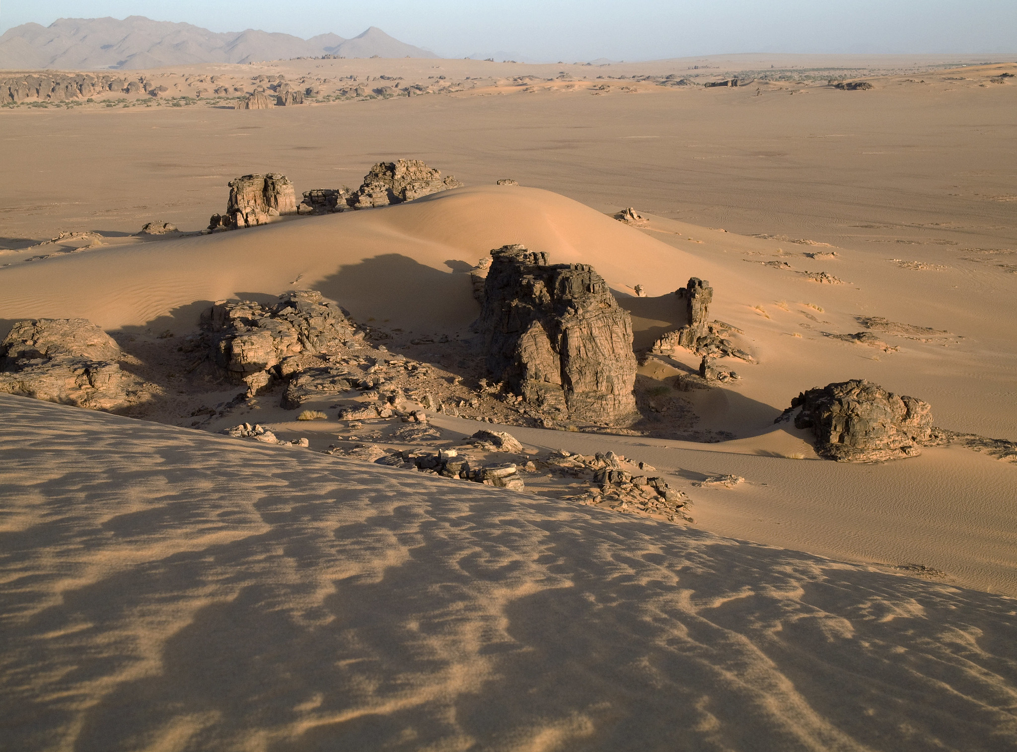
This remote Algerian route leads travelers through the Tassili n’Ajjer plateau, home to one of the world’s most significant collections of prehistoric rock art. The drive follows ancient wadis between towering sandstone formations that have been carved by wind into natural arches and gravity-defying towers.
Local Tuareg guides point out hidden rock shelters containing paintings dating back 12,000 years, depicting a time when this harsh desert was a verdant savannah teeming with wildlife.
Like Travel Pug’s content? Follow us on MSN.
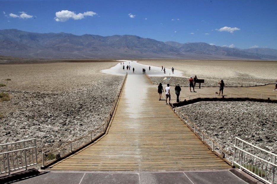
Chott el Djerid Crossing
Tunisia’s largest salt lake creates a surreal driving experience across what appears to be a vast, shimmering sea of salt crystals. The summer heat creates mirages so convincing that the horizon seems to ripple with nonexistent water, while winter rains transform sections into shallow pink-hued lakes.
The road bisecting this ancient lake bed passes through landscapes featured in the original Star Wars films, with several abandoned movie sets still visible from the route.
Siwa to Bahariya Back Route
This challenging track through Egypt’s Great Sand Sea requires serious 4×4 capability but rewards drivers with complete solitude among the world’s most perfect parallel dunes. The route follows a path known only to experienced Bedouin guides, connecting two historic oases through a sea of untouched sand waves.
Camping in this region offers night skies completely unspoiled by light pollution, with shooting stars and the Milky Way creating natural celestial performances each night.
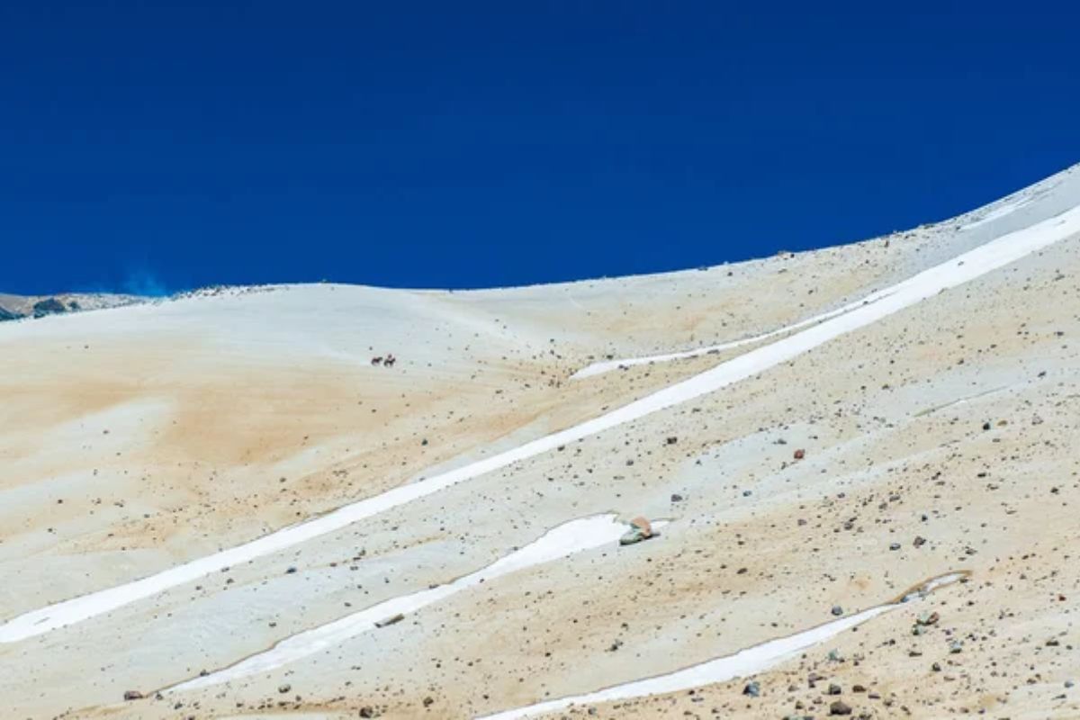
Hoggar Mountains Circuit
Algeria’s Hoggar Mountains rise dramatically from the Sahara like a fortress of black volcanic rock, creating one of North Africa’s most spectacular landscapes. The unmarked route circles the base of these 9,000-foot peaks, passing through valleys dotted with precariously balanced rocks and ancient tombs of Tuareg nobles.
The region’s unique ecosystem harbors specialized plants found nowhere else on Earth, including rare desert cypresses that survive in hidden mountain valleys.
Like Travel Pug’s content? Follow us on MSN.
Great Libyan Sand Sea Traverse
This epic route across Libya’s portion of the world’s largest sand sea follows desert pistes once used by the Long Range Desert Group during World War II. The journey passes between massive star dunes that can reach heights of 500 feet, their perfect symmetrical shapes constantly reformed by seasonal winds.
Ancient lake beds punctuate the route, where travelers occasionally discover prehistoric stone tools and fossilized remains of crocodiles and hippos from a wetter era.
Gilf Kebir Approach
Egypt’s most remote natural wonder, the Gilf Kebir plateau, rises abruptly from the desert floor like a massive fortress wall stretching for over 60 miles. The unmarked approach route winds between isolated granite outcrops and past the Cave of Swimmers made famous in the film ‘The English Patient,’ where ancient rock art depicts people swimming in what is now one of Earth’s driest places.
Each turn in this route reveals increasingly dramatic geology culminating in the plateau’s sheer cliffs.
Ennedi Massif Circuit
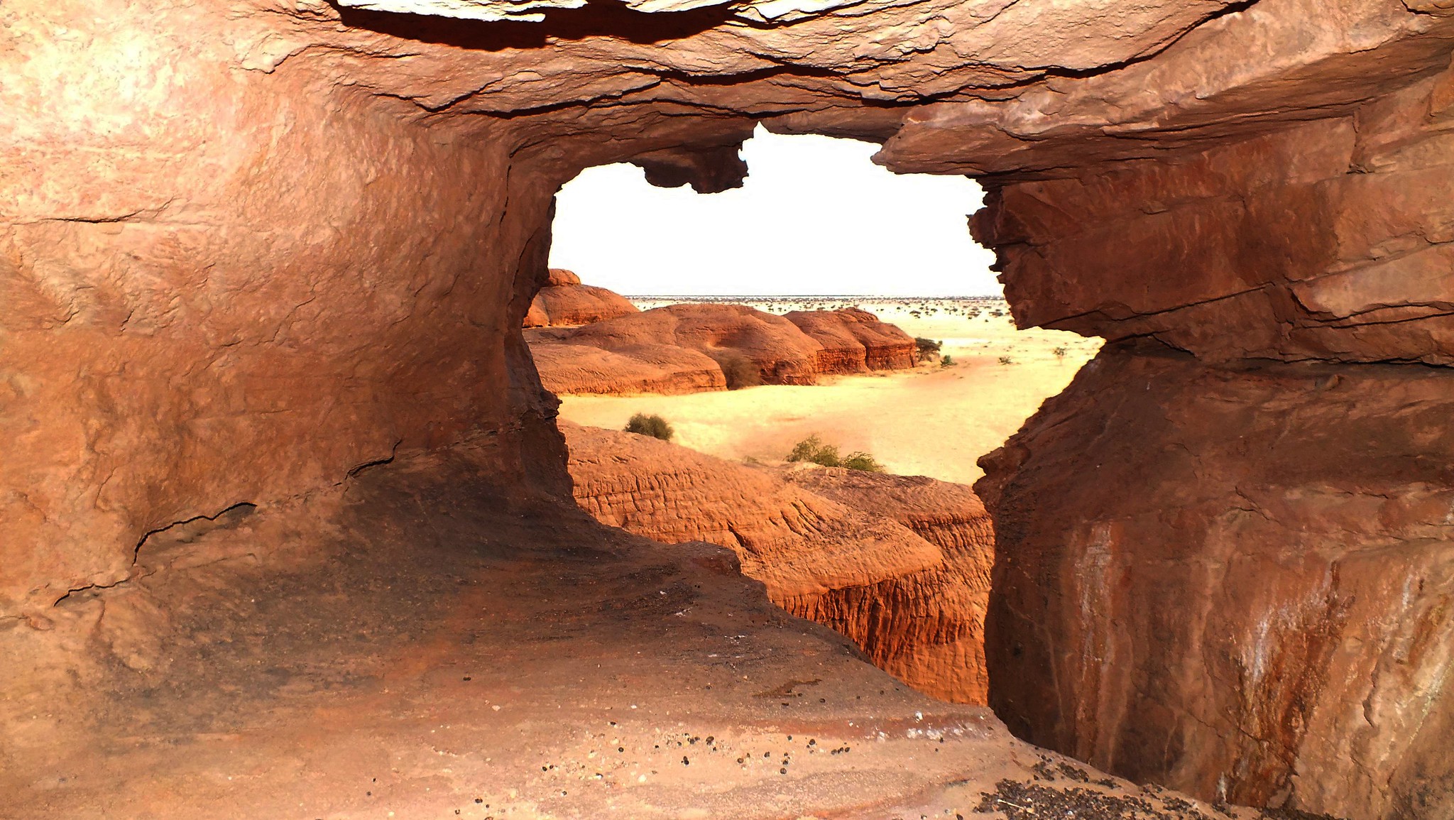
This challenging route in northeastern Chad loops around ancient sandstone formations eroded into natural arches, pillars, and towers reminiscent of a natural sculpture garden. The road passes through narrow gorges where permanent pools of water support crocodiles that have adapted to desert conditions over thousands of years of increasing aridity.
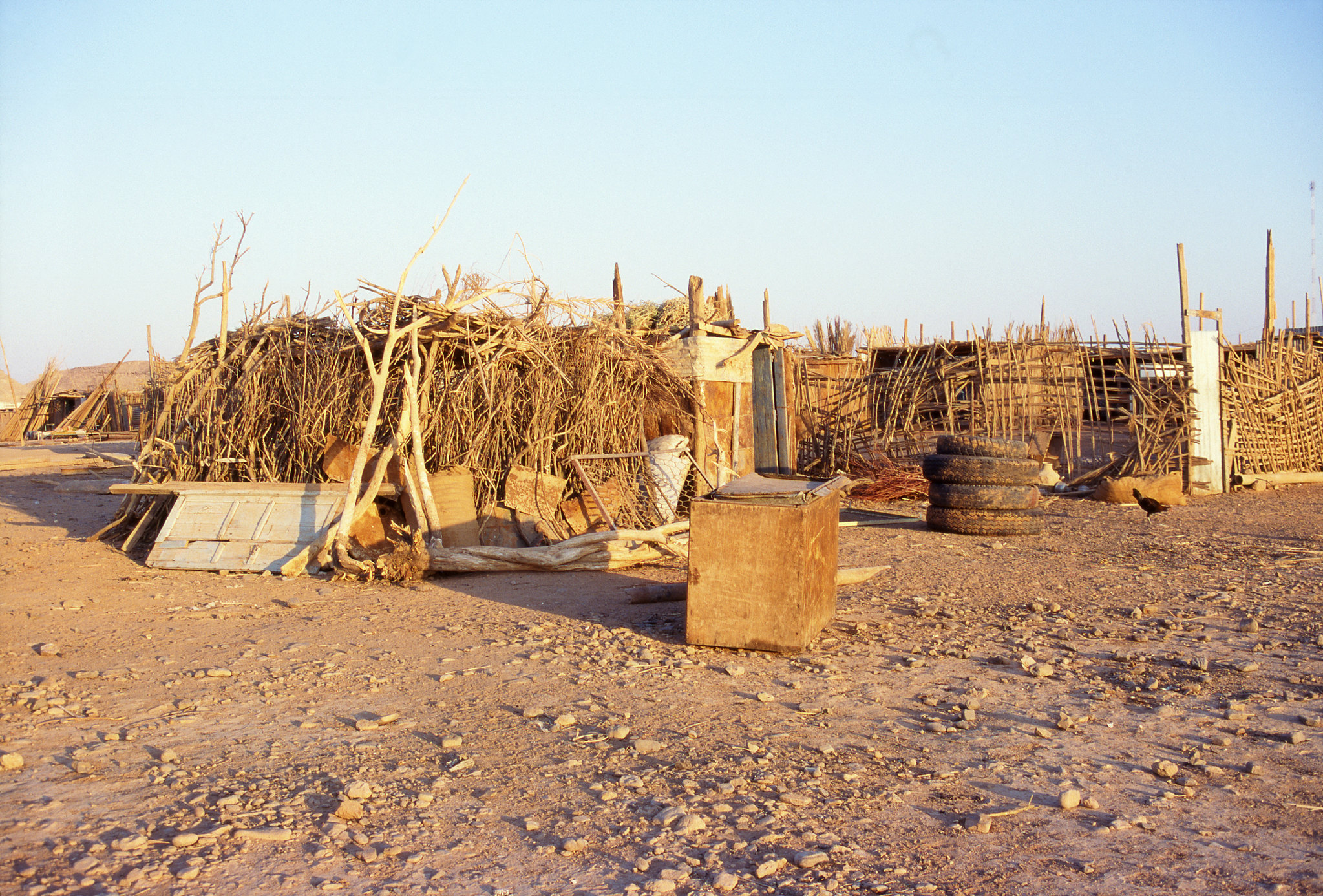
Despite the harsh terrain, the route reveals occasional rock shelters where semi-nomadic Teda people maintain traditions virtually unchanged for centuries.
Like Travel Pug’s content? Follow us on MSN.
Tenere Tea House Route

This unmarked piste across Niger’s Tenere region follows a route where a single acacia tree once stood as the most isolated tree on Earth, serving as a navigation point for caravans. The journey crosses vast plains of gravel and compact sand where the horizon stretches uninterrupted in every direction, creating an almost hallucinatory sense of infinity.
Scattered along the route are abandoned colonial-era tea houses where travelers can camp among the ruins.
Jebel Uweinat Circuit

This extremely remote mountain at the junction of Egypt, Libya, and Sudan requires special permits but rewards adventurers with pristine desert wilderness. The circular route around the mountain passes through valleys containing prehistoric rock engravings of giraffes and cattle, a testament to the region’s wetter past.
The mountain creates its own microclimate that occasionally produces sudden localizing rainstorms, resulting in brief, spectacular flowering events in this otherwise hyperarid environment.
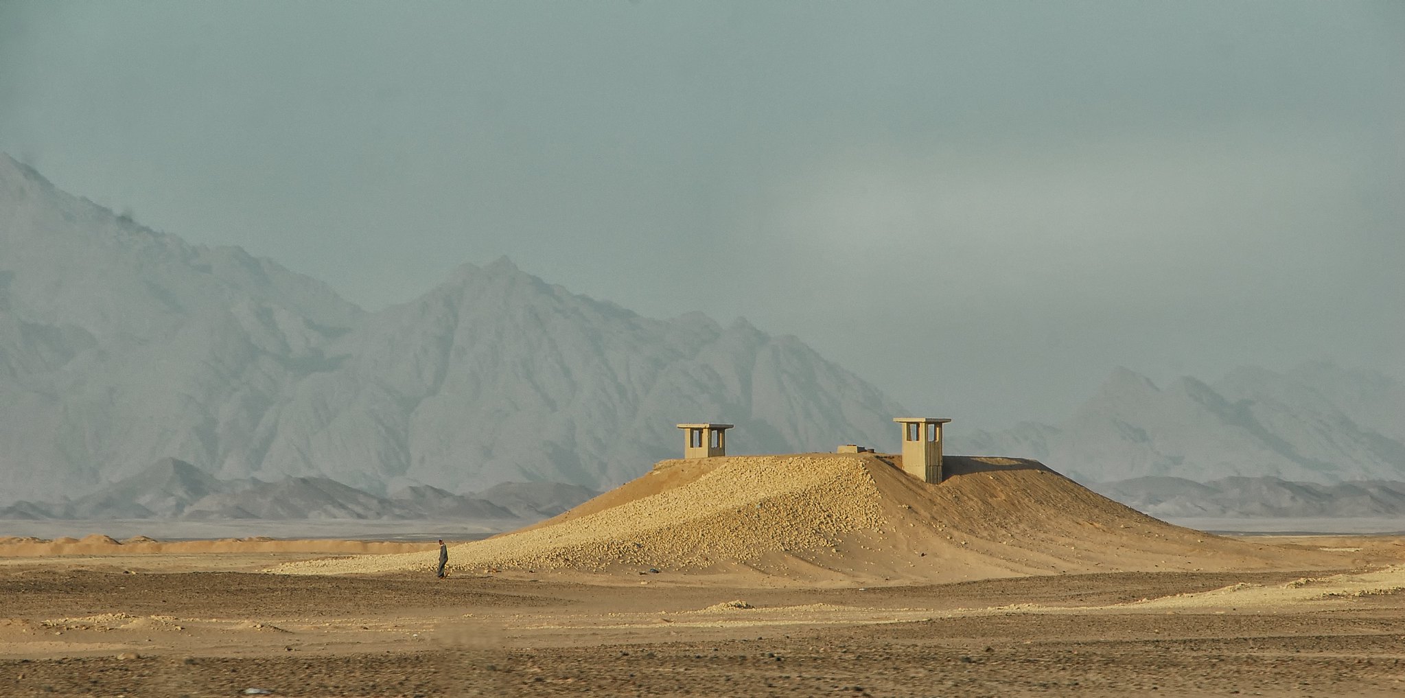
Qattara Depression Access Route
This challenging track descends into Egypt’s Qattara Depression, the second-lowest point in Africa at 436 feet below sea level. The route winds past World War II battlefield remnants where British and German forces once clashed before reaching a landscape of salt marshes and quicksand that has remained largely unchanged since prehistoric times.
The depression’s unique barometric conditions create constant winds that sound like distant voices, contributing to the area’s long history of mysterious folklore.
Like Travel Pug’s content? Follow us on MSN.
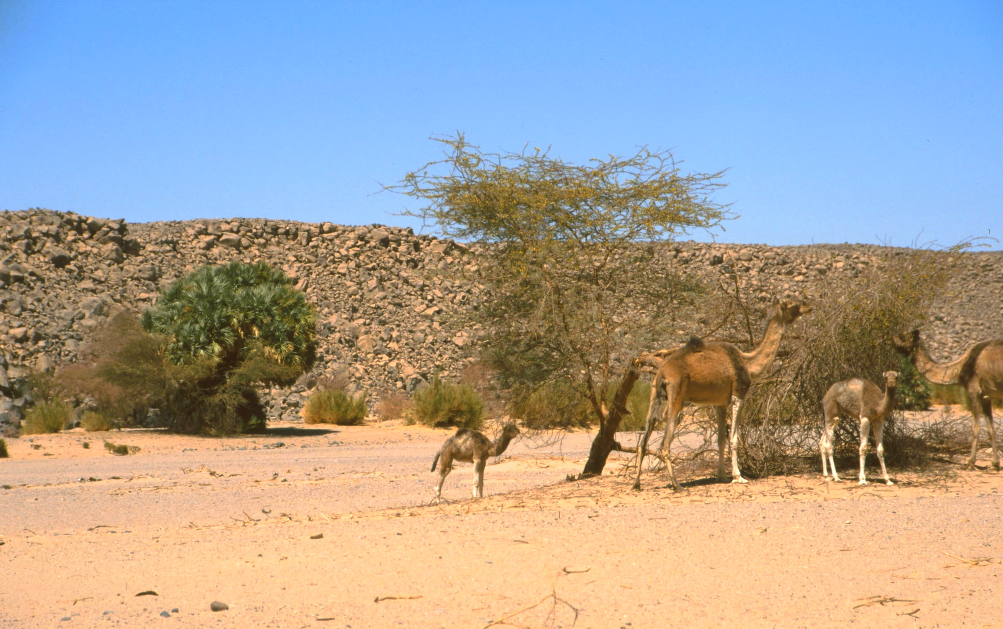
Mauritanian Iron Ore Railway
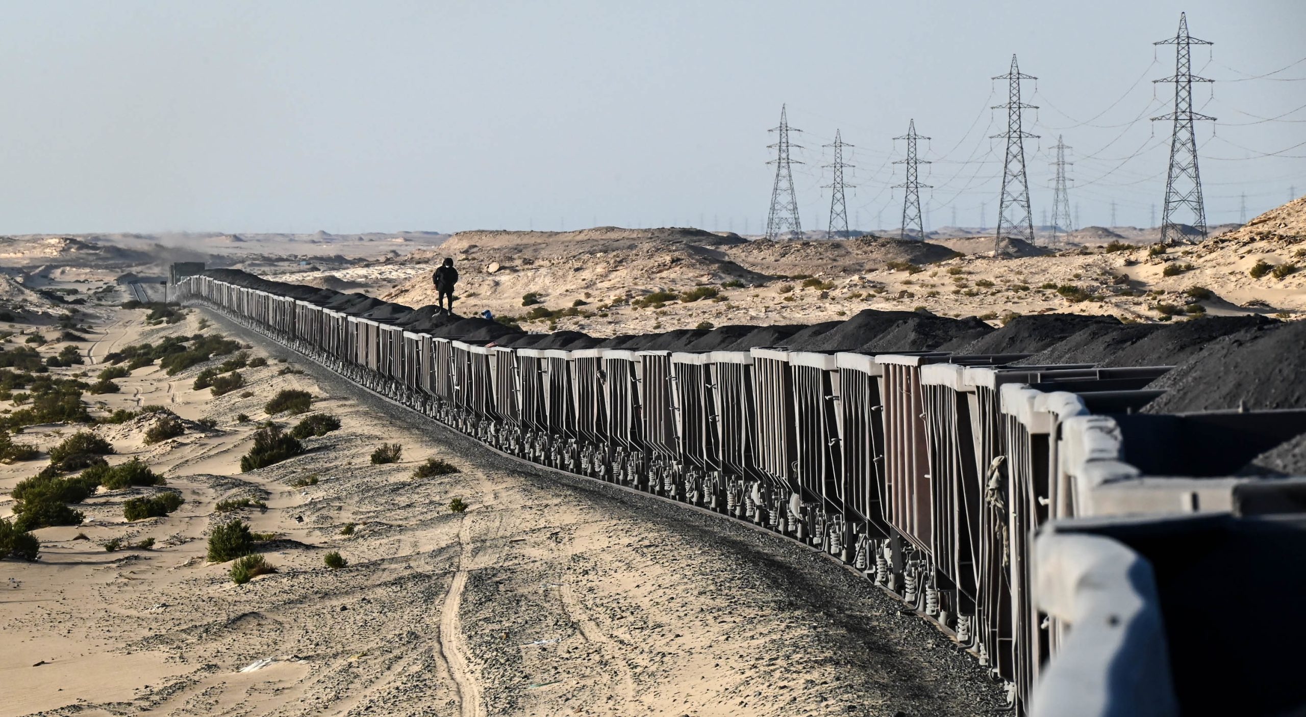
Though not technically a road, this 437-mile railway through the Sahara allows adventurous travelers to ride atop iron ore cars from Nouadhibou to Zouerat, cutting through otherwise inaccessible desert landscapes. The journey passes through regions of multicolored dunes that shift from reds to whites to golds, while sheltered wadis occasionally reveal ancient rock carvings visible only from the train route.
Night travel on these open-top cars offers unparalleled stargazing opportunities in one of Earth’s least light-polluted regions.
Tichitt to Walata
This ancient trade route in eastern Mauritania connects two UNESCO World Heritage towns through a landscape of sandstone escarpments and gravel plains. The barely marked piste passes abandoned medieval settlements where crumbling stone structures reveal sophisticated desert architecture developed over centuries of Saharan trade.
Sections of the route follow the shoreline of a prehistoric lake that once covered much of the region, with occasional fossils visible along the roadside.
Egyptian Military Road
This seldom-traveled route follows an old military track connecting the Nile Valley to the Libyan border through a landscape of black volcanic mountains and white chalk valleys. The journey passes Gebel Uweinat, a mountain holding one of the Sahara’s most important concentrations of rock art depicting a time when elephants, giraffes, and crocodiles inhabited what is now one of Earth’s driest regions.
Archaeological sites along the route reveal artifacts ranging from Neolithic stone tools to Roman-era glassware.
Like Travel Pug’s content? Follow us on MSN.
Fint Oasis Circuit
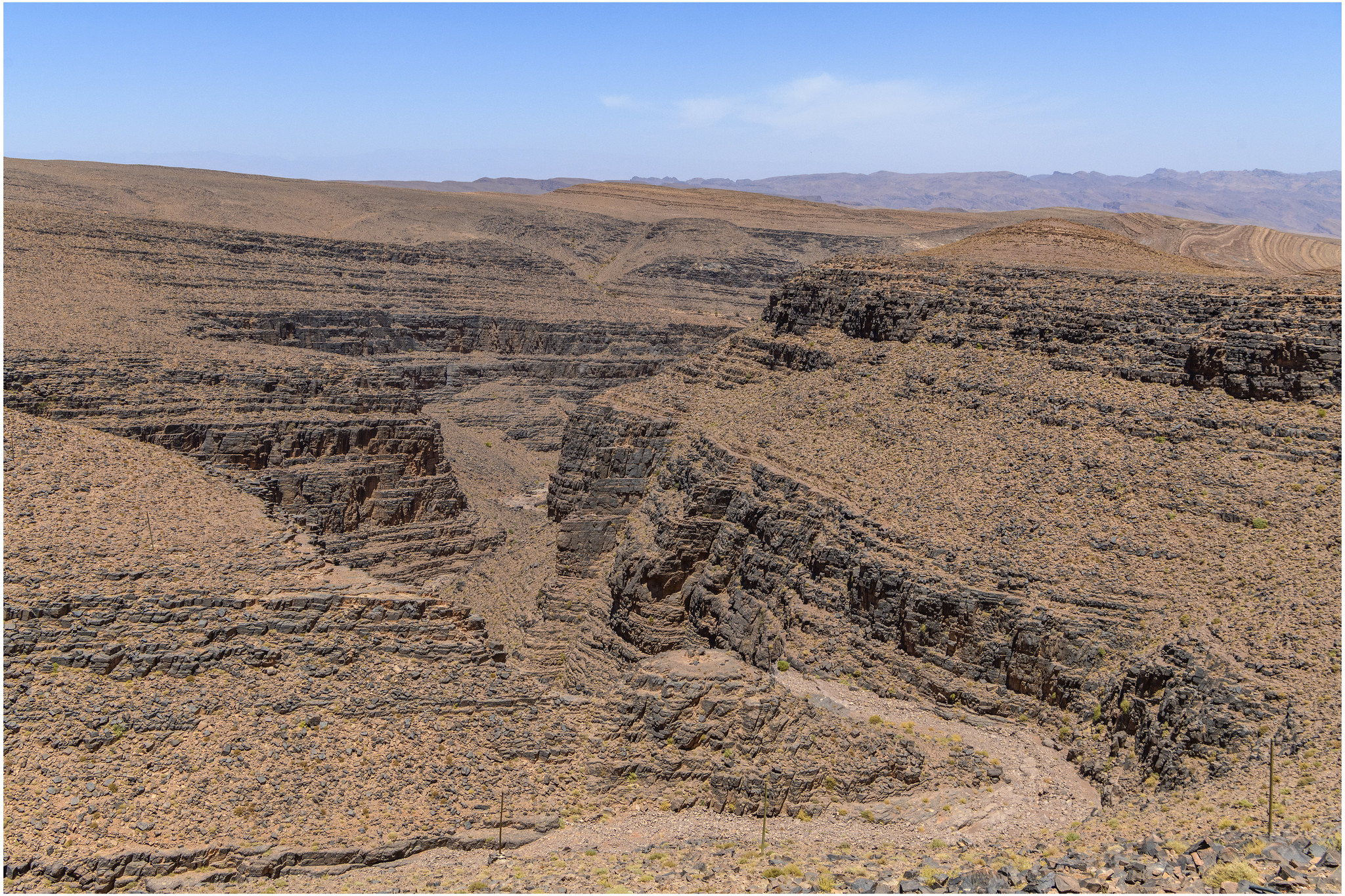
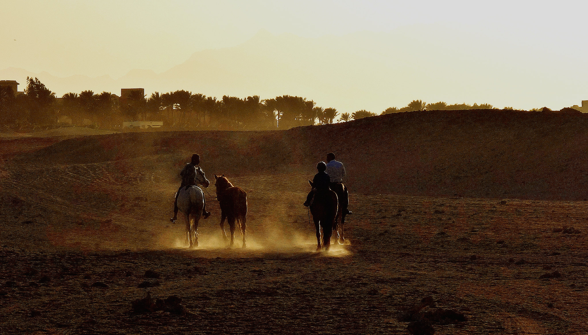
This lesser-known route south of Morocco’s Atlas Mountains connects a string of palm-fringed oases through a landscape of red stone canyons and table mountains. The road follows ancient waterways that flow only after rare desert storms, passing abandoned kasbahs whose mud-brick construction blends seamlessly with the surrounding earth.
Local Berber settlements welcome travelers with traditional mint tea ceremonies that have remained unchanged for centuries despite the encroaching modern world.
Tibesti Approach
This challenging route to Chad’s Tibesti Mountains crosses some of the most remote terrain on Earth, where volcanic peaks rise dramatically from the surrounding desert plains. The unmarked track passes between obsidian fields created by ancient lava flows and hot springs where steam rises eerily from the desert floor.
The journey culminates at Trou au Natron, a stunning crater with walls rising 3,300 feet above a blindingly white sodium flat dotted with small volcanic cones.
Kufra to Jalu
This historic Libyan desert route follows ancient paths once used by the Senussi order, a Sufi religious group that controlled much of the Saharan trade in the 19th century. The journey crosses vast regions of serir, or stone desert, where the ground is covered with dark, polished pebbles creating a natural mosaic that stretches to the horizon.
Isolated oases along the route contain date palm gardens surrounding spring-fed pools where the water has been flowing continuously since prehistoric times.
Like Travel Pug’s content? Follow us on MSN.
Djanet to Tamanrasset
This Algerian desert piste connects the Tassili plateau to the Hoggar Mountains through varied terrain, including sand seas, volcanic plains, and ancient riverbeds. The route passes the geological wonder of Tin Akachaker, where sandstone formations have eroded into a forest of stone pillars resembling a petrified city.
Local Tuareg guides point out hidden caves containing some of the finest examples of prehistoric Saharan art, showing a continuous cultural record spanning over 10,000 years.
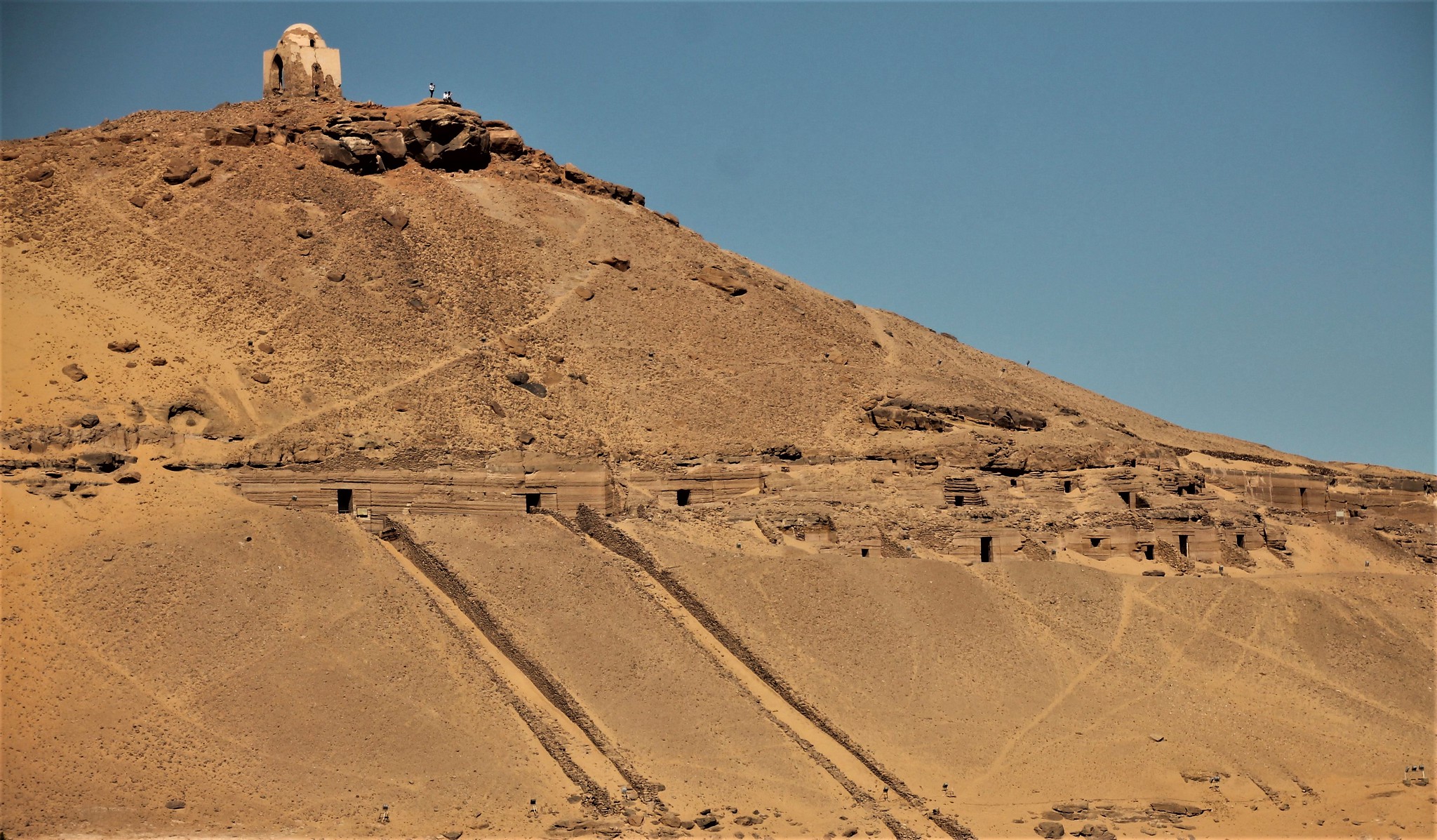
Kharga to Dakhla
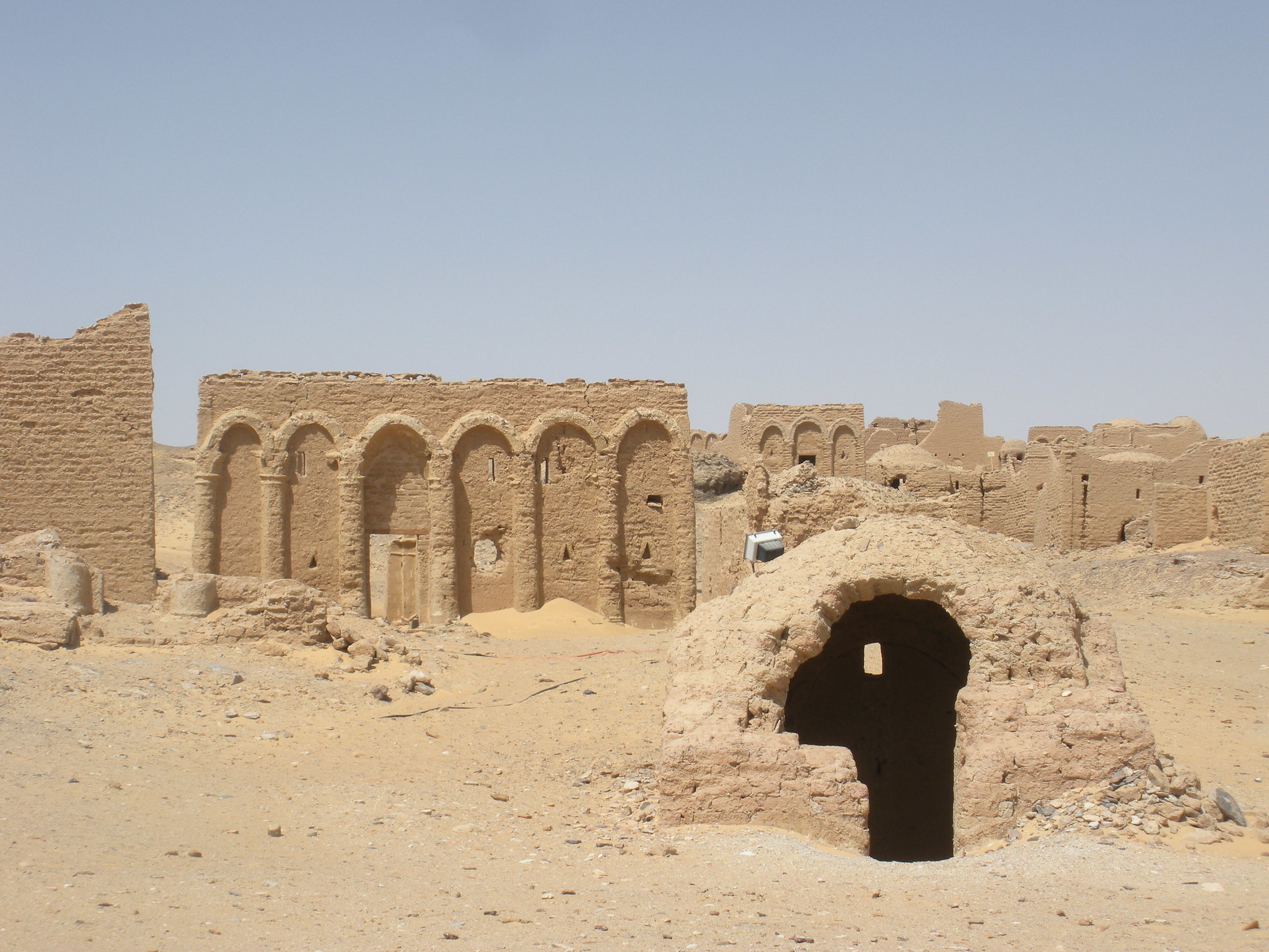
This Egyptian route between two major Western Desert oases follows an ancient path once protected by a string of Roman fortresses, several of which still stand as testament to imperial ambitions in the deep desert. The journey crosses regions where prehistoric lake beds occasionally reveal fossils of marine creatures, evidence that this hyperarid landscape was once submerged beneath an ancient sea.
Windswept yardangs and sand formations sculpted by centuries of erosion create a landscape resembling abstract sculptures.
Wadi Halfa to Abu Simbel
This Sudanese-Egyptian border route skirts the shores of Lake Nasser, formed when the Aswan High Dam flooded vast portions of ancient Nubia. The little-traveled track passes partially submerged archaeological sites visible only during periods of low water, revealing glimpses of ancient temples and settlements sacrificed for modern water management.
The journey culminates at Abu Simbel, where massive statues of Ramses II watch over what was once a dusty desert valley, now transformed into a vast inland sea.
Like Travel Pug’s content? Follow us on MSN.
North Africa’s Desert Frontiers
These routes represent the last true frontiers of North African exploration, where adventurous travelers can experience landscapes that have changed little since ancient caravans first crossed the Sahara. Unlike the increasingly commercialized desert experiences offered in tourist centers, these journeys require preparation, respect for local cultures, and a genuine desire to understand complex desert environments.
As climate change and development continue to transform North Africa, these undiscovered routes offer increasingly rare glimpses into one of Earth’s most challenging yet beautiful environments—a world of extremes where survival has always depended on reading the subtle language of the desert itself.
More from Travel Pug

- 20 Towns Built for One Purpose That Were Later Abandoned
- 15 Hidden Spots in Disney World’s Magic Kingdom Most Visitors Miss
- 20 Once-Popular Beach Towns That Are Now Ghostly Empty
- 15 Canyons in the U.S. That Are Just as Stunning as the Grand Canyon
- 10 Under-the-Radar Mountain Towns That Are Both Affordable and Beautiful
Like Travel Pug’s content? Follow us on MSN.