

Canada’s vast landscape and remote wilderness regions present unique challenges that standard travel apps aren’t well-equipped to handle. You could drive hours without cell coverage, be caught in surprise weather changes that leave stranded drivers who didn’t plan, or be miles off the next gas station with no notion of where to refuel.
The correct technology makes all the difference between an epic quest and an actual emergency when you’re traveling in a nation that has some provinces as big as most countries in Europe.
Sophisticated travelers load their apps and gadgets specially designed for Canada’s challenging environment, ranging from offline navigation systems that function in dead spots to emergency comms gadgets that can call for assistance when regular phones do not work.
Below is a compilation of 14 travel tech gadgets that will transform your Canadian road trip from a perilous adventure into a confident one.
Gaia GPS
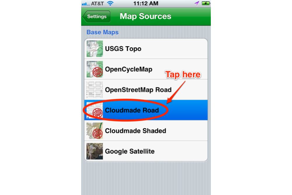
This professional-grade navigation app downloads detailed topographic maps that work completely offline, making it essential for Canada’s remote regions where cell towers are hundreds of miles apart.
The app includes trail maps, campground locations, and even hunting unit boundaries that help you understand exactly where you are in relation to populated areas. Unlike standard navigation apps, Gaia GPS shows elevation changes, water sources, and terrain features that become crucial when you’re traveling through mountainous regions or vast prairie expanses.
Weather Network
Environment and Climate Change Canada powers this comprehensive weather app that provides hyperlocal forecasts essential for Canadian road trip planning. The app includes severe weather alerts, road condition updates, and detailed hourly forecasts that help you avoid driving into blizzards or thunderstorms.
Canadian weather can change dramatically within hours, and this app’s radar imagery shows storm systems approaching from hundreds of miles away.
Like Travel Pug’s content? Follow us on MSN.
GasBuddy
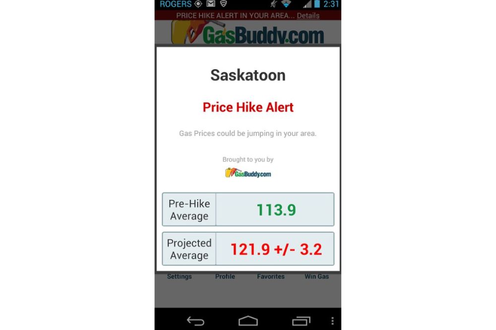
Fuel costs add up quickly on Canadian road trips, where distances between stations can exceed 200 miles, and this app helps you find the cheapest gas along your route. The app includes diesel prices for RV travelers and shows which stations are currently open, preventing you from arriving at closed pumps in remote areas.
Community reporting keeps fuel prices current and identifies stations with amenities like restrooms, food, or mechanic services.
What3Words
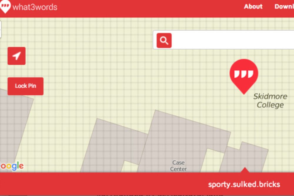
This location system divides the entire world into 10-foot squares and assigns each one a unique three-word address, making it invaluable for emergencies in areas without street addresses. Canadian emergency services increasingly use What3Words to locate stranded travelers in remote areas where traditional GPS coordinates can be difficult to communicate.
The app works offline and can pinpoint your exact location even in dense forests or mountain valleys where landmarks are scarce.
Like Travel Pug’s content? Follow us on MSN.
Roadtrippers
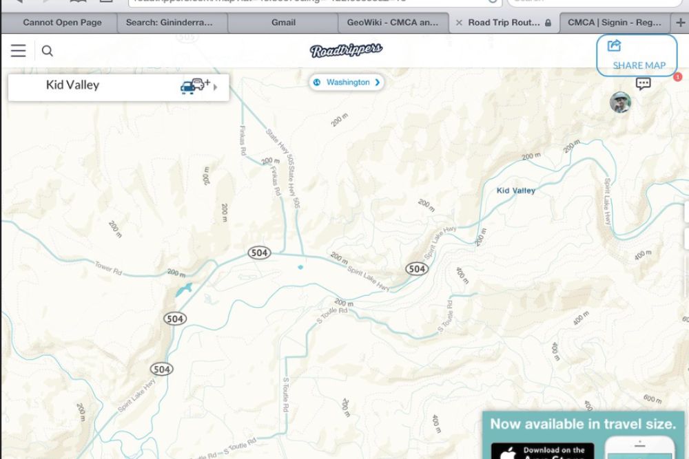
This route planning app specializes in discovering interesting stops and attractions along your Canadian journey while calculating realistic driving times. The app includes quirky roadside attractions, scenic viewpoints, and local restaurants that you’d never find with basic navigation tools.
Roadtrippers accounts for elevation changes and speed limits that significantly affect travel times in mountainous regions, helping you plan realistic daily driving distances.
ArriveCAN
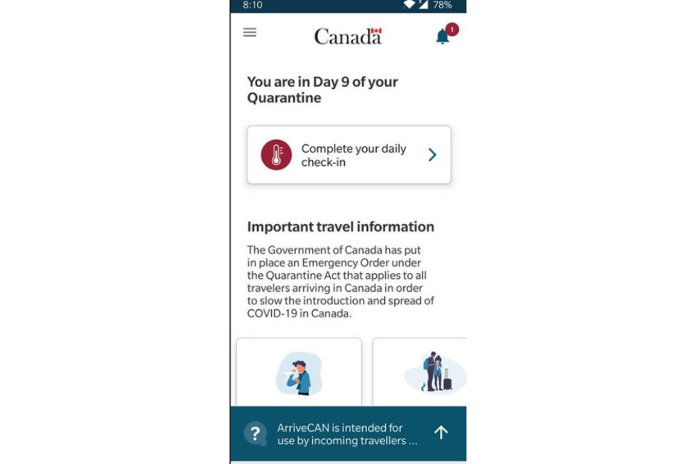
The Canadian government’s official border app streamlines customs declarations and reduces wait times at border crossings, making it essential for travelers entering from the United States. The app allows you to submit customs information up to 72 hours before arrival and provides current border wait times at different crossing points.
Processing customs declarations electronically often qualifies you for faster lanes and reduces face-to-face interactions with border agents.
Offline Maps by Maps.me
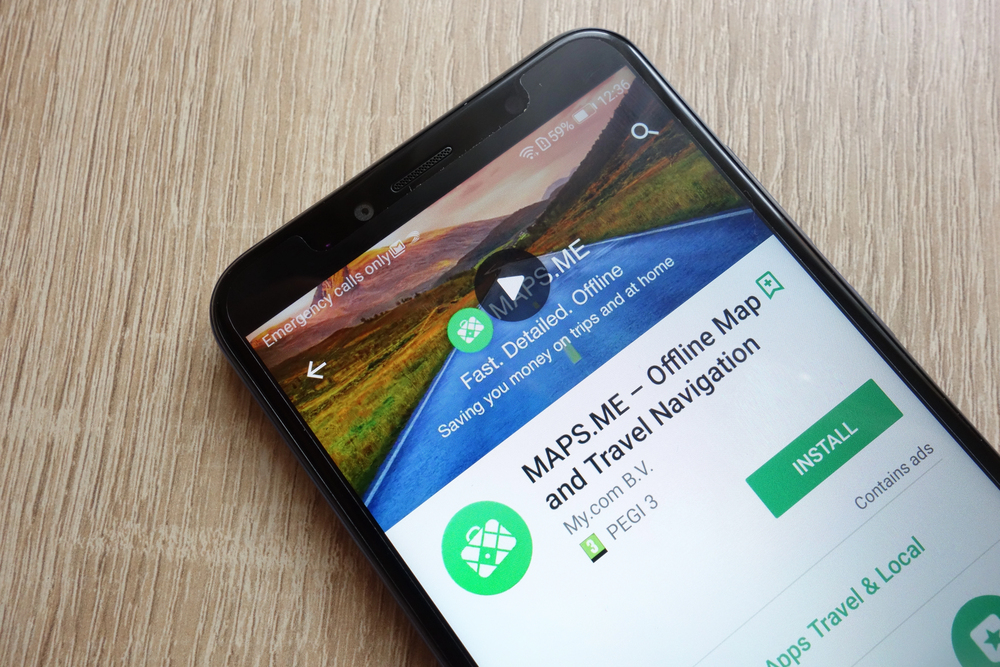
This app downloads detailed street maps for entire provinces, ensuring you can navigate even when cell service disappears for hundreds of miles. The maps include points of interest, business hours, and user reviews that help you find services in small towns where options are limited.
Unlike data-hungry navigation apps, Maps.me works entirely offline and doesn’t drain your battery by constantly searching for cellular signals.
Like Travel Pug’s content? Follow us on MSN.
Emergency SOS
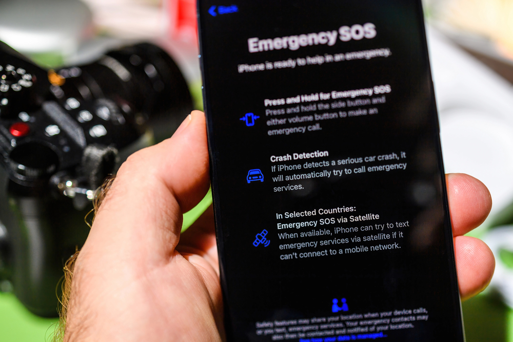
Built into modern smartphones, this feature automatically contacts emergency services and shares your location when you’re in genuine distress. The system works with satellite networks in areas without cellular coverage, providing a crucial safety net in Canada’s remote wilderness areas.
Emergency SOS can contact local RCMP detachments, search and rescue teams, or medical services, depending on your specific location and emergency type.
The Weather Channel
Radar imagery and severe weather tracking help you avoid dangerous driving conditions that develop quickly in Canada’s variable climate. The app provides detailed winter weather information, including freezing rain warnings, visibility forecasts, and wind chill calculations that affect driving safety.
Canadian winters can create whiteout conditions or ice storms that make driving impossible, and accurate weather data helps you time your travel safely.
Campendium
This camping app focuses specifically on North American campgrounds, providing detailed information about facilities, reservation requirements, and user reviews. The app covers everything from luxury RV resorts to primitive backcountry sites, with filtering options that help you find exactly what your setup requires.
Canadian campgrounds often book solid during summer months, and Campendium’s reservation links help you secure sites before they fill up.
Like Travel Pug’s content? Follow us on MSN.
Waze

Community-driven traffic and hazard reporting make this navigation app particularly valuable for real-time road conditions on Canadian highways. Users report everything from moose sightings and construction delays to sudden weather events that affect driving conditions.
The app’s route optimization helps you avoid traffic congestion in major cities like Toronto or Vancouver, where highway construction can add hours to your journey.
Spotify Podcasts (formerly Anchor)

This podcast app features offline downloading capabilities, allowing you to build an entertainment library before entering areas with poor connectivity. Canadian road trips often involve driving for hours through areas with limited radio reception, making downloaded content essential for sanity.
The app’s sleep timer and speed controls help you manage content consumption during long driving days.
Google Translate

Offline language packs for French become essential when traveling through Quebec, where English signage may be limited or nonexistent. The app’s camera translation feature can instantly translate road signs, menus, and emergency information in real-time.
Even basic French phrases can significantly improve your experience in Quebec’s smaller communities, where English speakers may be scarce.
Like Travel Pug’s content? Follow us on MSN.
VSCO

Professional photo editing tools help you capture and enhance the stunning landscapes you’ll encounter on Canadian road trips. The app includes filters and editing tools specifically designed for outdoor photography, helping you process images even when you don’t have access to a computer.
Canada’s dramatic scenery deserves better than basic phone camera processing, and VSCO’s tools help you create images that match what your eyes actually see.
Where digital highways meet endless roads

These technology gadgets mark the progression of road trip planning from paper guidebooks and maps to high-tech systems that can, quite literally, save your life in case of emergencies. Canada’s expansive natural landscape and volatile weather patterns call for more than rudimentary travel apps—they call for specialized tools developed for a nation where assistance may be hours away and temperatures can shift from nice to hazardous in a matter of minutes.
The computer in your pocket today offers security blankets and amenities that earlier generations of Canadian road trippers never dreamed of, turning what was once a harrowing quest into a reachable adventure. When properly equipped with the correct digital tools, Canada’s famous road trip routes become quests to explore rather than odysseys to endure.
Like Travel Pug’s content? Follow us on MSN.
More from Travel Pug

- 20 Best Beach Towns in the Carolinas
- 13 Destinations Where Tourists Regularly Regret Their Trip
- 20 Things You Actually Get in First Class
- 20 Small Airports With Aviation Museums
- 20 Places in the U.S. That Are Perfect for a Reset Trip
Like Travel Pug’s content? Follow us on MSN.