

Guidebooks love a scenic drive because it photographs well and fits neatly into an itinerary. What they tend to leave out is what actually happens to that same road on a Saturday in July, when a two-lane cliffside highway built for a fraction of its current traffic turns into a slow, honking parking lot with a view.
These are some of the most photographed drives in the world, and also some of the most congested.
Pacific Coast Highway, Big Sur, California
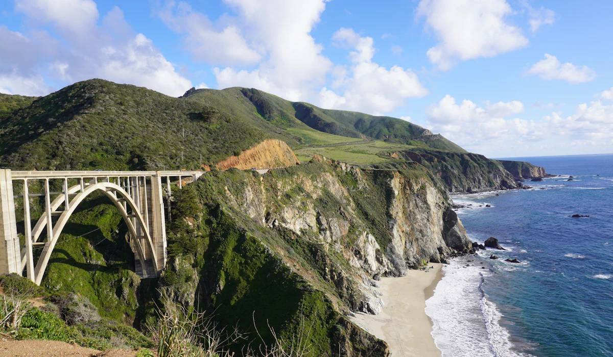
This narrow, cliff-hugging stretch of Highway 1 has no shoulder in many sections and only occasional passing lanes, meaning a single slow RV or a landslide closure can back up traffic for miles. Popular pullouts like Bixby Bridge often have cars parked along the highway shoulder itself when official lots fill, adding another layer of congestion to an already narrow road.
Blue Ridge Parkway, Virginia and North Carolina
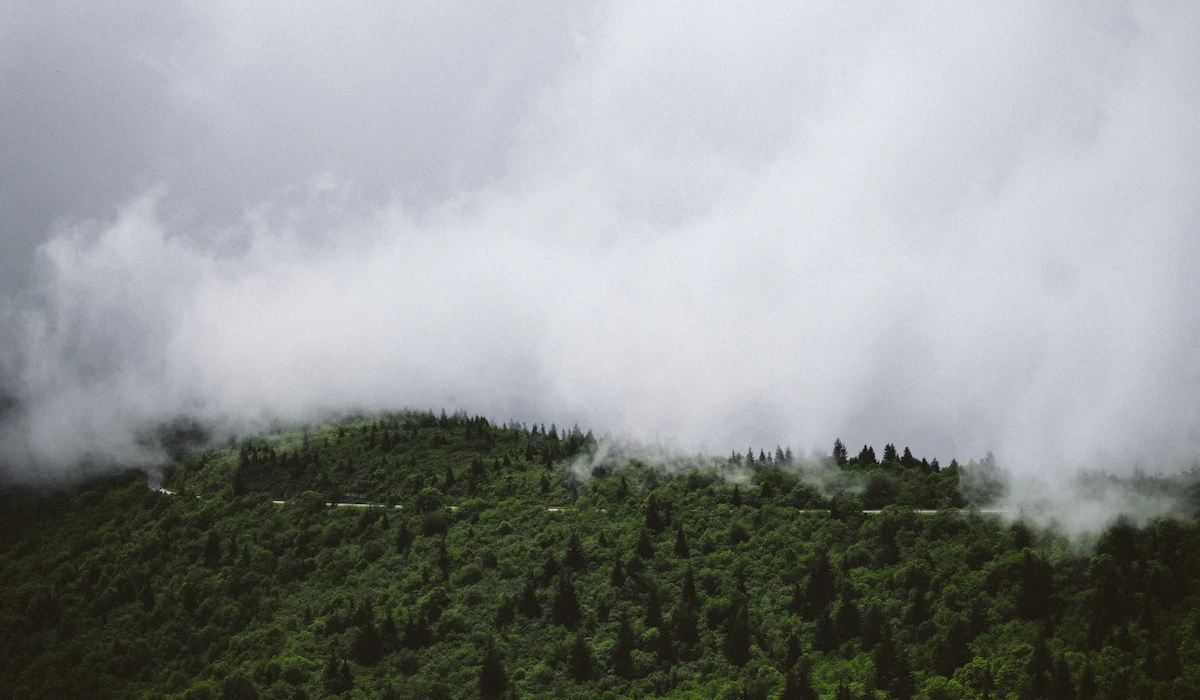
During peak fall foliage weekends in October, sections of this 469-mile parkway see traffic dense enough that overlooks fill within minutes of opening, with cars circling for a parking spot rather than driving the scenic route itself. The parkway’s 45 mph speed limit, sensible on an empty road, becomes a bottleneck when hundreds of cars are trying to slow further for photos at the same overlooks.
Great Ocean Road, Australia
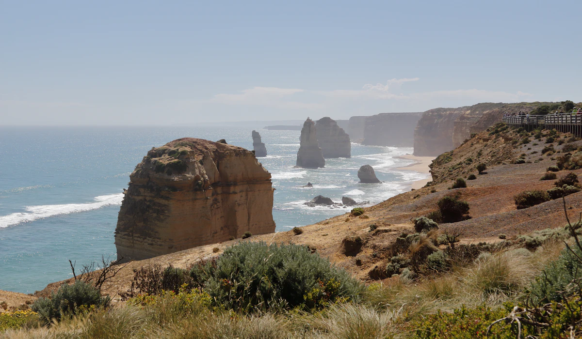
Tour buses running the popular Melbourne-to-Twelve Apostles route converge on the same handful of viewpoints at similar times of day, creating crowded parking and long waits at the most photographed lookouts even though the drive itself covers over 150 miles. The narrow, winding coastal sections have limited overtaking opportunities, so a single slow tour bus can set the pace for a long line of cars behind it.
Amalfi Coast Road, Italy
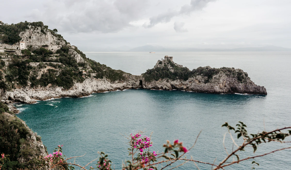
The SS163 was built in the 1800s for far smaller and slower traffic than the tour buses, rental cars, and scooters that now share its narrow switchbacks. Summer weekends can see the drive between Sorrento and Amalfi take several times longer than its map distance suggests, with buses frequently needing to reverse at tight curves to let oncoming traffic pass.
Going-to-the-Sun Road, Glacier National Park
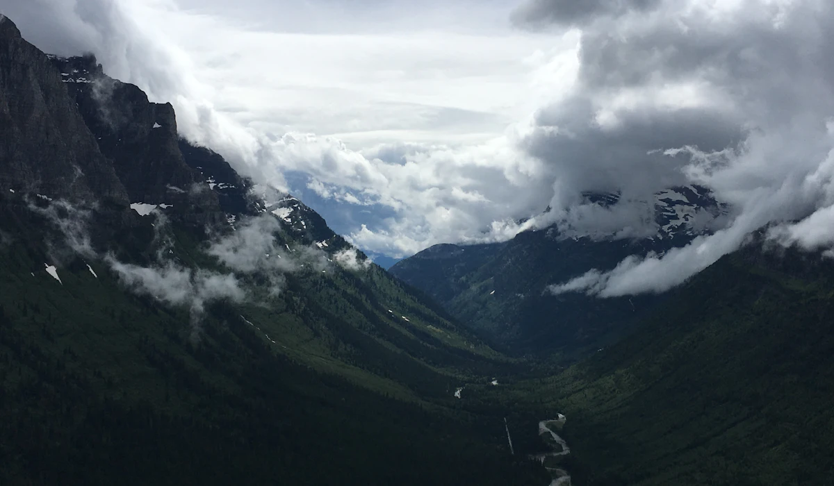
This 50-mile road through Glacier National Park has such limited parking at its most scenic points, including Logan Pass, that lots regularly fill before mid-morning during peak summer months. The park has introduced a vehicle reservation system for peak hours specifically because uncontrolled traffic had made the drive nearly unusable during the busiest weeks of summer.
Skyline Drive, Shenandoah National Park
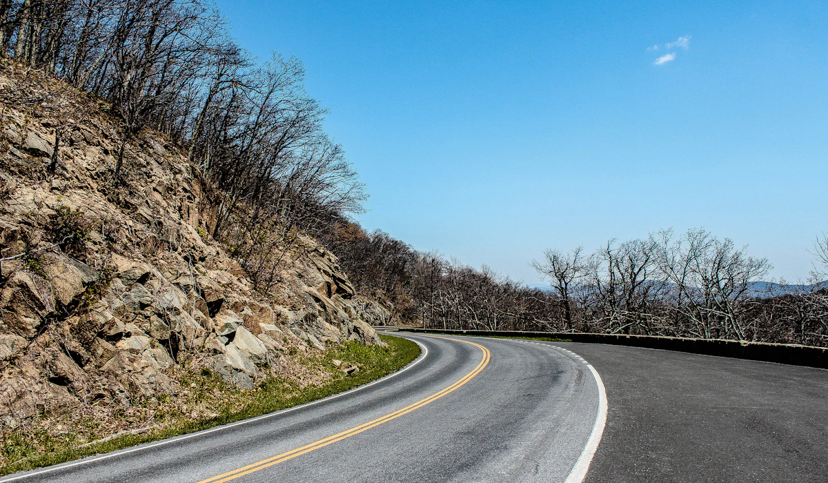
Running the length of Shenandoah National Park, this drive’s 35 mph speed limit and 75 overlooks encourage frequent stopping, which during peak leaf-peeping season in October creates a slow-moving line of cars stopping and starting in unison. Weekend traffic can turn what should be a three-hour drive into most of a day.
Golden Circle, Iceland
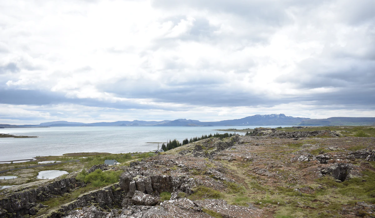
The most popular day-trip route from Reykjavik, connecting Thingvellir National Park, Geysir, and Gullfoss waterfall, sees such heavy tour bus traffic in summer that parking lots at each stop can be full well before midday. The route’s popularity has made it one of the few places in Iceland where a scenic drive can feel more like a commute.
Trollstigen, Norway
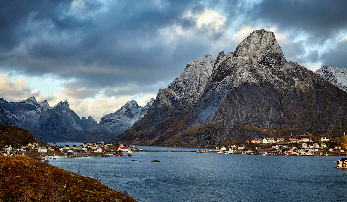
This dramatic mountain road, with eleven hairpin turns climbing a steep valley wall, narrows enough at points that oncoming buses and campervans regularly have to negotiate carefully past each other. The viewing platform at the top fills quickly with tour groups during the short summer season when the road is open at all.
Garden Route, South Africa
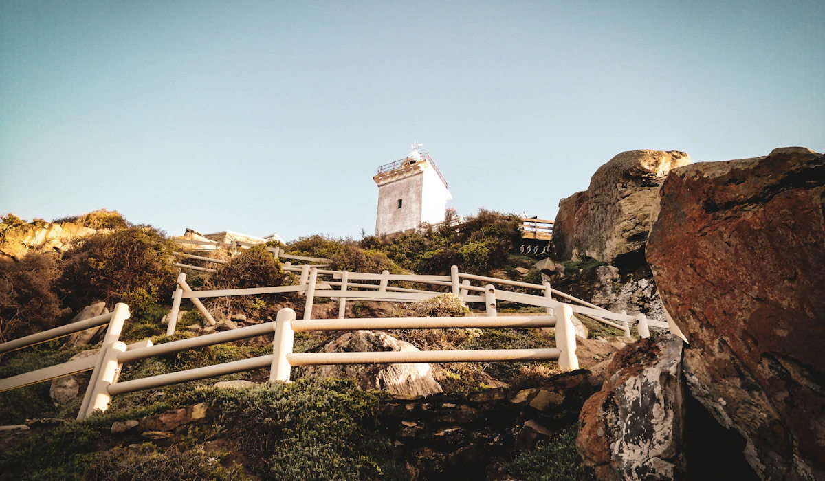
This coastal route through the southern coast of South Africa passes through towns that see significant seasonal traffic during the South African summer holiday period in December and January, when local vacationers add to international tourist traffic on roads with limited passing opportunities in their hillier sections.
Chapman’s Peak Drive, Cape Town
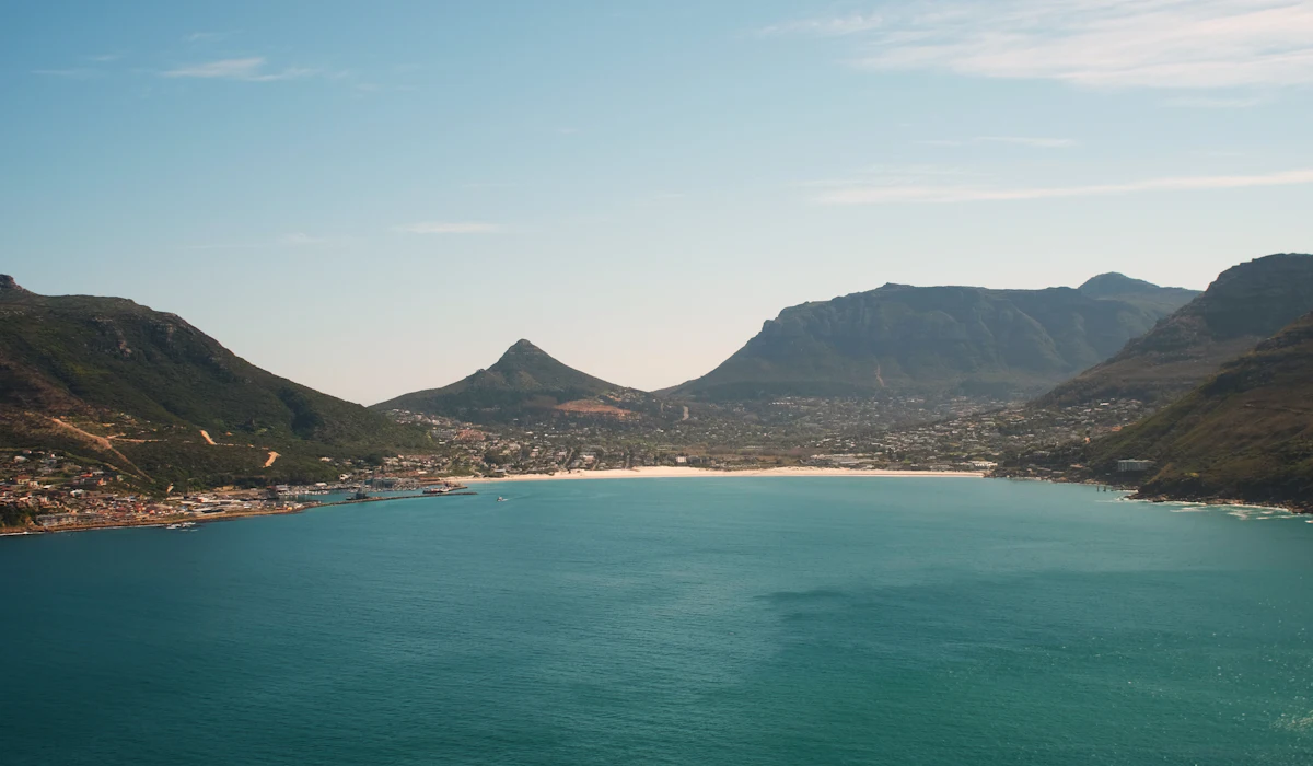
A toll road carved into a cliff face south of Cape Town, Chapman’s Peak Drive has a limited number of small parking pull-offs that fill almost immediately on clear weekend days, leaving many visitors driving the route without stopping at all. The road closes periodically for rockfall risk, which concentrates traffic further whenever it reopens.
Overseas Highway, Florida Keys
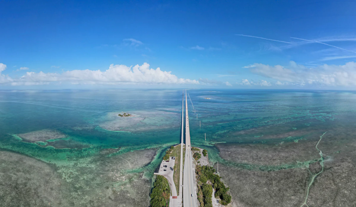
This roughly 100-mile route connecting the Florida Keys has only a single lane in each direction for much of its length, meaning any accident or slow-moving vehicle can back up traffic for the entire chain of islands. Weekend and holiday traffic heading toward Key West regularly turns the drive into a multi-hour crawl rather than the leisurely island-hopping trip it’s marketed as.
Icefields Parkway, Canada
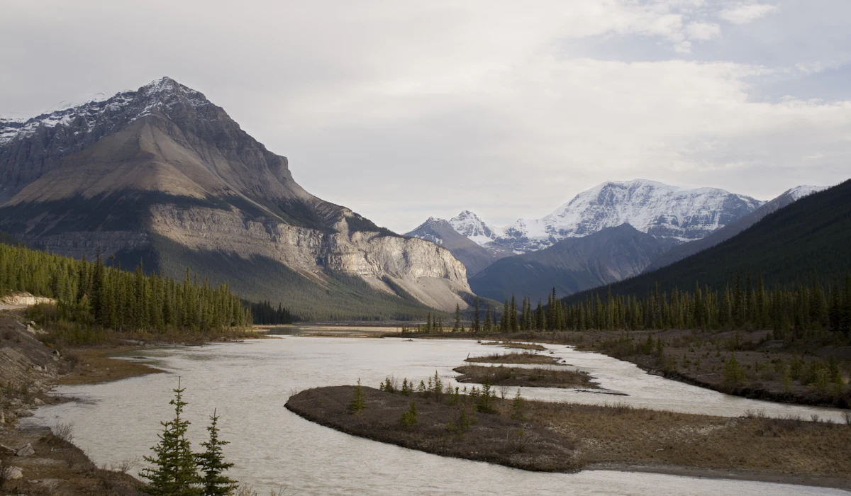
Connecting Banff and Jasper national parks, this drive’s most famous viewpoints, including the Columbia Icefield, have parking capacity far below summer demand, leading to informal roadside parking that further narrows an already two-lane highway. Wildlife sightings along the route can cause sudden traffic stops as drivers pull over unpredictably to photograph animals near the road.
Hana Highway, Maui
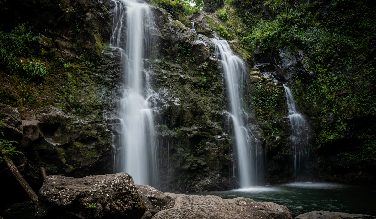
This roughly 65-mile road to Hana includes hundreds of curves and dozens of one-lane bridges, meaning traffic naturally bottlenecks at each crossing as drivers take turns. What might otherwise be a two-hour drive routinely takes half a day or more once waterfall stops and bridge queues are factored in.
17-Mile Drive, Pebble Beach, California
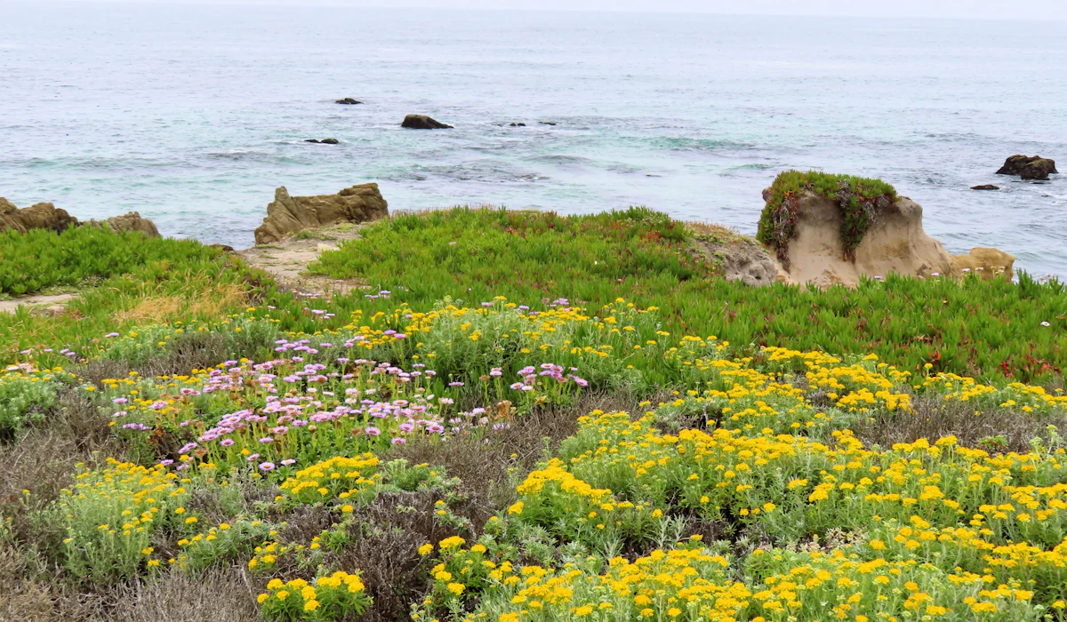
This private toll road through the Monterey Peninsula draws heavy weekend traffic to a handful of famous viewpoints, including the Lone Cypress, where parking is limited enough that cars often idle waiting for a spot to open. Its popularity as both a scenic drive and golf destination compounds congestion around the peninsula’s small road network.
Ring of Kerry, Ireland
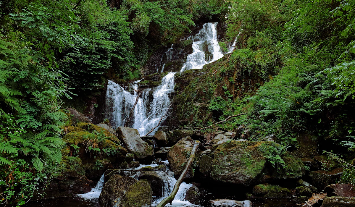
Most tour buses run this circular route in the same clockwise direction at similar times of day, creating a rolling convoy effect on a narrow road that has few safe passing points. Independent drivers going against the flow of bus traffic can face particularly tight squeezes on blind curves.
Wild Atlantic Way, Ireland

This long-distance coastal touring route has grown enough in popularity that certain short, iconic sections, like the road to Slea Head on the Dingle Peninsula, see traffic volumes the narrow rural roads were never designed to handle. Passing places built for occasional farm traffic are now used constantly by tour buses navigating the same tight bends.
Transfăgărășan Highway, Romania
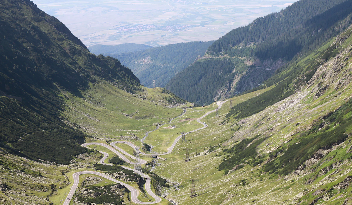
Made internationally famous by television coverage calling it one of the best driving roads in the world, this high-mountain route now draws enough enthusiast traffic on clear summer weekends that its most scenic hairpin sections can back up significantly. The road is only open a few months a year due to snow, concentrating all of its annual traffic into a short season.
Stelvio Pass, Italy
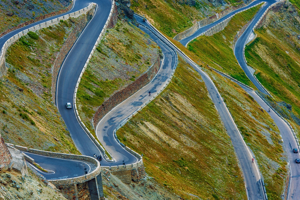
With 48 numbered hairpin turns on its northern side, Stelvio Pass draws motorcyclists, cyclists, and driving enthusiasts in such numbers during summer that the switchbacks near the summit can see significant queuing, particularly when slower vehicles meet faster ones on the narrow bends. Cyclists training on the same road add another layer of congestion that isn’t obvious from photos of the empty switchbacks.
Route 66 Near the Grand Canyon, Arizona
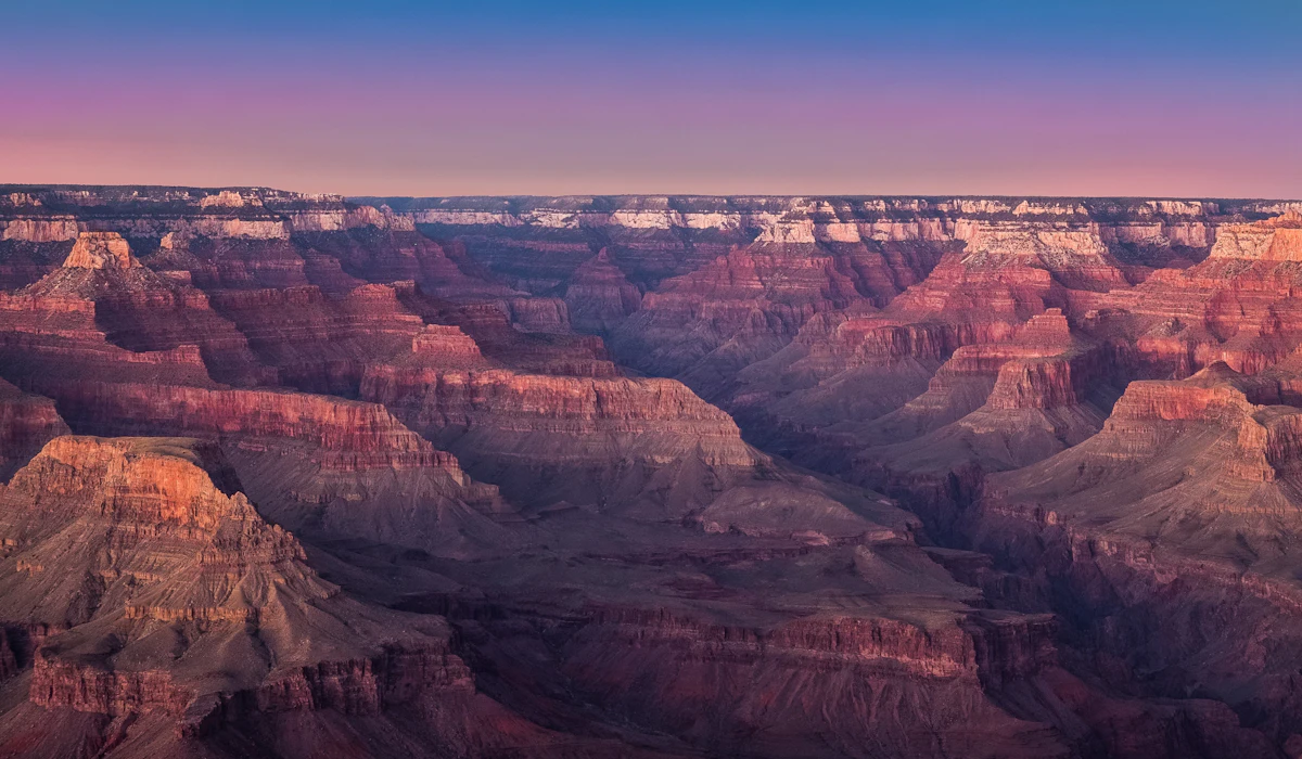
The stretch of historic Route 66 leading toward Grand Canyon National Park sees traffic far heavier than its two-lane design anticipated, especially in summer when the park’s entrance gates themselves back up onto the approach road. What’s marketed as a nostalgic drive can end in a lengthy wait just to enter the park.
Cabot Trail, Nova Scotia
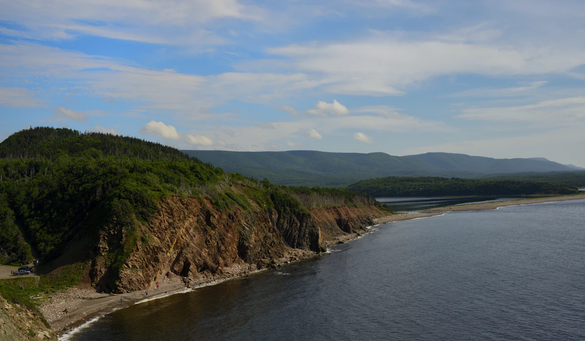
This 185-mile loop around Cape Breton Island narrows considerably through its mountainous northern section, where slow-moving RVs common among the drive’s older demographic of visitors can set a crawling pace for miles of following traffic with few opportunities to pass safely.
Million Dollar Highway, Colorado
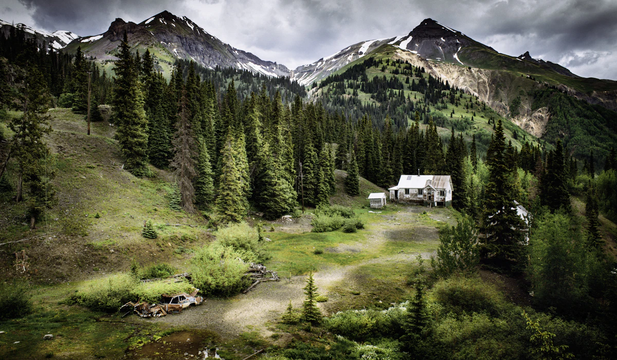
This stretch of US 550 between Ouray and Silverton has no guardrails along many of its steep drop-offs, which naturally slows nervous drivers and compounds during peak summer and fall color season when the road also carries heavy recreational vehicle traffic. A single cautious driver can set the pace for the entire narrow route.
Beartooth Highway, Montana and Wyoming
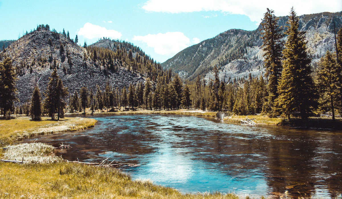
Reaching elevations over 10,000 feet near Yellowstone National Park, this highway is only open a few months each year, concentrating its entire visitor season into a narrow summer window when traffic at its highest overlooks can back up significantly on clear days.
Douro Valley Roads, Portugal
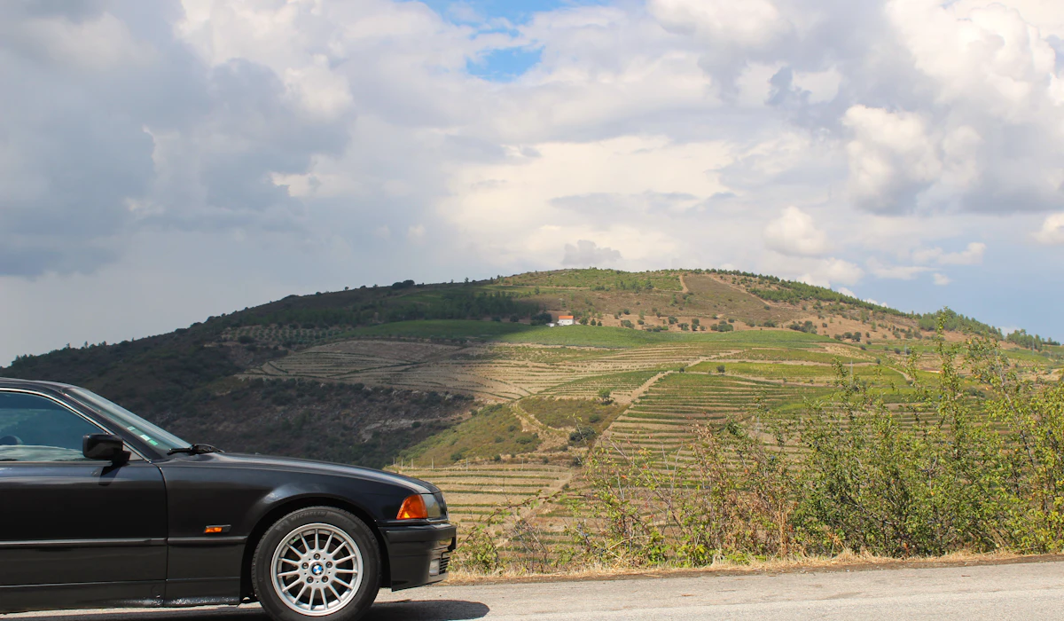
The narrow roads winding through this terraced wine region were built for local agricultural traffic, not the growing number of tourist vans now navigating steep switchbacks to reach hillside vineyards. Passing oncoming tour vehicles on some sections requires one vehicle to reverse to a wider point in the road.
Chianti Wine Road, Tuscany
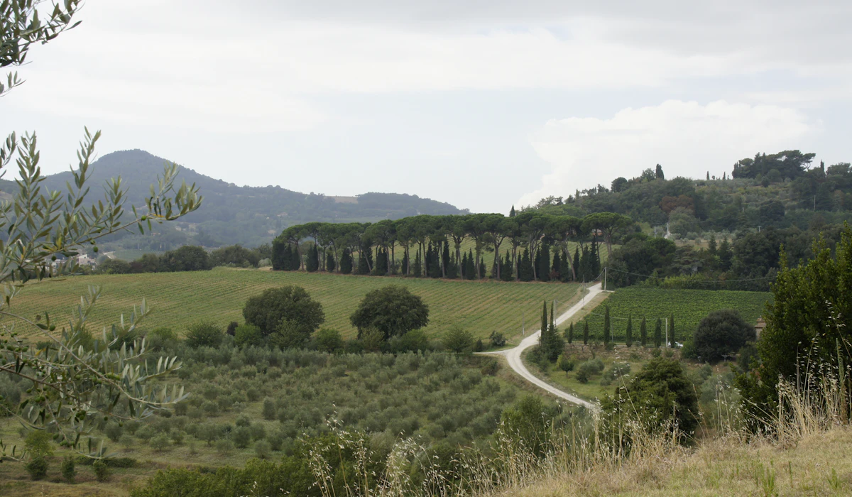
The SR222 connecting Florence and Siena through Chianti’s vineyards sees such heavy tourist traffic in high season that its narrow, hedge-lined sections can back up behind slower rental cars unfamiliar with the road’s tight curves. Wine tour vans stopping frequently at roadside estates add regular, unpredictable braking to the flow of traffic.
Silverado Trail, Napa Valley
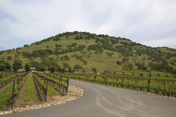
Marketed as the quieter alternative to Highway 29 through Napa Valley, the Silverado Trail has become popular enough in its own right that weekend wine-tasting traffic now regularly slows its once-easy flow, particularly near popular winery entrances where cars queue to turn in.
Moyenne Corniche, French Riviera
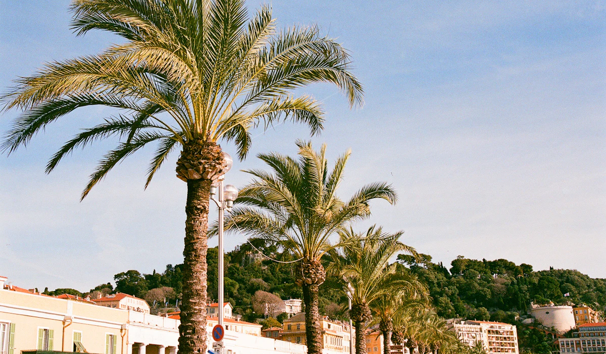
One of three parallel coastal roads linking Nice and Monaco, the Moyenne Corniche draws heavy traffic from both tourists seeking views and commuters navigating the region’s dense, wealthy coastline. Its narrow tunnels and curves mean a single slow-moving vehicle can affect the pace of the entire route between towns.
The Traffic Is the Tour Now
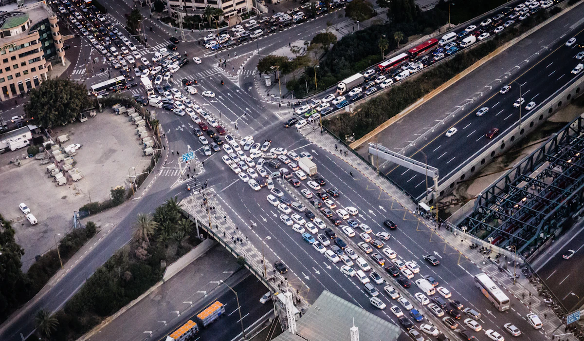
Every drive on this list earned its reputation honestly, carved along a coastline or over a mountain pass by someone who never anticipated how many people would eventually want to see it too. The roads themselves haven’t gotten any wider or safer to pass on; there are just more cars trying to use them at once.
None of that makes the views any less real. It just means the actual experience, for most visitors on most days, involves considerably more brake lights than the postcard ever let on.
More from Travel Pug

- Underrated Italian Towns That Beat the Tourist Crowds
- Las Vegas Tourist Traps to Skip
- Prettiest Towns in Every US State
- 18 passport-free countries for Americans
- Signs Your Cruise Is Not Worth The Cost
Like Travel Pug’s content? Follow us on MSN.