

Ireland’s western coastline takes the full brunt of the Atlantic Ocean, creating some of Europe’s most dramatic cliff faces and coastal scenery. The Cliffs of Moher reach up to 214 meters in places, with their vertical edge making a sheer drop into the ocean.
The Cliffs of Moher Coastal Walk is a 12 miles cliff edge trail connecting lively Liscannor and Doolin, though sections are currently closed. Less famous than the Cliffs of Moher, the massive Slieve League cliffs are actually several times higher.
Walking these paths means experiencing Ireland at its rawest — wind-whipped edges, crashing waves below, and views that stretch forever. Exploring Ireland’s coastal walks requires proper preparation for changeable weather, respect for cliff edges, and willingness to embrace the elements.
Here is a list of 15 breathtaking coastal walks and cliff paths in Ireland.
Cliffs of Moher Coastal Walk
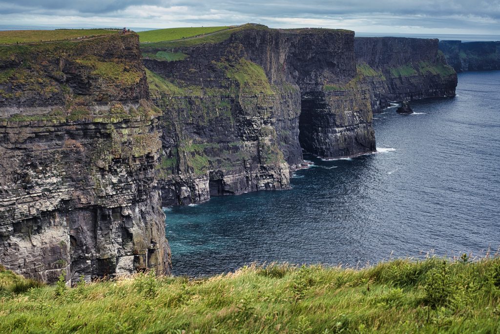
This strenuous 12.4-mile linear trail along an open path takes about five hours to complete, offering incomparable views of the Atlantic, Aran Islands, Doolin and Galway Bay. Safety warnings currently close the southern section from Liscannor for 3.10 miles, and a northern section near Doolin cannot access the Visitor Centre.
The sections that remain open still provide spectacular cliff-edge walking, though you’ll need to plan your route carefully around closures.
Slieve League cliffs
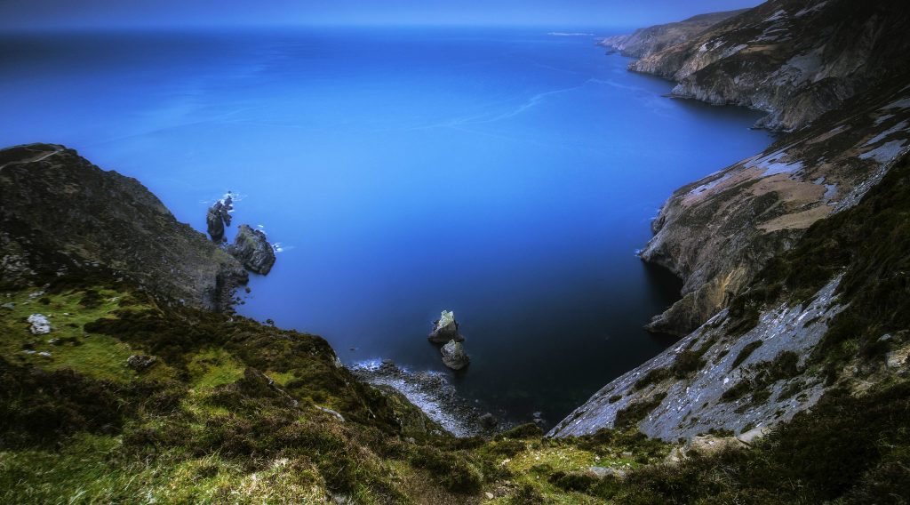
These massive cliffs dwarf the Cliffs of Moher in height, reaching well over 600 meters at their highest points. The Pilgrim’s Path behind Teelin village takes you past a mass rock and ruins of an old church before terminating at the edge of the very windy Slieve League cliffs.
Hikers describe this as hard difficulty, with steep, wet trails where you’re often battling fierce winds. The remoteness means fewer tourists and a more authentic Irish coastal atmosphere.
One Man’s Pass
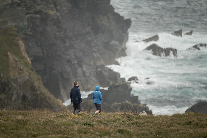
One Man’s Pass follows the edge of Ireland’s second-highest sea cliffs at Slieve League, creating one of the most thrilling walks in the country. The narrow path hugs the cliff edge with dizzying drops on either side.
Strong winds make this genuinely dangerous in poor weather — locals treat this section with serious respect. Only attempt One Man’s Pass if you’re an experienced hiker comfortable with significant exposure.
Doolin to Cliffs of Moher section
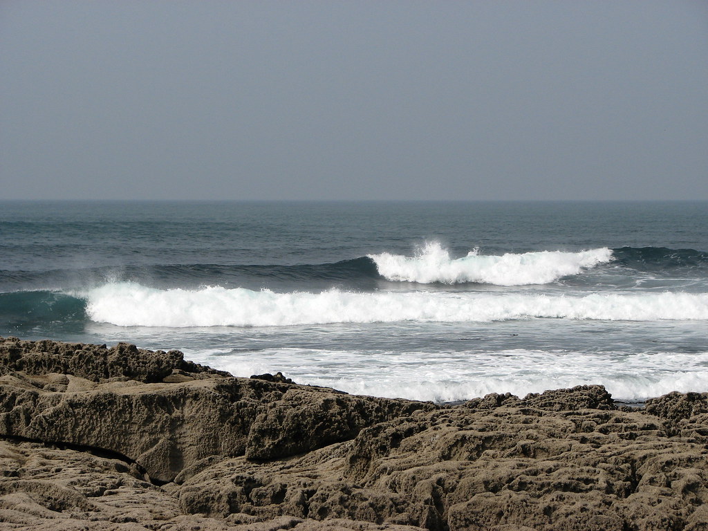
The trail from Doolin to the Cliffs of Moher Visitor Centre measures 8 miles and takes 2.5 to 3 hours. Local farmer Pat Sweeney offers guided walks starting at 10 AM every day from O’Connor’s pub in Doolin.
Starting from Doolin gives you spectacular views as you approach the cliffs gradually rather than beginning at the busy visitor center. The seafood chowder at O’Connor’s pub in Doolin provides a warm and hearty finish to a long walk.
Hags Head to Visitor Centre section
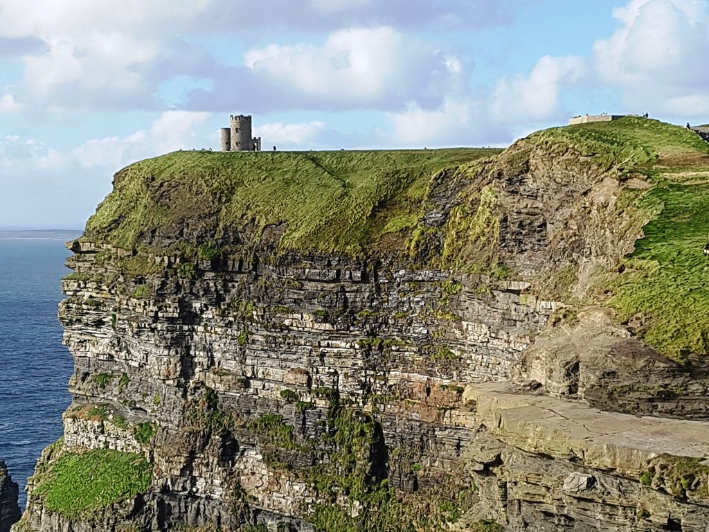
The walk from Liscannor to the Cliffs of Moher Visitor Centre stretches 7.5 miles and takes 3 to 4 hours. Starting at Hags Head means the first glimpse of the cliffs from this angle adds to excitement as you hike along the top.
The walk isn’t too difficult as most of the trail is relatively flat, though the path is rough and uneven in places along with being exposed to the elements. Ireland’s notorious rain makes the Cliffs of Moher Coastal Walk more challenging.
Causeway Coastal Route
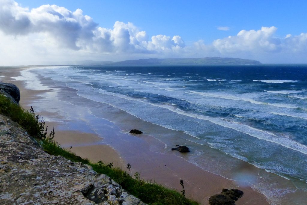
Walk along the coast observing strange basalt columns as geology gets wilder until arriving above the Causeway itself with a bird’s eye view to die for. Eager walkers can continue 1.5 miles to the stunningly dramatic Dunluce Castle perched majestically atop a cliff.
The Giant’s Causeway represents one of Ireland’s most unusual geological formations — hexagonal basalt columns formed by ancient volcanic activity. Most tourists just visit the center, but walking the coast gives you the full experience.
Lúb Dún Fearbhaí loop on Inishman
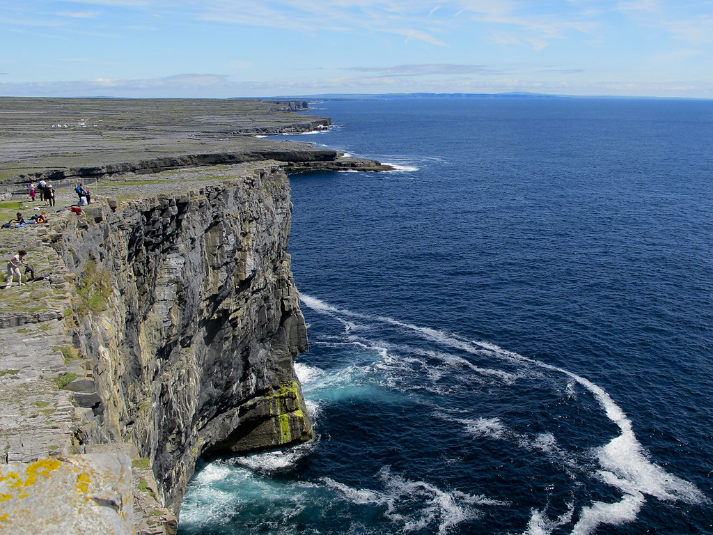
This 8-mile looped walk takes about 5 hours, following purple arrows from the pier to the coast along laneways and paths before cutting across the island past forts and heritage sites. You can detour to a rugged headland to see Synge’s Chair, named for Irish author J.M. Synge, along with dramatic limestone cliffs.
The Aran Islands offer a different coastal walking experience — windswept, culturally rich, and far less crowded than mainland cliffs.
Sheep’s Head Peninsula loops
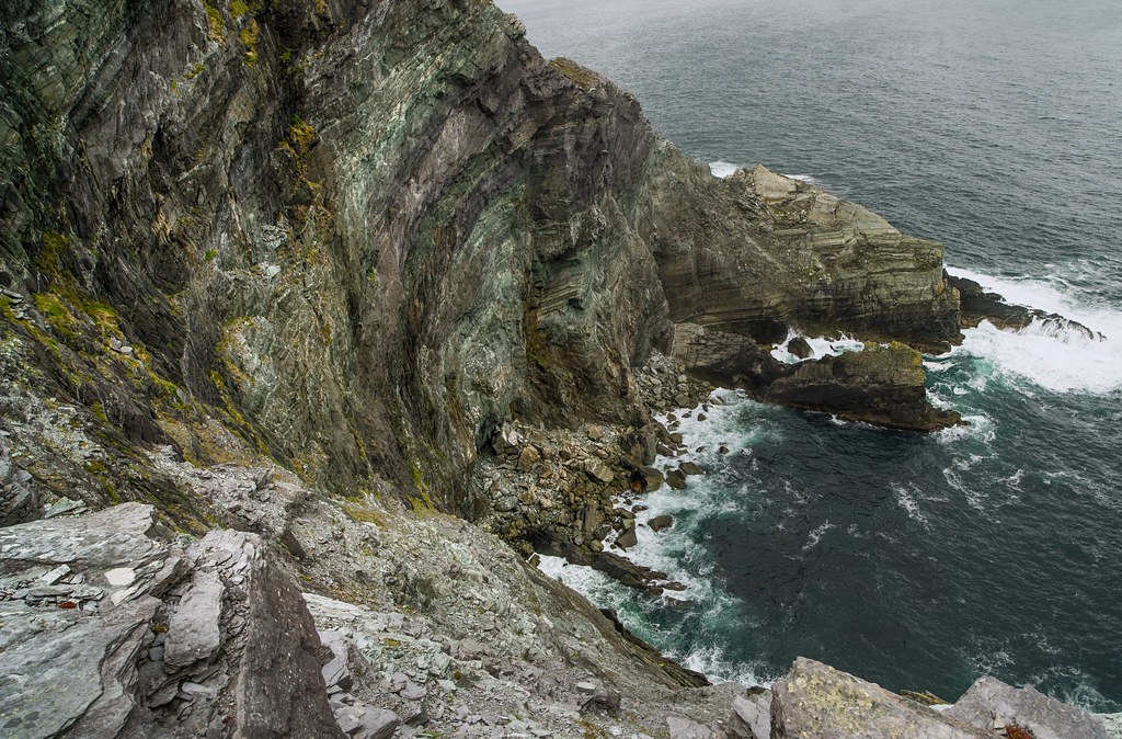
The 56-mile walking route starts in Bantry and brings you around the peninsula onto gorgeous scenery of Gougane Barra, finishing at Mizen Head. Choose from a collection of loop and linear walking trails with various gradings, most moderate to strenuous, varying from 2 to 8 hours with distances ranging from 2.5 to 16 miles.
The Sheep’s Head Lighthouse Loop begins and ends at the peninsula’s tip — one of the shortest but no less scenic options.
Glencolmcille loops
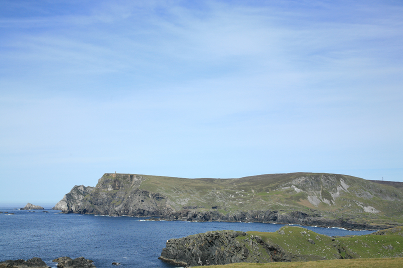
The 21.7-mile stretch is made up of a network of trails taking in some of the best views in Donegal, with notable routes being the 4.35-mile Drum Loop and 4.60-mile Tower Loop. Though both trails start and end at St Columba’s Church, the strenuous Drum Loop is perfect for veteran hikers while the Tower Loop offers more relaxing walking.
Regardless of which trail you pick, admire serrated peaks, flower-bordered lanes, Megalithic tombs and cross-etched stones dating to early Christianity.
Portrane Cliff Walk
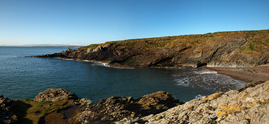
Taking roughly two hours to complete, this easy 2.5-mile loop trail in Donabate starts at Balcarrick Beach. The pathway leads to Portrane’s Tower Bay where you’re greeted with remarkable views of the Burrow Peninsula and Lambay Island.
The cliffs are popular for bouldering in mild weather if you fancy a spot of free climbing. This walk works well for families or those wanting coastal scenery without extreme difficulty.
Beachwalk from South Pointe to North Beach
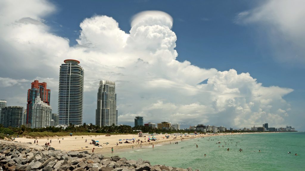
Miami Beach’s 8.7-mile Beachwalk provides unending ocean views and occasional waterfront green spaces — wait, that’s Miami, not Ireland. Actually, at the Cliffs of Moher, safe walkways and designated viewing platforms extend 2.17 miles for views.
Walk north past O’Brien’s Tower for less than a mile to enjoy elevated views of the Atlantic and Aran Islands. This paved section works for anyone unable to tackle rougher coastal paths.
Dingle Peninsula coastal sections
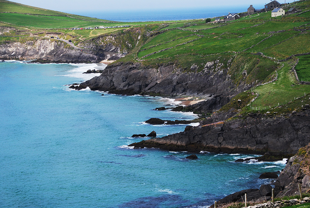
The Dingle Peninsula offers numerous coastal walking options though they don’t form one continuous trail. Sections between Slea Head and Dunquin provide spectacular Atlantic views, ancient beehive huts, and glimpses of the Blasket Islands.
The terrain varies from clifftops to beach walks, with opportunities to combine coastal paths with visits to archaeological sites. Local pubs in Dingle town reward walkers with traditional music and hearty meals.
Howth Cliff Path
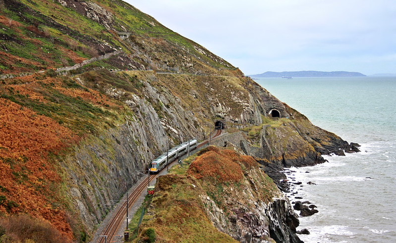
Just outside Dublin, the Howth Cliff Path offers accessible coastal walking without traveling to the West Coast. The loop takes about 2–3 hours and provides views across Dublin Bay to the Wicklow Mountains.
While less dramatic than western cliffs, Howth combines pleasant seaside walking with easy transport links from Dublin city center. The fishing village atmosphere and fresh seafood make this worth including.
Mizen Head cliff walk
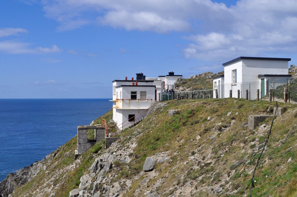
Located at Ireland’s southernmost point, Mizen Head features a dramatic suspension bridge connecting to a signal station perched on cliffs. The visitor center explains maritime history while paths lead to clifftop viewpoints.
Rough seas and strong winds characterize this wild corner of West Cork. The combination of historical interest and coastal scenery distinguishes Mizen Head from purely natural walks.
Fair Head cliffs
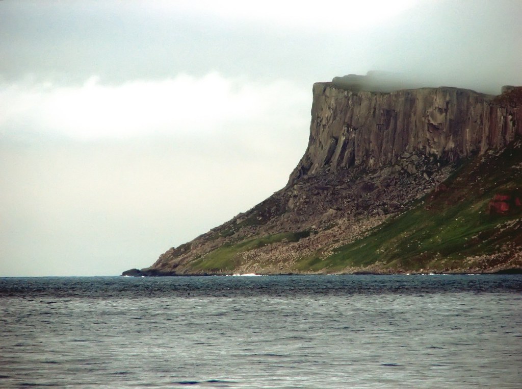
In County Antrim, Fair Head cliffs rise nearly 200 meters from the sea with distinctive dolerite columns. The plateau walk across the top provides views toward Rathlin Island and Scotland on clear days.
Rock climbers favor these cliffs, but walkers can enjoy the dramatic scenery from well back from edges. The approach through moorland creates a sense of remoteness despite relative accessibility.
Where land surrenders to ocean
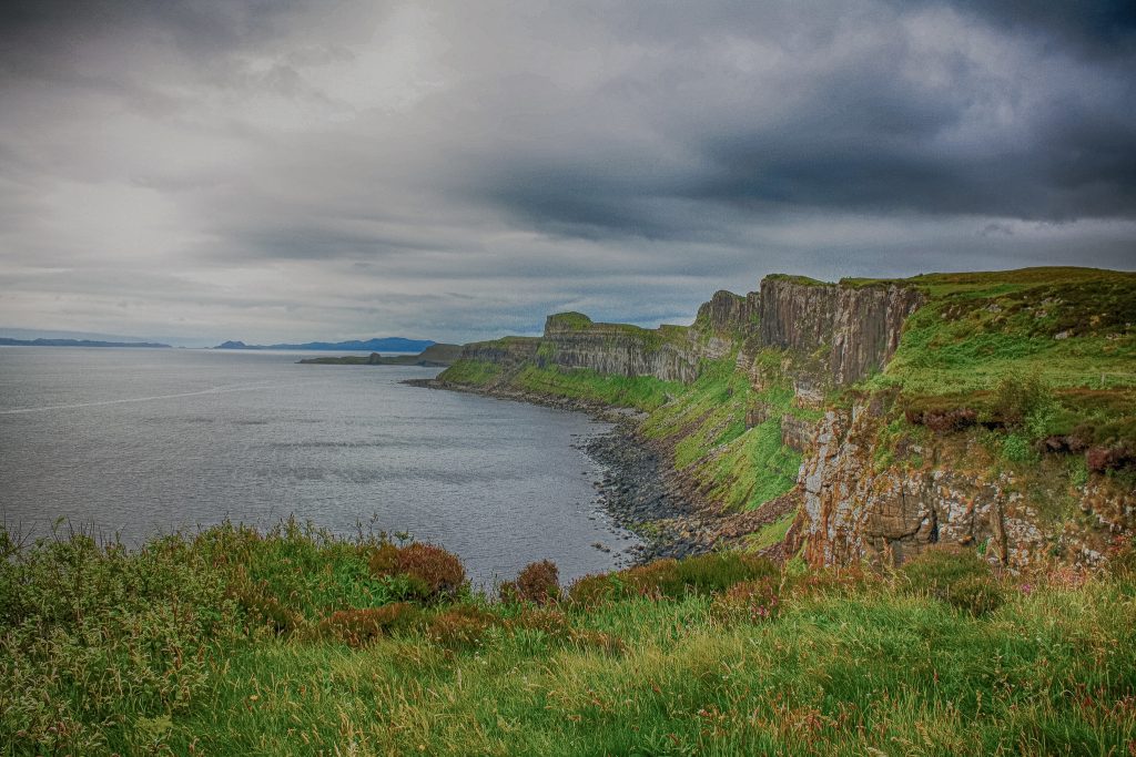
The Cliffs of Moher hold one of the major colonies of cliff nesting birds in Ireland, designated as a Special Protection Area for Birds in 1989. Ireland’s coastal walks represent more than scenic exercise — they connect you to a landscape shaped by millennia of Atlantic fury.
Every storm carves the cliffs a bit further, every wave crashes with the same relentless power that built these formations. The Cliffs of Moher run for about 8.7 miles, rising 120 meters at Hag’s Head and reaching a maximum height of 214 meters just north of O’Brien’s Tower.
Walking these edges means witnessing the ongoing battle between rock and water, a contest where water always wins eventually but stone refuses to surrender quickly. The wind carries salt spray, seabirds wheel overhead, and every turn reveals another impossible view that makes you understand why people return to these paths again and again.
More from Travel Pug

- Underrated Italian Towns That Beat the Tourist Crowds
- Las Vegas Tourist Traps to Skip
- Prettiest Towns in Every US State
- 18 passport-free countries for Americans
- Signs Your Cruise Is Not Worth The Cost
Like Travel Pug’s content? Follow us on MSN.