

Most visitors to Aruba never venture beyond the resort pools and white sand beaches, but they’re missing half the story. This Caribbean island harbors a surprisingly diverse landscape of desert peaks, hidden caves, and rugged coastlines that reveal themselves only to those willing to lace up their hiking boots.
Below are 15 remarkable trails that showcase Aruba’s wild side, from gentle coastal walks to challenging summit climbs.
Hooiberg

Hooiberg translates to “haystack” in Dutch, and this 541-foot volcanic formation rises dramatically from Aruba’s center like a giant anthill. The trail consists entirely of concrete stairs — 587 steps to be exact.
At the summit, you’ll find an overwhelming view of the entire island, plus cell towers that remind you this isn’t exactly pristine wilderness. Still, it’s hard to beat those 360-degree vistas. On clear days, you can even spot the Venezuelan coast.
The climb takes about 12 minutes without stopping, though most people pause halfway to catch their breath and watch the wild goats scramble through the cacti.
Sero Jamanota

At 617 feet, Sero Jamanota stands as Aruba’s highest point, offering the most comprehensive views on the island. This 1.7-mile loop trail takes about 52 minutes to complete and requires moderate fitness.
The path weaves through cacti and agave plants up and down various hills, with little shade if you end up hiking in midday sun. There’s an opening in the fence to reach the actual summit, and you might spot crested caracaras soaring overhead.
The Masiduri eucalyptus conservation area adds an unexpected green touch to the otherwise desert landscape.
Like Travel Pug’s content? Follow us on MSN.
Conchi Natural Pool Trail

The crown jewel of Arikok National Park adventures. This turquoise tidal pool is surrounded by a protective wall of rocks that shields swimmers from crashing waves.
The hike from the visitor center is long and exposed, requiring an early start before 6 AM to beat the heat. Along the way, you’ll encounter goats, lizards, and other desert wildlife.
And yes, that refreshing swim at the end makes every step worthwhile. Bring more water than you think you need — this is seriously hot terrain.
California Lighthouse Northern Loop

This trail starts at Arashi Beach and takes you across Aruba’s northern tip, where cliffs provide impressive views of a surprisingly quiet part of the island. The historic California Lighthouse stands sentinel over a flat, dusty loop trail that winds around the northernmost tip.
The route passes through dirt roads, rocky shorelines, and stunning dunes, delivering unparalleled views where very few adventurers tend to explore. Perfect for photographers seeking that golden hour magic.
The lighthouse itself isn’t much to look at up close, but the surrounding Sasariwichi Dunes feel otherworldly.
Alto Vista Chapel Loop

This peaceful loop trail covers just under half a mile and takes only 10 to 15 minutes to complete. But don’t let the brevity fool you.
The route showcases some of the most diverse cacti forests in the world — what locals call “mondi” in Papiamento. The trail follows Alto Vista Trail, Fireman Trail, and Beach Road, with views of the cliffs at Boca Cora visible from Beach Road.
The Alto Vista Chapel serves as both starting point and spiritual centerpiece, while the Peace Labyrinth offers a moment of reflection. Not an actual maze, despite the name.
Like Travel Pug’s content? Follow us on MSN.
Blackstone Beach Trail

This trail starts from the parking lot for Aruba’s famous Natural Bridge and takes you to one of the island’s most unique beaches. Blackstone Beach lies at Aruba’s North Cape, where impressive cliffs create pounding waves.
The secluded beach isn’t suitable for swimming due to strong currents, but it’s covered with smooth black rocks and features an unusual three-pronged natural bridge called the Tripod Bridge. The 5.3-mile loop takes about 2.5 hours and gains 862 feet of elevation.
Most hikers encounter few other people, making this a genuine escape from tourist crowds.
Dos Playa

Dos Playa consists of a duo of scenic beaches in Arikok National Park, but the rough road forces some visitors to choose hiking over driving. These pristine twin beaches offer some of the island’s best surf.
The beach usually lacks crowds and provides excellent photo opportunities, with big waves crashing against the rocky coast. Just don’t plan on swimming here — the surf is powerful and unpredictable.
You’ll need to park at the top of the hill before Rancho Daimari because the road deteriorates into huge potholes. The 2.4-mile round trip takes 60 to 90 minutes.
Bushiribana Gold Mill Ruins

In 1824, a young boy stumbled across a gold nugget in the riverbed of Rooi Fluit, triggering a wave of mining activity that produced three fully operational gold mills. A lightly trafficked loop trail leads to windswept, sandstone ruins where gold mined across the island was ferried by donkeys to the smelters.
This short, kid-friendly outing pairs nicely with a visit to the island’s ostrich farm, located not far from the trailhead. The ruins themselves tell fascinating stories of Aruba’s brief gold rush period.
You can smell the salt air from the nearby coast as you explore.
Like Travel Pug’s content? Follow us on MSN.
Fontein Cave Trail

This moderate trail leads to cave drawings created by the Arawak people at least 500 years before Europeans “discovered” the island. Fontein Cave sits at ground level, making it much easier to enter than other caves since there are no stairs to navigate.
Inside, you’ll find lots of Arawak drawings depicting insects, plants, and local landmarks, plus the usual cave residents — bats. Dripping water has created stalagmites and stalactites in various colors and forms. The cave stays refreshingly cool compared to the blazing heat outside.
Daimari to Boca Keto

This hike starts at Daimari and heads to what local surfers and bodyboarders call “Secrets” — officially known as Boca Keto. Pretty much the only sure way to reach this majestic beach is by hiking, unless you have an off-road-ready jeep to handle the bumpy dirt roads.
The trail showcases unique “mondi” scenery where palm trees and cacti coexist. This is a favorite hike in Arikok National Park where you won’t see a single person the whole time. The remoteness feels both liberating and slightly intimidating.
Westpunt Coastal Walk

This trail takes you along the northwestern tip of Aruba, where you can enjoy ocean scenery and sand dunes, plus views of the California Lighthouse. Westpunt feels surprisingly secluded even though it’s not far from Arashi Beach and other popular tourist sights.
The entire trail stays flat and easy, but it’s unmarked, so you can customize the length based on your energy level. Most people prefer to walk along the coast for half an hour and then turn back rather than completing the full 2.1-mile loop back via the road. Either approach works for escaping crowds.
Like Travel Pug’s content? Follow us on MSN.
Balashi Gold Mills Trail

This Balashi mill opened in 1899, decades after its seaside cousin at Bushiribana, and was intended to be a larger, more efficient gold-extraction facility. The mill shuttered during World War I as spare parts and raw materials became scarce and never reopened.
A loop trail leads to the imposing ruins while meandering through mangroves of the protected Spanish Lagoon area, where hikers often glimpse Caribbean parakeets nesting inside the reserve. Here’s what sets this trail apart from other gold ruins:
- Active wildlife viewing opportunities
- Mangrove ecosystem exploration
- Less crowded than Bushiribana
- Historical significance as Aruba’s largest mill
Sero Arikok Summit

Sero Arikok reaches approximately 575 feet above sea level, making it nearly as tall as Jamanota Hill. There’s a trail connecting Sero Arikok and the natural pool that spans about two-and-a-half miles.
The summit offers different perspectives than Jamanota, with excellent views of the national park’s interior. The views from here allow you to see the entire island plus the surrounding ocean beyond.
Though technically the second-highest point after Jamanota, many hikers find the vistas more diverse and interesting.
Miralamar Trail

The historic Miralamar trail provides access to remains of the Miralamar gold mine from the visitor center and ranks as the second most recommended route from the park entrance. The trail climbs Miralamar Hill through a dense and intriguing forest of cacti and other desert plants.
The now-abandoned mine was named after the hill and operated from the late 19th century until the 1980s. Unlike the older coastal ruins, Miralamar shows more recent mining technology and techniques.
The hill itself provides panoramic views across the park’s rugged interior.
Like Travel Pug’s content? Follow us on MSN.
Sasariwichi Dunes

This sandy area near the California Lighthouse goes by several names — you might hear them called the dunes of Boca Prins or the Sasariwichi Dunes at Hudishibana. One option to reach them involves taking the trail from Arashi Beach through the brush, leading to a big staircase with the Faro Blanco restaurant near the California Lighthouse at the top.
Once past the lighthouse, there’s no specific trail as you’ll be walking through powdery white sandy dunes. For shorter trips, you can drive closer to the dunes and park, then explore as far as energy permits.
Lots of paths wind through and around the edges of the sand dunes. The feeling of isolation here, despite being near the lighthouse, is remarkable.
Where trails lead next
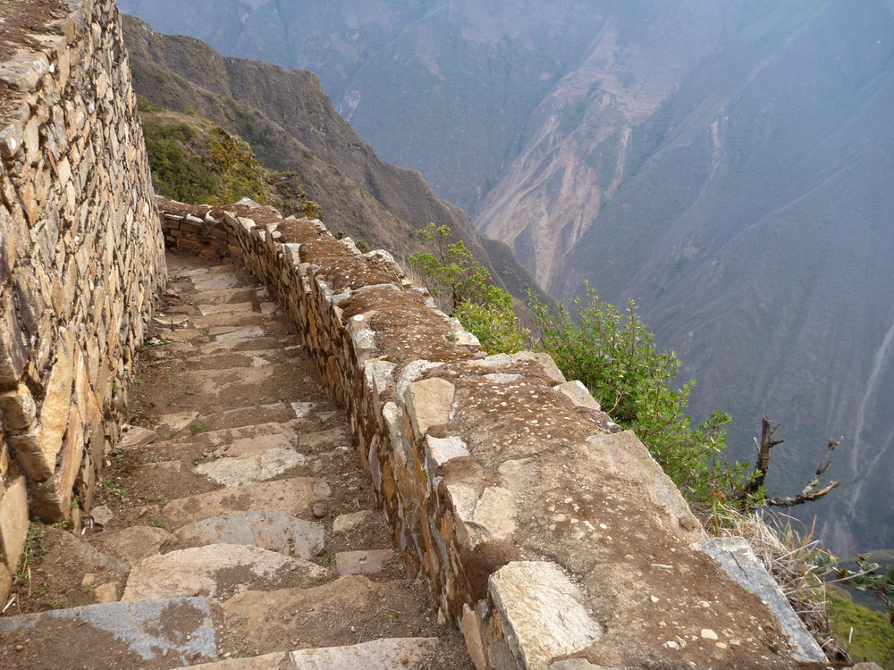
These trails offer a more laid-back or family-friendly experience compared to the weathered mountain climbing found elsewhere in the Caribbean. Whether you choose the concrete steps of Hooiberg or the wild remoteness of Dos Playa, Aruba’s hiking scene rewards those willing to look beyond the beach.
More from Travel Pug

- 20 Best Beach Towns in the Carolinas
- 13 Destinations Where Tourists Regularly Regret Their Trip
- 20 Things You Actually Get in First Class
- 20 Small Airports With Aviation Museums
- 20 Places in the U.S. That Are Perfect for a Reset Trip
Like Travel Pug’s content? Follow us on MSN.