

All the credit goes to the Isle of Skye. In the morning, tourists swarm the parking lots, wait in line to take pictures at the Old Man of Storr, and scuttle along single-track roads in the hopes of catching a glimpse of the Cuillin. However, Scotland’s hiking treasures go far beyond this one island, and some contend that lesser-known islands and the mainland provide just as spectacular—and occasionally better—experiences away from the crowds.
The following list of Scottish hikes rivals or even exceeds Skye’s well-known paths, offering unadulterated beauty, strenuous terrain, or unadulterated seclusion that the crowded island cannot match.
Glen Coe
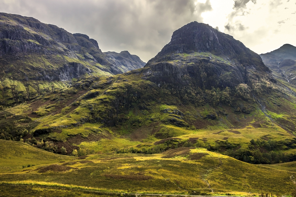
Few places in Scotland punch you in the chest quite like Glen Coe does. The valley feels carved by ancient violence—which it was, geologically speaking—and the mountains rise like broken teeth from the moor.
The Lost Valley hike threads through a boulder field into a hidden corrie where Clan MacDonald once hid stolen cattle, while Buachaille Etive Mor’s pyramid silhouette has launched a thousand postcards.
And the Aonach Eagach ridge? That’s Scotland’s narrowest, most exposed scramble. Not for the faint-hearted. The 8.7-mile (14-kilometer) route demands steady nerves and dry weather, but rewards with views that stretch to Ben Nevis on clear days. Glen Coe’s drama doesn’t rely on island mystique—it’s just brutally, unapologetically spectacular.
Ben Nevis
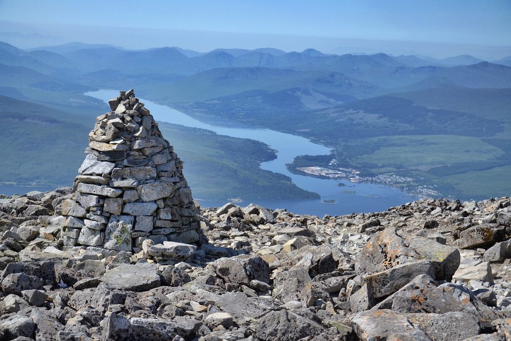
Britain’s highest mountain, at 1,345 meters, gets dismissed as a tourist trudge. Wrong. The standard path from Glen Nevis does attract crowds, sure, but approach via the Carn Mor Dearg Arête, and you’ll understand why mountaineers respect this lump. The knife-edge ridge traverse offers genuine exposure and technical interest that Skye’s Quiraing can’t touch.
Winter transforms Ben Nevis into a serious alpine proposition with Grade I-V ice climbs on the north face. Even in summer, the weather turns savage without warning.
Four to six hours up, plus descent. The summit plateau resembles the moon, and on rare clear days, you can see Ireland.
West Highland Way
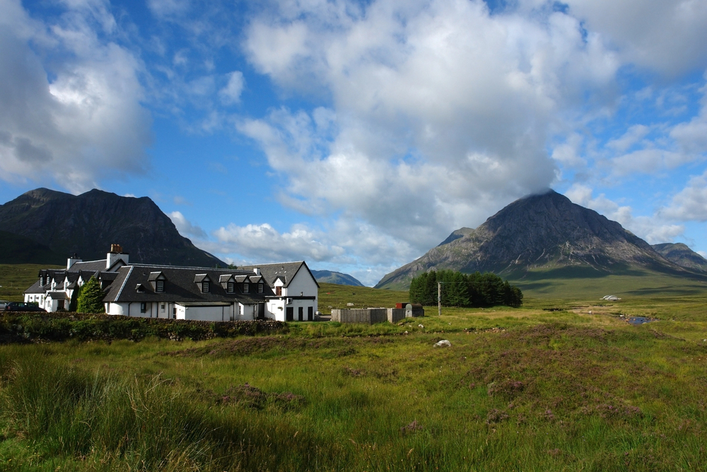
Scotland’s most famous long-distance trail covers 95.6 miles (154 kilometers) from Milngavie to Fort William. It’s not technically difficult—which is precisely the point.
Where Skye demands scrambling skills and route-finding prowess, the West Highland Way lets you sink into the rhythm of multi-day hiking through Scotland’s greatest hits: Loch Lomond, Rannoch Moor, Glen Coe’s flanks, and Ben Nevis looming at the finish.
The path is well-marked throughout. Most walkers take six to eight days, staying in hostels or wild camping.
The Devil’s Staircase section near Kinlochleven offers proper Highland drama, while Loch Lomond’s oak forests in autumn glow like burnished copper. Could be worse than spending a week here.
Beinn Alligin
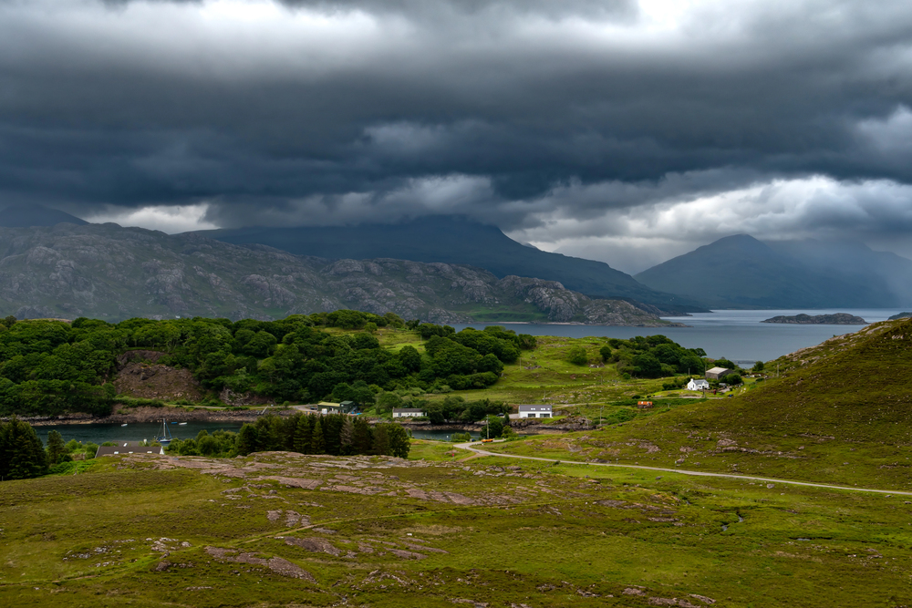
Torridon’s “Jewelled Mountain” proves Scotland doesn’t need Skye for jagged ridges and heart-stopping drops. Two Munros form this horseshoe route, connected by the Horns of Alligin—three rocky pinnacles requiring grade one scrambling. The exposure is real but manageable, unlike some of Skye’s crumbling paths.
Start at the bridge over Abhainn Coire Mhic Nobuil. The climb to Tom na Gruagaich is steep and sustained, roughly 900 meters of ascent. But from that first summit, the view hits different—Loch Torridon stretches below, the Isle of Skye sits on the horizon, and neighboring Liathach looks like something from Middle Earth.
The descent after the Horns is brutally steep, so save your knees and take it slow. Six to seven hours, moderate scrambling, outstanding terrain. Skye wishes it had this much elbow room.
Five Sisters of Kintail
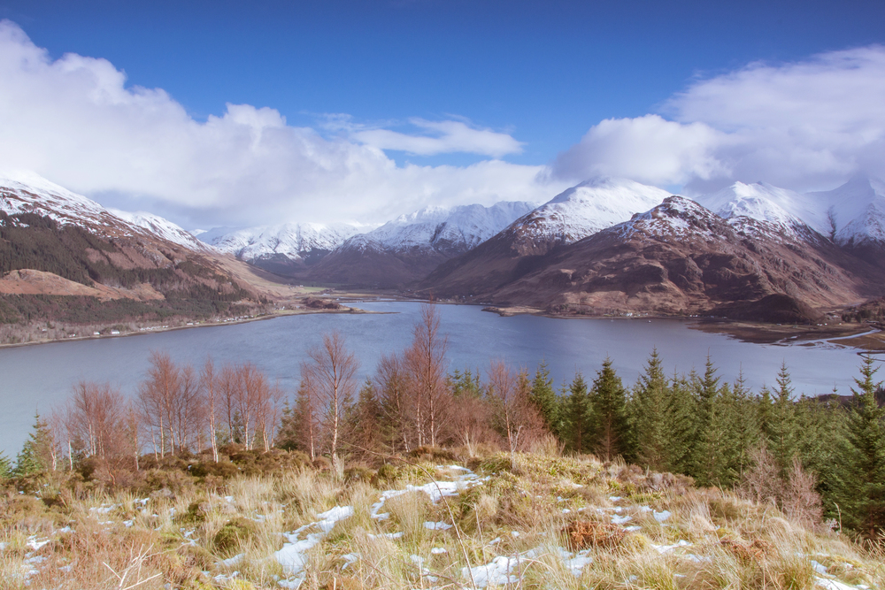
This ridge walk crosses three Munros and feels like hiking along a serrated blade. The intimidating profile looms over Glen Shiel for the entire approach, reminding you what you’ve signed up for. About 9 miles (14 kilometers), nine hours, 1,500 meters of total ascent and descent. It’s a proper day out.
The traverse doesn’t loop back to the start—you finish at the opposite end of the ridge and need to catch a bus or hitchhike back. Sgurr Fhuaran tops out at 1,067 meters, the highest of the sisters. Some hikers skip the fifth peak, Sgurr na Moraich, to save time and knees.
But on clear days, the views over Loch Duich and toward Skye make every meter of climbing worthwhile. This is classic Scottish ridge-walking without the Skye circus.
Cairngorms National Park
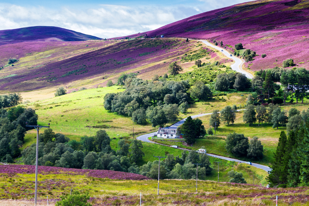
Britain’s largest national park sprawls across the central Highlands with rounded, plateau-like mountains that contrast sharply with Skye’s jagged drama. But what the Cairngorms lack in Gothic spikiness, they compensate for with scale and wildness. The Northern Corries walk loops beneath towering cliffs where snow lingers into summer.
Longer approaches mean genuine remoteness. You can hike for hours seeing nobody—try that on Skye in July. The plateau walking requires solid navigation skills because whiteouts disorient quickly up there.
Loch Avon, cradled in a massive corrie, ranks among Scotland’s most spectacular hidden gems. Ptarmigan, mountain hare, and red deer outnumber hikers. The Cairngorms don’t beg for attention like Skye does. They just exist, vast and indifferent.
Suilven
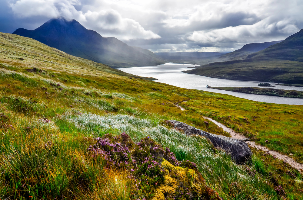
From certain angles, Assynt’s signature peak looks two-dimensional—a fin of sandstone rising improbably from the loch-studded wilderness. Locals call it the “Sugarloaf” from the south, though from the east it resembles the Matterhorn. Not bad for a hill that barely scrapes 731 meters.
The approach is the challenge. Eight miles (13 kilometers) from Glencanisp Lodge, mostly flat but relentlessly undulating over rough, rocky terrain. Your legs will feel every meter. Once you reach Suilven’s base, the scramble to Caisteal Liath summit is straightforward, steep but manageable.
The views though—they justify the long slog in. Mountains rise like islands from the gneiss plateau, lochs glitter everywhere, and the Atlantic sprawls to the west. This is where Scotland feels mythical without trying. Pack a tent, wild camp at the base, and watch the sunset turn the sandstone gold.
Ben Lomond
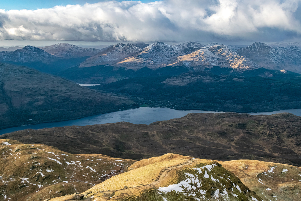
Scotland’s most southerly Munro sits just an hour from Glasgow, making it absurdly accessible. That’s both blessing and curse—the Tourist Path gets busy on weekends.
But the mountain delivers. At 974 meters, Ben Lomond dominates Loch Lomond’s eastern shore with proper Highland presence.The standard route from Rowardennan car park climbs through ancient oakwoods before emerging onto open moorland. Four to six hours return.
The Ptarmigan Ridge descent offers a quieter, more technical alternative with proper scrambling sections. Views stretch to Ben Nevis on exceptional days, the Arrochar Alps to the west, and that vast blue expanse of Loch Lomond below. Even overrun hills can surprise you.
Isle of Arran
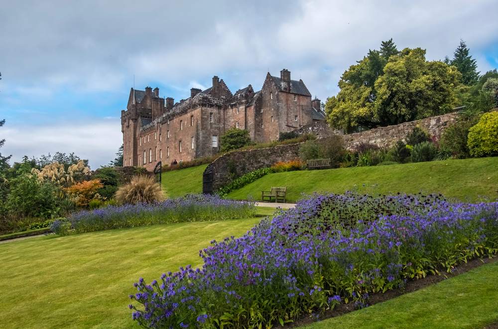
Scotland in miniature. That’s Arran’s reputation, and it’s earned. Goat Fell, the island’s highest peak at 874 meters, rears above Brodick Castle with proper menace. The climb through forest gives way to exposed ridges where wind hits hard.
Four to six hours up and down, depending on weather and fitness.But Arran offers more than one big hill.
The Arran Coastal Way loops the entire island—65 miles (105 kilometers) of varied terrain through beaches, cliffs, forests, and moorland. You can tackle it in week-long sections or cherry-pick day walks. We spotted seals near Lochranza, watched otters near Lagg, and the Black Cave near Kildonan is worth the detour. Arran gets overshadowed by Skye’s fame, but it delivers Highland drama without requiring a ferry to the Outer Hebrides.
The Rum Cuillin
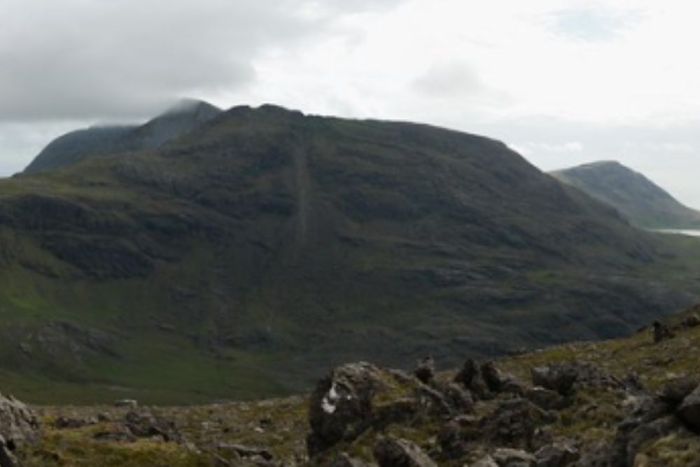
While tourists flock to Skye’s Cuillin, the Isle of Rum’s miniature version sees a fraction of the traffic. Five peaks form this horseshoe ridge with proper scrambling and exposure—grade two terrain that demands respect. Askival, the highest at 812 meters, rises almost vertically from sea level.
Getting to Rum requires planning. The ferry from Mallaig runs on limited days, and you’ll need to time the circuit to catch your boat back—roughly eleven hours from Kinloch pier and back.
Miss it and you’re stuck until Monday. The ridge traverse includes the notorious Askival Pinnacle, easily bypassed left, and knife-edge sections with massive drops. Manx shearwater burrows pockmark the summit—you’ll hear their eerie calls if you’re up there at dusk. No roads, no crowds, just raw Highland scrambling. This is what Skye used to feel like.
Cape Wrath Trail
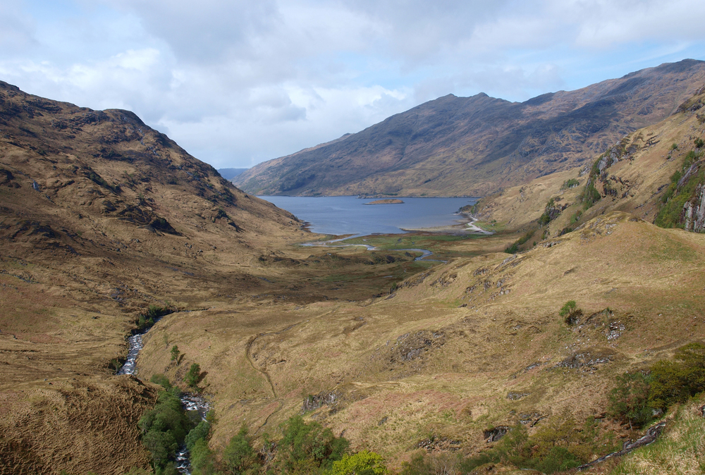
Scotland’s toughest long-distance route isn’t technically a marked trail—it’s more a concept. From Fort William to Cape Wrath covers roughly 230 miles (370 kilometers) through the most remote terrain in Britain.
No waymarks, few paths, and the GPS often shrugs in confusion.This isn’t a weekend jaunt. Most hikers need two to three weeks, crossing trackless moors, fording rivers, and navigating by map and compass.
The remoteness is total. Days pass without seeing another soul. The landscape breaks you down and rebuilds you—lochs, glens, mountains, bogs that try to eat your boots. Wild camping is mandatory.
At Cape Wrath, Britain’s northwestern extremity, you’ll stand on cliffs where nothing exists between you and Canada except cold Atlantic water. This is hiking as pilgrimage, the anti-Skye experience where solitude comes guaranteed.
Stac Pollaidh
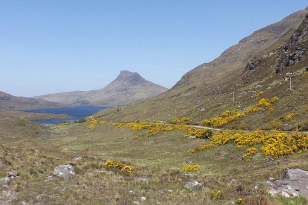
Assynt’s other show-off peak punches well above its 613-meter height. The approach from the car park is tourist-friendly, but the final scramble along the summit ridge definitely isn’t. Pinnacles jut skyward like broken fingers, and the exposure on the narrow crest will test your nerve.
Two hours up, maybe ninety minutes down if you’re confident. But the 360-degree views? Worth every sketchy handhold.
Suilven sits to the northeast, Cul Mor and Cul Beag cluster nearby, and on clear days you’ll see the Summer Isles scattered offshore like someone spilled stones across the water. Stac Pollaidh proves Scotland doesn’t need height to deliver drama.
Great Glen Way
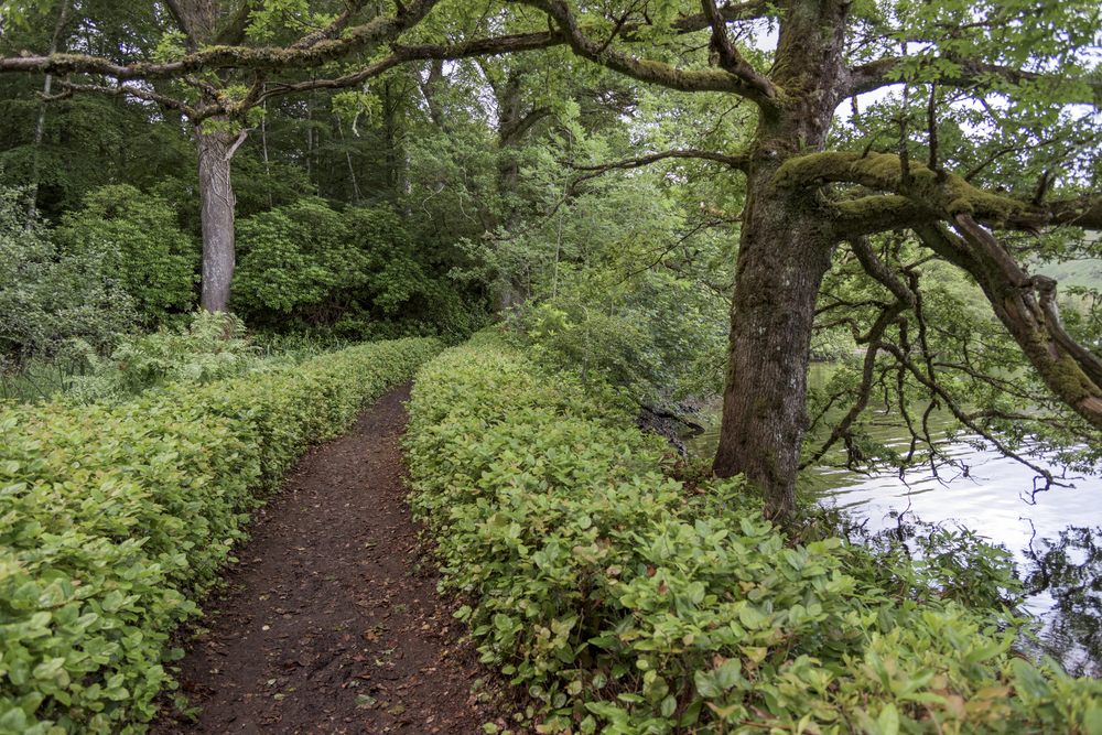
This 79.5-mile (128-kilometer) route from Fort William to Inverness follows the geological fault line that splits the Highlands. Unlike the West Highland Way’s mountain drama, the Great Glen Way trades elevation for history and loch-side beauty.
You’ll walk beside Loch Lochy, Loch Oich, and Loch Ness—yes, that Loch Ness.The Caledonian Canal provides flat, easy walking sections perfect for recovery days.
Most hikers complete it in five to seven days. Fort Augustus makes a pleasant halfway stop. The trail rarely challenges technically, but the scenery shifts constantly—pine forests, canal paths, mountain views, and always that water stretching ahead. If Skye feels too vertical, the Great Glen Way offers Highland immersion without destroying your knees.
Torridon’s Liathach
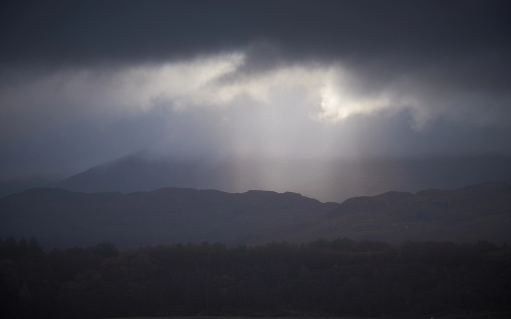
They call this “The Grey One” in Gaelic, though in certain light, Liathach glows russet-red. At 1,054 meters, it’s the highest peak in Torridon, and the traverse ranks among Scotland’s finest—and most exposed—ridge walks. Around 6.8 miels (11 kilometers), eight to ten hours, with sections of grade one scrambling.
The famous pinnacles along Am Fasarinen ridge can be bypassed via a path on the south side, but where’s the fun in that? The exposure is genuine, the rock solid, and the views across to Skye and Beinn Alligin worth every moment of concentration. Liathach demands experience and good weather. Attempt it in the cloud or the wind and you’re asking for trouble.
But nail it on a clear day and you’ll understand why some mountaineers rate this above anything Skye offers.
Ben A’an
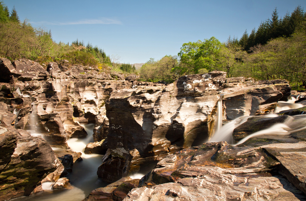
The Trossachs’ miniature mountain delivers disproportionate rewards. Just 454 meters high, Ben A’an provides a two-hour scramble up rocky terrain to a summit with views that rival much taller peaks. Loch Katrine stretches below, the surrounding mountains form a perfect Highland tableau, and the effort required won’t leave you broken for days afterward.
It’s the ideal introduction to Scottish hillwalking. Families with older kids can handle it, though the final rocky section requires some handholds.
The new path construction has eliminated most of the boggy approach, so you’ll stay relatively clean. Think of Ben A’an as Scotland’s gateway drug—once you’ve tasted this, you’ll want the harder stuff.
Quinag
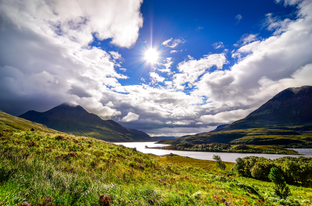
Three Corbetts form this mountain mass in Sutherland: Sail Gharbh, Sail Ghorm, and Spidean Coinich. The ridge walk connecting them covers 8.7 miles (14 kilometers) and takes seven to eight hours. Views stretch south to Loch Assynt and the Munros Ben More Assynt and Conival.
Quinag sees far fewer hikers than Skye’s peaks despite offering comparable scenery. The terrain is rough and pathless in sections—proper Highland navigation required. But that’s precisely the appeal. No queues, no Instagram photographers blocking the best viewpoints, just you and the mountain.
The descent from Spidean Coinich requires care over loose rock, but overall Quinag remains accessible to fit hillwalkers with experience.
The trail less trampled
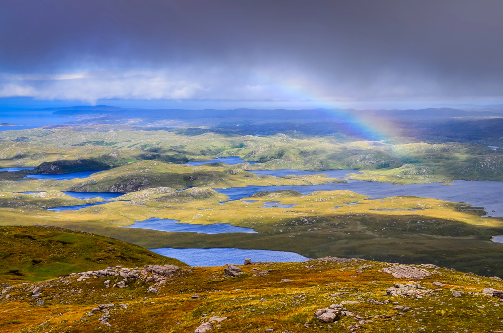
Skye’s fame has turned into a liability. Single-track roads experience traffic jams in the summer, and overused paths deteriorate. These substitutes provide experiences that are on par with or better than Skye’s drama while distributing the hiking strain throughout Scotland’s expansive landscape.
Some are harder to get to, some require better navigation, but all give hikers what Skye is becoming less and less able to offer: breathing room, quiet to reflect, and mountains that feel wild rather than tamed. Scotland boasts thousands of kilometers of trails, dozens of islands, and hundreds of peaks. It’s time to look beyond the obvious option.
More from Travel Pug

- Underrated Italian Towns That Beat the Tourist Crowds
- Las Vegas Tourist Traps to Skip
- Prettiest Towns in Every US State
- 18 passport-free countries for Americans
- Signs Your Cruise Is Not Worth The Cost
Like Travel Pug’s content? Follow us on MSN.