

A glacier face that stands several stories above the water does not fit in a camera frame from the shore. It fits even less in a bus window.
Much of Alaska’s coastline was built on a scale that only makes sense when the viewer is floating at the bottom of it.
Roads reach few of these places, and the ones that do rarely reach the best angle. Water is the main highway here, and the view from a deck is the one the landscape was arranged for.
Hubbard Glacier and Disenchantment Bay
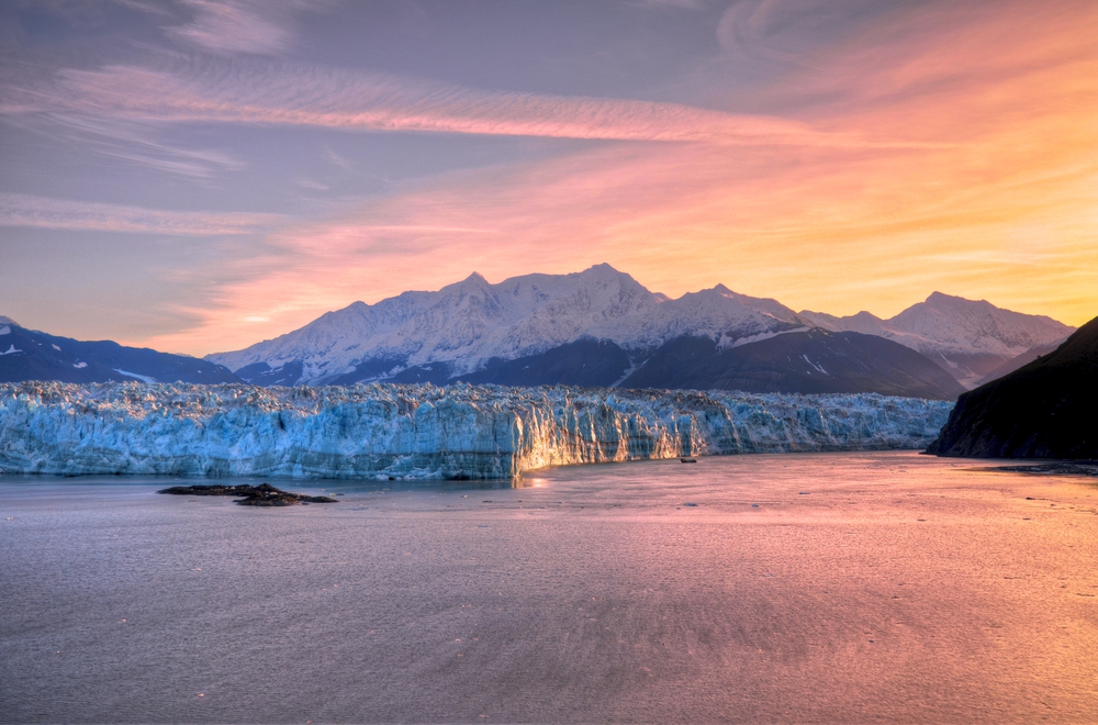
Hubbard Glacier is North America’s longest tidewater glacier, running roughly 76 miles from its source in the mountains to the head of Yakutat Bay. Its face is about six miles wide, which is why ships hold position and slowly turn so every side of the vessel gets a turn at the rail.
The glacier is advancing, and in 1986 and again in 2002 it surged across the mouth of Russell Fiord and briefly sealed it into a lake. From a deck, the thunder of a calving slab arrives seconds after the ice has already fallen, a delay that no overlook can reproduce.
Margerie Glacier in Tarr Inlet
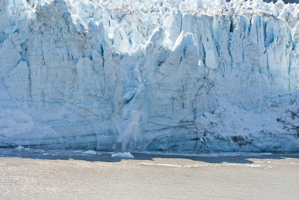
Margerie Glacier ends in the far northwest arm of Glacier Bay, a face roughly 0.85 miles wide and about 200 feet tall above the water, with a good part of its height below the surface. Ships ease into Tarr Inlet and hold there close to the ice, a vantage that would be unthinkable on land because no road or trail comes close.
The neighboring Grand Pacific Glacier is streaked brown and gray with rock debris, a contrast that sits side by side with Margerie’s blue-white face. Seeing both glaciers together from the water offers a perspective that is difficult to replicate from land.
Glacier Bay’s Retreating Ice
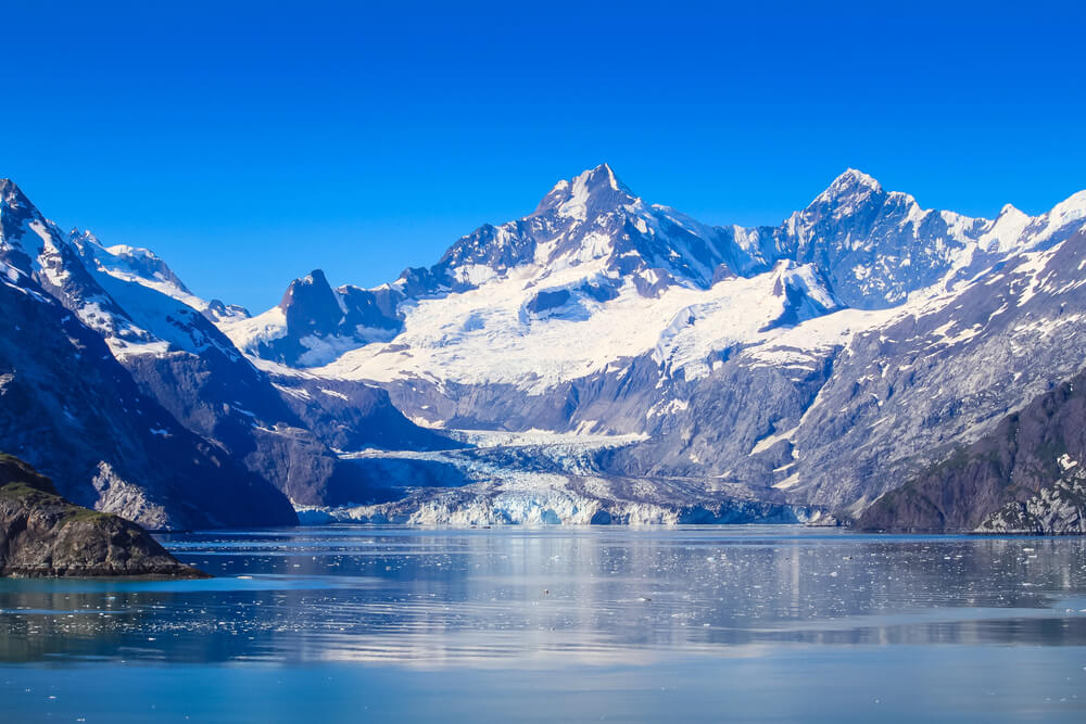
When Captain George Vancouver sailed past in 1794, Glacier Bay was barely a dent in a wall of ice. By the time John Muir arrived in 1879, the ice had pulled back about 48 miles and left a long, deep bay.
A ship moving up the bay today travels through that retreat in reverse, passing bare rock, young shrubs, and finally mature forest near the entrance. The full sequence is difficult to experience from a trail, because the water runs the length of the bay.
Tracy Arm in the Fords Terror Wilderness
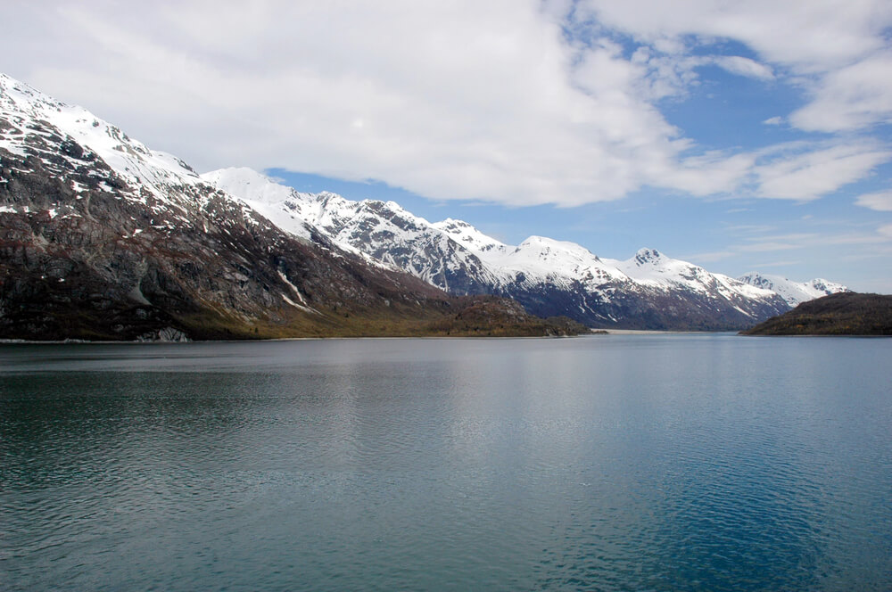
Tracy Arm is a narrow glacial fjord of about 30 miles, cut into the Coast Mountains south of Juneau and protected within the Tracy Arm-Fords Terror Wilderness, which covers more than 648,000 acres. Granite walls rise thousands of feet directly from the water, close enough that the width of the channel feels like a corridor.
Waterfalls spill down the cliffs, and floating ice thickens toward the head. There is no road into it, so the corridor effect exists only for those traveling its length by boat.
The Sawyer Glaciers at the Head of Tracy Arm
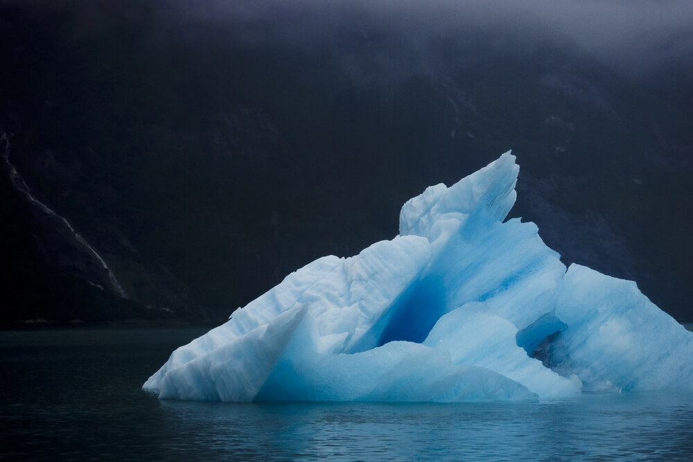
North Sawyer and South Sawyer Glaciers meet the water at the end of Tracy Arm, side by side in separate valleys. Large ships often cannot reach the faces when the arm is clogged with ice, which means every approach is slightly different.
Chunks of ice drift past the hull, some of them stained deep blue where the glacier compressed the air out of them. Seeing that color up close, at water level, shows why the pale photographs taken from planes miss the point.
Endicott Arm and Dawes Glacier
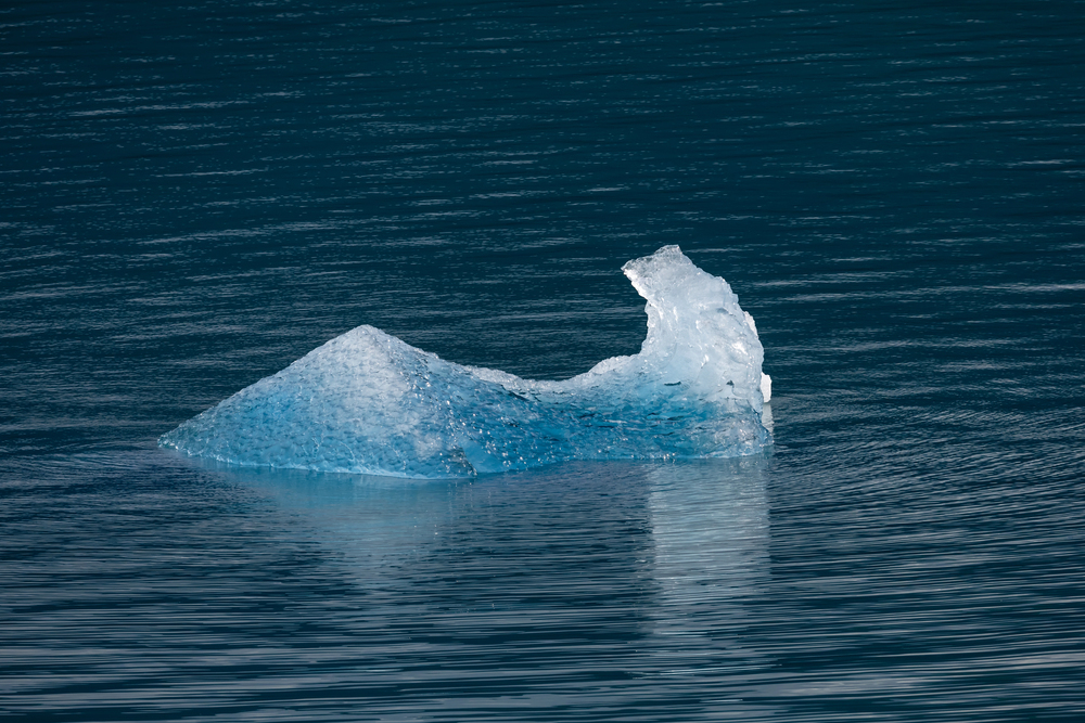
Endicott Arm runs south of Juneau roughly parallel to Tracy Arm, ending at Dawes Glacier, a retreating tidewater glacier that sits at the end of a dramatic bend in the fjord. Near the entrance, a side channel leads to Fords Terror, a narrow inlet whose name comes from seaman Harry L.
Ford, who was caught in powerful tide-driven currents while navigating it in the late 1880s. The fjord walls are sheer enough that the sun reaches the water for only part of the day.
Ships typically drift slowly through Endicott Arm, a pace that makes the cliffs seem to move rather than the vessel.
College Fjord and the Glaciers Named for Colleges
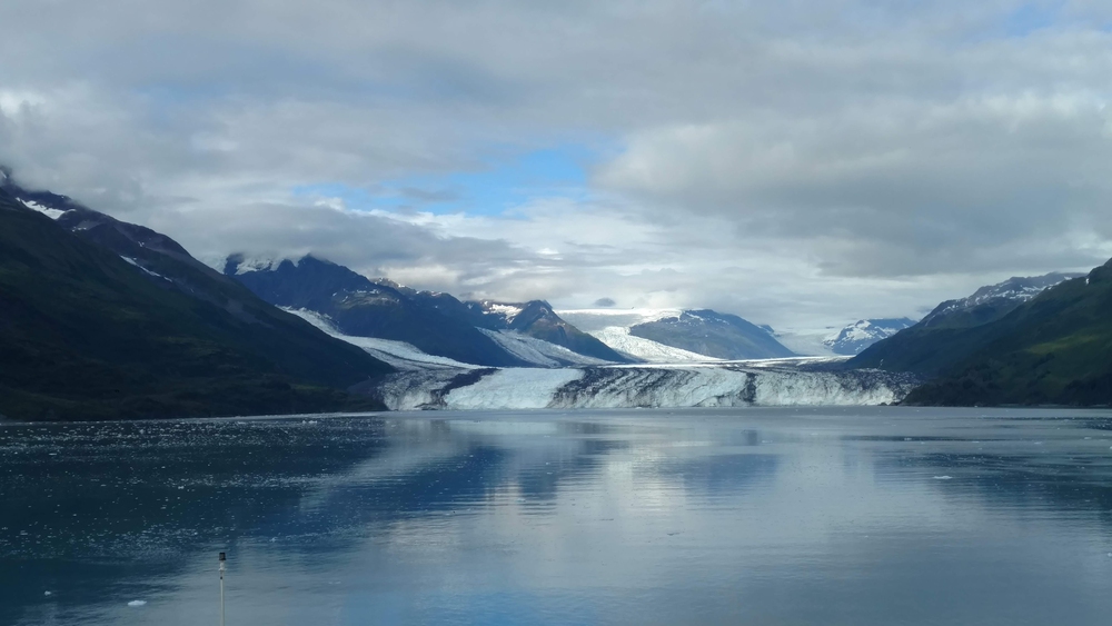
In 1899 the Harriman Expedition, a scientific party paid for by railroad magnate Edward Harriman, explored Prince William Sound and gave the glaciers at the head of this fjord the names of colleges. Harvard Glacier sits at the head, with Yale, Smith, Vassar, Bryn Mawr, and Wellesley among the others lined along the walls.
A ship’s deck offers a sweeping view of the glaciers as the vessel turns, a perspective nearly impossible to piece together from land, where no road reaches the fjord. The names turn a geology lesson into something that reads like a campus tour.
Rudyerd Bay and New Eddystone Rock in Misty Fiords
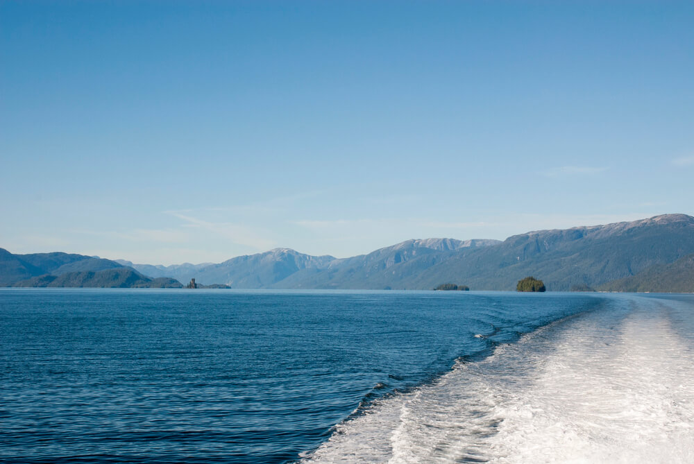
Misty Fiords National Monument lies east of Ketchikan, and Rudyerd Bay is one of its showpieces, with granite cliffs rising more than 3,000 feet straight from the water. Rising from the middle of Behm Canal is New Eddystone Rock, a basalt pillar about 237 feet tall that Vancouver named in 1793 for its resemblance to the Eddystone Lighthouse off the coast of England.
The weather here is usually damp, and clouds hang across the cliff faces. From the water, the mist reads as scenery rather than as an obstacle.
Wrangell Narrows and Its Channel Lights
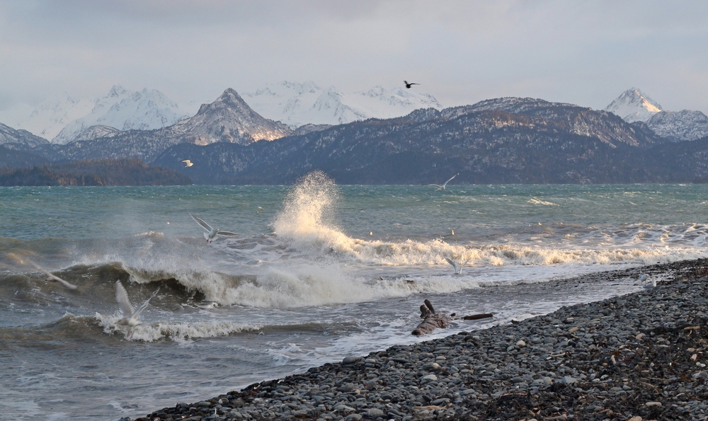
Wrangell Narrows is a winding channel of about 21 miles between Mitkof and Kupreanof Islands, and it is so tight that vessels must navigate carefully around bends and account for currents and tides. The route is lined with dozens of red and green navigation markers, which earned it the nickname Christmas Tree Lane.
Ferries and smaller ships pass close enough to the shore that spruce branches and fishing boats fill the windows on both sides. The experience is of threading a needle, which can only be appreciated from the deck.
Eldred Rock Lighthouse in Lynn Canal
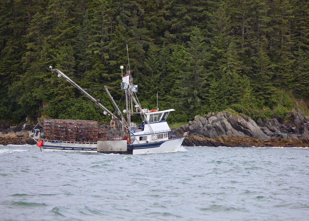
Eldred Rock Light, completed in 1906, is an eight-sided tower standing on a tiny island in Lynn Canal and is regarded as the oldest original lighthouse still standing in Alaska. It was built partly in response to a string of wrecks, including the steamer Clara Nevada, which sank in 1898 in Lynn Canal.
The island is small, low, and exposed, so the lighthouse looks like a pawn on a gray board. Passing at the right distance from a ship’s rail shows how much open water surrounds it, a scale lost in any photograph.
Lynn Canal and the Chilkat Mountains
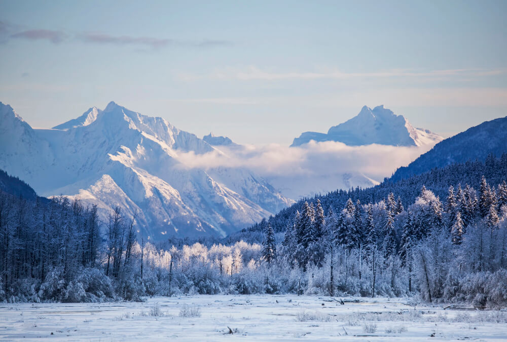
Lynn Canal stretches about 90 miles from Icy Strait north toward Haines and Skagway, a long glacier-carved fjord with high ridgelines of the Coast Mountains running along both sides. Ice-capped peaks tower above the water, and the lines of the mountains change as the ship moves north.
The channel is wide enough to show the full height of the walls instead of just a slice. It remains one of the clearest examples of how a glacier-carved valley looks when the ocean fills it.
Sentinel Island Light Near Juneau
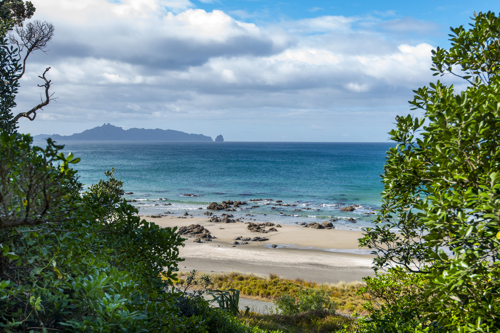
Sentinel Island Light, first lit in 1902, stands on a small rocky island in Lynn Canal about 20 miles north of Juneau, guarding the approach to Favorite Channel. The light station was rebuilt in 1935, though the original light began operating in 1902.
Pale buildings and a white tower stand out against dark spruce, and the contrast makes the island easy to spot from a distance. A passing deck lets the light sit in its setting, with waves breaking on the rocks, instead of reducing it to a postcard thumbnail.
Taiya Inlet and the Approach to Skagway
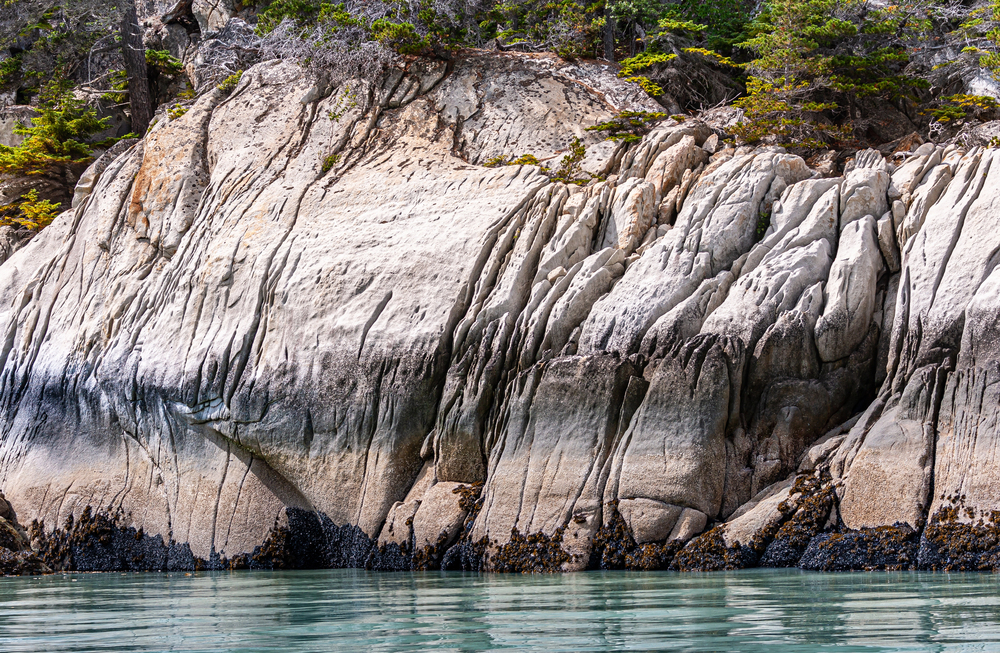
Ships bound for Skagway sail up Taiya Inlet, a narrow arm of Lynn Canal squeezed between steep mountain walls, ending at a town that boomed during the Klondike gold rush of 1897 and 1898. The same water carried tens of thousands of stampeders who landed here before climbing toward the passes.
Seeing the walls close in as the ship approaches gives context for how daunting the trip must have felt. The setting looks much the way it did when a tent city covered the shore, only now the gangway is much easier.
Mount Edgecumbe Across Sitka Sound
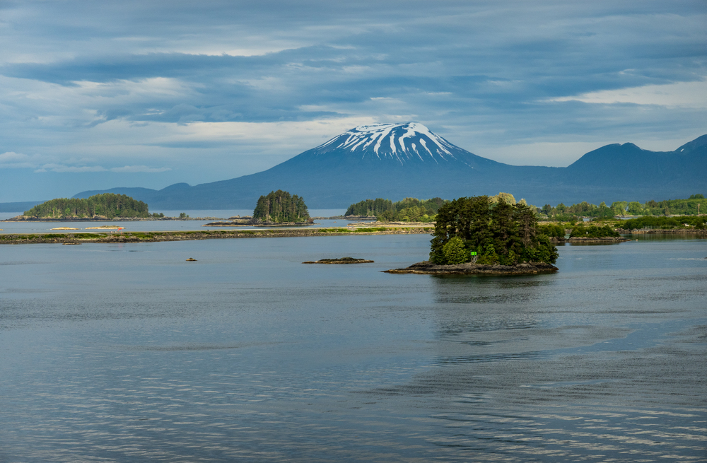
Mount Edgecumbe is a dormant volcano of about 3,200 feet on Kruzof Island, rising across Sitka Sound with a near-perfect cone that dominates the skyline. In 1974, a local pilot and prankster Oliver “Porky” Bickar arranged for old tires to be flown into its crater and set ablaze on April Fools’ Day, leaving a plume that convinced much of Sitka the volcano had awakened.
Ships anchored off Sitka see the cone across open water with the town in the foreground. The distance and the water between the two are the reason the mountain looks so symmetrical.
Ketchikan and Tongass Narrows
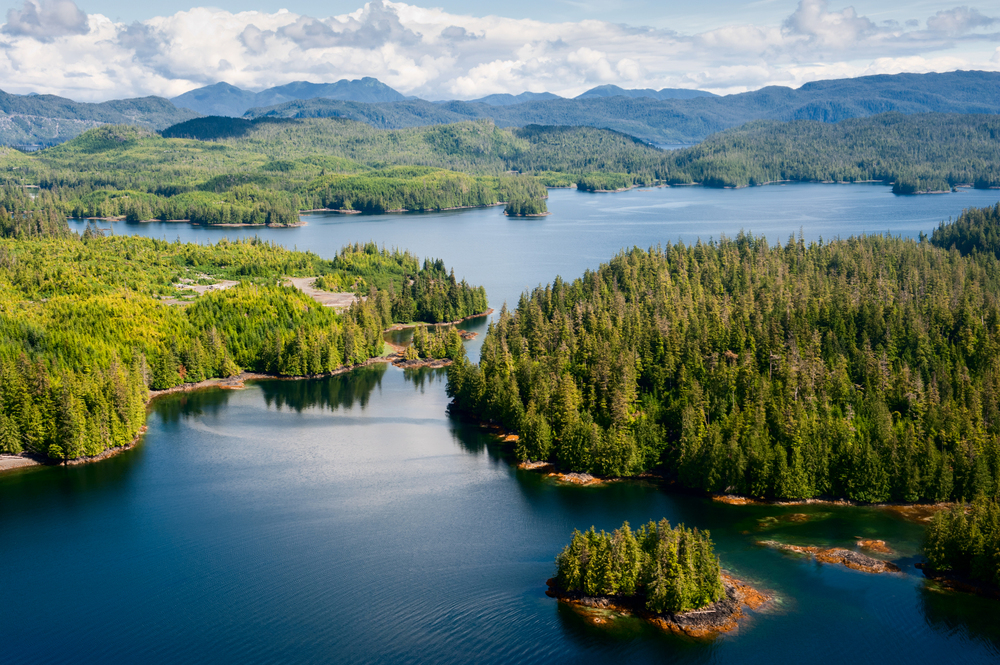
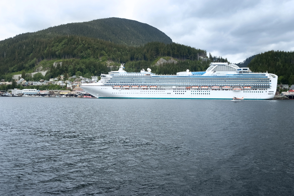
Ketchikan sits along Tongass Narrows, a busy channel where cruise ships, fishing boats, and floatplanes share the same stretch of water. The town climbs a steep slope from the shore, with houses stacked over the waterfront, and the area averages roughly 150 inches of rain annually.
Approaching by water shows how little flat ground there is, since the town has to be built mostly vertically. From a land vantage point, those same streets just look like streets.
The Fairweather Range From the Gulf of Alaska
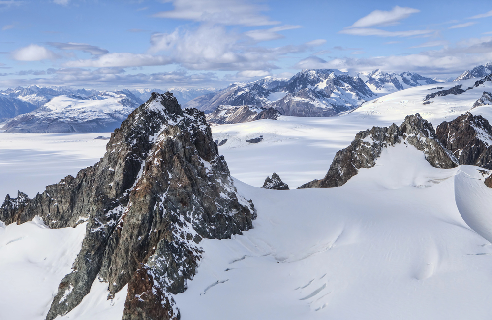
Mount Fairweather, at more than 15,000 feet, rises in the Fairweather Range near the coast of the Gulf of Alaska, and it can be seen on clear days from ships sailing the open coast near Glacier Bay. The peak ranks among the tallest coastal mountains in the world.
Few places on earth offer a view of a mountain this large from sea level, with nothing between the viewer and the summit but water. Clouds usually hide it, which makes a clear sighting a small piece of luck.
Kenai Fjords National Park and the Harding Icefield
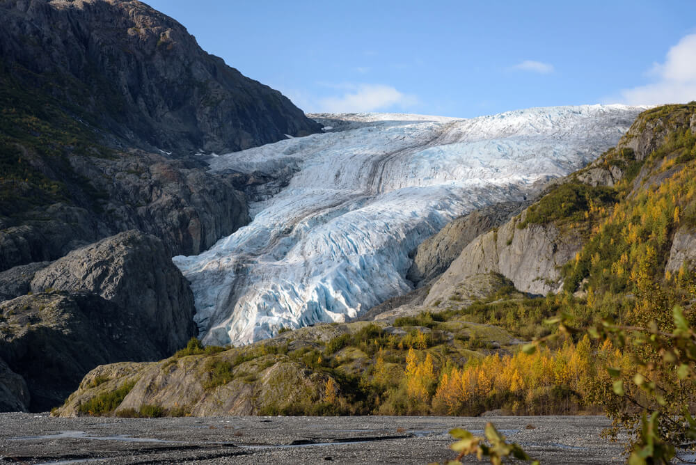
Kenai Fjords National Park, established in 1980, wraps the southern Kenai Peninsula, and its glaciers flow from the Harding Icefield, which covers about 700 square miles. Ships on Gulf of Alaska routes pass its rocky coast and deep bays, and glaciers slide into tidewater from the ice above.
The icefield itself is hidden above the cliffs, so the glaciers appear to emerge out of nowhere. The sea gives the proper scale to a landscape that spills from ice to ocean in a few miles.
Resurrection Bay and Seward
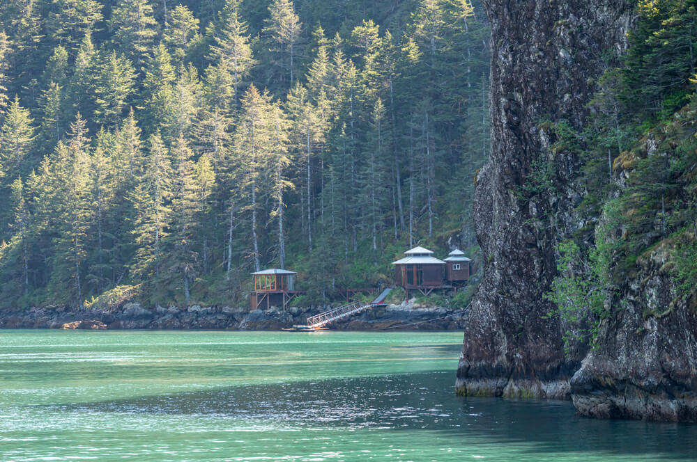
Resurrection Bay was named by Russian explorer Alexander Baranov in 1792, and today it is the water approach to Seward, a port ringed by steep mountains. Mount Marathon rises behind the town and hosts a footrace every July 4 that has run since 1915.
From the ship, the bay opens slowly, with mountains closing in on both sides, which sets up the cruise route that continues onward to the glaciers. Arriving by sea makes the harbor feel like a destination, which was the original idea.
Columbia Glacier in Prince William Sound
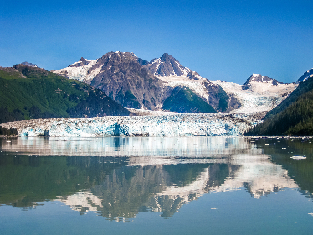
Columbia Glacier flows into Columbia Bay near Valdez and is one of the fastest-retreating tidewater glaciers in the world, having pulled back more than 10 miles since the early 1980s. It sheds icebergs in such volume that the bay is regularly packed with floating ice, which limits how closely vessels can approach.
Small expedition ships and day boats visit, and the ice that bobs along the hull is one of the sights of the trip. The retreat is visible from the water and is happening faster than any viewing platform could be built.
Sights That Only Make Sense at Water Level
Most of these places share a single feature: the water is the only thing that connects them. No road reaches the face of Margerie Glacier, the head of Tracy Arm, or the base of New Eddystone Rock.
A ship does not just provide a better angle, it provides a uniquely expansive vantage point, and the sights were framed for it long before anyone built a deck.
The pattern also explains why the best views come slowly. A glacier takes an hour to approach, a fjord takes an afternoon to cross, and the Inside Passage takes days to unspool.
Speed would flatten the experience, so the pace of a ship, which feels leisurely, turns out to be exactly right for a coastline built at this size.
More from Travel Pug
- Underrated Italian Towns That Beat the Tourist Crowds
- Las Vegas Tourist Traps to Skip
- Prettiest Towns in Every US State
- 18 passport-free countries for Americans
- Signs Your Cruise Is Not Worth The Cost
Like Travel Pug’s content? Follow us on MSN.