

Colorado’s mountain highways deliver some of North America’s most dramatic landscapes. These designated scenic byways climb through aspen forests, arc around 14,000-foot peaks, and occasionally make you grip the steering wheel a bit tighter on exposed switchbacks.
The state’s high elevation means many routes close in winter, making summer and fall the prime seasons for exploration. Here’s a list of 15 scenic byways where Colorado’s mountains take center stage.
Trail Ridge Road
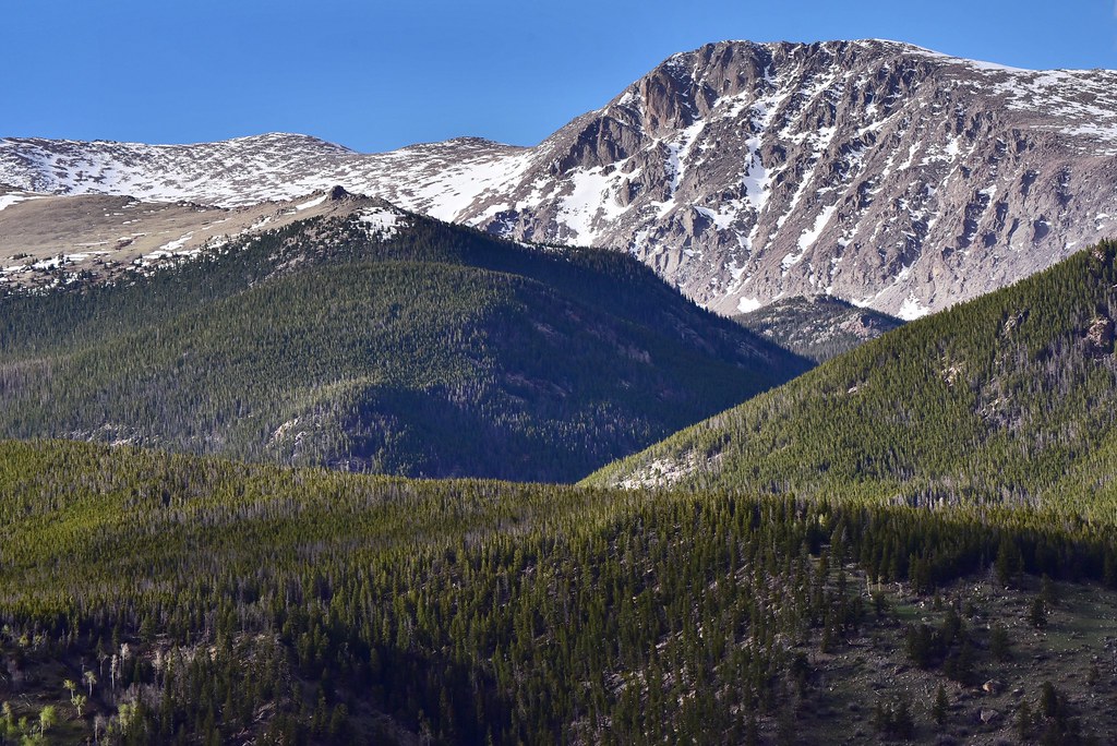
This route through Rocky Mountain National Park reaches 12,183 feet at its highest point, making it America’s loftiest paved road. The 48-mile drive crosses the Continental Divide and spends about 11 miles above the tree line in true alpine tundra.
Weather shifts fast up here—summer mornings can start sunny and turn to snow squalls by afternoon.
Million Dollar Highway
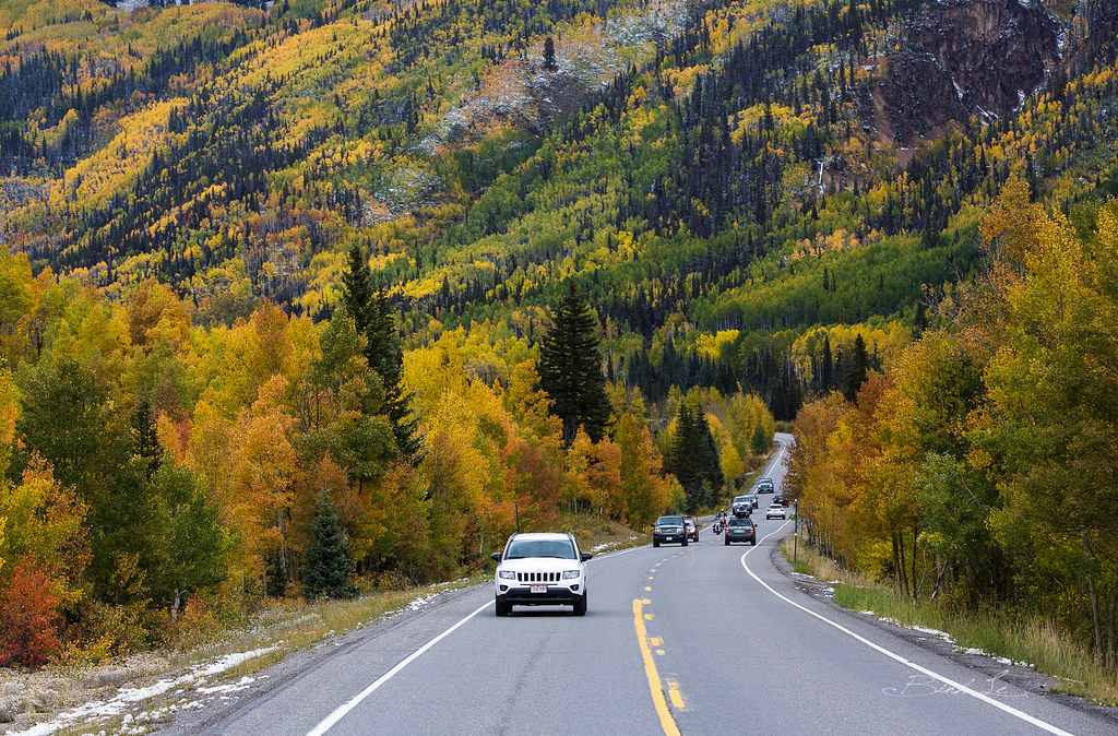
The stretch of US 550 between Ouray and Silverton earned its name either from the costly construction or the gold ore in the roadbed, depending on who’s telling the story. Sheer cliffs drop away on the outer edge with no guardrails in many sections, while walls of rock tower on the inside.
The Red Mountain Pass summit sits at 11,018 feet and offers views that justify white-knuckling the drive.
Pikes Peak Highway
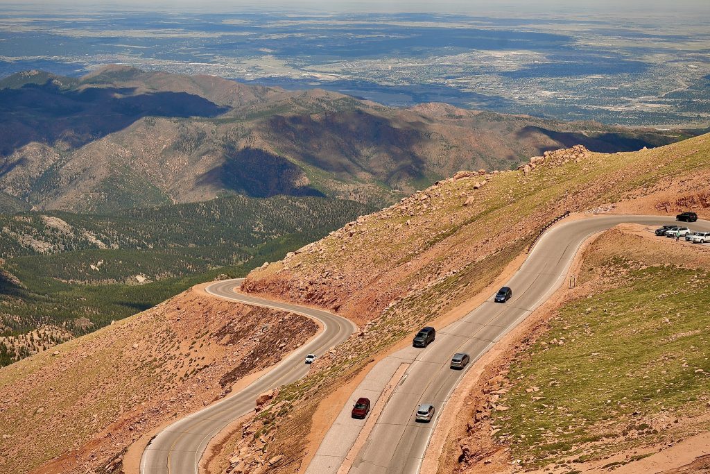
This 19-mile toll road climbs to the 14,115-foot summit of Pikes Peak through 156 turns. Katharine Lee Bates wrote ‘America the Beautiful’ after reaching this summit in 1893, inspired by the view.
The air gets noticeably thinner as you ascend, and many people experience altitude effects even though they’re just sitting in a car.
Mount Blue Sky Scenic Byway
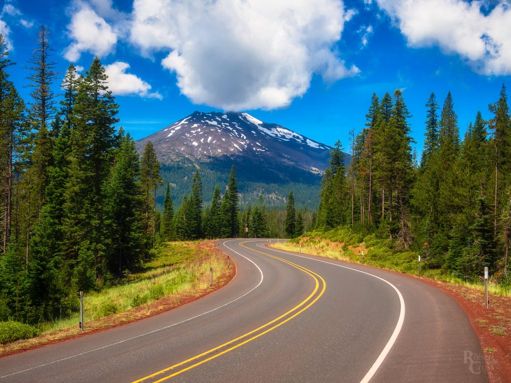
Starting near Idaho Springs, this road reaches 14,130 feet at Summit Lake, making it North America’s highest paved highway. The final stretch beyond Echo Lake climbs through bristlecone pine forests that are thousands of years old.
Mountain goats often wander the summit area completely unfazed by gawking tourists.
San Juan Skyway
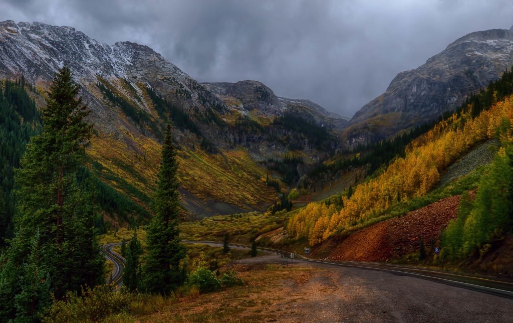
This 233-mile loop connects Durango, Telluride, Ouray, and Silverton through some of Colorado’s most photogenic mountain terrain. The route incorporates the Million Dollar Highway and crosses multiple high passes where mining towns cling to steep hillsides.
Fall transforms the aspen groves into golden waves that contrast sharply with the dark evergreens.
Top of the Rockies
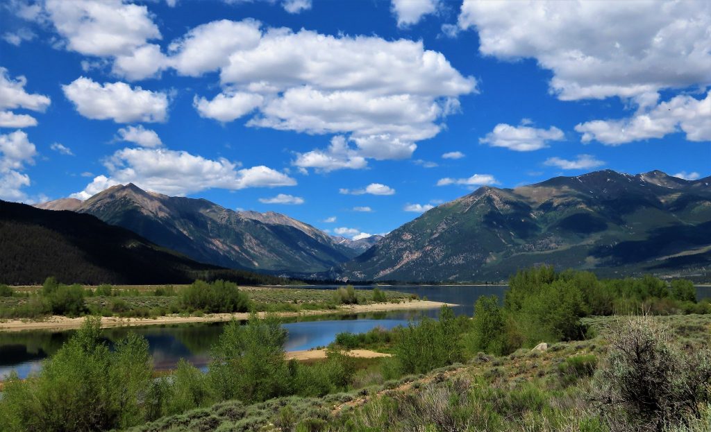
Highway 91 and portions of US 24 form this 75-mile byway through the Sawatch Range near Leadville. The route passes the headwaters of the Arkansas River and offers views of Colorado’s two highest peaks—Mount Elbert and Mount Massive.
Historic mining operations left their mark everywhere, from abandoned structures to the still-operating Climax molybdenum mine.
Guanella Pass
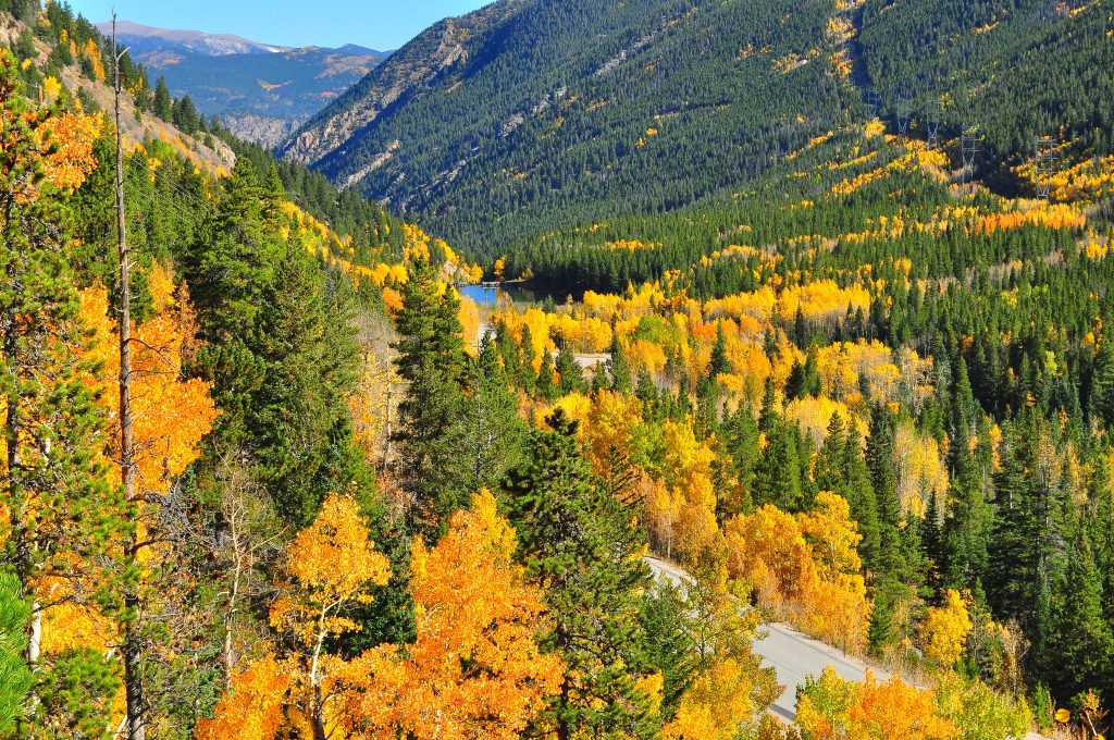
This 22-mile route between Georgetown and Grant reaches 11,669 feet and provides one of the more accessible high-mountain experiences. The road is paved but narrow, climbing through dense forests before breaking into alpine meadows.
Mount Bierstadt, one of Colorado’s easier 14ers to climb, dominates the western view from the pass.
Peak to Peak Highway
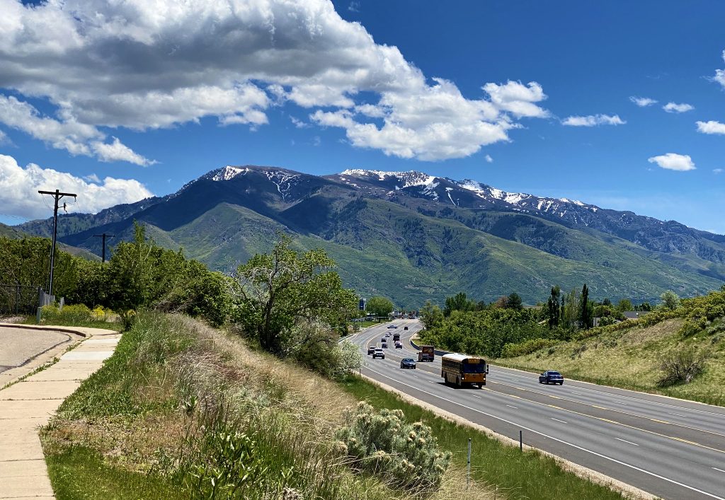
Stretching 55 miles between Estes Park and Black Hawk, this route skirts the eastern edge of the Continental Divide. The road doesn’t actually cross any high passes but maintains elevations between 7,000 and 9,000 feet while delivering constant views of the Indian Peaks and Rocky Mountain National Park.
Small mountain communities dot the route, each with their own character.
West Elk Loop
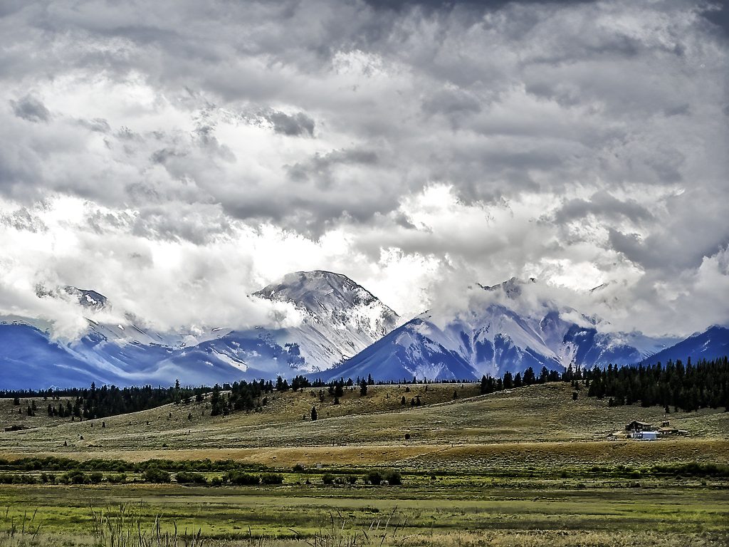
This 205-mile byway circles the West Elk Mountains through Crested Butte, Paonia, and Gunnison. The diversity stands out—you’ll pass through coal mining history in Somerset, wine country near Paonia, and the dramatic volcanic formations of the West Elk Wilderness.
Kebler Pass section showcases Colorado’s largest aspen grove.
Grand Mesa Scenic Byway
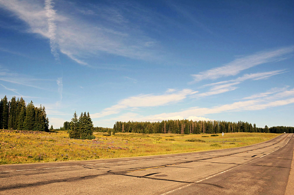
Highway 65 crosses the world’s largest flattop mountain, where over 300 lakes dot the summit plateau at 10,000 feet. The route climbs from desert landscapes near Grand Junction to thick forests and alpine lakes in just 63 miles.
The contrast between the arid valleys and the lush mesa top feels more dramatic than the elevation change alone would suggest.
Cache la Poudre-North Park
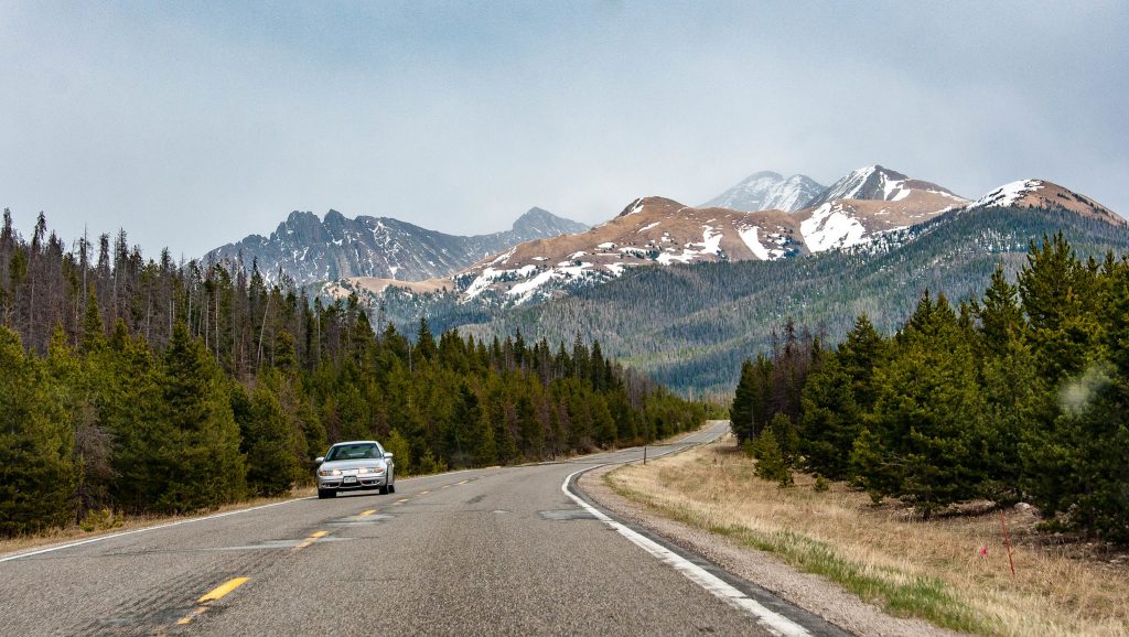
Following the Cache la Poudre River for much of its length, this 101-mile route climbs through Poudre Canyon before crossing Cameron Pass at 10,276 feet. The descent into North Park reveals a massive high-altitude basin ringed by mountains.
Wildlife viewing opportunities increase dramatically in North Park, where moose and elk populations thrive.
Cottonwood Pass
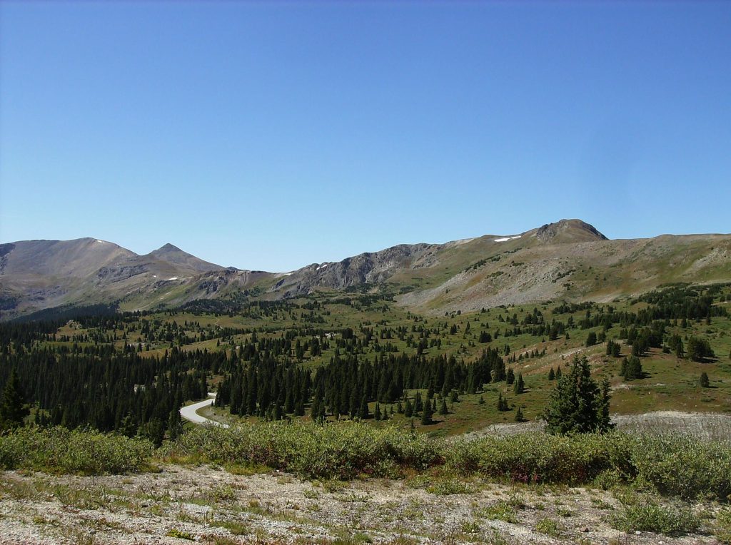
This seasonal route between Buena Vista and Gunnison crosses the Continental Divide at 12,126 feet. The eastern approach climbs steadily through forests and meadows, while the western side drops more dramatically.
The pass typically opens in late May or June and closes with the first major October snowfall.
Colorado River Headwaters
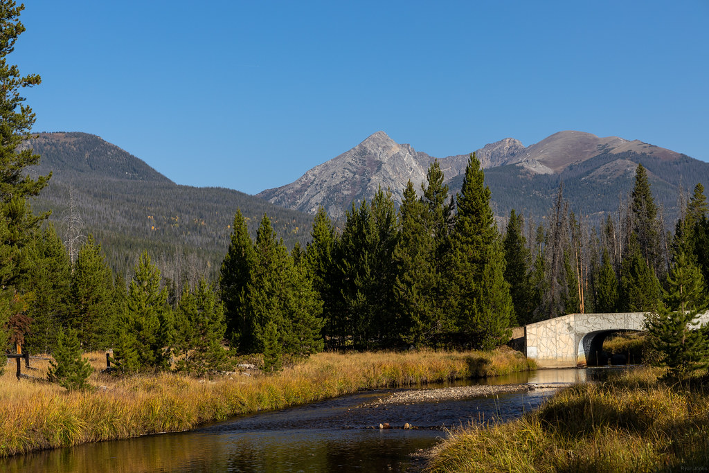
Highway 9 from Kremmling to Silverthorne follows the Colorado River through a broad valley with the Gore Range dominating the western skyline. At 67 miles, this byway offers a mellower mountain experience than some of the high passes, but the views of jagged peaks reflected in ranching ponds have their own appeal.
The route passes through historic Kremmling and several reclaimed mining areas.
Silver Thread
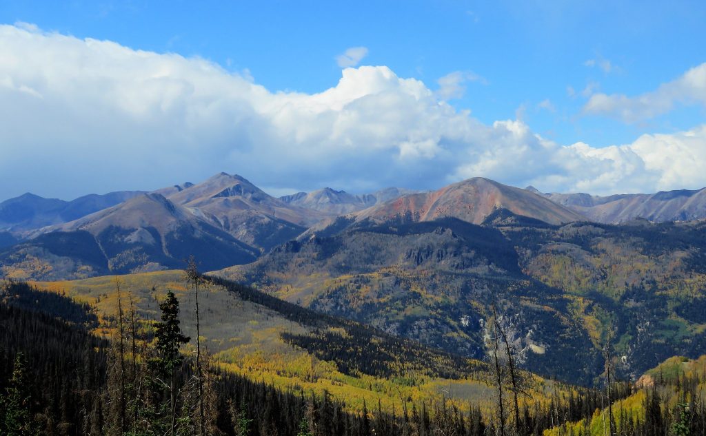
This 75-mile section of Highway 149 connects South Fork to Lake City through the Rio Grande National Forest. The road follows the Lake Fork of the Gunnison River past several towering waterfalls, including the 300-foot North Clear Creek Falls.
Slumgullion Pass provides views across the bizarre geology of the Slumgullion Earthflow, a massive ancient landslide that’s still slowly moving.
Dinosaur Diamond
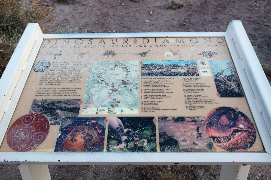
While primarily known for its prehistoric sites, this 486-mile loop through Colorado and Utah includes dramatic mountain passages. The Colorado portion near Rangely and Dinosaur provides views of the Bookcliffs and the unique canyon country where mountains meet desert.
It’s a longer commitment than most byways but combines paleontology with geology in ways unique to this region.
Where pavement meets sky
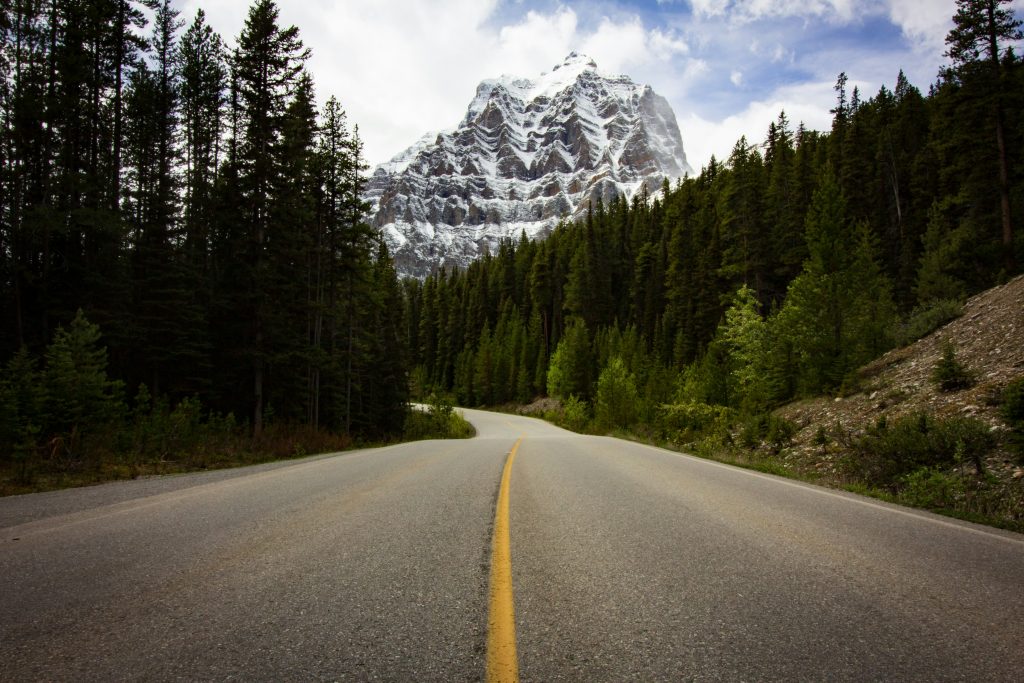
Colorado scenic byways make the drive an attraction in itself. These routes require attention to be paid to the act of driving while at the same time enticing a glance at the view outside.
In these mountains, the scenery is not merely backdrop but the impetus for activities which keep in focus the reason why people have always found themselves attracted to high places.
More from Travel Pug

- Underrated Italian Towns That Beat the Tourist Crowds
- Las Vegas Tourist Traps to Skip
- Prettiest Towns in Every US State
- 18 passport-free countries for Americans
- Signs Your Cruise Is Not Worth The Cost
Like Travel Pug’s content? Follow us on MSN.