

There’s something about standing on a ship’s deck at 5 AM, watching glaciers calve into the ocean while seals lounge on ice floes, that makes you realize how small your usual vacation complaints really are. Alaska from the water isn’t just a different perspective — it’s a completely different world.
The state’s most spectacular moments happen where land meets sea, in places you can’t drive to, hike to, or even helicopter into safely. These aren’t your typical cruise ship diversions.
While other destinations offer shuffleboard and poolside drinks, Alaska delivers experiences that exist nowhere else on earth. The kind that makes you forget about the Wi-Fi password and remember why people used to travel for discovery instead of Instagram posts.
Glacier Bay Calving Events
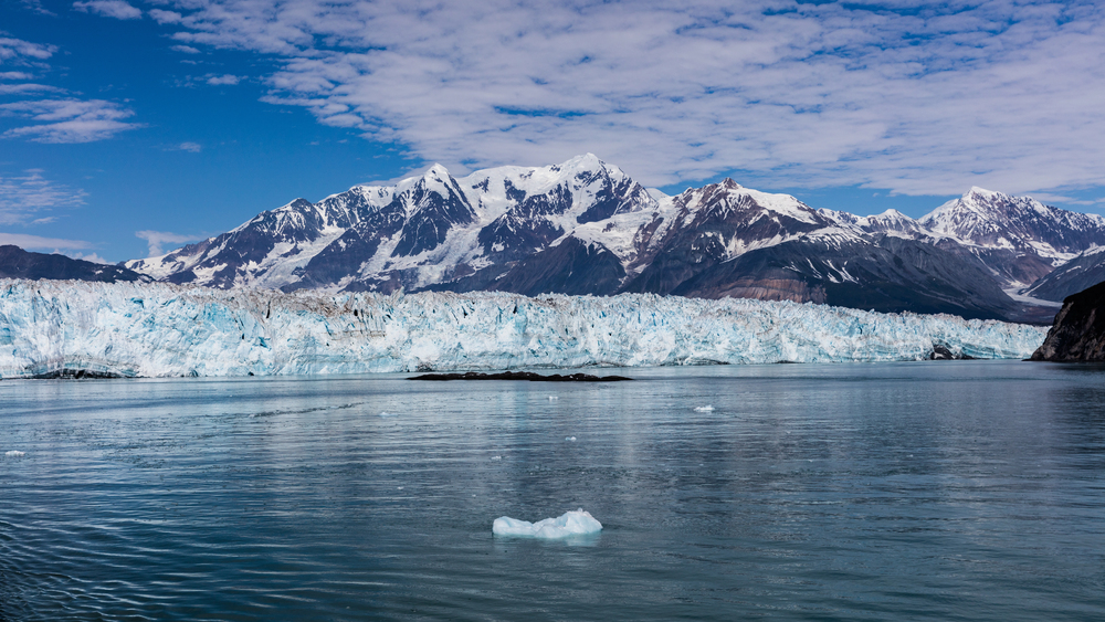
Glacier calving doesn’t wait for your schedule. Ice breaks off when it’s ready, sending thunderous cracks across the water that you feel in your chest before you hear them.
Ships position themselves at safe distances while passengers line the railings. The ice follows its own timetable.
Sometimes you wait hours for a small chunk to drop, other times, building-sized pieces crash into the bay without warning.
Humpback Whale Feeding Frenzies
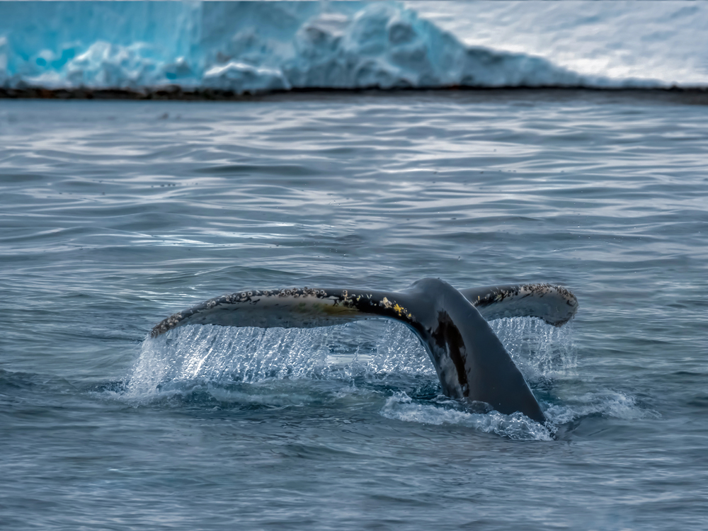
Humpback whales don’t care about your dinner reservations. When they’re bubble net feeding, they surface in coordinated groups with mouths wide open, gulping down everything in their path.
The technique involves multiple whales swimming in spiraling circles underwater, creating nets of bubbles that trap fish. They breach simultaneously, sometimes a dozen at once.
No aquarium can replicate the scale or the chaos.
Icy Strait Point Wilderness Access
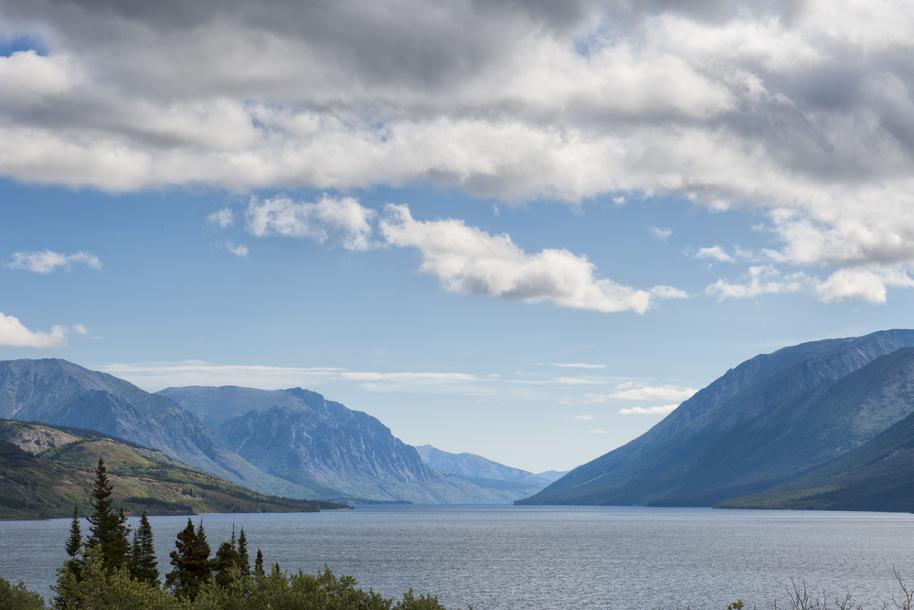
Most of Alaska’s wilderness requires serious planning to reach — float planes, hiking permits, guide services that book months ahead. But cruise ships dock directly at Icy Strait Point, dropping passengers into one of the largest privately owned wilderness preserves in the world without any of the usual bureaucratic hassle.
So you walk off the ship and straight into bear country, which feels almost unfairly easy given how much effort most people put into accessing places like this. And yet the bears don’t seem to mind the shortcut (though they do seem mildly puzzled by the sudden appearance of several hundred people in matching rain jackets, which is understandable).
The preserve spans over 23,000 acres, but the strange thing isn’t the size — it’s how quickly the crowds disperse once you’re off the main paths, leaving you alone with spruce forests and the kind of silence that makes you realize how much background noise your brain usually filters out. There’s something almost unsettling about having this much wilderness handed to you so casually.
Most remote places make you earn them through discomfort, planning, and at least moderate suffering. Here, you simply wake up and find yourself surrounded by the kind of landscape that usually requires expedition-level commitment to reach.
Tracy Arm Fjord Navigation
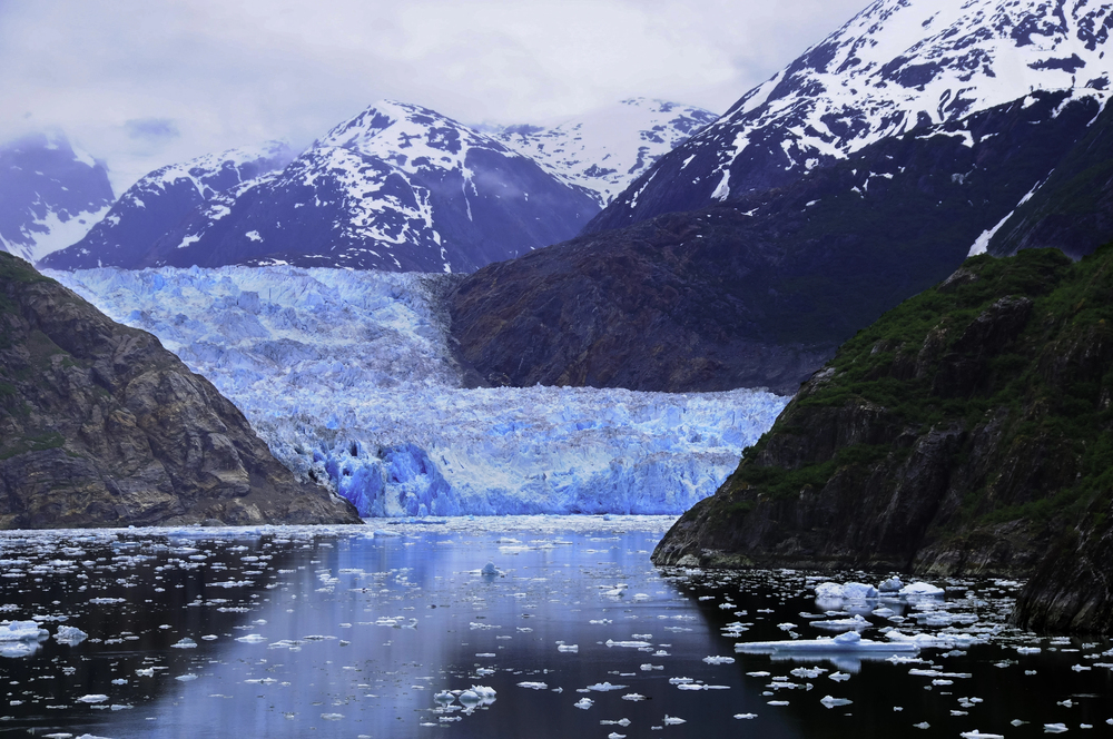
Fjords are stubborn things. They don’t reveal themselves all at once, but in pieces, as if testing your patience before delivering their best moments.
Tracy Arm keeps its secrets until the ship rounds each bend, then opens briefly into cathedral-sized spaces before closing in again. The walls rise 3,000 feet on both sides, close enough to feel enclosed but distant enough to make you crane your neck trying to see the top.
It’s geology as theater, performed at a scale that makes you reconsider what “dramatic” actually means.
Inside Passage Seamanship
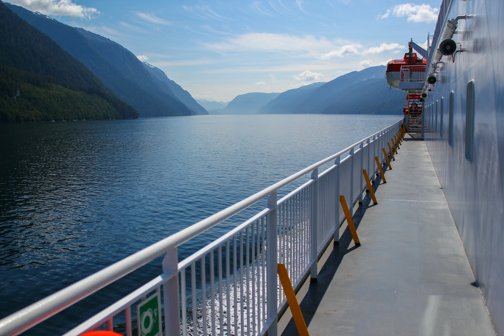
The Inside Passage demands a different kind of navigation than open ocean sailing. Captains thread ships through channels that sometimes narrow to less than a mile, reading tide charts and weather patterns that change hourly.
This isn’t about following GPS coordinates — it’s about understanding how water moves through confined spaces, how glacial runoff affects currents, and why certain passages only work at specific tide levels (which explains why cruise schedules are more suggestions than promises, something that frustrates passengers who don’t realize they’re witnessing seamanship rather than simple transportation). And the strange thing about watching professional mariners work these waters is how they make it look routine, even when they’re executing maneuvers that would challenge most recreational boaters in familiar lakes.
So you end up learning navigation by watching it happen around you, picking up concepts about tidal flow and channel depth that most people never need to consider. But there’s something oddly satisfying about understanding why the ship takes certain routes, why timing matters so much, and why the captain sometimes changes course based on radio chatter you can’t interpret but somehow trust.
The Inside Passage isn’t just a scenic route — it’s a masterclass in reading water, delivered by people who’ve spent decades learning how Alaska’s coastline behaves.
Midnight Sun Photography
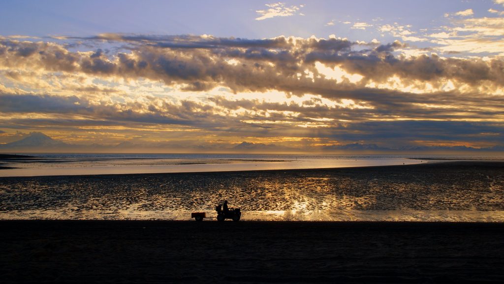
The midnight sun corrects your assumptions about light. At 11 PM, the quality resembles early morning rather than evening — soft, golden, impossibly long-lasting.
Photographers work in shifts, sleeping during what should be prime shooting hours and staying awake when their internal clocks insist it’s bedtime. The light never gets harsh, never creates the contrast problems that plague most landscape photography.
Everything looks like magic hour because it essentially is.
Tidewater Glacier Approach
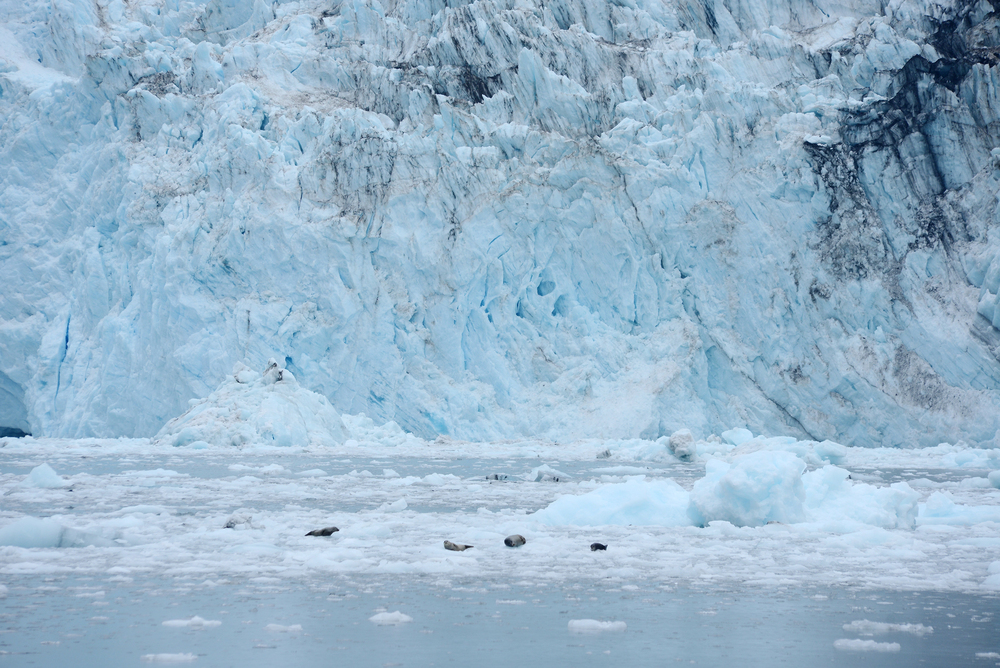
Tidewater glaciers end where they meet the sea, creating walls of ice that rise directly from deep water. Ships approach as close as safety allows, which is still close enough to see the blue ice and hear the constant groaning and cracking. Getting this close to an active glacier face isn’t possible on foot — the ice is unstable, the water is freezing, and the falling ice creates waves that would swamp small boats (which is why the Coast Guard maintains strict distance requirements for vessels under a certain size, though cruise ships, with their mass and professional crews, can get closer than anything else short of specialized ice-breaking research vessels).
And watching a glacier calve from a ship’s deck is entirely different from watching it from land — you’re seeing it from the perspective that matters, from where the ice is actually going rather than where it’s coming from. But the real revelation isn’t the calving — it’s the realization that these glaciers are rivers of ice in slow motion, flowing downhill at speeds measured in feet per year rather than feet per second.
So you’re watching geology happen, witnessing the same process that carved most of the valleys and fjords across Alaska, just slowed down to a pace human eyes can follow. The sound travels across the water in ways that feel almost prehistoric, rumbles and cracks that suggest the earth is still making itself, still deciding what shape it wants to be.
Ketchikan Creek Street Arrival
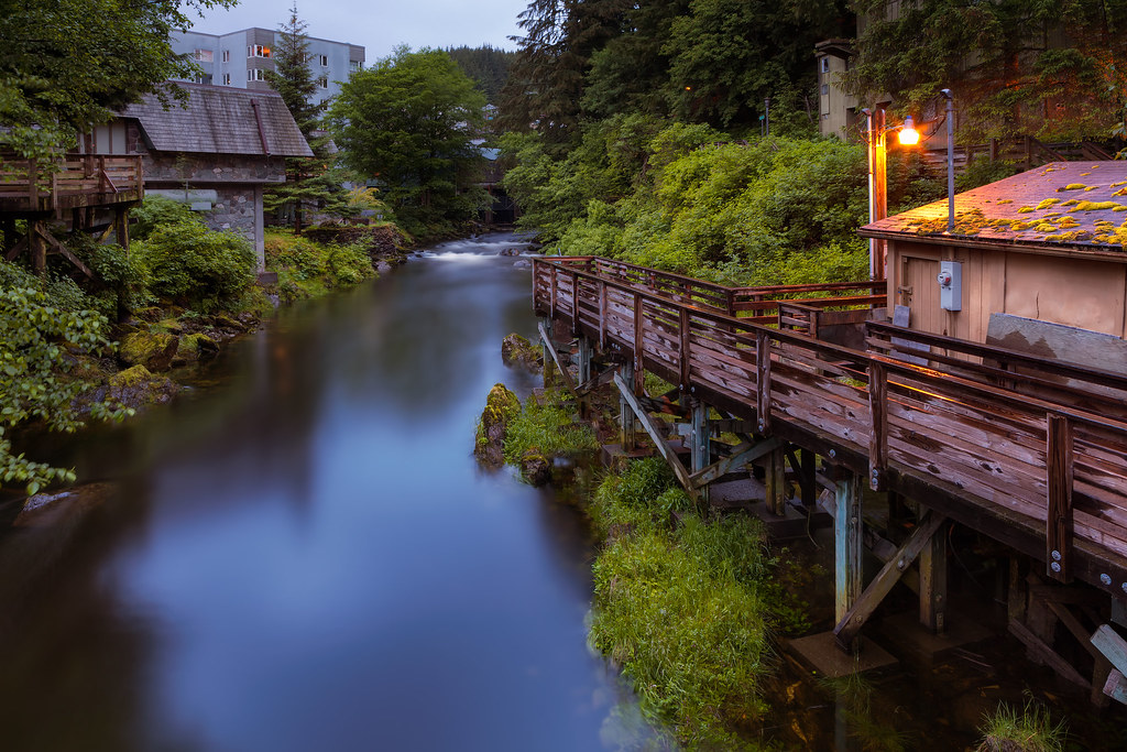
Creek Street floats. The historic district sits on pilings above Ketchikan Creek, accessible only by boat or by walking through downtown Ketchikan first.
Arriving by cruise ship puts you at the right elevation to see the stilted buildings from their best angle. The boardwalks connect buildings that would otherwise require wading through salmon-filled water to reach.
It’s Alaska’s version of Venice, minus the crowds and plus the fish.
Sea Otter Raft Observations
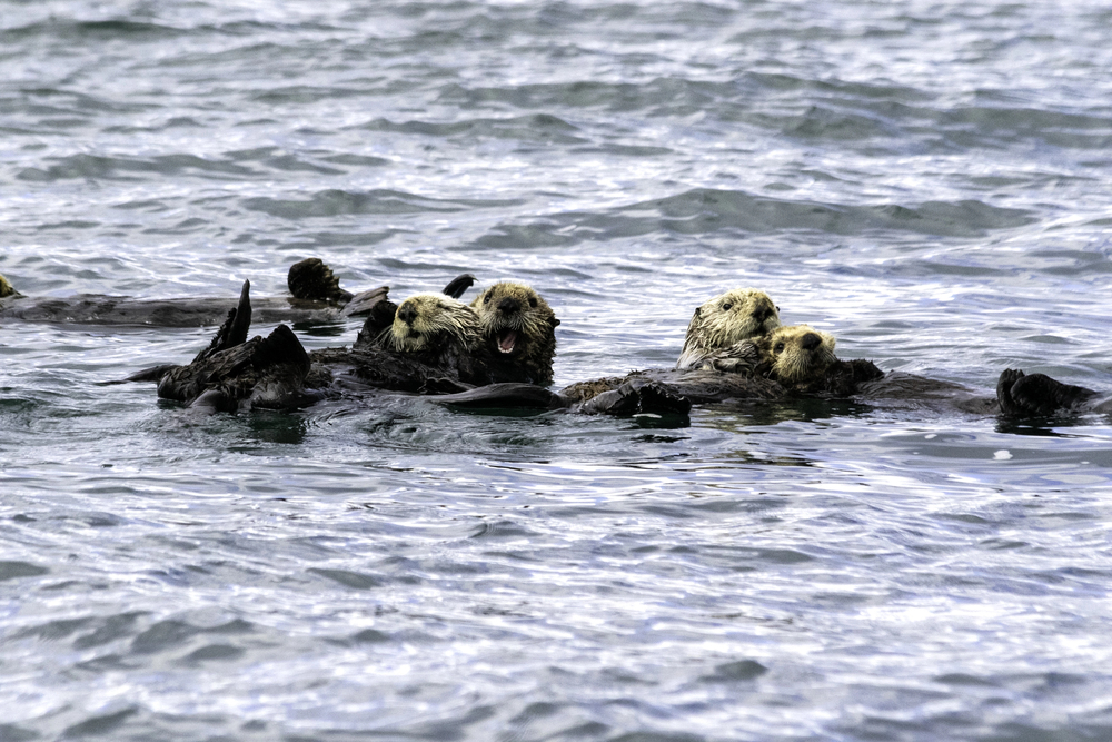
Sea otters link paws while sleeping to avoid drifting apart in ocean currents. Groups of floating otters, called rafts, can include hundreds of individuals, all holding hands in a living anchor system.
Ships encounter these rafts without warning. The otters don’t scatter when vessels approach — they simply continue floating, occasionally rolling over to get a better look at the ship.
It’s marine wildlife behavior that requires deep water and open ocean to observe properly.
Prince William Sound Weather Systems
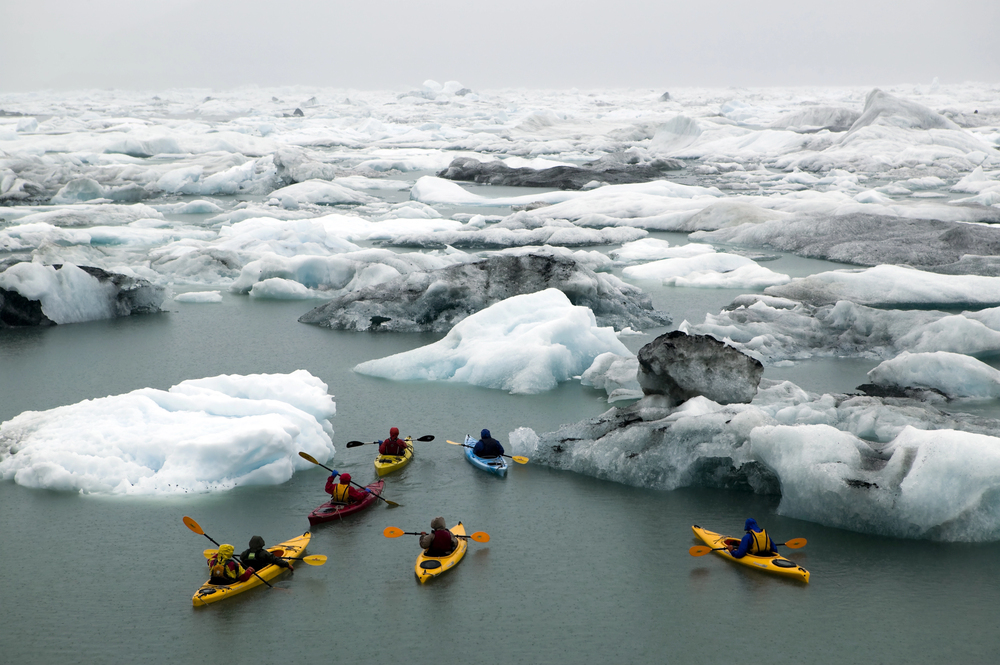
The weather in Prince William Sound changes faster than most people change clothes. Clear skies turn to rain squalls in minutes, then back to sunshine before you can find your rain jacket.
The mountains create their own weather patterns, trapping clouds in some valleys while leaving others completely clear (which is why the same storm can dump rain on one side of the sound while passengers on the other side wonder what everyone is complaining about, and why weather forecasts for the region read more like educated guesses than actual predictions). But experiencing weather as a ship-scale event is different from hiding from it on land — you’re moving through it rather than waiting for it to pass, watching how different areas handle the same storm system.
And there’s something almost meditative about watching weather develop across water, seeing rain lines approach from miles away and feeling the temperature drop as clouds move overhead. So you end up understanding weather as a dynamic system rather than something that simply happens to you, watching how wind patterns interact with mountains and how water temperature affects cloud formation.
The sound teaches you that weather isn’t something that happens to landscapes — it’s something that landscapes create, shape, and direct according to rules that become obvious once you see them from the right angle.
Hubbard Glacier Terminus Access
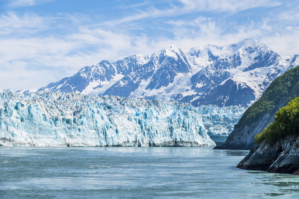
Hubbard Glacier is advancing, not retreating. The ice face stretches six miles across and rises 400 feet above the water, making it the largest tidewater glacier in North America.
Ships can approach within a quarter mile of the terminus, close enough to see individual seracs and crevasses. The glacier moves forward about 80 feet per year, which sounds slow until you realize you’re watching geological time in fast-forward.
No land-based viewpoint offers this perspective.
Juneau Icefield Overflight Alternative
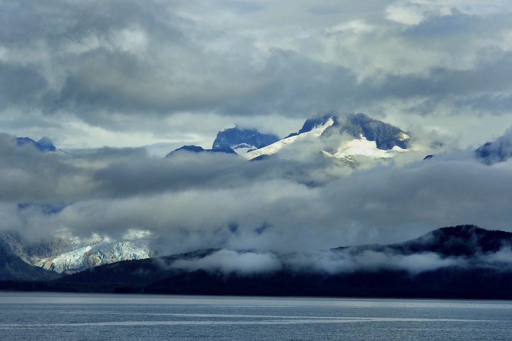
Helicopter tours require perfect weather and cost serious money. Cruise ship routes through Stephens Passage offer icefield views without the risk or expense.
The Juneau Icefield covers 1,500 square miles and feeds 38 glaciers. From the ship’s elevation, you can see how the ice flows between peaks, forming the highways of frozen water that eventually become the glaciers tourists visit.
It’s a geography lesson that makes sense of the whole system.
White Pass Railroad from Sea Level
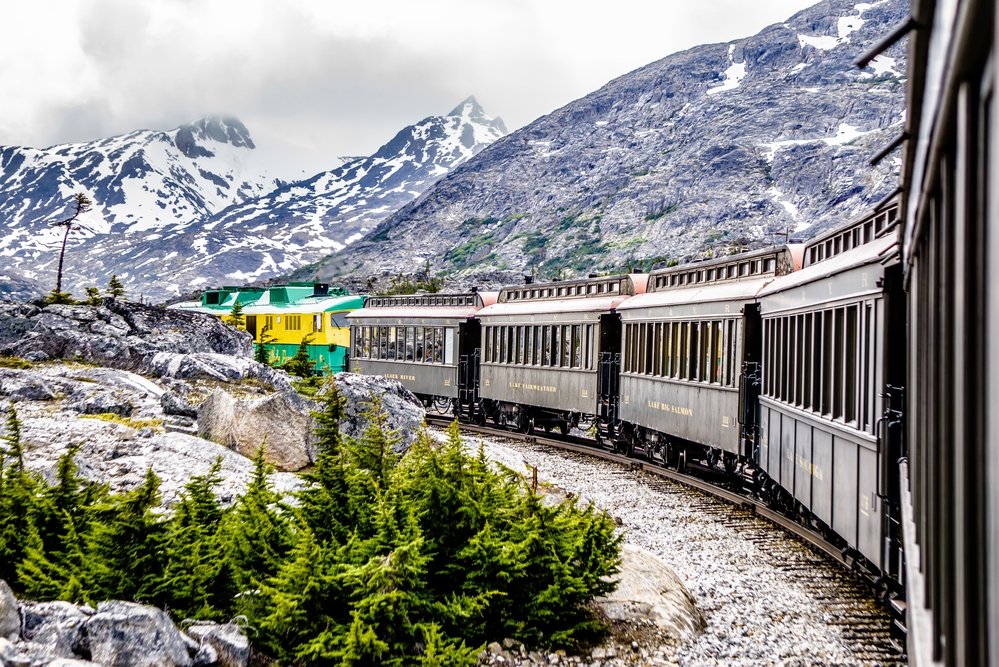
— Photo by digidream
The White Pass and Yukon Route Railroad climbs from sea level to 2,885 feet in just 20 miles, following the route gold rush stampeders took to reach the Klondike. But seeing the railroad’s starting point from a ship deck reveals the full scope of what those prospectors faced — not just a mountain climb, but a transition from temperate rainforest to alpine conditions in the space of a few miles.
The contrast becomes obvious when you’re looking up from sea level, watching the train disappear into terrain that looks nothing like where it started, which helps explain why so many stampeders turned around and went home, and why those who continued often spent their entire fortunes just reaching the goldfields. So you understand the White Pass route as an engineering problem rather than just a scenic train ride.
The railroad had to solve grades that killed pack animals, weather that changed every thousand feet of elevation, and terrain that shifted between solid rock and unstable permafrost without warning. And watching the train climb while you remain at sea level gives you the perspective the railroad builders had when they first surveyed the route — looking up at what seemed impossible and figuring out how to make it work anyway.
Mendenhall Glacier Watershed Viewing
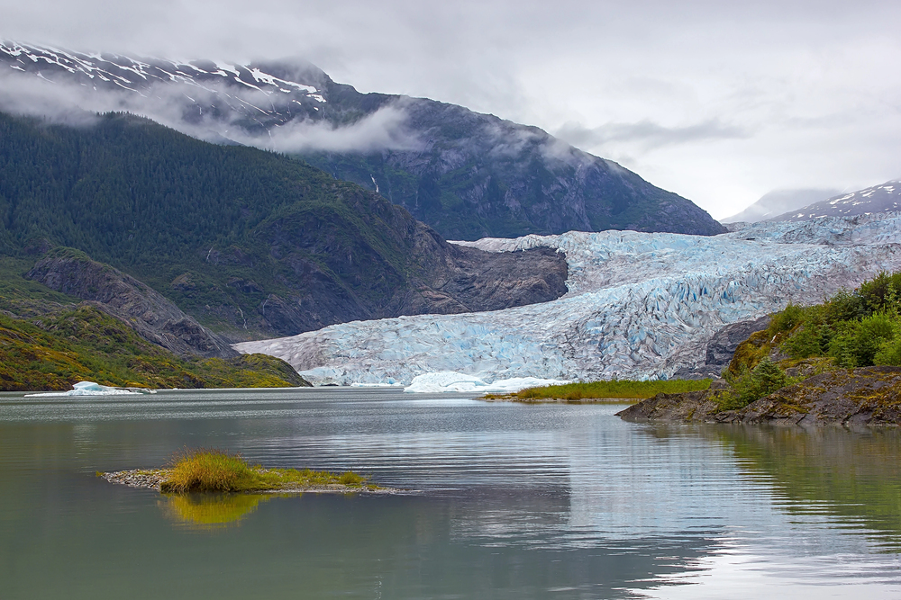
Mendenhall Glacier flows from the Juneau Icefield toward the sea, but most visitors only see the terminus and lake. Ships approaching Juneau reveal the glacier’s full watershed — the network of ice, snow, and tributary glaciers that feed the main flow.
The glacier extends back into the icefield for 13 miles, gathering ice from multiple mountain faces. From water level, you can trace the entire system, understanding how the glacier works rather than just admiring where it ends.
Alaska Marine Highway Integration
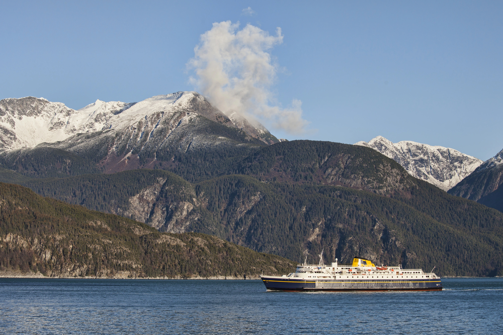
The Alaska Marine Highway System operates year-round ferry service to communities with no road access. Cruise passengers occasionally share waterways with these working ferries, which carry everything from mail to vehicles to residents commuting between islands.
Watching the ferry system work reveals how Alaskans actually live with their geography. These aren’t tourist boats — they’re essential infrastructure, operating in weather that would cancel most recreational travel.
It’s Alaska as a functioning place rather than a destination.
Chatham Strait Depth Soundings
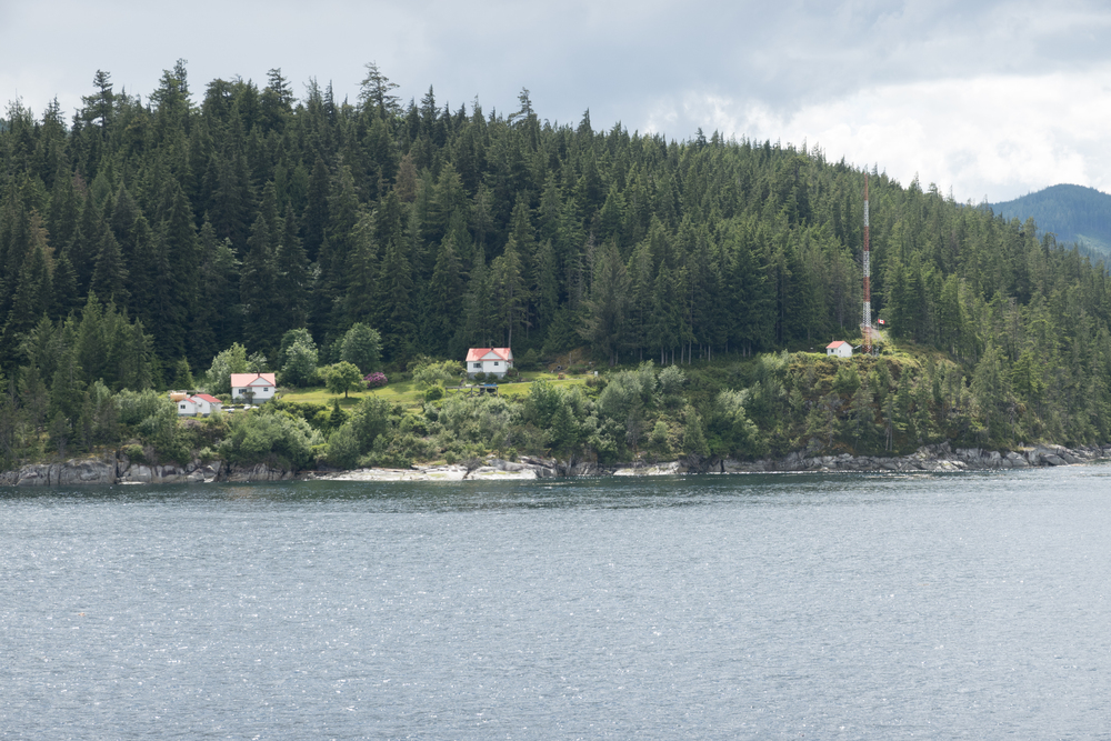
Chatham Strait reaches depths of over 1,000 feet, making it one of the deepest natural harbors in the world. Ships cross sections where the ocean floor drops away to abyssal depths, creating marine environments that support everything from surface-feeding seabirds to deep-water fish species.
The depth creates its own weather patterns, as deep water stays cold even when surface temperatures warm, and thermal layers that concentrate marine life at specific depths (which is why fishing boats and whale-watching vessels work the same areas ships pass through, following the vertical geography that determines where sea life concentrates). And experiencing that depth while floating on the surface gives you a strange sense of suspension, knowing that thousands of feet of water separate you from the sea floor.
But the depth also explains why Chatham Strait serves as a major shipping route — there’s room for large vessels to maneuver safely, and deep water means fewer navigation hazards. So you’re traveling through what amounts to an oceanic highway, following routes that freighters, fishing boats, and Navy vessels have used for decades.
The strait demonstrates how underwater topography shapes everything that happens on the surface, from wildlife distribution to shipping routes to weather patterns that seem random until you understand what’s happening hundreds of feet below.
Russian Orthodox Heritage Viewpoints
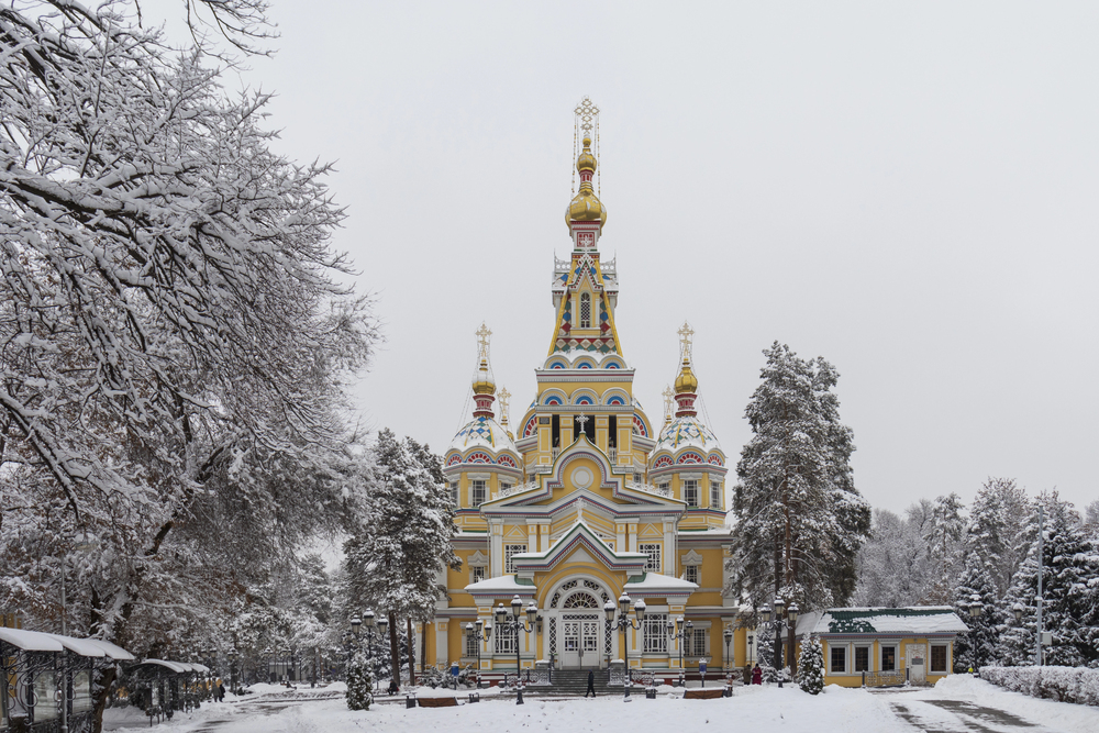
Russian Orthodox churches dot Alaska’s coastline in locations chosen for their visibility from the sea. These weren’t just parish churches — they were navigation aids and community centers for maritime cultures.
Sitka’s St. Michael’s Cathedral and other Orthodox churches make perfect sense when viewed from ship elevation. Their onion domes and crosses were designed to be seen by sailors approaching from miles offshore.
The Russian colonial period lives on in architecture positioned for ship passengers rather than car traffic.
Salmon Run Tidal Synchronization
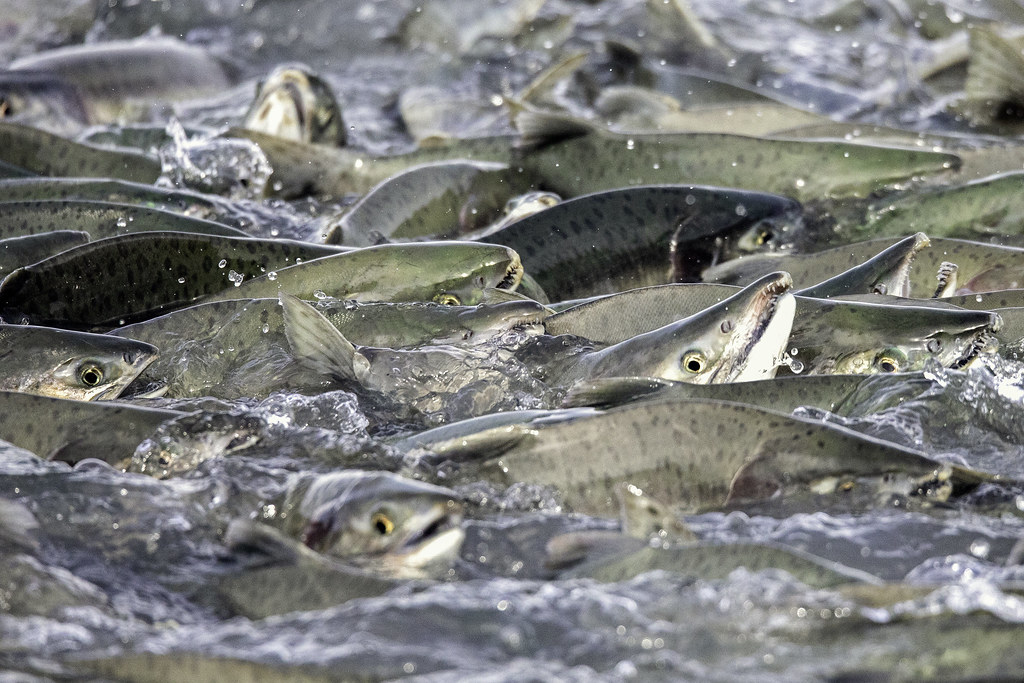
Salmon run their movements with tidal cycles, using incoming tides to help them navigate upstream. Ships entering salmon-bearing rivers during peak runs witness thousands of fish moving in coordination with the water they’re floating on.
The salmon don’t just swim upstream — they wait for optimal tidal conditions, then move in massive groups. Watching this from a ship’s deck reveals the connection between oceanic rhythms and freshwater spawning.
Its marine biology and hydrology combined into a single observable event.
Cross Sound Weather Transition
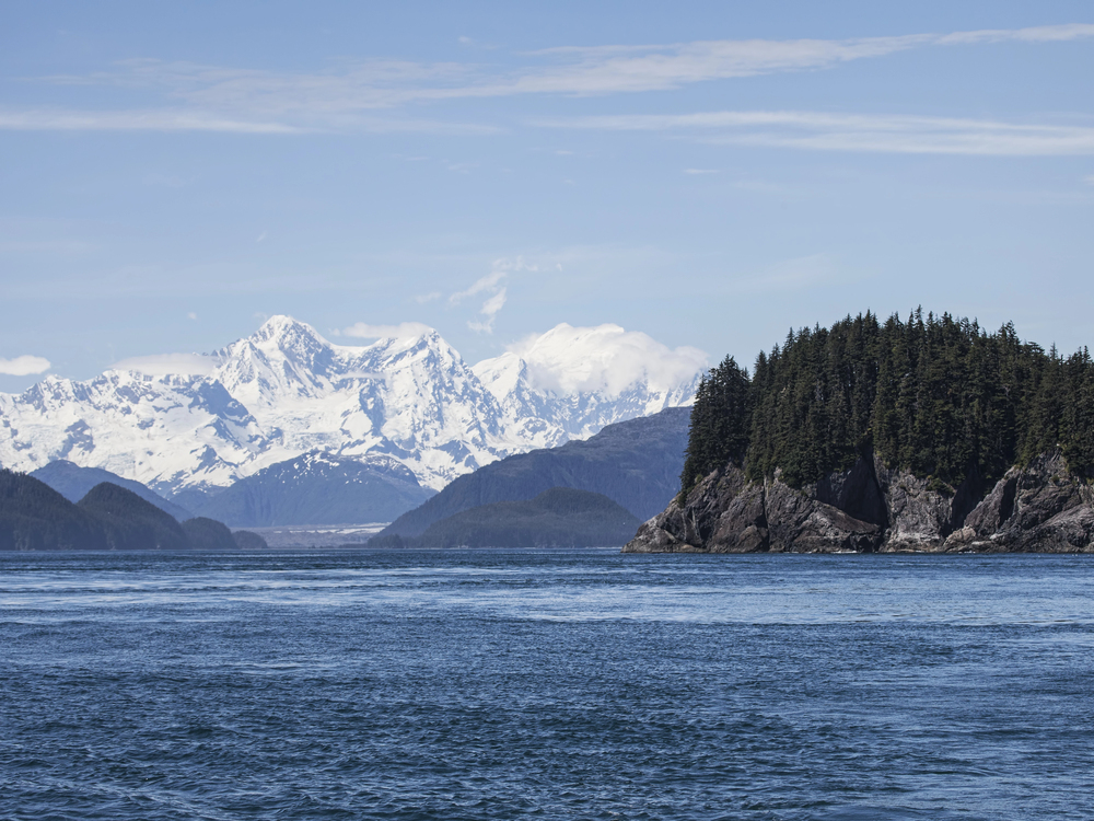
Cross Sound marks the boundary between the protected Inside Passage and the open Gulf of Alaska. Ships crossing this threshold experience immediate weather changes as they leave sheltered waters.
The transition happens within miles — calm interior waters give way to ocean swells, and weather systems that couldn’t penetrate the Inside Passage suddenly dominate conditions. Passengers feel the difference before they see it, as the ship’s motion changes from gentle rocking to oceanic rolling.
Baranof Island Hot Springs Access
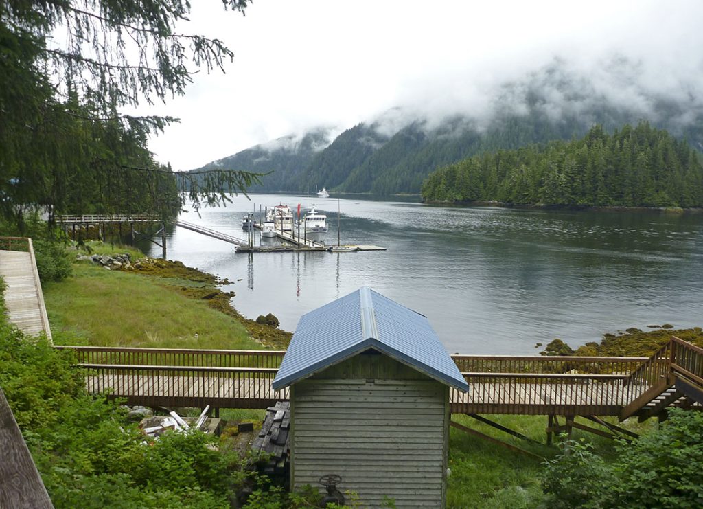
Baranof Warm Springs sits on the shoreline of Baranof Island, accessible primarily by boat or seaplane. The natural hot springs flow directly into the ocean, creating temperature gradients in the surrounding water.
Cruise ships occasionally anchor offshore, offering passengers views of one of Alaska’s few coastal hot springs (though getting into the springs requires small boat transfers and advance planning, which most cruise itineraries don’t accommodate, leaving passengers to appreciate the geological novelty from a distance). But seeing hot springs that flow into salt water illustrates the volcanic activity that shaped much of Southeast Alaska, evidence of the tectonic forces still active beneath the region.
And there’s something almost mystical about watching steam rise from springs while glaciers remain visible on nearby mountain peaks, a reminder that Alaska contains multiple climate zones within sight of each other. So you end up understanding the complexity of Alaska’s geology, how volcanic heat and glacial ice can coexist in the same landscape, creating environments that seem impossible until you see them working together.
The springs represent the kind of natural contradiction that makes Alaska fascinating — hot water flowing into cold oceans, creating microclimates that support plant and animal life that shouldn’t exist at these latitudes.
Frederick Sound Bubble Net Feeding
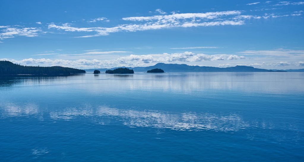
Frederick Sound serves as a major feeding area for Southeast Alaska’s humpback whale population. The whales use bubble net feeding techniques, working in coordinated groups to trap fish and krill.
Ships encounter these feeding frenzies without scheduling them. Multiple whales surface simultaneously inside nets of bubbles they’ve created underwater.
The feeding behavior requires deep water and abundant prey — conditions that exist naturally in Frederick Sound but can’t be replicated in captivity or shallow waters.
Lynn Canal Fjord Proportions
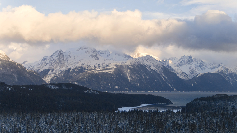
Lynn Canal stretches over 90 miles inland, making it the longest and deepest fjord in North America. The scale becomes apparent only from water level, where mountains rise directly from deep water without foothills or gradual transitions.
Ships travel for hours through scenery that maintains the same dramatic proportions. The fjord demonstrates glacial carving at a continental scale — this isn’t a valley that was flooded, but bedrock that was carved by ice moving with geological patience.
The proportions dwarf everything else.
Inian Islands Tidal Races
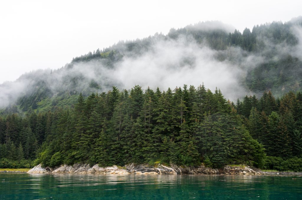
The Inian Islands create tidal races as water flows around and between the small islands. Current speeds can reach eight knots, creating standing waves and whirlpools that challenge even large vessels.
Ships time their passage through the islands to coincide with favorable tides. Passengers watch navigation become a precise art as captains read water conditions in real-time.
The tidal races demonstrate the power of moving water confined by island geography.
Chichagof Island Brown Bear Density
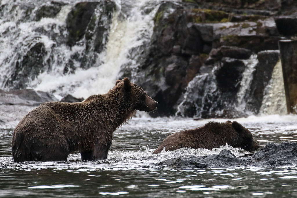
Chichagof Island supports one of Alaska’s densest brown bear populations — roughly one bear per square mile. Ships traveling along the island’s coastline occasionally spot bears fishing in coastal streams or foraging on beaches.
The bears ignore ship traffic, continuing their normal activities while passengers observe from safe distances. Bear viewing from ships eliminates the complex safety protocols required for land-based bear watching, while still offering opportunities to see the animals in their natural behavior patterns.
College Fjord Glacier Naming Convention
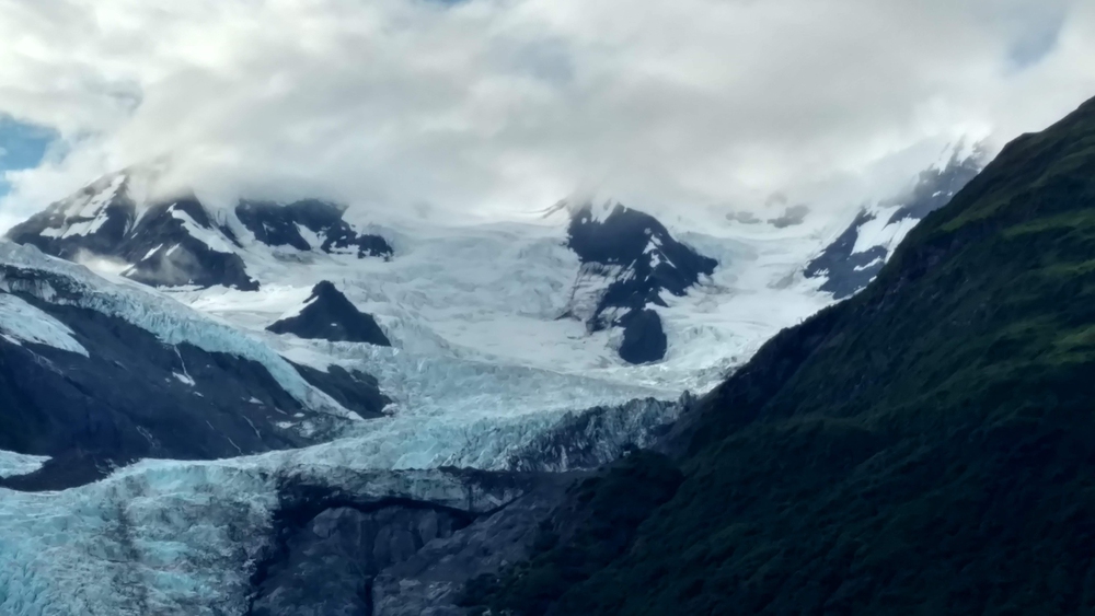
College Fjord contains multiple glaciers named after Ivy League colleges — Harvard, Yale, Princeton, Dartmouth, and others. The naming happened during a 1899 scientific expedition that included representatives from various universities.
Ships entering College Fjord pass multiple glacier termini within a few miles, creating a concentrated glacier viewing experience that exists nowhere else (the fjord essentially functions as a glacier museum, with each named glacier representing different flow patterns, terminus behaviors, and retreat or advance rates that passengers can compare directly). And the academic naming convention adds a layer of American history to what might otherwise be pure landscape viewing, connecting Alaska’s exploration period to the university system that helped fund early scientific research in the region.
The result is a fjord where passengers can compare multiple glaciers in a single panorama, each carrying both a geological story and a historical name.
The Water Route Changes Everything
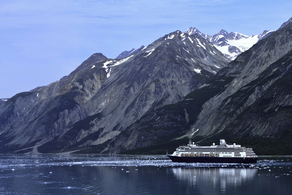
Alaska has a way of reminding people that maps can be misleading. Looking at the state on paper suggests a vast wilderness of mountains, forests, and remote towns. Seeing it from the water reveals something else entirely — a landscape shaped by glaciers, tides, weather, and coastlines that remain inaccessible by road.
The most memorable moments rarely happen in the ports themselves. They happen between destinations, when whales surface beside the ship, glaciers crack without warning, or a stretch of coastline unfolds that few people will ever experience from land. That’s what makes an Alaskan cruise different from almost every other vacation.
The ship isn’t simply transportation between attractions; it’s the key that unlocks places most travelers could never reach on their own. Long after the souvenir shops and excursion details fade from memory, passengers tend to remember the same things: the sound of calving ice echoing across a fjord, the sight of bears wandering untouched shorelines, and the feeling of moving through one of the last truly wild maritime landscapes on Earth.
Alaska’s greatest experiences aren’t waiting at the dock — they’re out on the water, where the state reveals its most extraordinary side.
More from Travel Pug
- Underrated Italian Towns That Beat the Tourist Crowds
- Las Vegas Tourist Traps to Skip
- Prettiest Towns in Every US State
- 18 passport-free countries for Americans
- Signs Your Cruise Is Not Worth The Cost
Like Travel Pug’s content? Follow us on MSN.