

Planning a cross-country drive brings something out in people that short trips never do. There’s the practical side — mapping stops, calculating gas, figuring out where to sleep.
But then there’s the other thing: the quiet anticipation of watching the country unfold mile after mile, state by state, until the landscape you started in feels like a different world entirely. America’s interstate system makes these epic journeys possible, and some routes stretch so far they become their own kind of adventure.
Interstate 90

I-90 runs about 3,020 miles from Seattle to Boston. That’s it.
No complicated route explanations needed.
The highway cuts straight across the northern United States without apology. You’ll drive through 13 states and see everything from Puget Sound to the Atlantic Ocean.
Most people take at least a week to do it properly.
Interstate 80
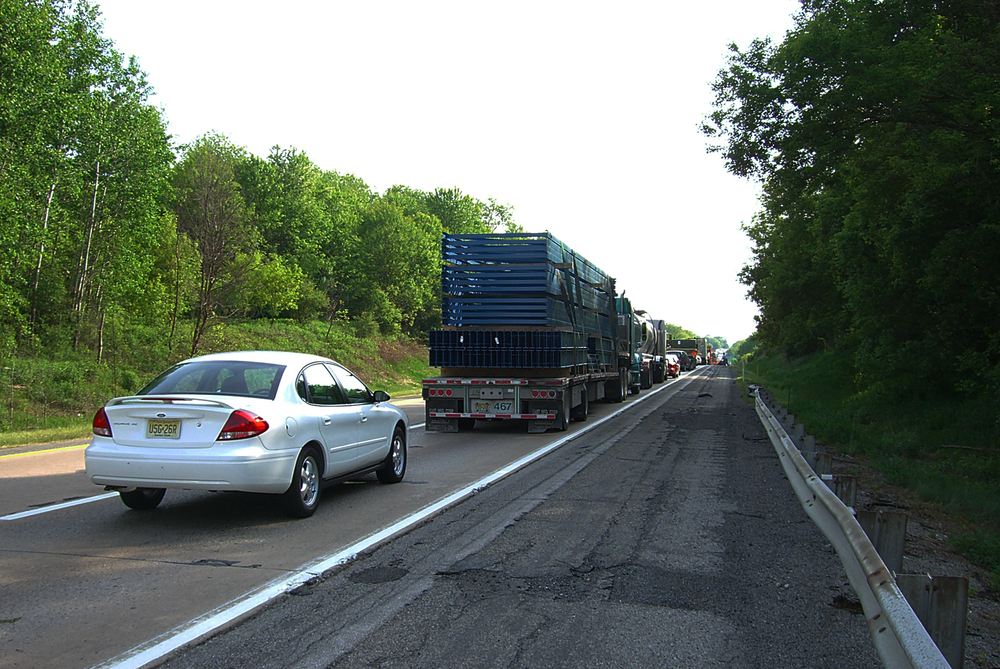
The 2,899-mile stretch from San Francisco to Teaneck, New Jersey, follows what used to be the Lincoln Highway, which means you’re essentially tracing the path that Americans have been using to cross the continent for over a century. And yet, when you’re driving through Nevada at 2 AM with nothing but sagebrush and distant mountains for company (because that’s what happens when you try to make good time on a route this long), you start to understand something about scale that no map really prepares you for.
The highway doesn’t curve around obstacles so much as it powers through them: over the Sierra Nevada, across the Great Salt Lake Desert, through the Rockies, and then across the Great Plains where the horizon becomes this stubborn line that never seems to get any closer no matter how fast you’re going.
So here’s the thing about I-80 — it’s not scenic in the postcard sense. But it’s honest.
The long, empty stretches between cities teach you patience. The mountains remind you that some things can’t be rushed.
And somewhere around Iowa, when you’ve been driving for three days and still have two more to go, you realize the journey stopped being about getting somewhere and started being about something else entirely.
Interstate 40

Picture the old Route 66, but with the romance replaced by efficiency and the roadside diners swapped for truck stops. That’s I-40 from Wilmington, North Carolina, to Barstow, California — 2,559 miles of America’s midsection laid out in four lanes of asphalt and concrete.
The highway carries the weight of practicality rather than nostalgia. Where Route 66 meandered and invited exploration, I-40 moves with purpose.
It crosses the Appalachians without ceremony, cuts through Nashville and Memphis like it has somewhere important to be, spans the Mississippi, and then settles into the long, steady rhythm of Oklahoma and the Texas Panhandle. The landscape shifts so gradually that you don’t notice the change until you look up and realize the trees are gone, replaced by vast sky and distant mesas that seem painted against the horizon.
But I-40 teaches you something about endurance — both your own and the country’s. The highway doesn’t pause for beauty shots or scenic overlooks.
It simply continues, mile after mile, connecting places that need connecting.
Interstate 10
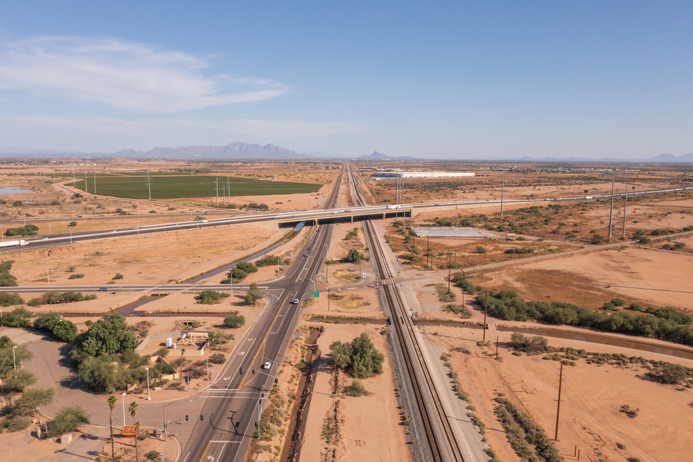
I-10 covers 2,460 miles from Santa Monica to Jacksonville, and it’s the southernmost transcontinental route in the interstate system. This matters more than it sounds.
The highway skips the mountains and snow that complicate northern routes. Instead, it stays close to the Mexican border, cutting through deserts and coastal plains where winter means something different.
You can drive I-10 in January without worrying about blizzards or ice storms, which explains why so many snowbirds treat it like their personal migration route.
The downside is heat. Summer temperatures in Arizona and New Mexico turn the highway into something that tests both your car’s cooling system and your patience with rest stop air conditioning.
Interstate 70
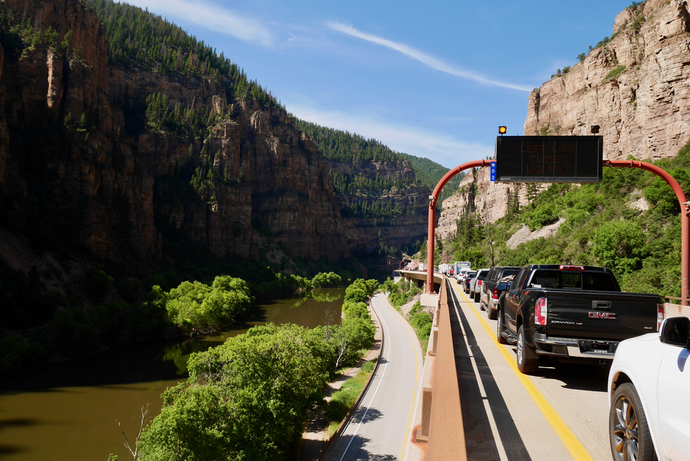
At 2,151 miles, Interstate 70 runs from Utah to Maryland and handles some of the most challenging terrain in the interstate system. The highway climbs through the Rockies with a stubbornness that seems almost personal — switchbacks, steep grades, and mountain passes that make your ears pop and your engine work harder than it wants to.
But here’s what makes I-70 different from other long interstates: it doesn’t avoid the difficult parts. Other highways route around mountains or follow river valleys to minimize elevation changes.
I-70 goes straight through. The Eisenhower Tunnel in Colorado sits at 11,158 feet above sea level, which means you’re driving through a mountain rather than over it.
The engineering required to punch a highway through the Continental Divide speaks to a particular kind of American confidence — the belief that if something’s in the way, you build through it rather than around it.
So I-70 becomes less about covering distance efficiently and more about conquering geography. The highway demands attention in ways that flatter routes don’t.
You can’t zone out and let cruise control handle the work when you’re climbing Vail Pass or descending into the Colorado River valley.
Interstate 75
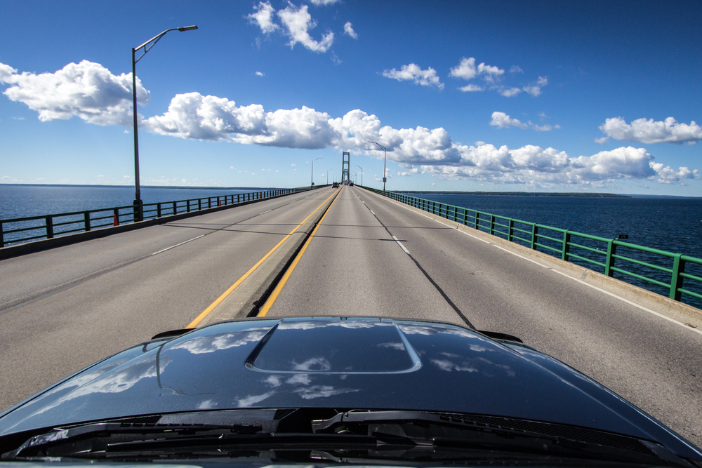
The 1,786-mile stretch from Miami to the Canadian border in Michigan follows a path that feels like a survey of American climate zones. You start in subtropical Florida, where palm trees and humidity make the air feel thick even with the windows up, and end in Michigan where winter means something serious and the landscape prepares accordingly.
I-75 moves through the Southeast with the patience of a river following its natural course. Through the pine forests of Georgia, the rolling hills of Tennessee, the bluegrass of Kentucky, it maintains a rhythm that matches the region’s pace.
The highway doesn’t rush through the South so much as it settles in, following terrain that cooperates rather than challenges.
The northern sections change character entirely. Ohio straightens out into farmland and industrial cities, while Michigan brings lakes and forests that hint at the wilderness that still exists beyond the interstate’s reach.
By the time you reach the Canadian border, the palm trees of Miami feel like something from a different country entirely.
Interstate 95
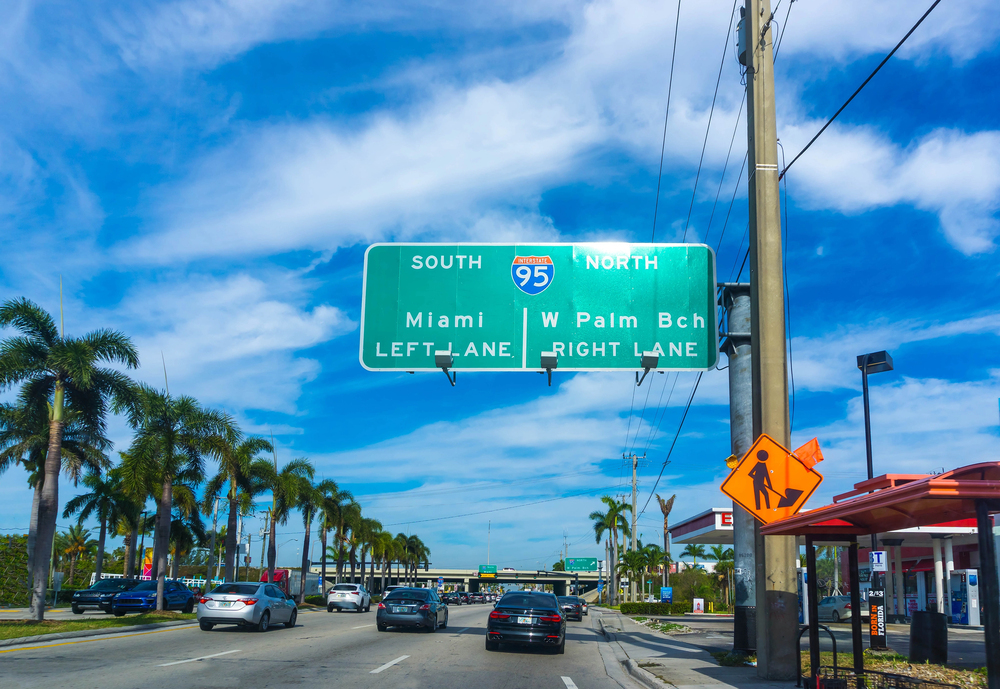
I-95 stretches 1,908 miles from Miami to the Canadian border in Maine, hugging the Atlantic coast like it’s following the shoreline on a map. But the highway rarely gives you glimpses of the ocean — instead, it cuts through cities, suburbs, and the dense infrastructure that accumulates along America’s most populated corridor.
This is the interstate of traffic jams and aggressive drivers, toll booths and construction zones that seem permanent. I-95 through New York and New Jersey tests your patience in ways that empty western highways never do.
The highway carries more traffic than it was designed for, which means rush hour starts earlier and ends later than anywhere else in the country.
But I-95 also connects more American history than any other interstate. Boston, New York, Philadelphia, Washington, D.C., Richmond, Savannah, St.
Augustine — the highway links the places where the country began and grew into what it became. So the traffic and frustration come with context: you’re driving through the corridor that shaped American civilization.
Interstate 35
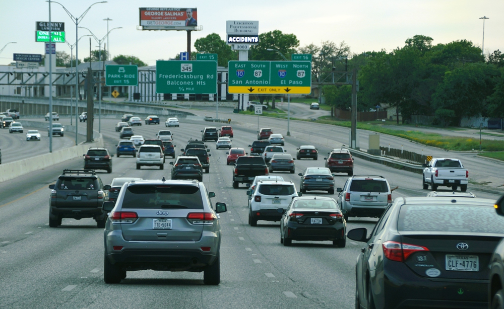
From Duluth, Minnesota to Laredo, Texas, I-35 covers 1,568 miles of America’s agricultural heartland. The highway splits into I-35E and I-35W around Minneapolis and Dallas, but otherwise maintains a straight north-south line that divides the country like a spine.
The route teaches you about American farming in ways that flying over it never could. Mile after mile of corn and soybeans in Iowa and Minnesota, wheat fields in Kansas, cattle ranches in Oklahoma and Texas.
The landscape changes so gradually that you don’t notice the transition until you look up and realize the corn has been replaced by cotton, or the flat farmland has given way to rolling hills.
I-35 carries less romance than the east-west interstates, but it offers something more fundamental: a direct line through the places that feed the country. The highway connects the Midwest’s production with the Southwest’s markets, and the truck traffic reflects that relationship.
This is America’s supply chain made visible.
Interstate 65
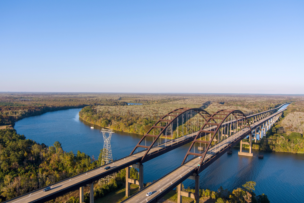
The 887-mile route from Mobile, Alabama to Gary, Indiana might seem modest compared to the transcontinental interstates, but I-65 packs more variety into its length than highways twice its size. You start in the Gulf Coast humidity of Alabama, climb through the mountains of Tennessee, cross Kentucky’s horse country, and end in the industrial landscape of northwest Indiana.
I-65 through Alabama feels Southern in a way that’s impossible to fake — small towns with courthouse squares, pine forests that seem to stretch forever, roadside stands selling boiled peanuts and peach ice cream. The highway follows the natural contours of the land, rising and falling with the terrain like it’s in no particular hurry to get anywhere.
But cross into Tennessee and everything changes. The highway tightens up, traffic increases, and Nashville appears like a mirage of glass and construction cranes.
From there north, I-65 becomes busier, more urgent, reflecting the economic energy of Louisville, Indianapolis, and Chicago’s gravitational pull.
Interstate 5
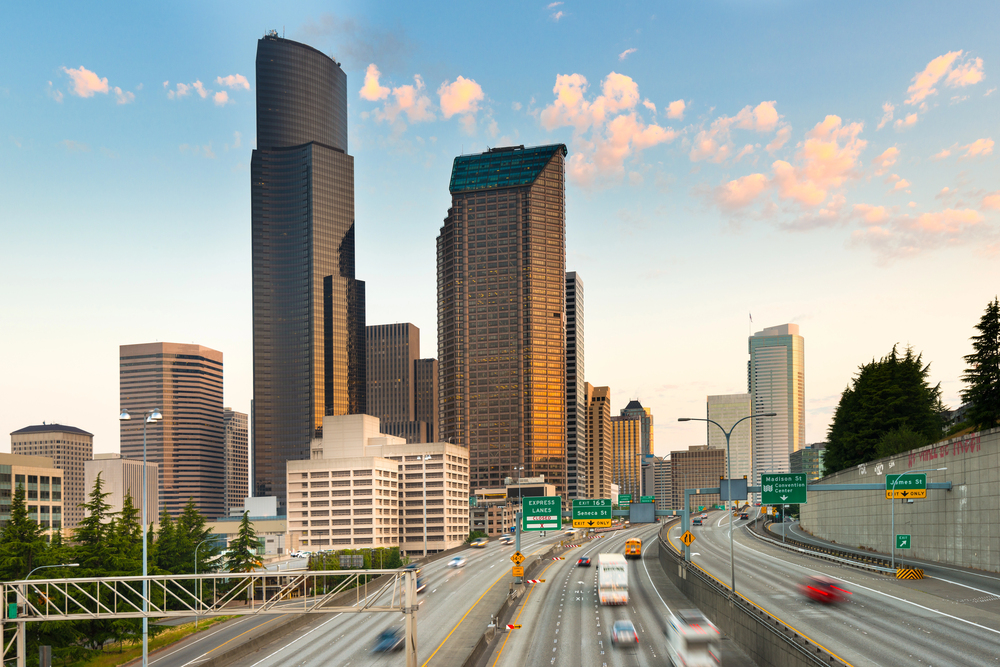
I-5 runs 1,381 miles from the Mexican border in San Diego to the Canadian border in Washington, following the West Coast with the Pacific Ocean always somewhere off to the right. But calling it a coastal highway misses the point — I-5 stays inland for most of its route, cutting through California’s Central Valley and Oregon’s Willamette Valley with the efficiency of a highway built for commerce rather than sightseeing.
The Central Valley section teaches you about California’s agricultural scale. Endless orchards, vegetable fields, and processing plants that turn crops into the food that appears in supermarkets across the country.
The highway parallels the Coast Range mountains without climbing them, maintaining gradual grades that keep truck traffic moving efficiently.
Oregon and Washington bring forests and a different kind of green than California offers. The landscape feels more vertical, more dramatic, as the highway threads between mountain ranges toward Seattle and the border beyond.
Interstate 25
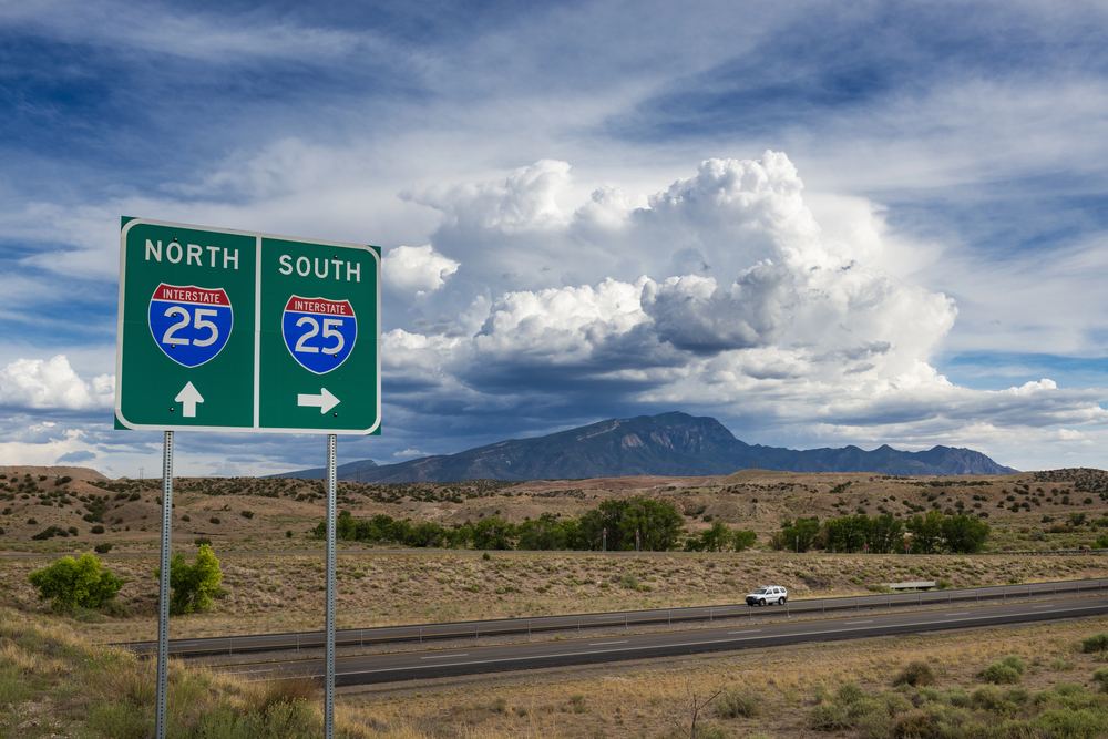
At 1,062 miles from Las Cruces, New Mexico, to Buffalo, Wyoming, where it meets I-90, I-25 follows the eastern edge of the Rocky Mountains like it’s tracing the boundary between the Great Plains and the mountain west. The highway climbs steadily north, gaining elevation so gradually that you don’t realize how high you’ve gone until you look east and see the plains spreading out below like a map.
New Mexico’s section feels like the Southwest distilled to its essence — desert punctuated by mesas, distant mountains shimmering in heat waves, and a sky so large it seems to curve at the edges. The highway passes through Santa Fe and Albuquerque, but the cities feel temporary compared to the landscape that surrounds them.
Colorado changes the equation entirely. The highway climbs through Denver and continues north through the country where winter weather can shut down traffic for hours.
Wyoming’s section brings wind that can push your car around the lane and distances that make you grateful for cruise control.
Interstate 15
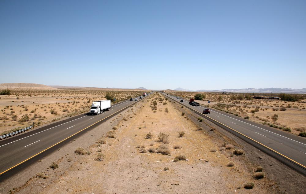
The 1,433-mile stretch from San Diego to the Canadian border in Montana cuts through some of the most dramatic landscapes in the interstate system, but it does so with the clinical efficiency of a highway built to move traffic rather than showcase scenery. I-15 climbs out of Southern California’s coastal basin, crosses the Mojave Desert, threads through Las Vegas, and continues north through Utah’s canyon country toward Salt Lake City and beyond.
But here’s what makes I-15 memorable: it doesn’t compromise with the terrain. The highway climbs the Cajon Pass out of Los Angeles with grades steep enough to require truck runaway ramps, crosses the Nevada desert where the next gas station might be 50 miles away, and cuts through Utah’s red rock country without pausing to admire the view.
The Wasatch Range north of Salt Lake City brings mountain driving that demands attention — steep grades, tight curves, and weather that can change from clear skies to blizzard conditions in the space of an hour.
So I-15 becomes a test of both mechanical reliability and driver endurance. The desert sections stress cooling systems, the mountain passes challenge engines, and the distances between services require planning that other interstates don’t demand.
Interstate 94
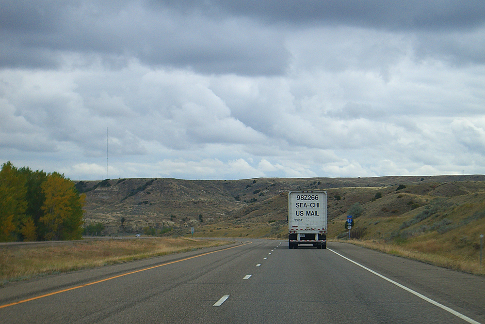
From Billings, Montana, to Port Huron, Michigan, I-94 covers 1,585 miles of northern plains and Great Lakes country. The highway begins in Montana’s big sky country, where the landscape seems designed to humble anyone who thinks they understand scale, and ends at the Michigan-Ontario border, where the industrial Midwest meets the Canadian Shield.
The northern plains section teaches patience. Montana and North Dakota offer distances that make you recalibrate your understanding of “nearby” — 100 miles between towns becomes normal, and you learn to watch the gas gauge with the attention it deserves.
The landscape doesn’t change mile by mile dramatically; instead, it maintains a vast consistency that either soothes or unsettles, depending on your temperament.
Minnesota brings lakes and forests, Wisconsin offers dairy country and rolling hills, and Michigan introduces the industrial landscape of the Great Lakes. By the time you reach Detroit, Montana feels like another country entirely.
Interstate 20
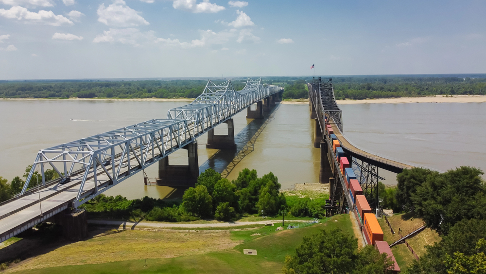
The 1,539-mile route from Kent, Texas to Florence, South Carolina cuts across the southern United States with the determination of a highway that knows where it’s going. I-20 begins in West Texas oil country, crosses the piney woods of East Texas and Louisiana, spans the Mississippi River, and continues through Mississippi, Alabama, Georgia, and South Carolina’s coastal plain.
This is the Deep South made accessible — not the romanticized version of Spanish moss and plantation tours, but the working South of oil refineries, lumber mills, and cotton fields. The highway passes through Shreveport, Jackson, Birmingham, and Atlanta, connecting the region’s industrial centers with the efficiency that interstate commerce requires.
I-20 through Louisiana and Mississippi brings humidity that makes the air feel solid, forests of pine and hardwood that seem to press against the highway, and distances between cities that remind you the South is larger than its stereotypes suggest.
Interstate 84
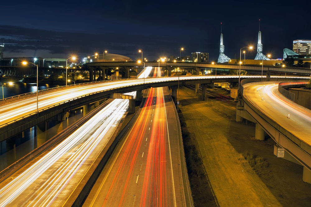
Two different highways carry the I-84 designation, but the western version from Portland, Oregon to Echo, Utah, covers 769 miles of Pacific Northwest mountains and high desert that showcase the region’s dramatic geography. The highway follows the Columbia River Gorge out of Portland, offering glimpses of waterfalls and basalt cliffs that make the Cascades feel like a natural cathedral.
But I-84 east of the mountains reveals a different Oregon entirely. The Cascade Range blocks Pacific moisture, creating high desert country where sagebrush and juniper replace the western forests.
The highway crosses country that feels empty in a way that suggests space rather than abandonment — distant mountains, wide valleys, and a sky that seems larger than it should be.
Idaho and Utah’s sections bring more mountains, different deserts, and the kind of landscape that makes you understand why the first transcontinental railroad required so much engineering. This is a country that doesn’t cooperate with transportation infrastructure — it has to be conquered mile by mile.
The long view
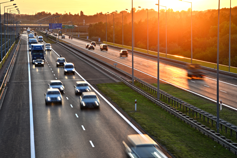
These highways trace the country’s skeleton — the framework that connects regions, economies, and cultures into something recognizable as a nation. Each route offers its own lesson in American geography, but together they form a network that makes the continental United States feel manageable rather than overwhelming.
The longest interstates don’t just cover distance; they compress the country’s scale into something a single driver can experience over the course of a week or two. That transformation — from abstract map to lived experience — might be the interstate system’s greatest achievement.
More from Travel Pug

- Underrated Italian Towns That Beat the Tourist Crowds
- Las Vegas Tourist Traps to Skip
- Prettiest Towns in Every US State
- 18 passport-free countries for Americans
- Signs Your Cruise Is Not Worth The Cost
Like Travel Pug’s content? Follow us on MSN.