

The Swiss Alps are home to some of the most jaw-dropping hiking terrain on the planet. With over 65,000 miles of marked trails cutting through glaciers, alpine meadows, and towering peaks, it’s the kind of place that makes you question why you ever spent a weekend indoors.
Narrowing it all down is the hard part. Here is a list of the 15 best hiking trails in the Swiss Alps, covering everything from easy lakeside strolls to serious mountain challenges.
The 5 Lakes Trail, Zermatt

This is one of the most iconic hikes in Switzerland, and for good reason. The 6-mile trail winds through a former glacier area, linking five mountain lakes — Stellisee, Grindjisee, Grünsee, Moosjisee, and Leisee — with the Matterhorn reflected in three of them.
It’s rated moderate, takes around 2.5 hours, and is the kind of hike that will eat up your camera storage before you’re halfway through.
Eiger Trail, Grindelwald

The Eiger Trail runs directly beneath the infamous north face of the Eiger, one of the most legendary peaks in the Alps. The trail stretches roughly 6 miles from Eigergletscher down to Grindelwald, with a largely downhill grade that makes it accessible to most reasonably fit hikers.
You’re essentially walking in the shadow of a mountain that has humbled some of the world’s best climbers — which gives it a certain edge that’s hard to beat.
Aletsch Glacier Trail, Fiescheralp
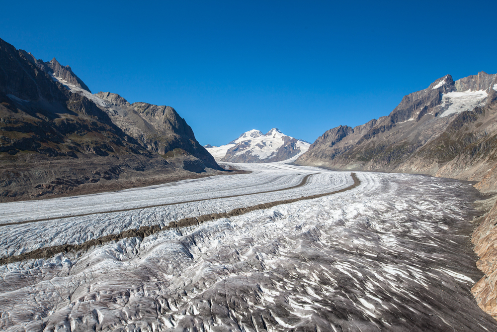
The Aletsch Glacier is the largest glacier in the Alps and a UNESCO World Heritage Site, and this trail puts you right alongside it. Starting from the Fiescheralp cable car station, the hike offers elevated views of the glacier stretching nearly 14 miles into the distance.
Keep your eyes open for marmots along the way — they’re practically a given on this trail.
Northface Trail, Mürren
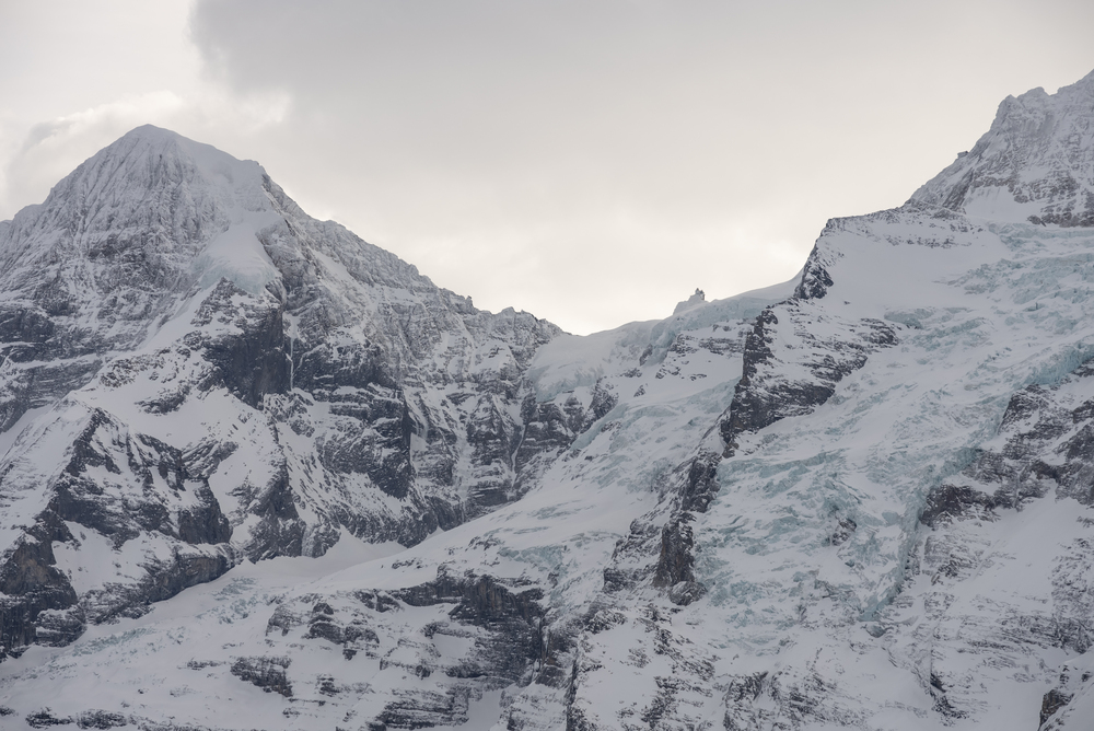
Don’t let the name intimidate you — this isn’t a technical climb. The Northface Trail in Mürren is a well-marked path that delivers panoramic views of the Eiger, Mönch, and Jungfrau, plus the dramatic Lauterbrunnen Valley below.
Twelve information boards along the route add some historical context to the scenery, and a short detour takes you to the Sprutz waterfall if you’re up for a little extra.
Bachalpsee Lake Hike, Grindelwald

This is one of the more accessible Alpine hikes, with an easy grade along well-trodden paths leading to a stunning mountain lake. The trail starts near Grindelwald’s First cable car station and rewards hikers with mirror-like reflections of snow-capped peaks on the lake’s surface.
Bring a picnic — there’s no better lunch spot in the region.
Kleine Scheidegg to Wengen

This trail is a classic in the Bernese Oberland and one of the most rewarding ways to soak in the Jungfrau massif. Starting from Kleine Scheidegg at 6,762 feet, the path descends through alpine meadows to the car-free village of Wengen, with unobstructed views of the Eiger, Mönch, and Jungfrau the whole way.
It’s a downhill walk that somehow still feels like an achievement when you arrive.
Oeschinensee Lake Trail, Kandersteg

Oeschinensee is widely regarded as one of the most beautiful high-altitude lakes in the Alps, and a UNESCO World Heritage Site since 2007. The circular trail from the gondola station covers around 5 miles and passes through steep forested slopes before opening up to the turquoise lake below towering limestone cliffs.
The Berghotel Oeschinen at the end of the hike has a terrace overlooking the water — it’s a solid reward after the loop.
Harder Kulm Trail, Interlaken

This trail climbs steadily from Interlaken to the Harder Kulm viewpoint at 4,337 feet, offering sweeping views over both Lake Thun and Lake Brienz. The ascent through forest paths takes a couple of hours, and trekking poles are recommended in the snow season.
It’s a popular route — the Harder Run trail-running event is held on this very path — so expect company on a clear summer day.
Augstmatthorn Hike, Interlaken

This is one of the standout trails in the Interlaken area and a bit more demanding than its neighbors. The route from Harder Kulm to Augstmatthorn covers around 10 miles, with views of the entire Hardergrat ridge and Lake Brienz spreading out below.
Ibex are regularly spotted here, apparently unbothered by hikers passing a few feet away, which makes the whole experience feel genuinely wild.
Matterhorn Glacier Trail, Zermatt

Trail No. 26 out of Zermatt takes hikers close to the Furgg Glacier along the east flank of the Matterhorn — and despite the name, no glacier crossing or snow travel is required in summer. The trail is largely downhill and is considered one of the easier routes in the Zermatt area, making it a great option for those who want front-row Matterhorn views without a punishing climb.
On a clear day, the mountain practically glows.
Europa Trail, Grächen to Zermatt

This two-day, 21-mile trail is consistently ranked among the most beautiful multi-day hikes in the entire Alps. It traverses high ridgelines with non-stop Matterhorn panoramas and passes through alpine villages that see far fewer visitors than Zermatt itself.
The elevation changes are significant, but the views from above the valley reward every uphill push.
Schynige Platte Panorama Trail, Interlaken

Reached by a historic mountain railway from Wilderswil, Schynige Platte sits at just over 6,400 feet and is the starting point for several loop trails offering sweeping views of the Bernese Alps and the lakes below. An alpine botanical garden near the summit showcases local flora, making it a nice side trip if you’re interested in more than just the peaks.
The descent back to Interlaken on foot is a solid half-day outing.
Via Alpina, Stage by Stage

The Via Alpina is Switzerland’s most ambitious long-distance hiking route, crossing the northern Alps in 20 stages and passing through 14 alpine passes. The full route runs roughly 250 miles from end to end, cutting through some of the most varied mountain landscapes in Europe.
Most hikers tackle it in sections — the stages through the Bernese Oberland and Graubünden are particularly celebrated for their drama and variety.
Lacs de Fenêtre, Verbier
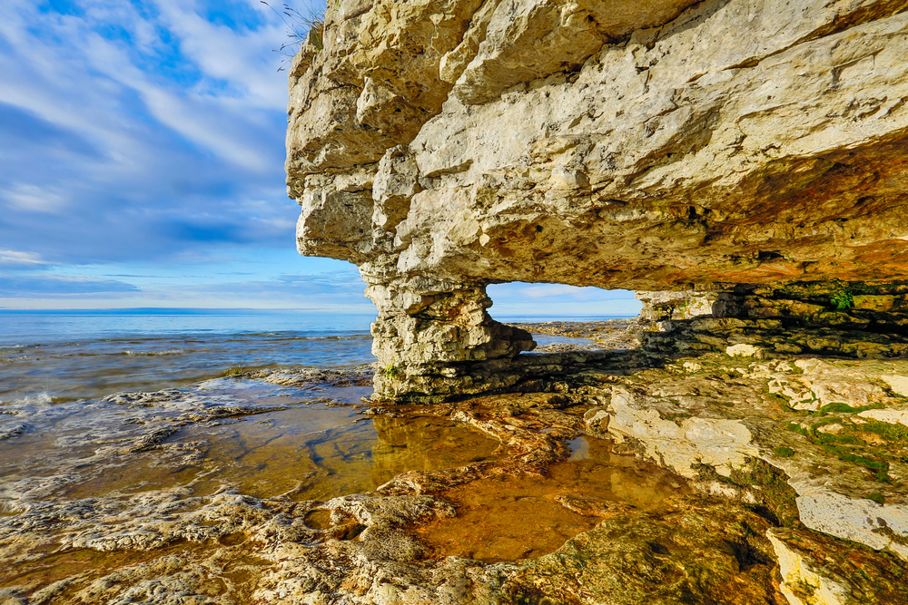
This challenging trail above Verbier climbs to a viewpoint overlooking three alpine lakes surrounded by glaciated peaks, mostly following rocky terrain with some steep sections. It’s one of the more demanding hikes in the Valais region but is considered safe for experienced hikers who are comfortable with elevation gain.
The reward at the top — three lakes sitting quietly beneath a wall of snow and ice — is the kind of thing that keeps hikers coming back to the Alps year after year.
Diavolezza to Munt Pers, Engadin
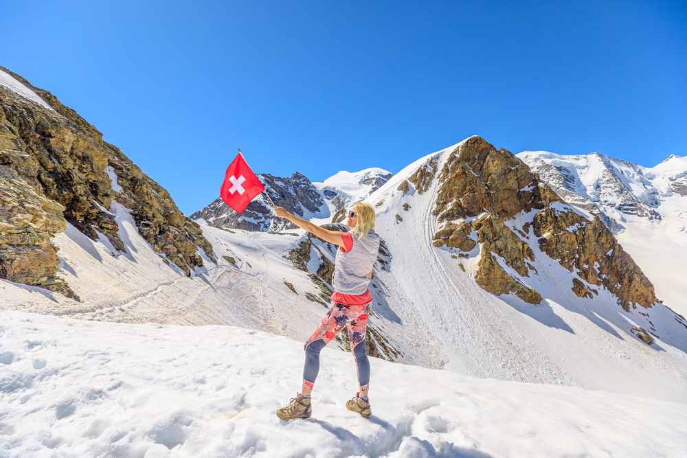
Starting from the Diavolezza cable car station, this 2.5-mile trail climbs to Munt Pers at 10,518 feet, where you’re greeted by a sweeping panorama of the Eastern Alps, including the Bernina massif. It’s a shorter route but demands surefooted hikers, as parts of the path are narrow and steep.
The St. Moritz area doesn’t get nearly the same hiking attention as the Bernese Oberland, which means you’ll likely share the summit with far fewer people.
The trails are only getting better from here

Switzerland has invested heavily in trail maintenance and signage for decades, and what you’re walking today is the result of generations of Alpine tradition. These 15 trails cover a wide range of difficulty, duration, and scenery — from quick half-day loops to serious multi-day adventures — so there’s no excuse not to lace up.
The Alps aren’t going anywhere, but the window for perfect hiking conditions is short; the best months run roughly from late June through early October. Plan well, pack light, and go.
More from Travel Pug

- Underrated Italian Towns That Beat the Tourist Crowds
- Las Vegas Tourist Traps to Skip
- Prettiest Towns in Every US State
- 18 passport-free countries for Americans
- Signs Your Cruise Is Not Worth The Cost
Like Travel Pug’s content? Follow us on MSN.